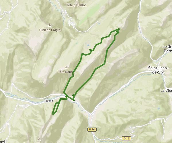
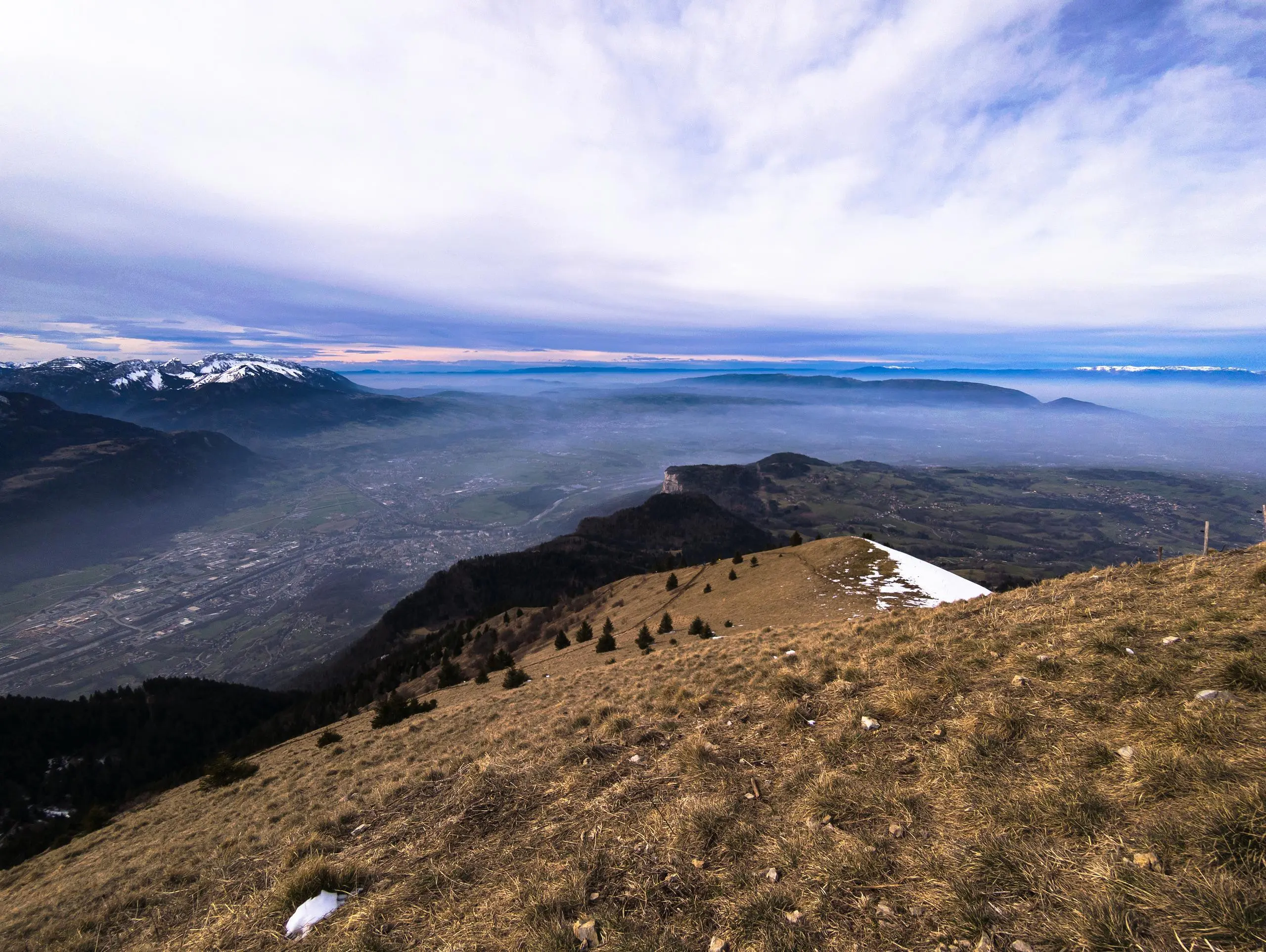
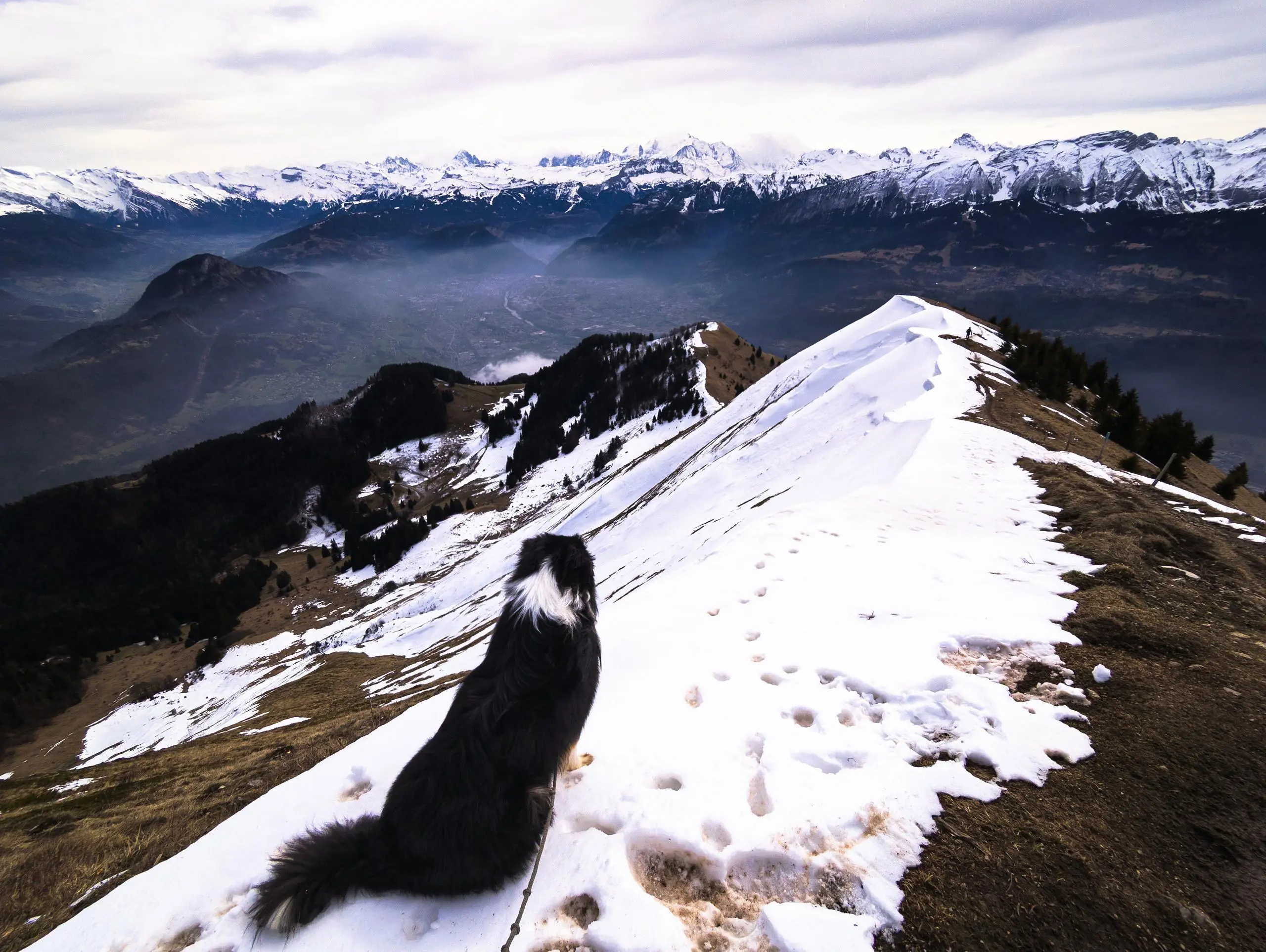
This hiking trail covers 8.039mi starting from Ayse, Haute-Savoie. The hike is a loop trail and returns to the trailhead. This hike is rated as moderate, plan for about 4h1m to complete it. The route has an elevation gain of 3524ft and an elevation loss of 4180ft.
Description of the route by the creator
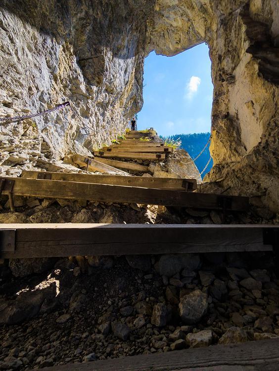
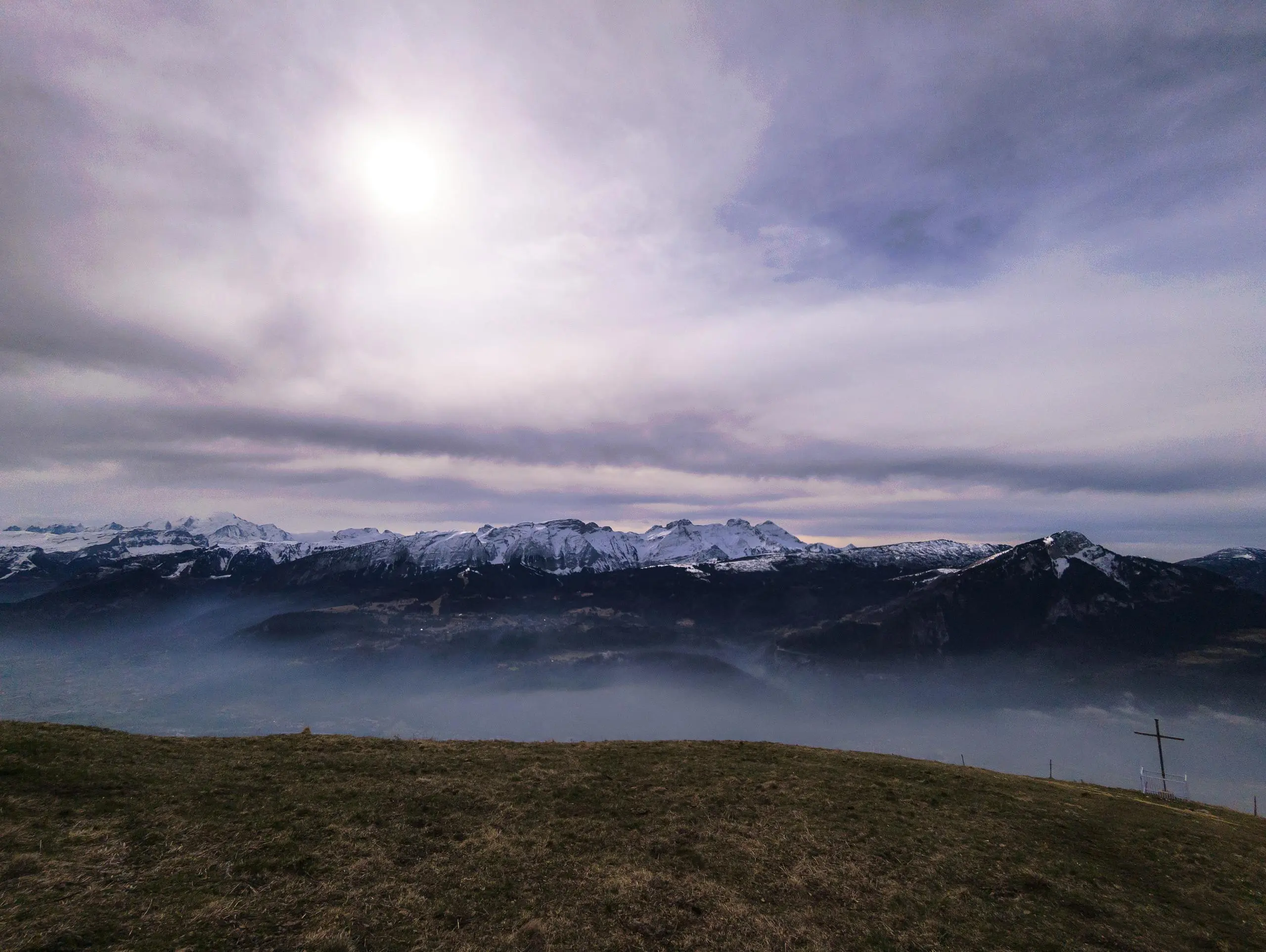
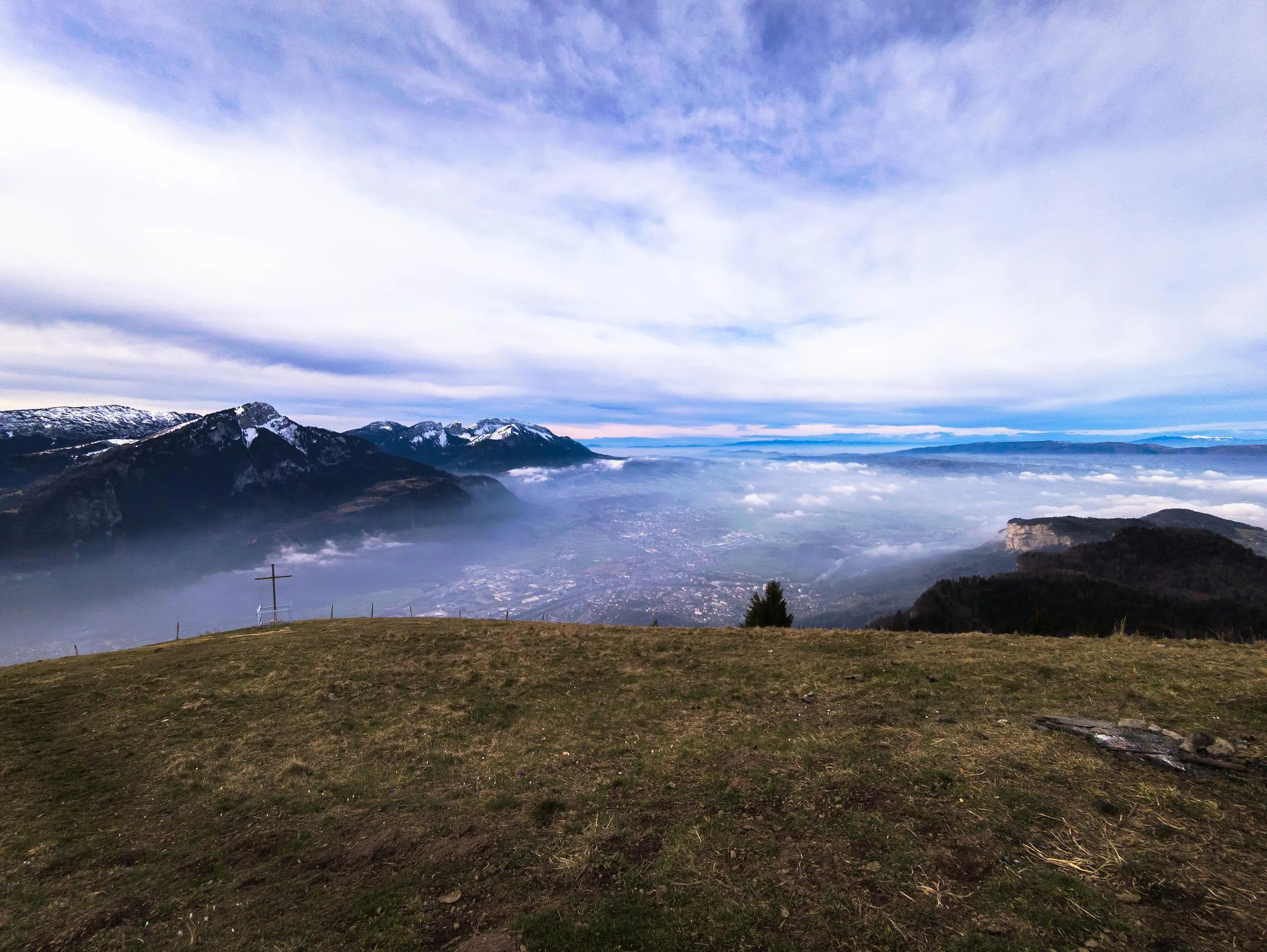
Park in the village. Then follow the signs up to the summit of Le Môle. The descent is on the opposite side of the mountain, with no particular difficulties. Take the forest road to the parking area.