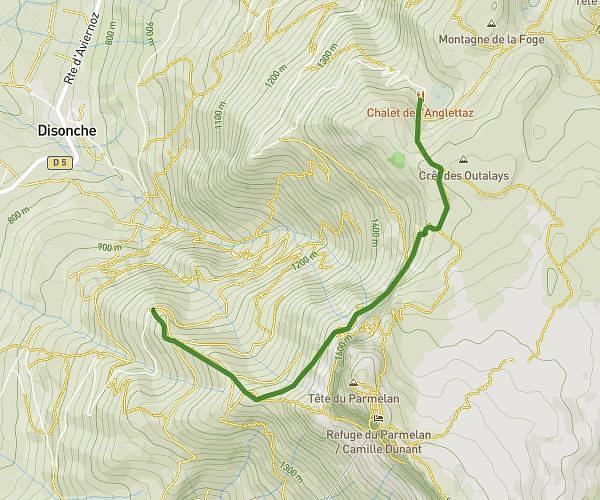
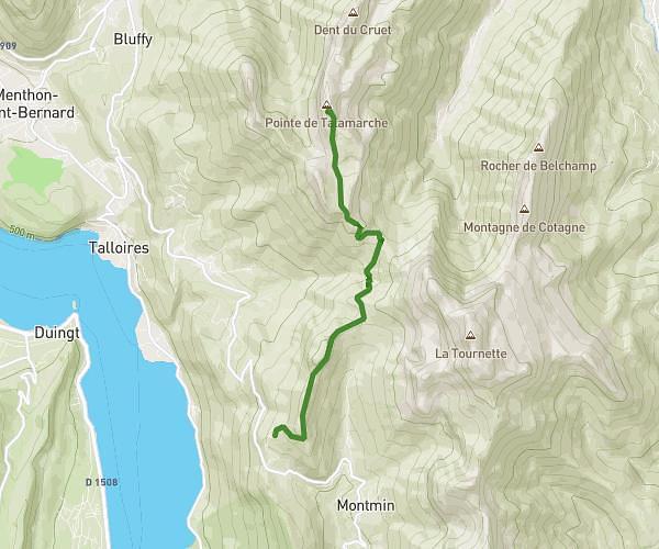
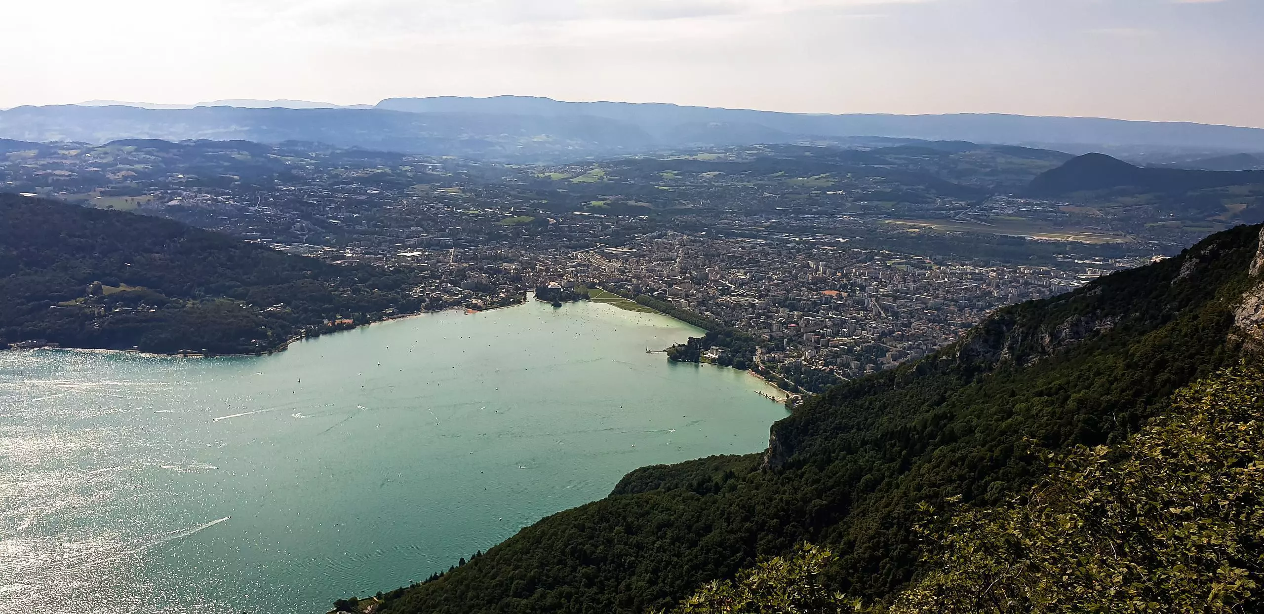
MapPlanner
5.668mi
Distance
3h30m
Duration
1.62mph
Speed
3740ft
Elevation gain
3734ft
Elevation loss
1470ft
Min altitude
4203ft
Max altitude
Very difficult
Level

Mont Baron depuis le lac d'Annecy

View from Mount Veyrier
View from Mount Baron

Route details

Explore this hiking route of 5.668mi starting from Annecy-le-Vieux, Haute-Savoie. The hike is a loop and returns to the starting point. This hike is rated as very difficult, plan for about 3h30m to complete it. The route has an elevation gain of 3740ft and an elevation loss of 3734ft.

Description of the route by the creator

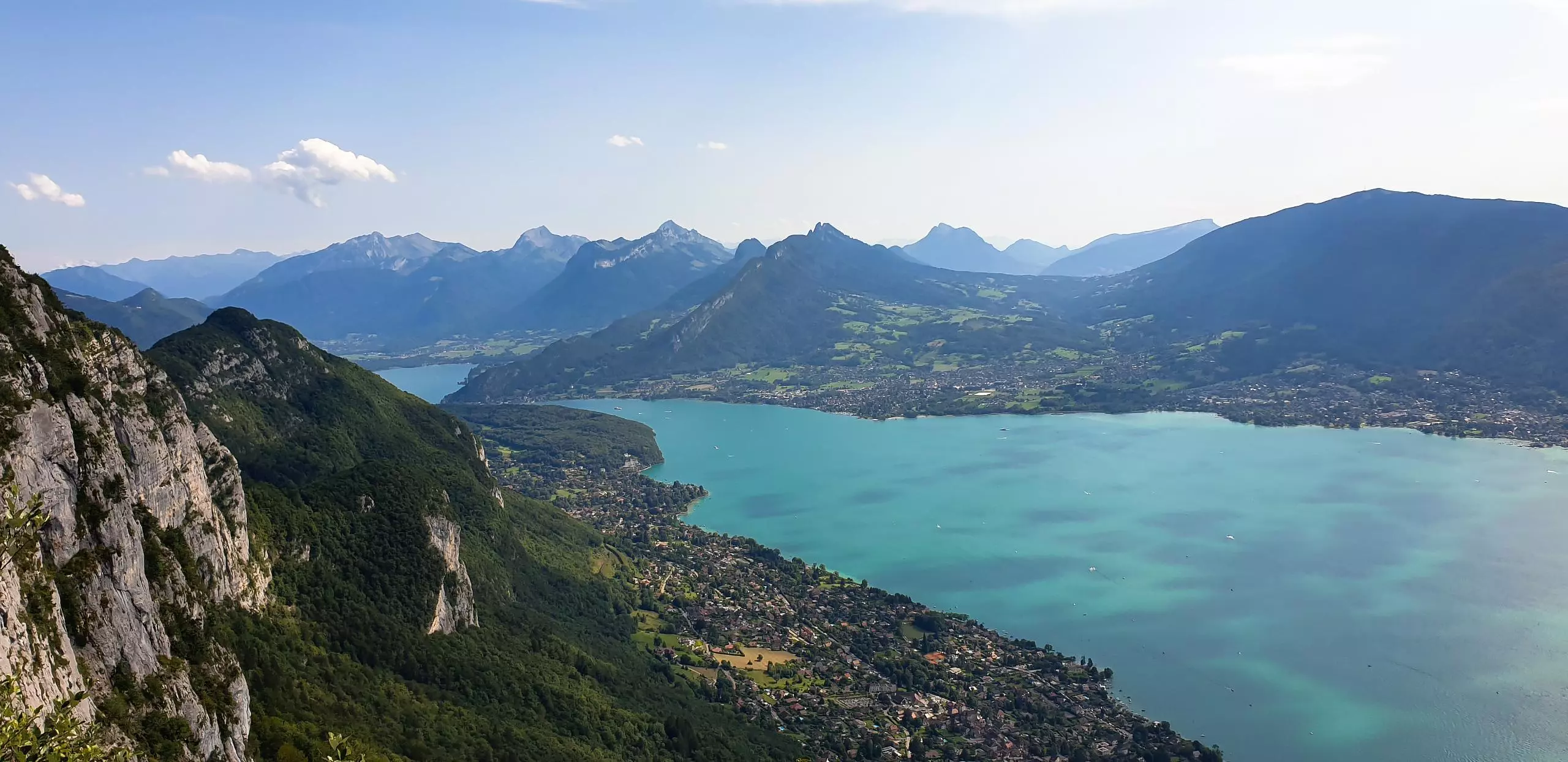
Departure from the lake of Annecy, passing by the parking of the Pré Vernet then the hollow of the Wolf to reach the Mont Baron. Return along the cliff with the Mont Veyrier.

(Description automatically translated)

Route profile

3740ft
Elevation gain
3734ft
Elevation loss
1470ft
Min altitude
4203ft
Max altitude
Route information

How to get there

Route starting point: D 909, 74940 Annecy, France

GPS coordinates of the starting point: 45.90401, 6.15985 / 45°54'14'' N, 6°9'35'' E