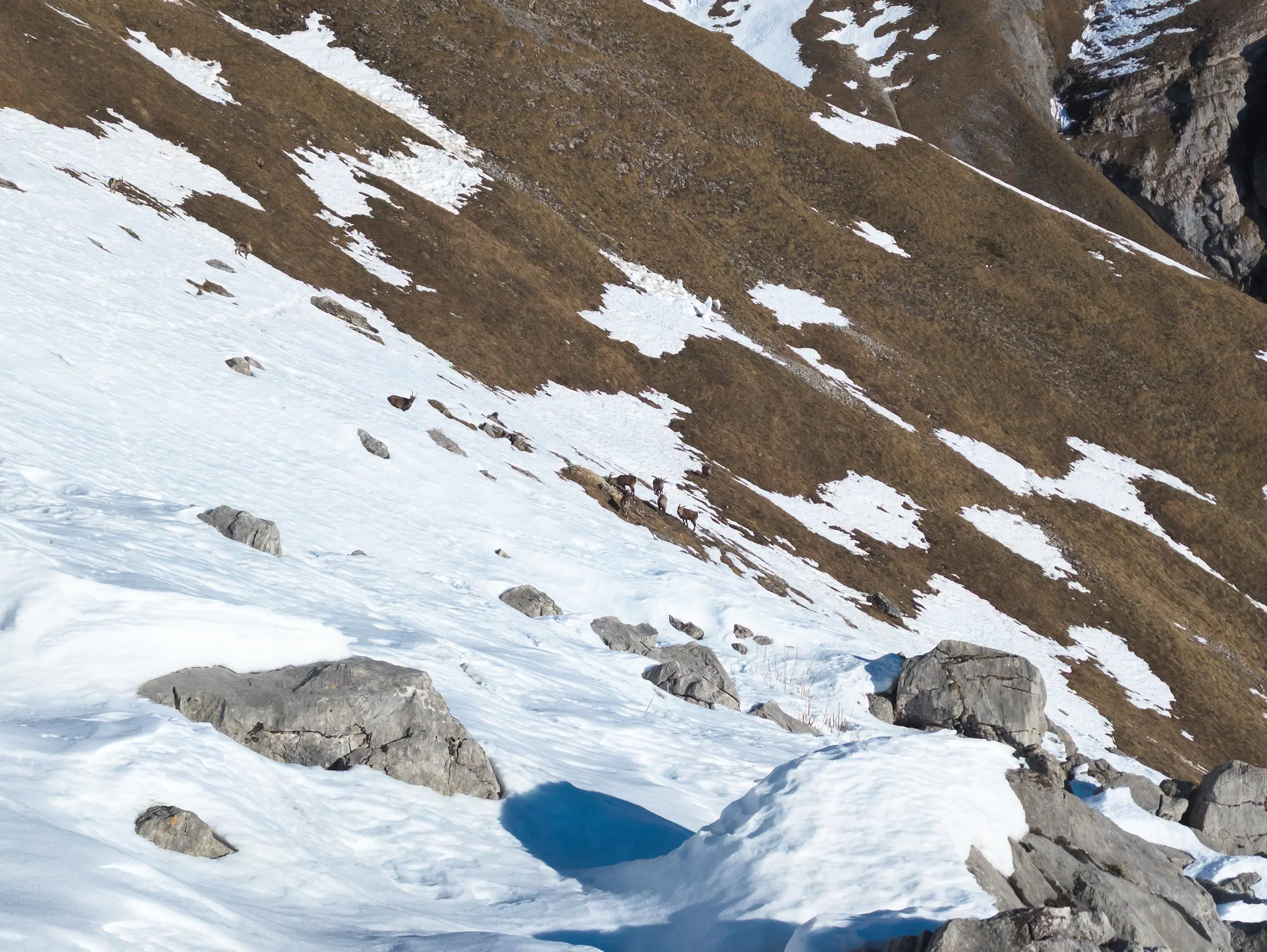
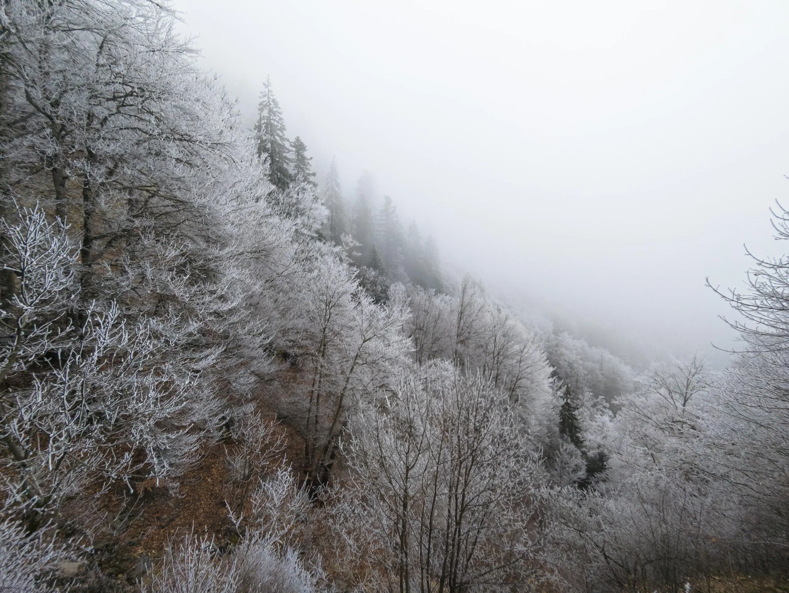
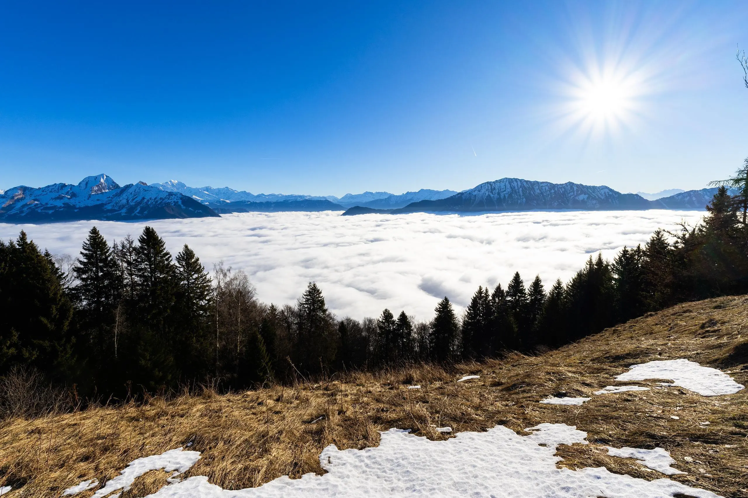
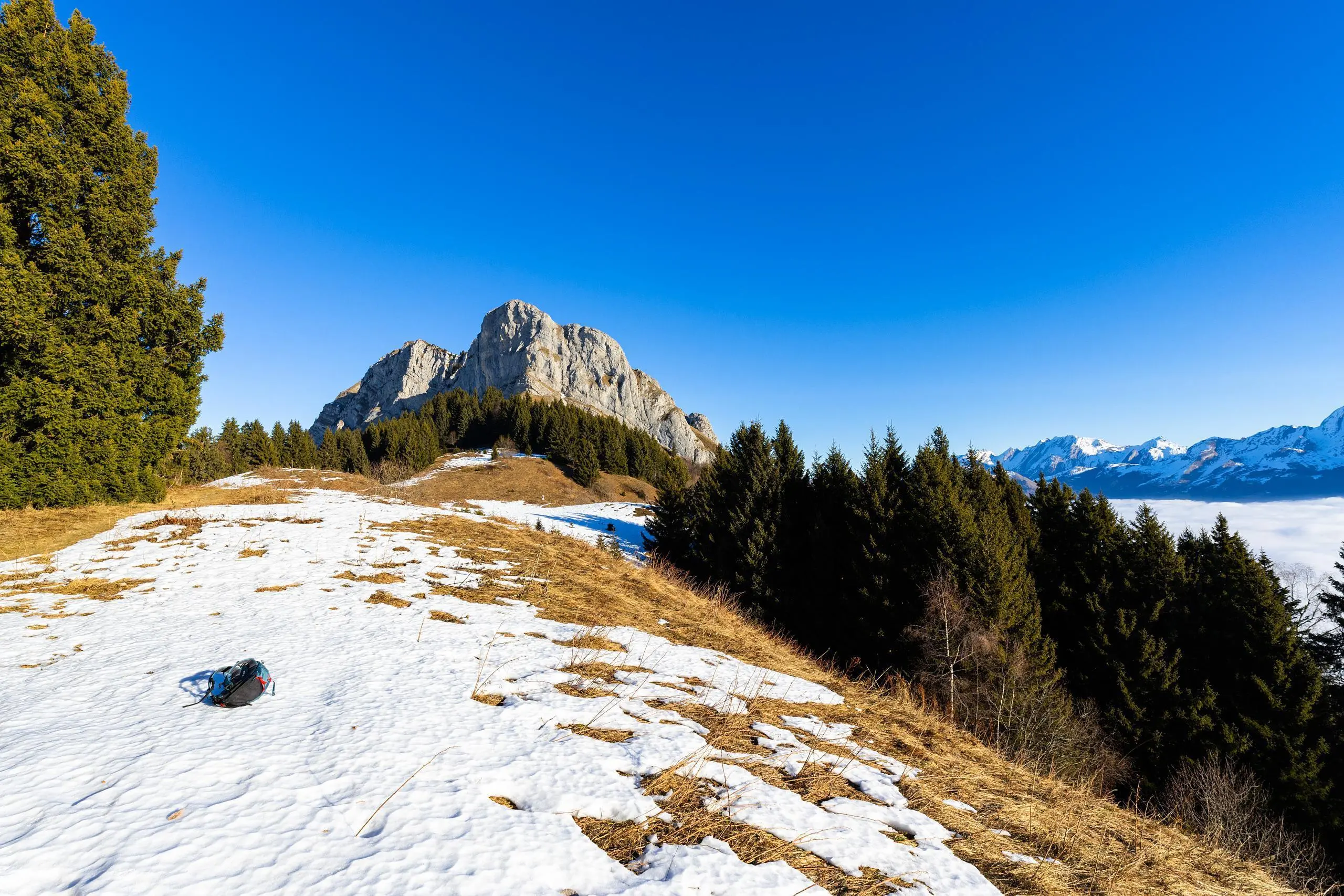
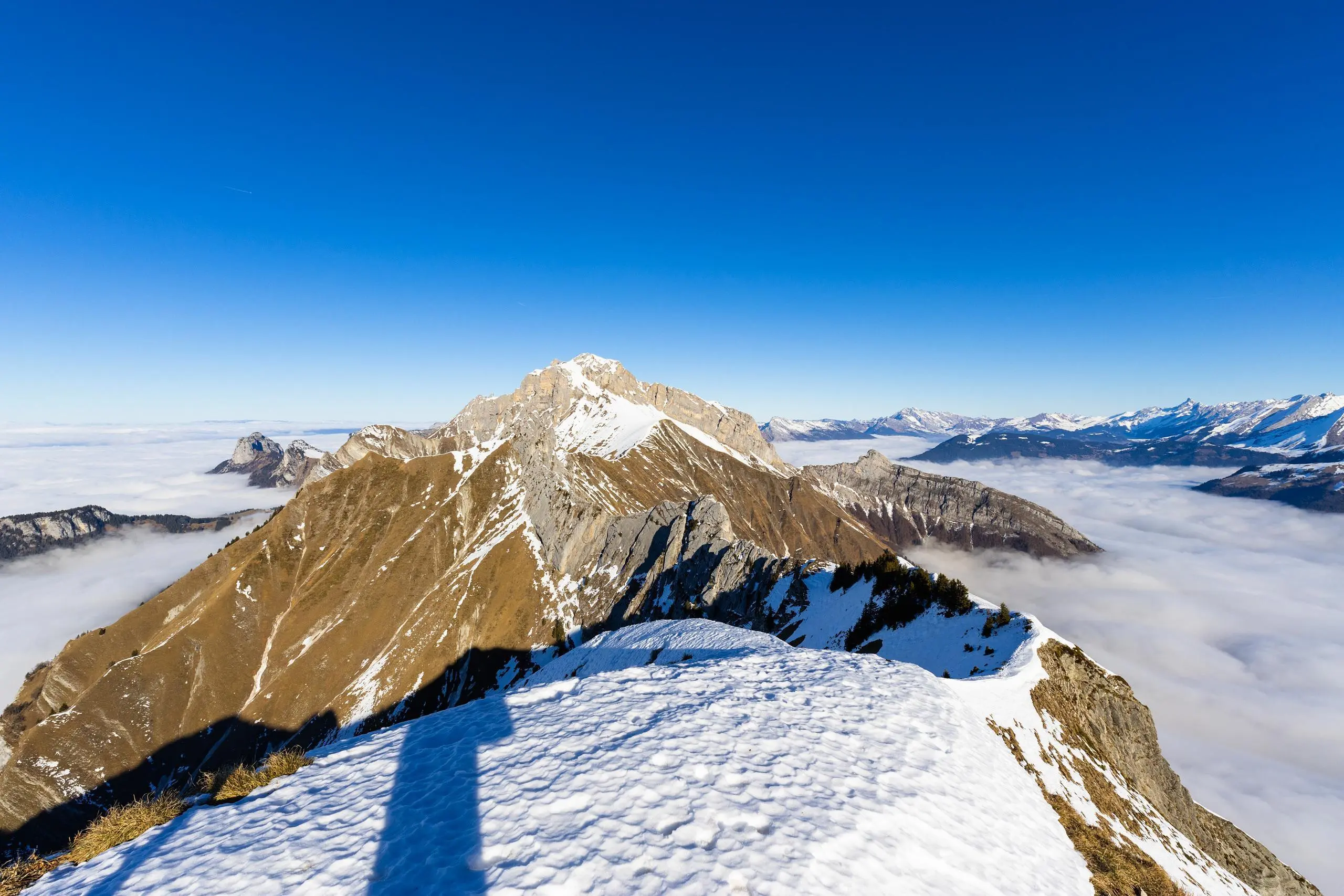

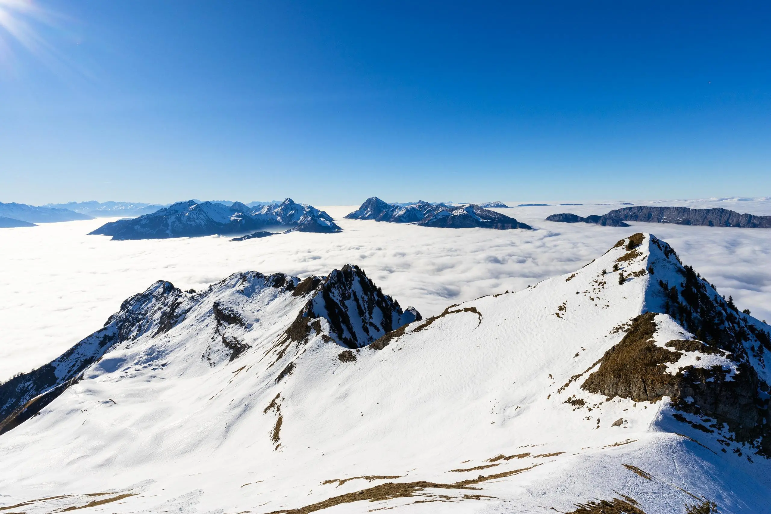
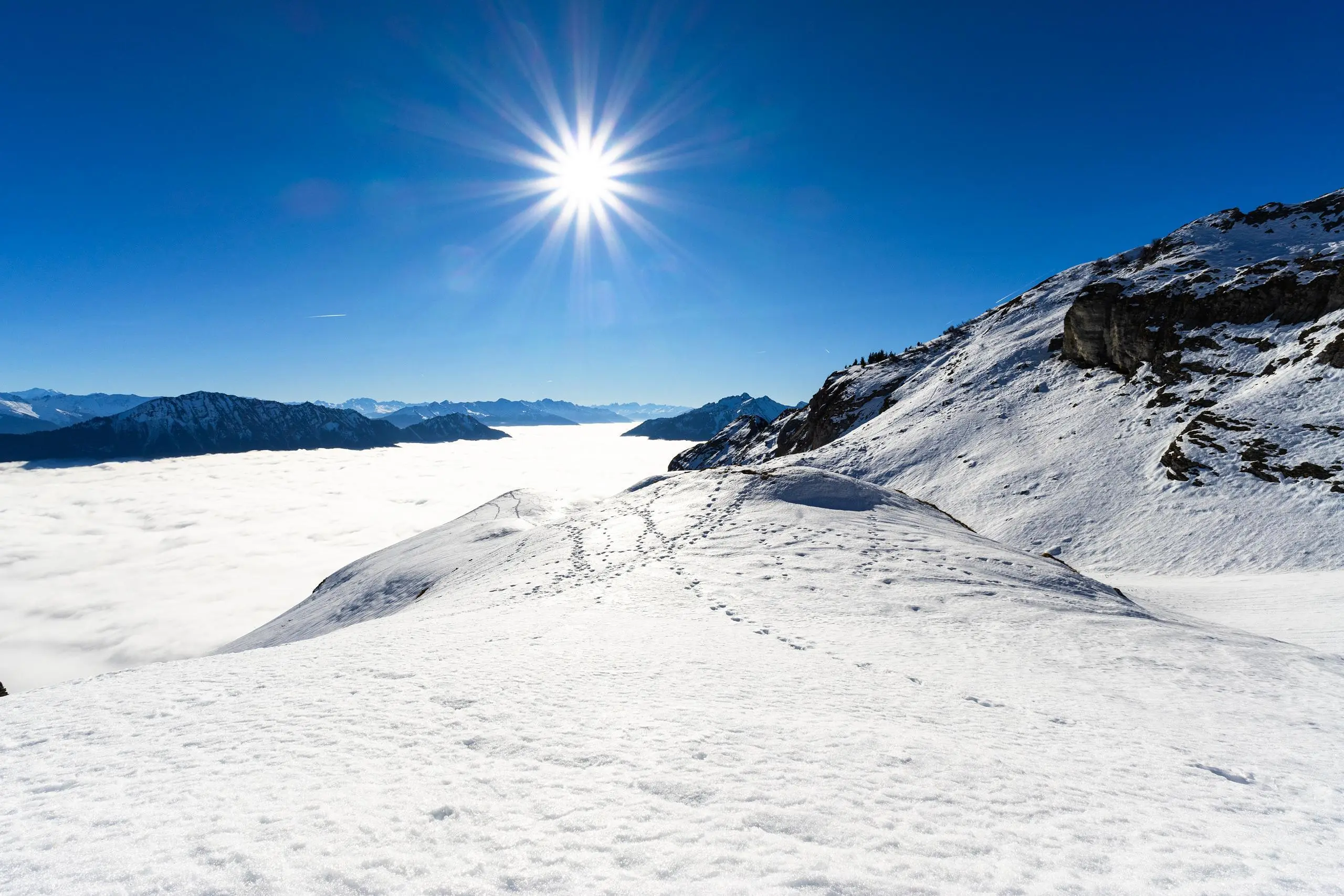
This hiking trail covers 8.187mi starting from Talloires-Montmin, Haute-Savoie. The hike is a loop trail and returns to the trailhead. This hike is rated as hard, plan for about 4h40m to complete it. The route has an elevation gain of 3314ft and an elevation loss of 3337ft.
Description of the route by the creator
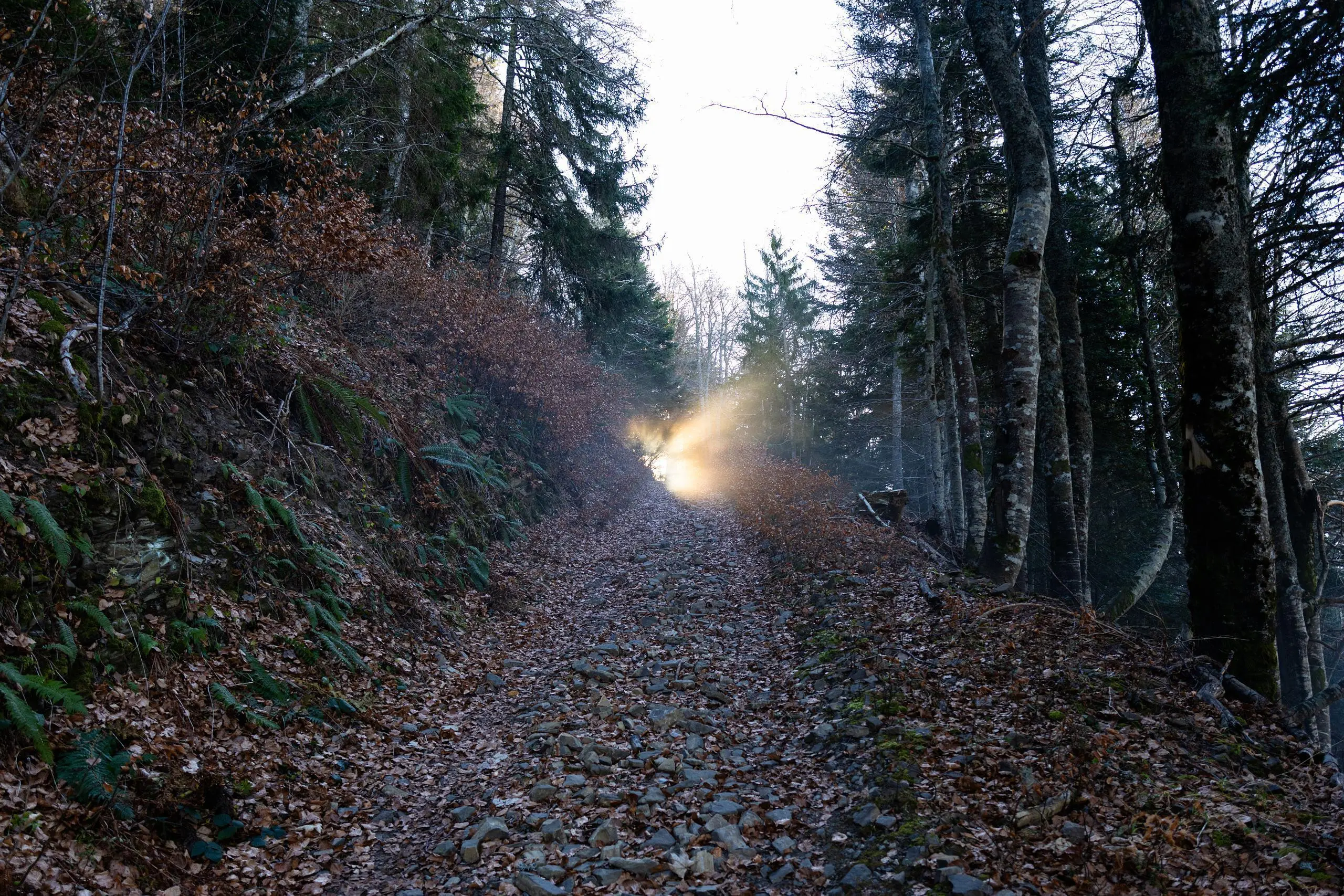
Park a little further along the forest track. Follow the signs to the summit. Take the same route back.


