Aravis: runs, hikes and bike rides
Discover all routes tagged « Aravis », located in the regions: Haute-Savoie, Savoie.
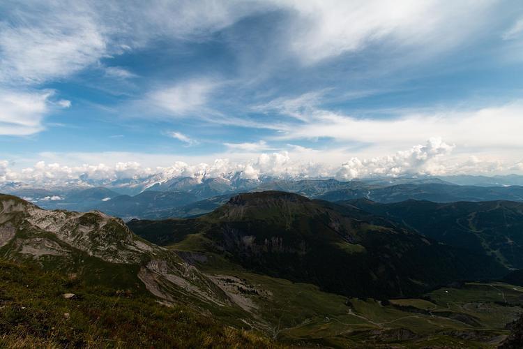
View on the Aravis massif
Path to the Chalet des Auges
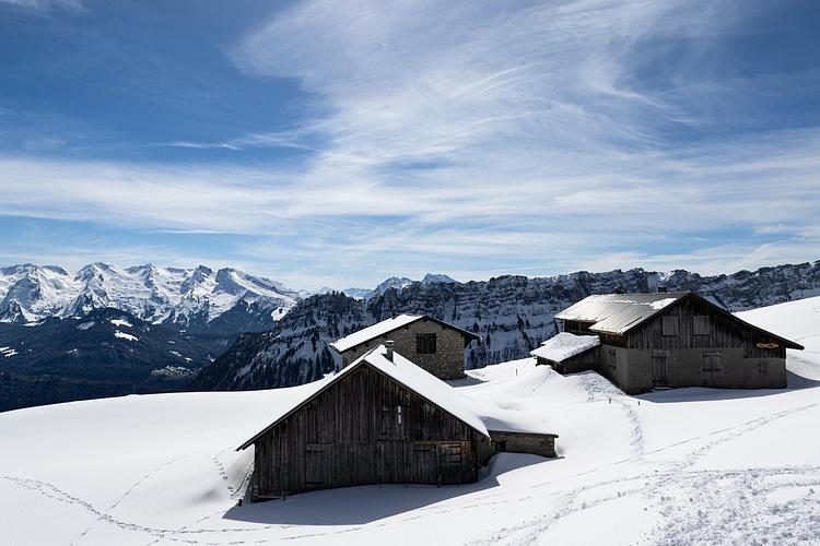
Les chalets des Auges
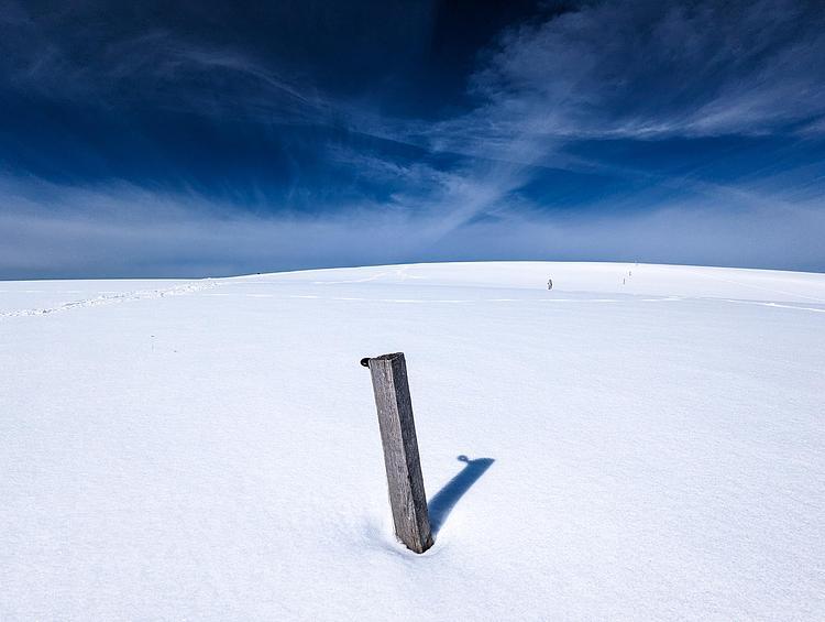
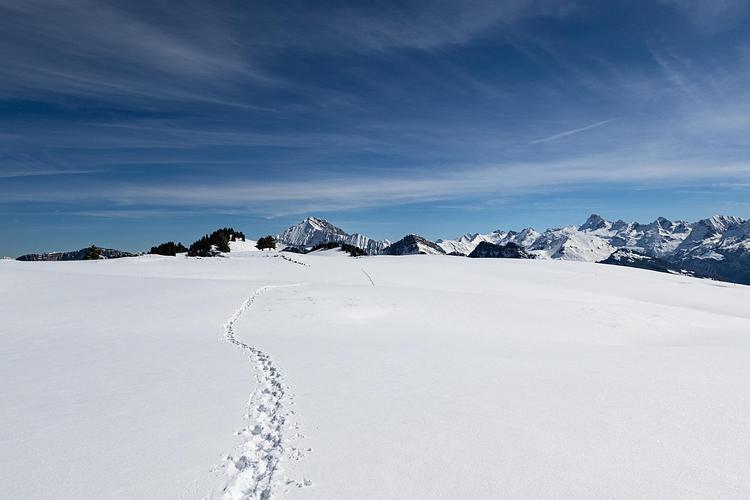
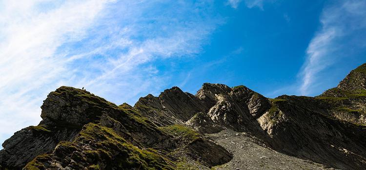
Minimalist landscape
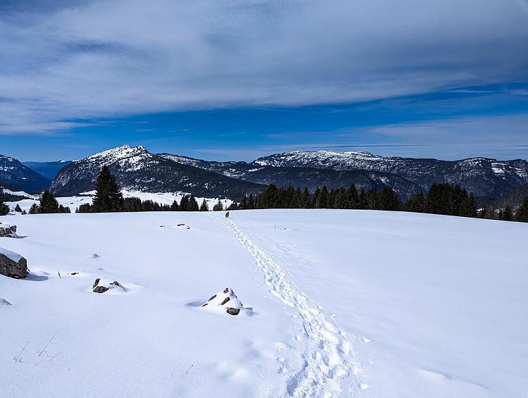
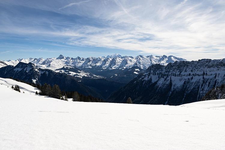
Back to Plan du Loup

View of La Tournette from Mon Charvin
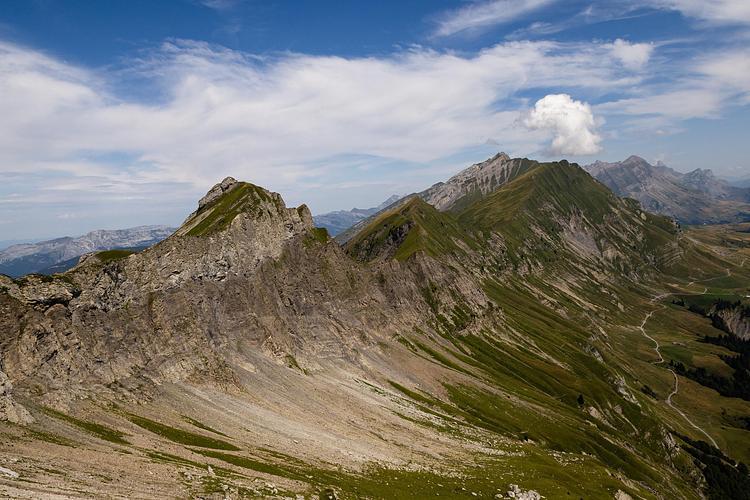
View of L'Étale from Mon Charvin
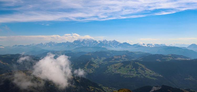
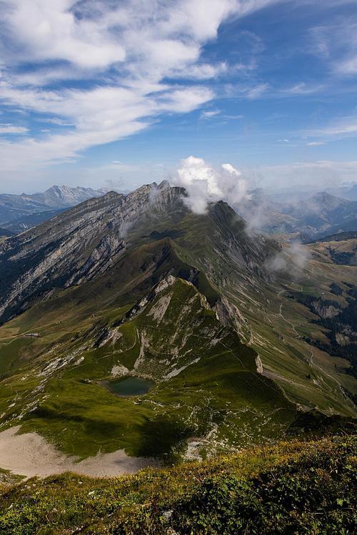
View of the Mont-Blanc massif from Mon Charvin
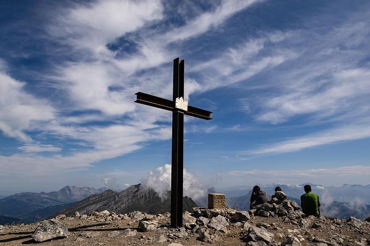
The cross at the summit of Mont Charvin
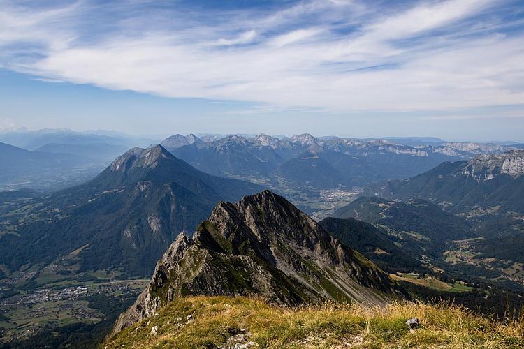
View of the Dent de Cons, in the background, from Mon Charvin
The descent to the
The view from Pas de L'Ours