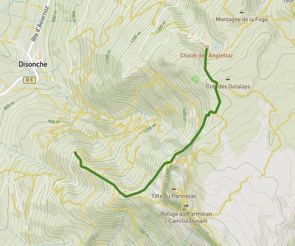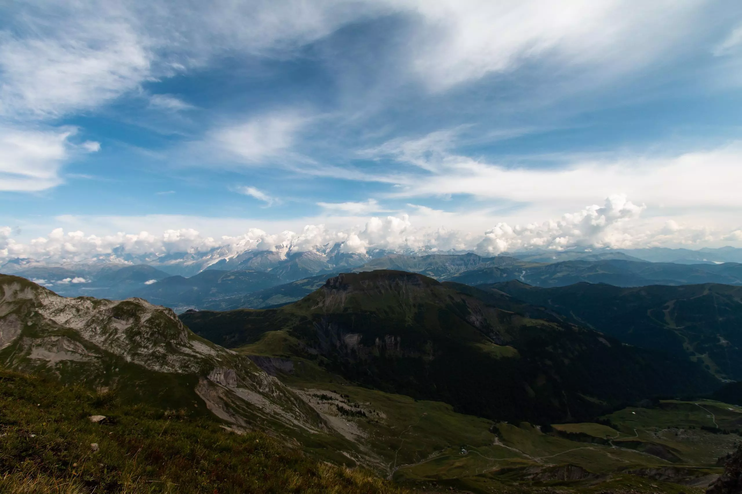
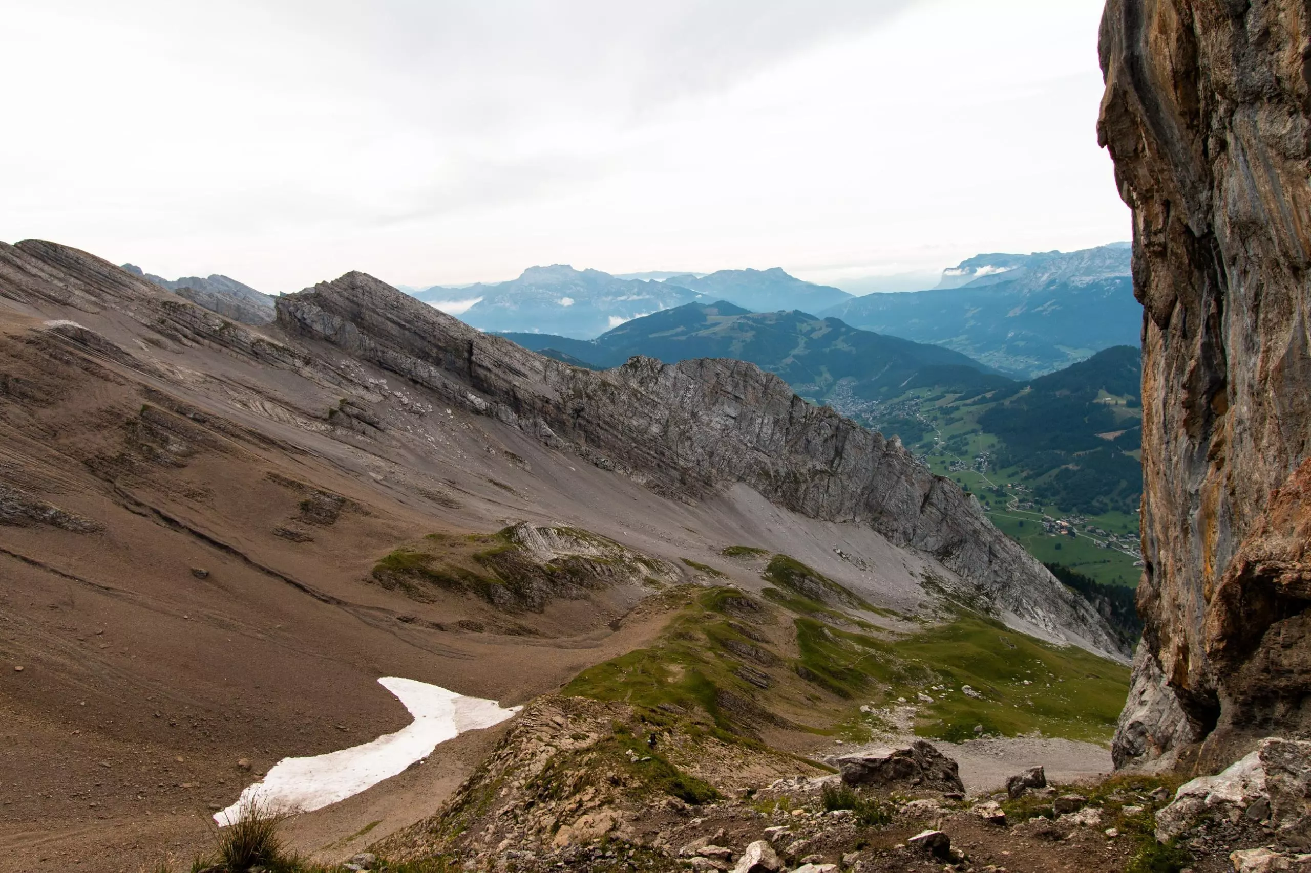
This hiking trail covers 5.631mi starting from La Clusaz, Haute-Savoie. The hike is a loop trail and returns to the trailhead. This hike is rated as strenuous, plan for about 4h15m to complete it. The route has an elevation gain of 3386ft and an elevation loss of 3396ft.
Description of the route by the creator
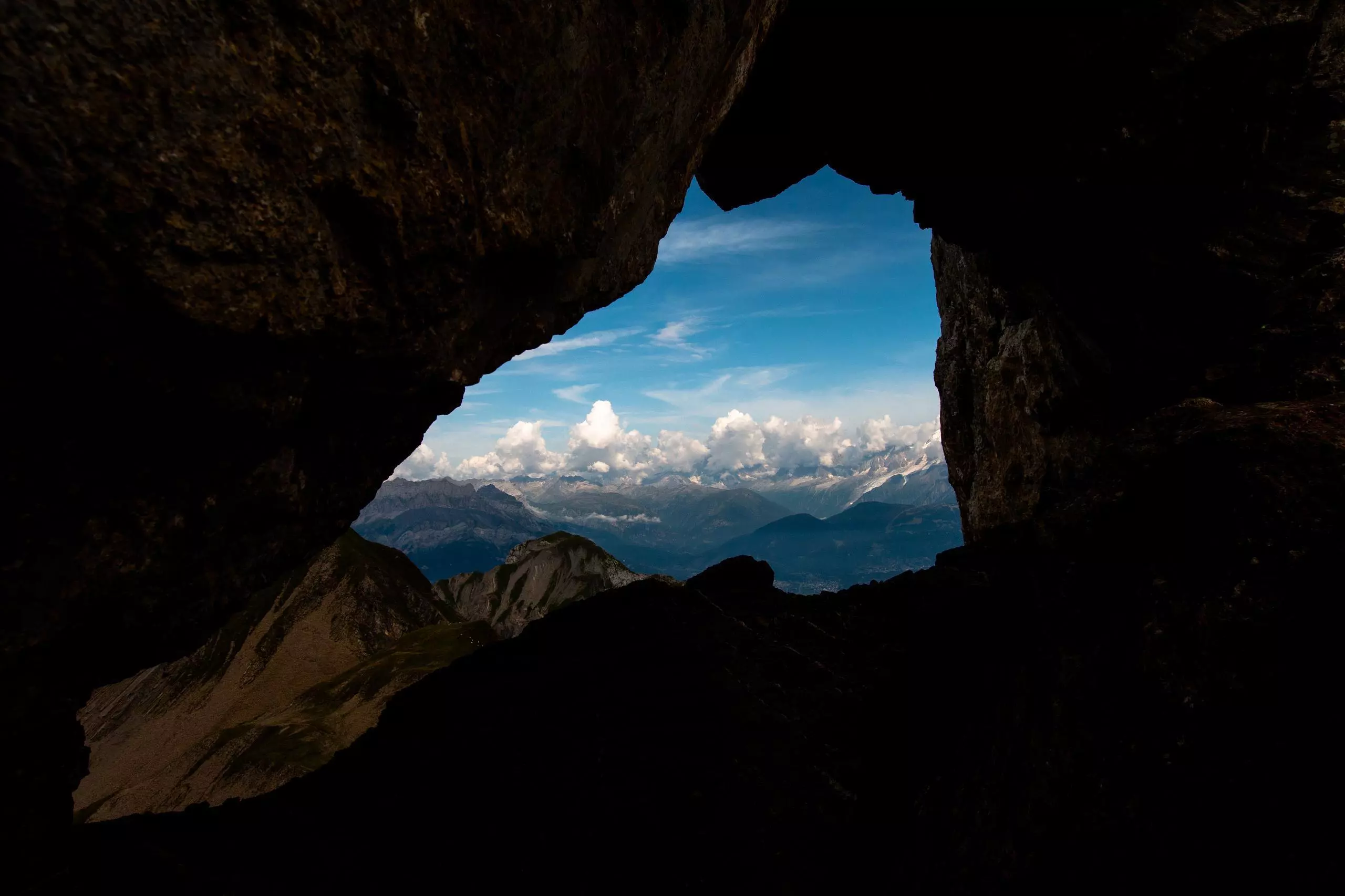
Loop to cross the hole of the fly from the pass of Confins in the Aravis range