MapPlanner
6.09mi
Distance
4h53m
Duration
+3402ft
Elevation gain
-3419ft
Elevation loss
Strenuous
Level

Mont Charvin (par la via ferrata)

View of La Tournette from Mon Charvin
View of L'Étale from Mon Charvin
View of the Mont-Blanc massif from Mon Charvin
The cross at the summit of Mont Charvin
View of the Dent de Cons, in the background, from Mon Charvin
The descent to the
The descent to the
The view from Pas de L'Ours

Route details

1.63mph
Speed
2417 kcal
Calories burned
21.2%
Avg grade
Loop trail
Route type
4892ft
Min altitude
7897ft
Max altitude
Steep climb

This hiking trail covers 6.09mi starting from Ugine, Savoie. The hike is a loop trail and returns to the trailhead. This hike is rated as strenuous, plan for about 4h53m to complete it. The route has an elevation gain of 3402ft and an elevation loss of 3419ft.

Description of the route by the creator

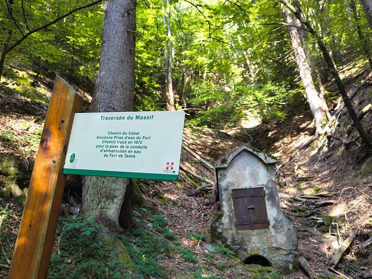
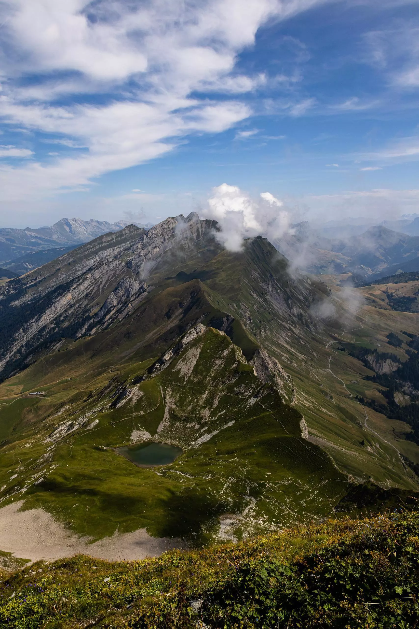
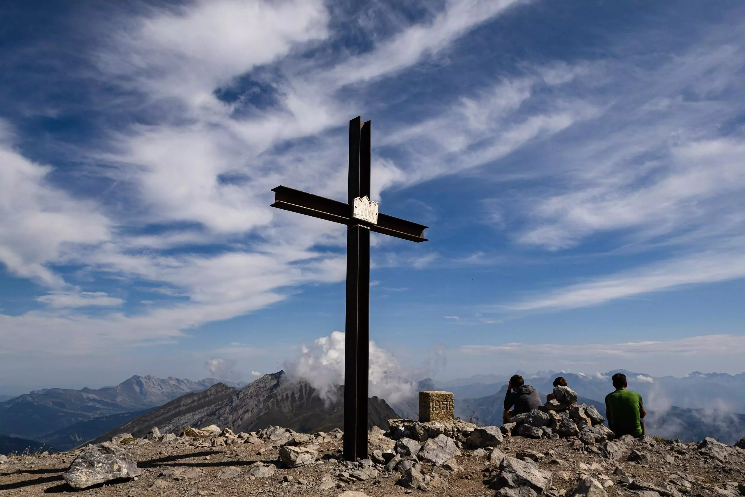
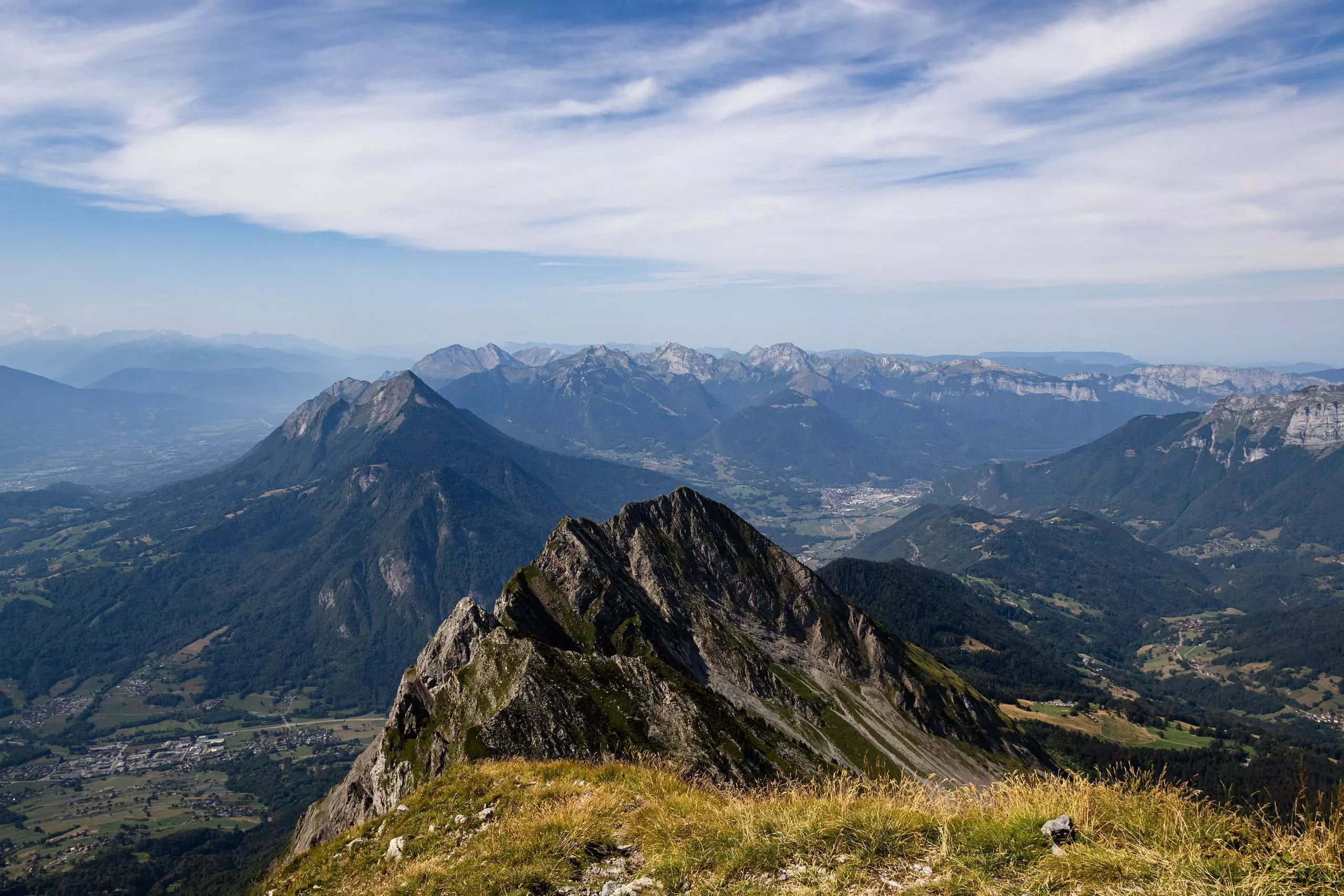
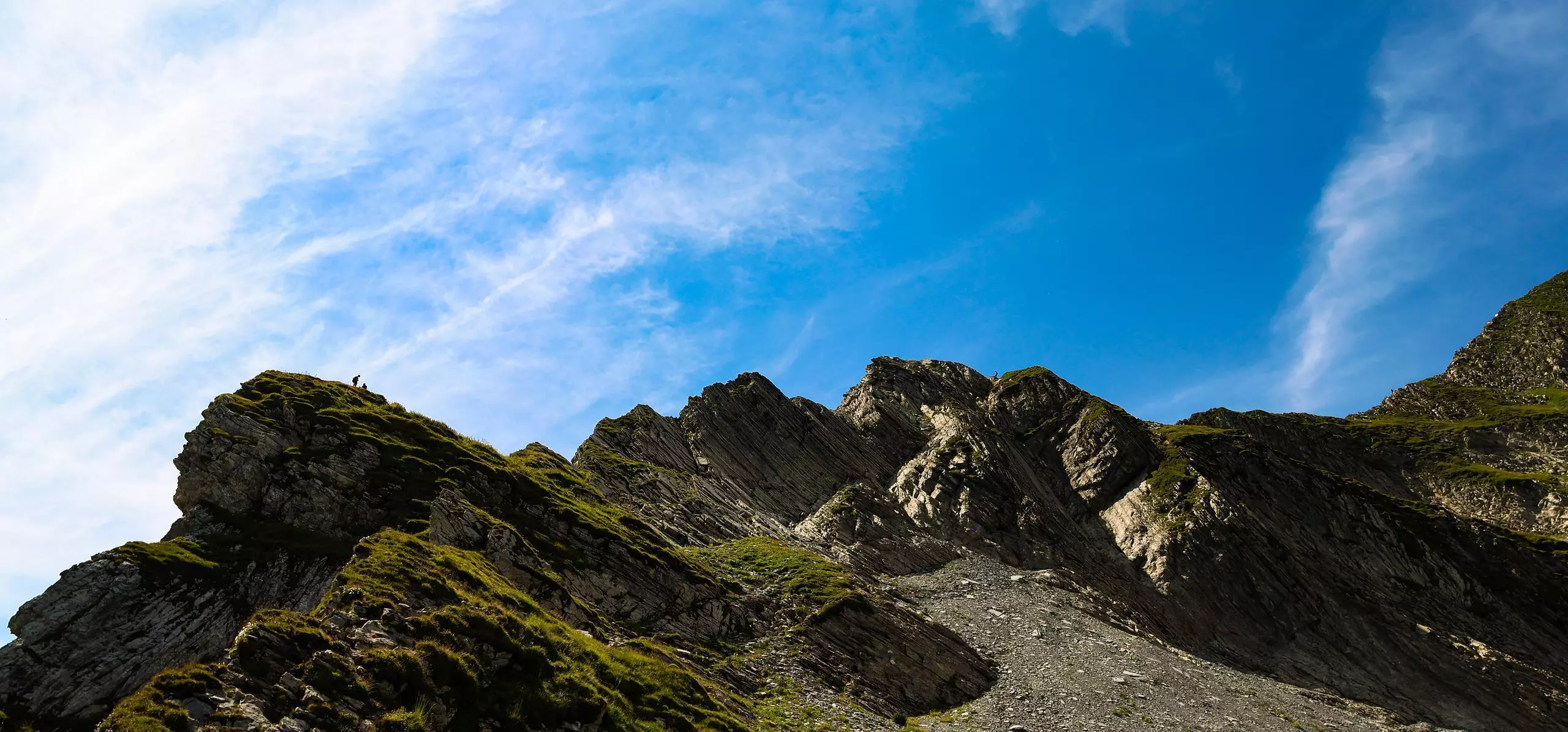
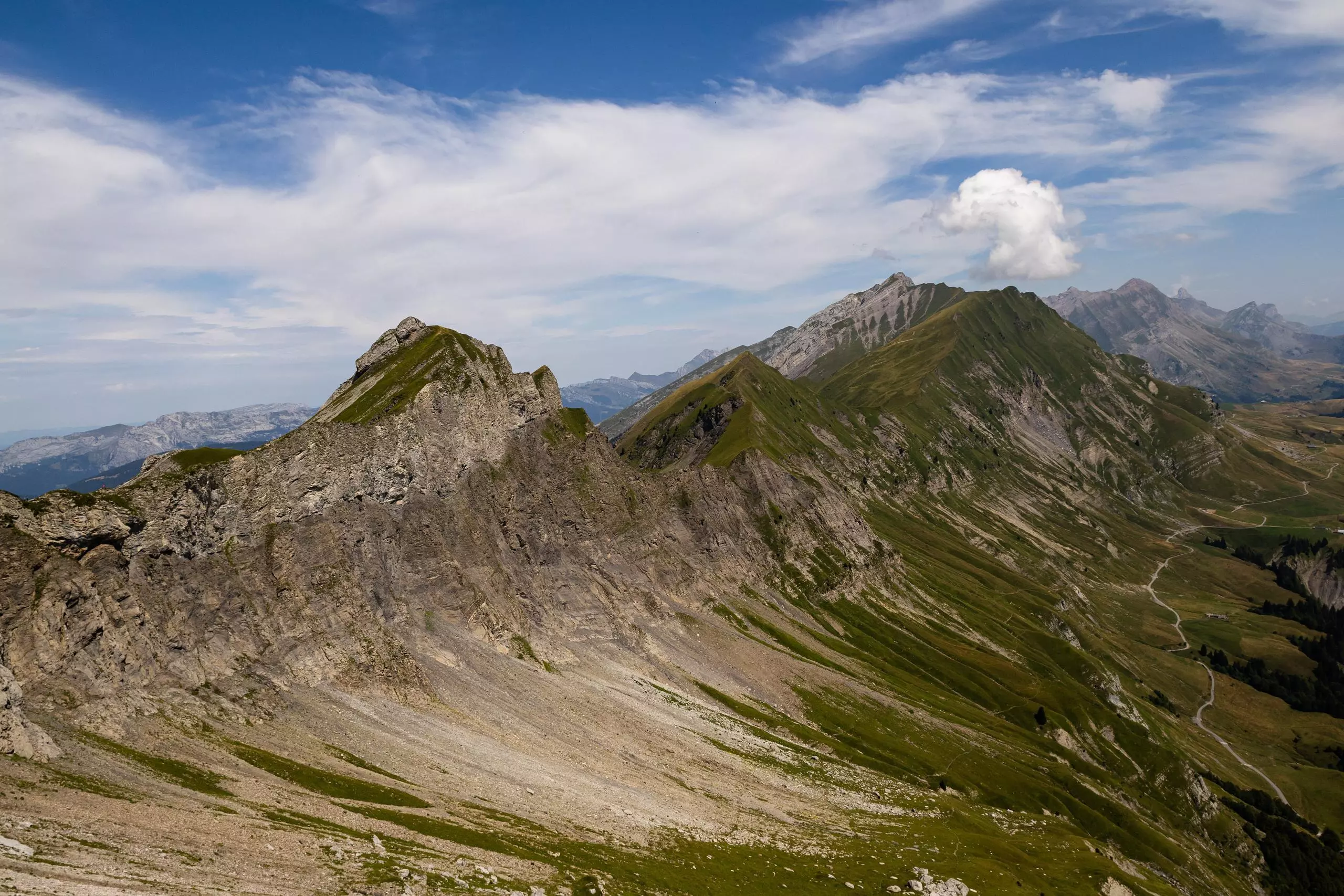
Please note: full via ferrata equipment is required for this route. The route starts from the Les Bassins parking lot. The first 400 m of ascent are on a classic hiking trail. Then, once you've reached the via ferrata on the north ridge (well signposted and with a lifeline), you need to equip yourself. Then follow the lifeline to the summit of Mont Charvin. Then take the path leading down to the Arête du pas de l'Ours (there are a few places where you can hang on, but these are not particularly difficult). Before reaching the ridge, turn right to follow the via ferrata that crosses the small wall (much shorter than the ascent, but equipment is required). You then arrive at the pas de l'Ours, just above the end of the via ferrata. Finally, take the only path back down to Merdassier. Then take the road back to the parking lot at the start.

(Description automatically translated)

Route profile

3402ft
Elevation gain
3419ft
Elevation loss
4892ft
Min altitude
7897ft
Max altitude

How to get there

Trailhead: Route Des Montagnes, 73400 Ugine, France

GPS coordinates of the trailhead: 45.79388, 6.42738 / 45°47'37'' N, 6°25'38'' E

Caution: May Cross Private Property

This route may pass through or near private property. Always respect posted signs, obtain permission where required, and follow local trespassing laws. MapPlanner does not guarantee public access along any route.

Safety Notice

Trail and road conditions may change without notice due to weather, construction, or other factors. Always verify current conditions before heading out. You are responsible for your own safety — follow local signage, obey traffic laws, and use your best judgment on the trail.