MapPlanner
5.543mi
Distance
3h15m
Duration
+1752ft
Elevation gain
-1808ft
Elevation loss
Hard
Level

Mont Charvaz depuis Ontex

View of the village of Ontex from the start
The last climb before Mont Charvaz
View to the north from Mont Charvaz
View south from Mont Charvaz
The old charcoal-making basins

Route details

1.94mph
Speed
1503 kcal
Calories burned
12.2%
Avg grade
Loop trail
Route type
2362ft
Min altitude
3802ft
Max altitude
Steep climb

This hiking trail covers 5.543mi starting from Ontex, Savoie. The hike is a loop trail and returns to the trailhead. This hike is rated as hard, plan for about 3h15m to complete it. The route has an elevation gain of 1752ft and an elevation loss of 1808ft.

Description of the route by the creator

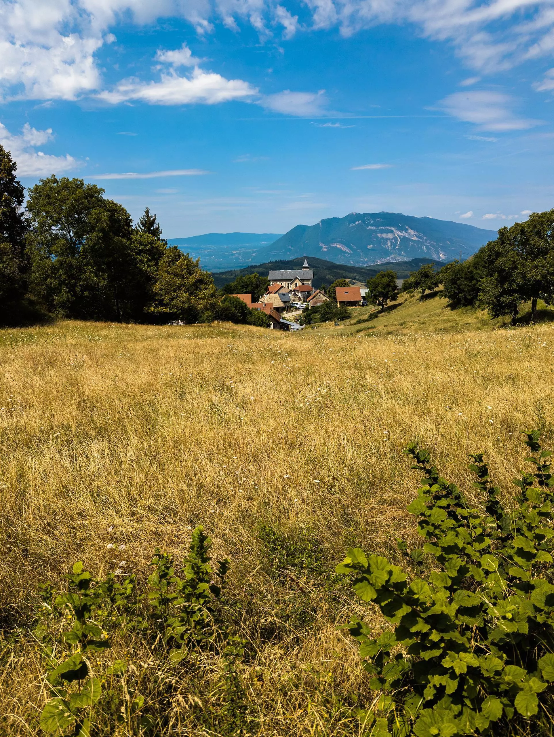
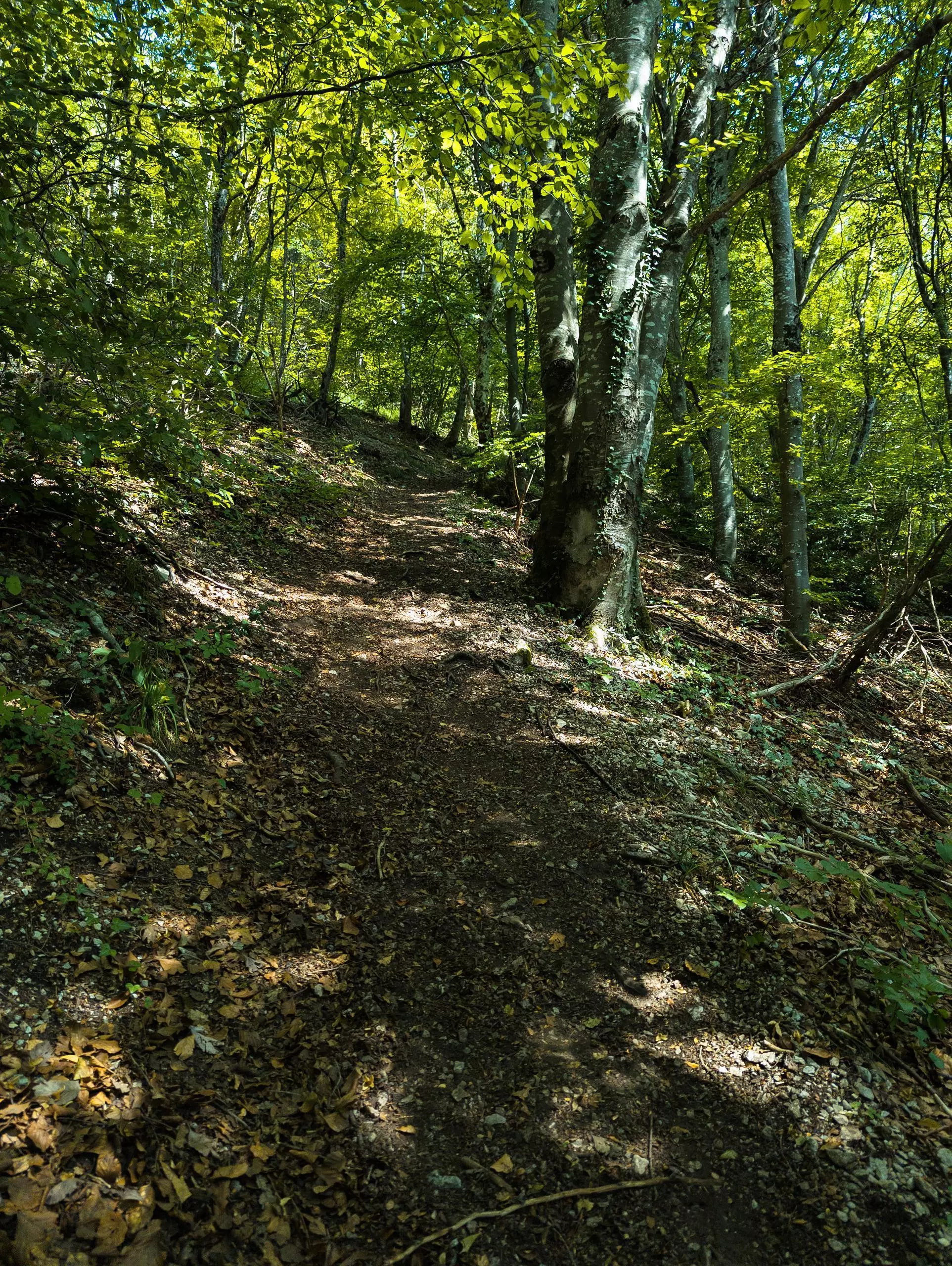
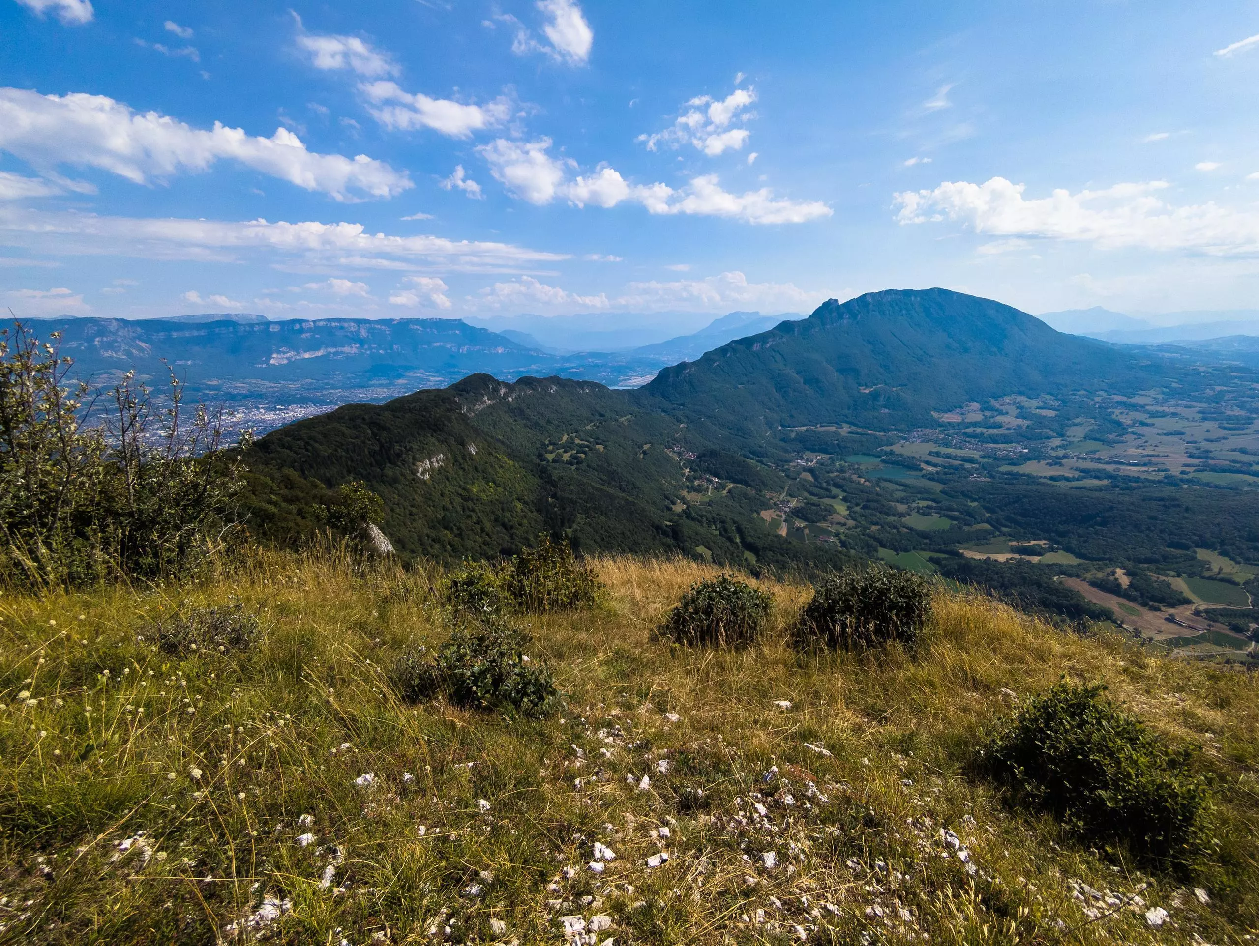
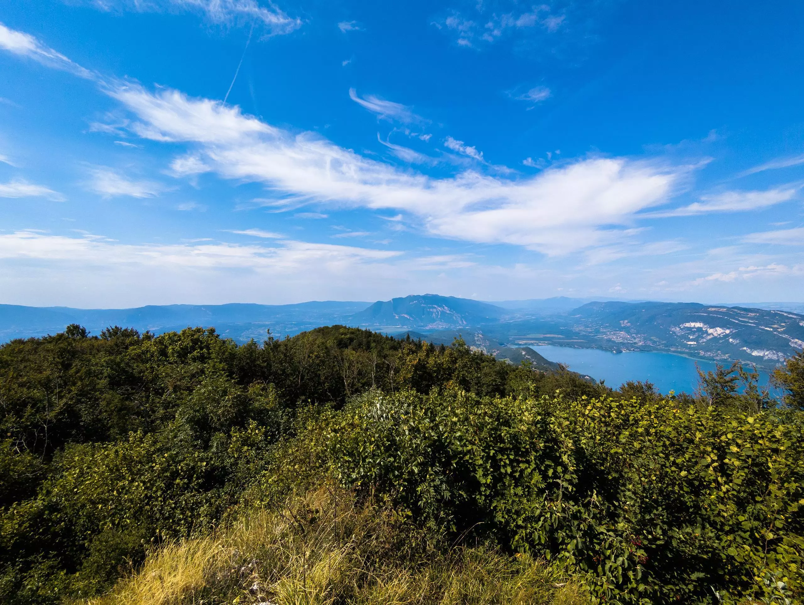
The hike starts from the village of Ontex. Park near the church. The path does not follow a signposted itinerary, so follow the route of this hike. The most difficult part is the final climb to Mont Charvaz. The slope is steep and the path slippery. Once at the summit, there are two viewpoints on either side of the path. Go back down the other side, where the path is much easier than on the way up. The signs to return to Ontex are there.

(Description automatically translated)

Route profile

1752ft
Elevation gain
1808ft
Elevation loss
2362ft
Min altitude
3802ft
Max altitude

How to get there

Trailhead: 116 Chemin Des Barmes, 73310 Ontex, France

GPS coordinates of the trailhead: 45.75412, 5.82145 / 45°45'14'' N, 5°49'17'' E

Caution: May Cross Private Property

This route may pass through or near private property. Always respect posted signs, obtain permission where required, and follow local trespassing laws. MapPlanner does not guarantee public access along any route.

Safety Notice

Trail and road conditions may change without notice due to weather, construction, or other factors. Always verify current conditions before heading out. You are responsible for your own safety — follow local signage, obey traffic laws, and use your best judgment on the trail.