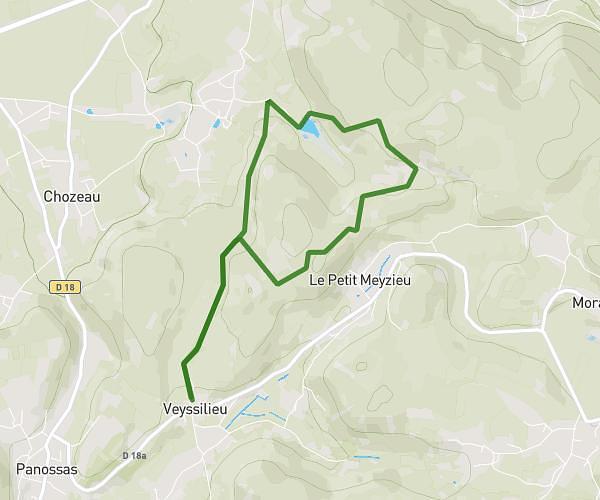
This hiking trail covers 5.808mi starting from La Bâtie-Montgascon, Isère. The hike is a loop trail and returns to the trailhead. This hike is rated as moderate, plan for about 1h30m to complete it. The route has an elevation gain of 659ft and an elevation loss of 659ft.
ppp p
Route details
3.87mph
Speed
653 kcal
Calories burned
4.3%
Avg grade
Loop trail
Route type
1106ft
Min altitude
1391ft
Max altitude
Route profile
659ft
Elevation gain
659ft
Elevation loss
1106ft
Min altitude
1391ft
Max altitude
How to get there
Trailhead: 94 Impasse De La Chapelière, 38110 La Bâtie-Montgascon, France
GPS coordinates of the trailhead: 45.581044, 5.535276 / 45°34'51'' N, 5°32'6'' E