This hiking trail covers 15.05mi starting from Revel, Isère. The hike does not return to the trailhead and ends near Route Forestière De Pré Raymond, 38420 Revel, France. This hike is rated as strenuous, plan for about 9h to complete it. The route has an elevation gain of 6329ft and an elevation loss of 6759ft.
Description of the route by the creator
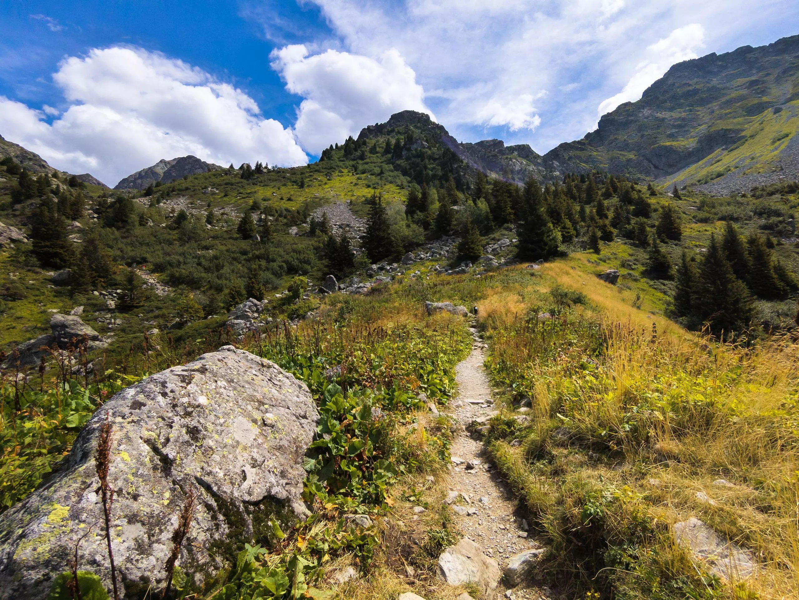
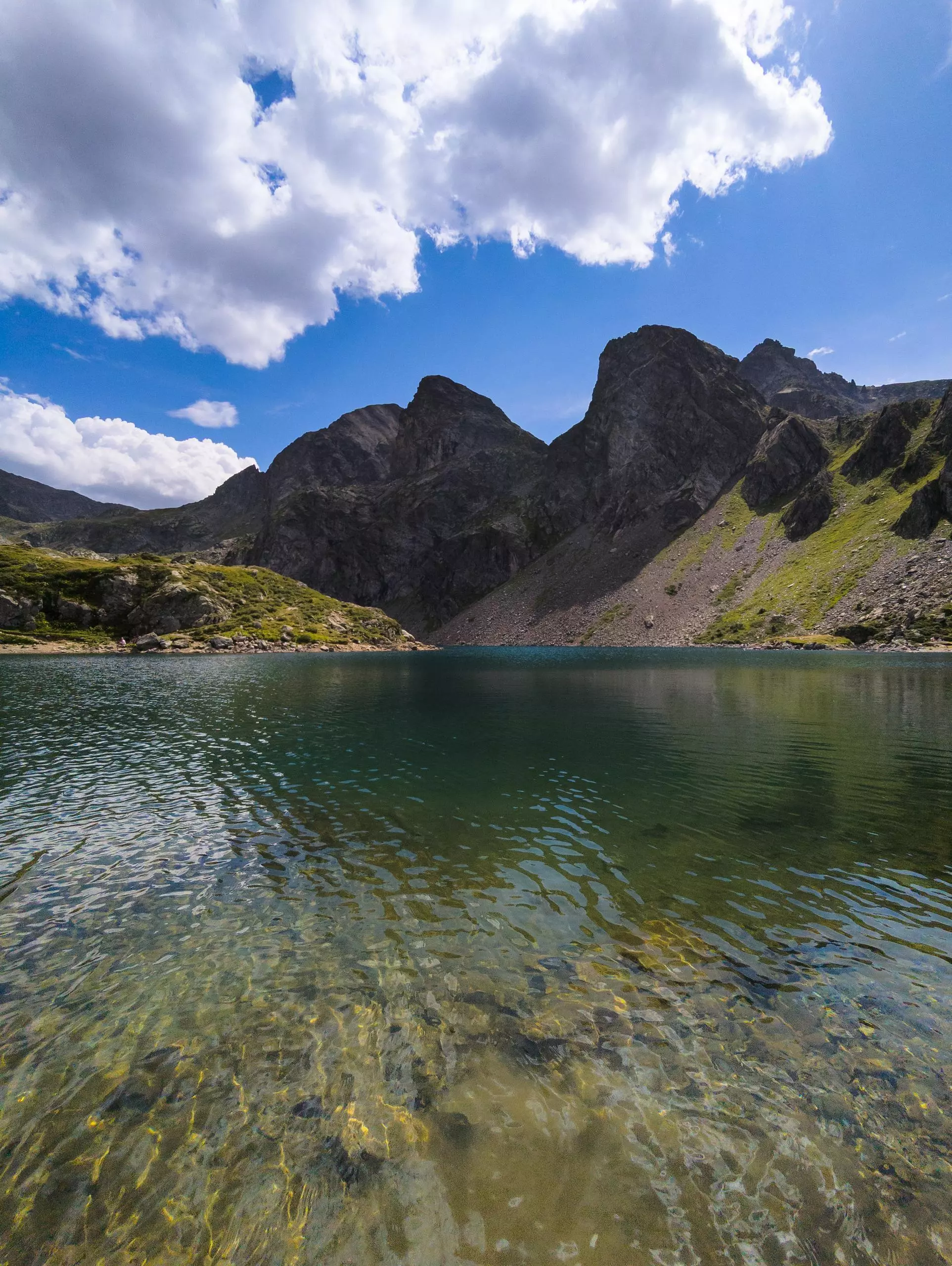
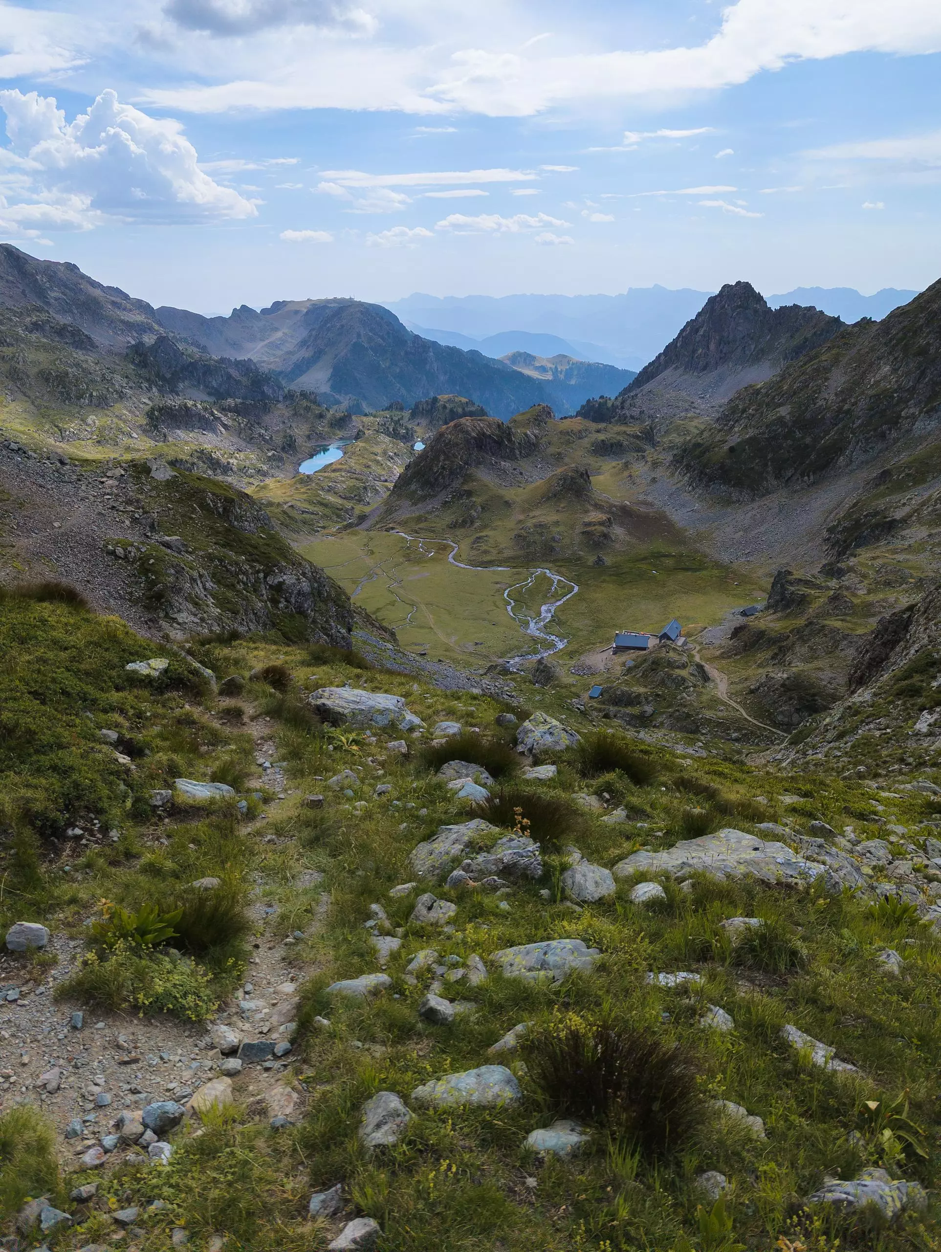
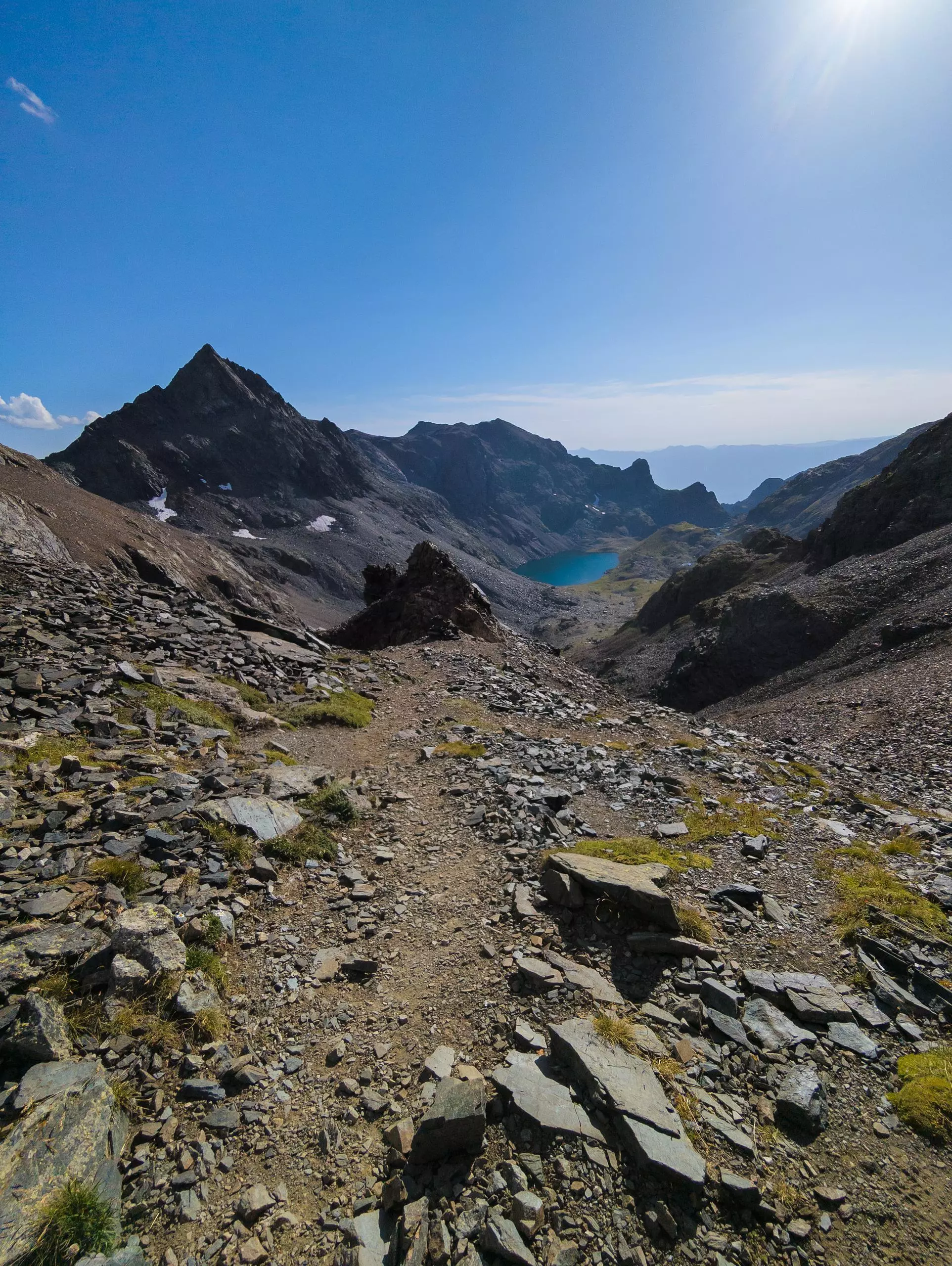
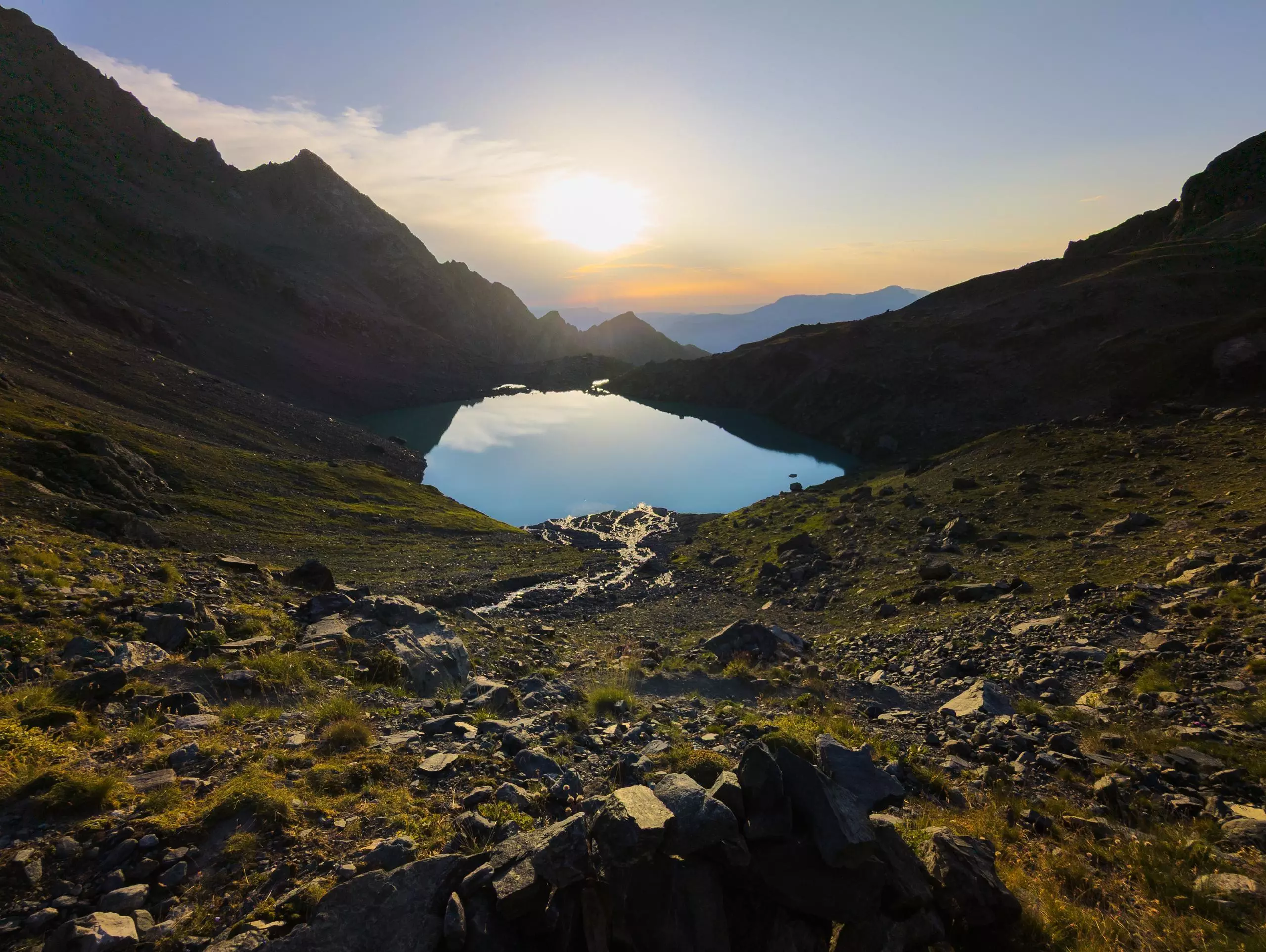
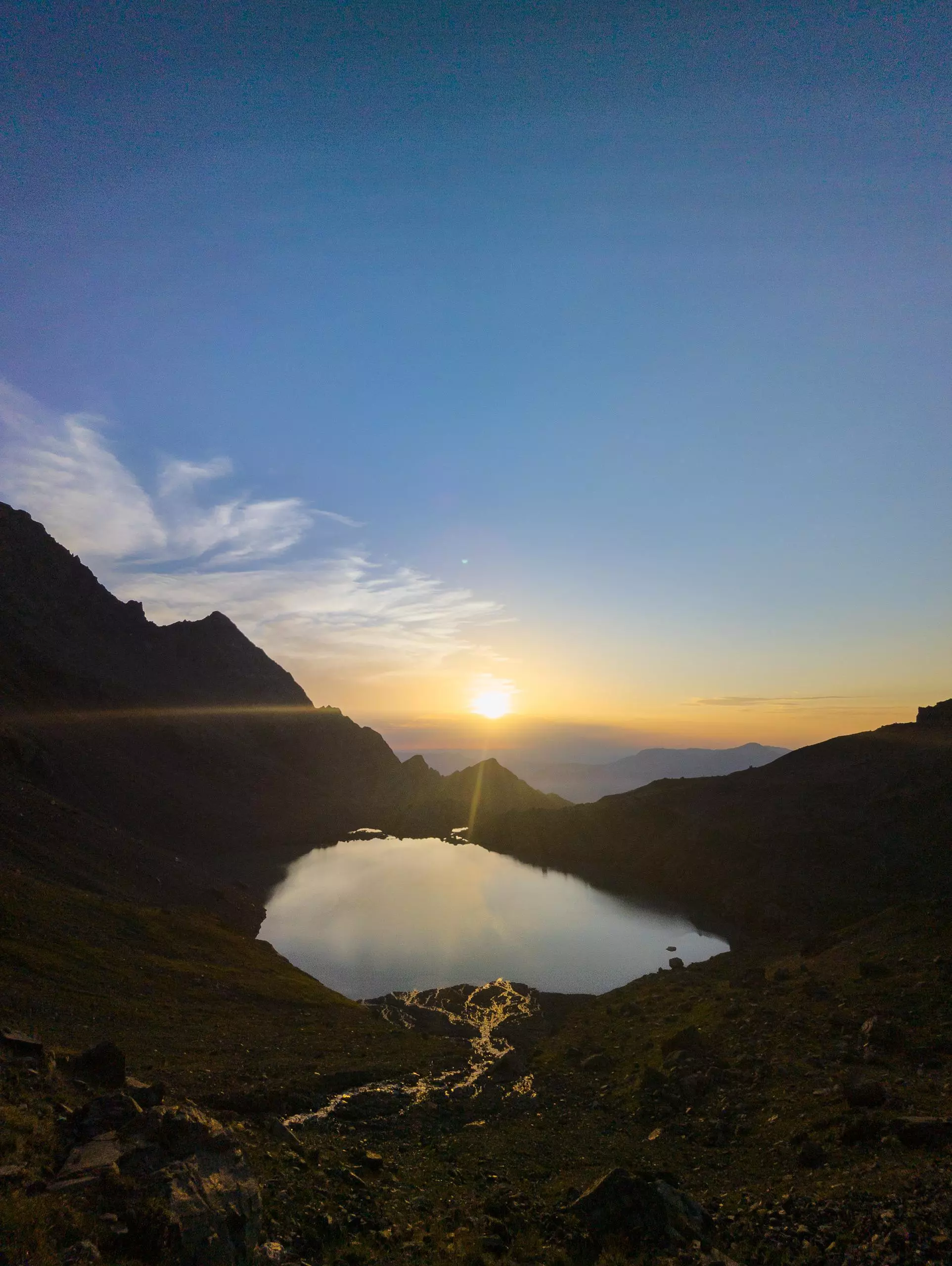
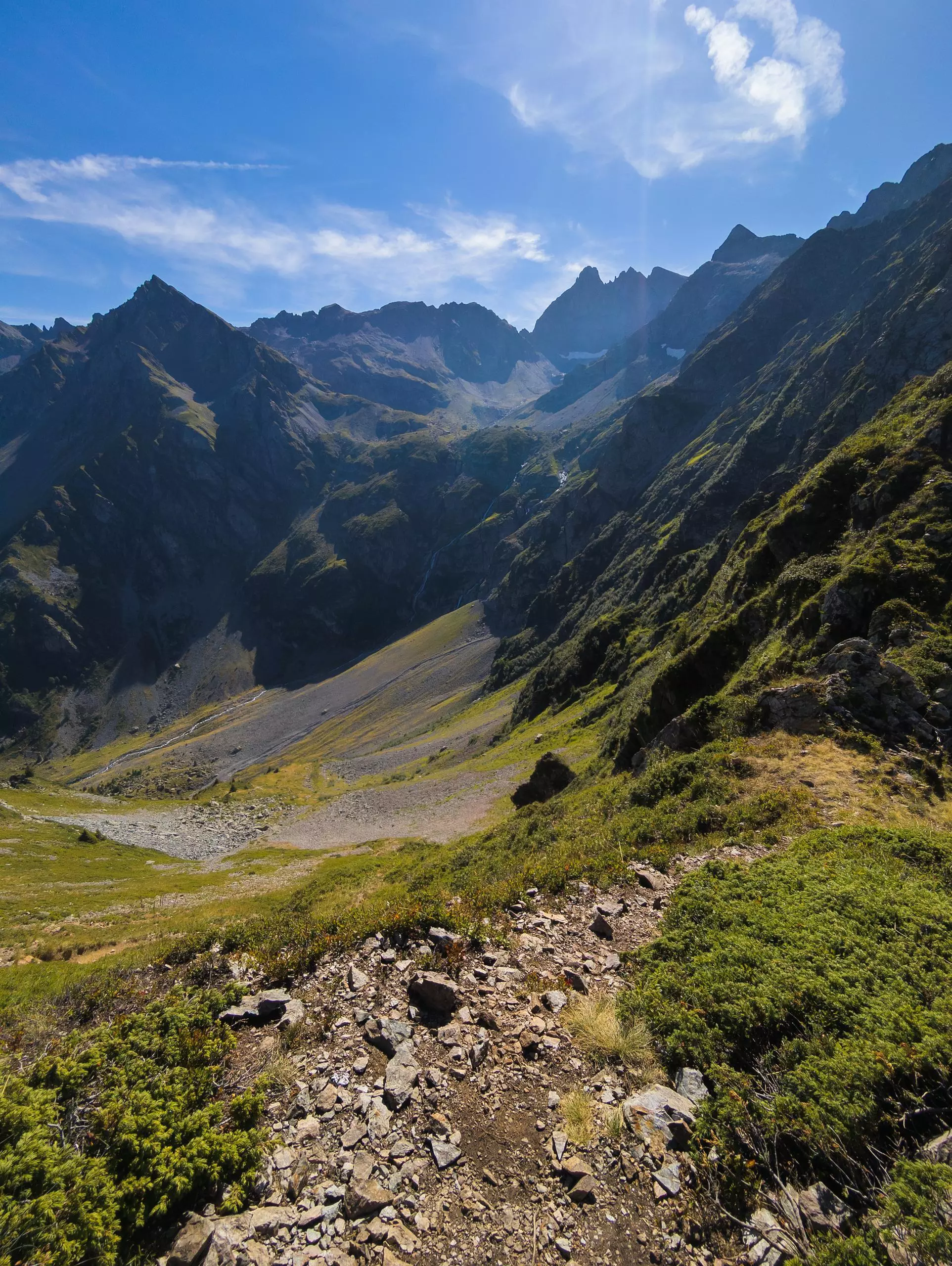
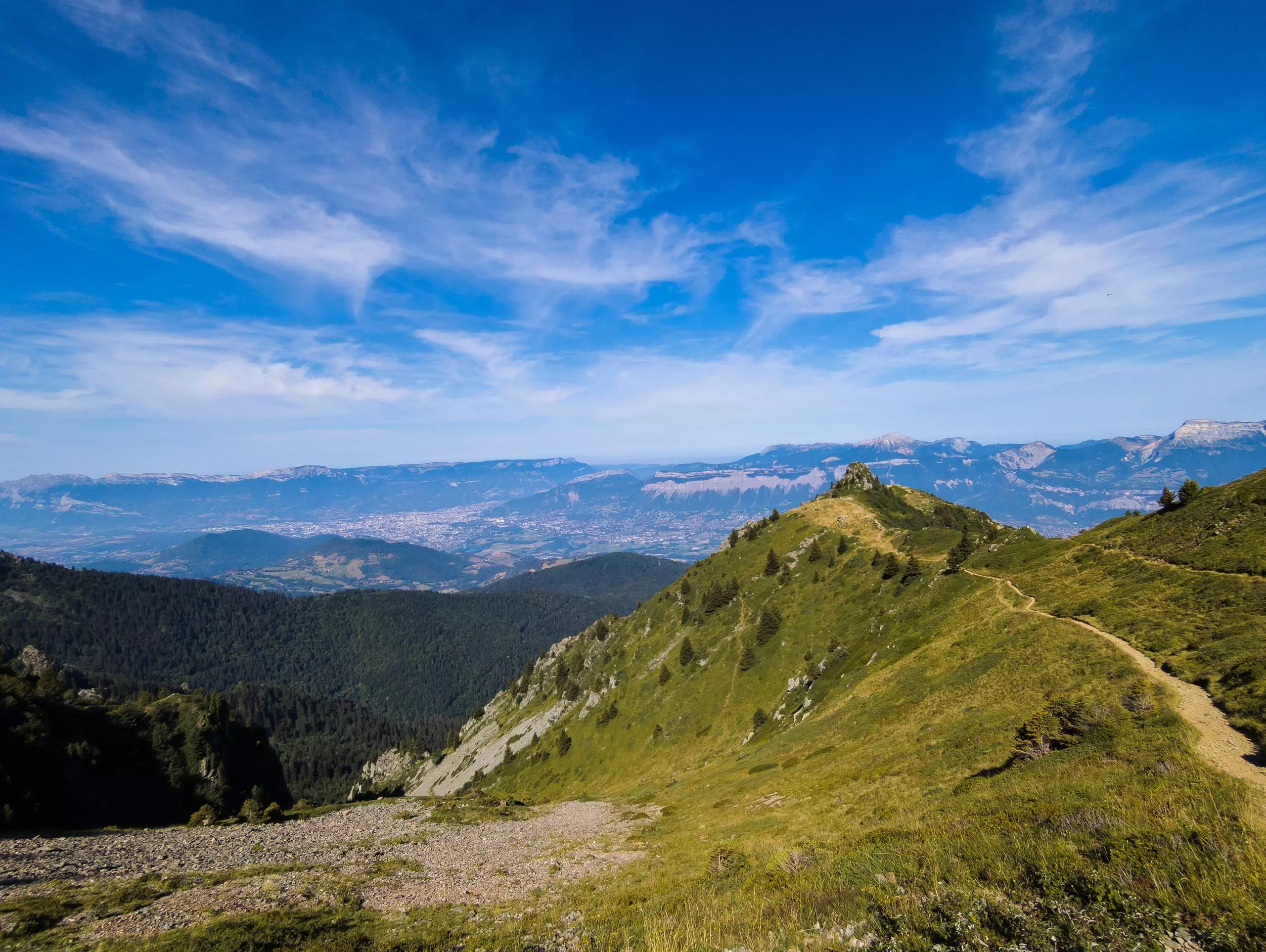
The route starts from the Pré Raymond parking lot, above Lac de Freydière. The route is signposted all the way, the difficulty being the distance and the gradient. Follow the signs to Lac du Crozet. Then continue towards the refuge de la Pra (water and food available). Climb up to the right to reach the first Lac du Petit Doménon, then follow the second lake. The path to the Col de Freydane is marked on the ground or on stones. The climb is quite long, as the terrain is a little slippery and very stony. Once you've reached the col, follow the path down to Lac Blanc. Follow the signs down to the ruisseau de Vors. Then a direct climb to the Col de la Sitre awaits. Then take the most direct route to the Pré du Mollard refuge (not signposted this time). Descend to the Pré du Mollard parking lot, then follow the signs back to Lac de Freydière. The hike ends at the first Pré Raymond parking lot.