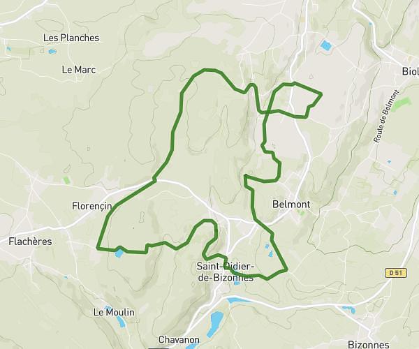
This hiking trail covers 15.191mi starting from Saint-Joseph-de-Rivière, Saint-Laurent-du-Pont, Isère. The hike is a loop trail and returns to the trailhead. This hike is rated as strenuous, plan for about 7h40m to complete it. The route has an elevation gain of 6647ft and an elevation loss of 6594ft.
La Grande Sure depuis le Guiers Mort
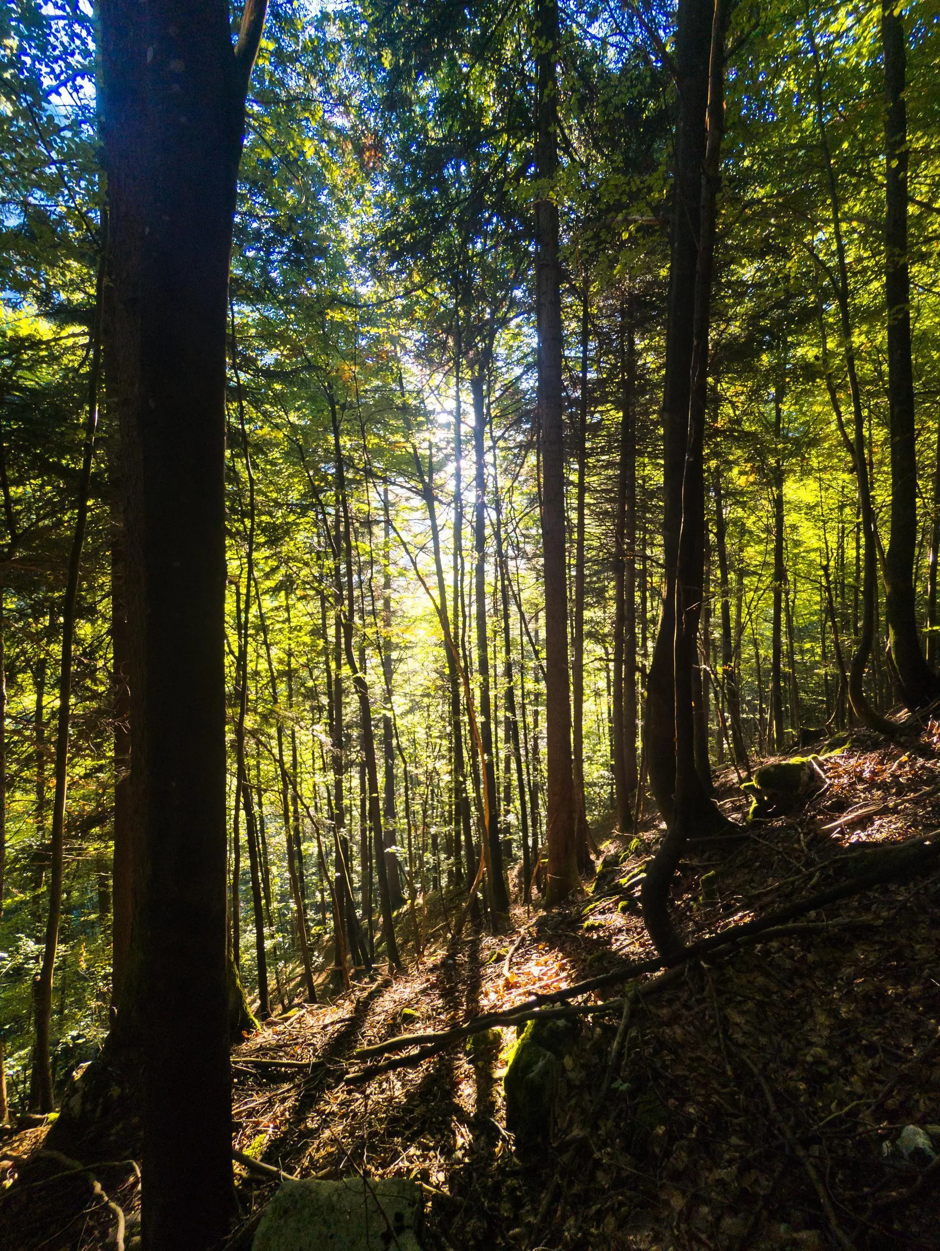
The climb through the woods at sunrise
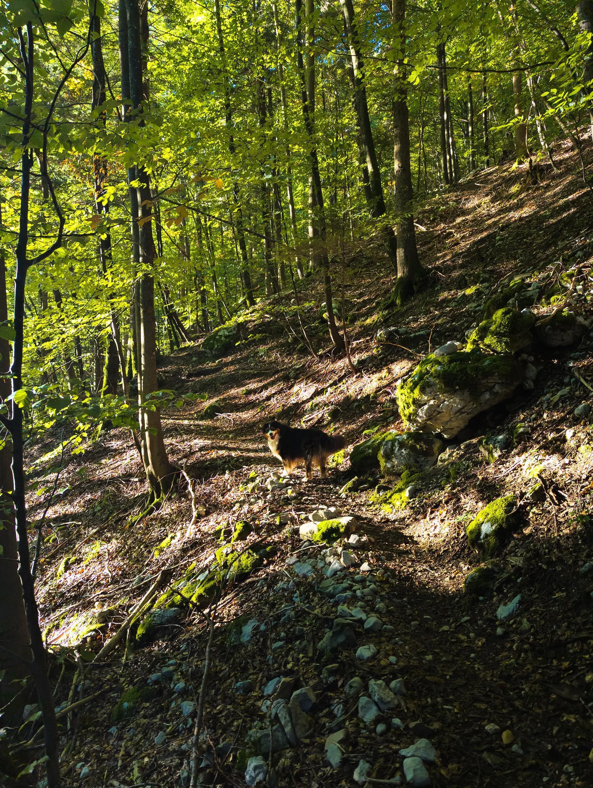
The start of the climb through the woods
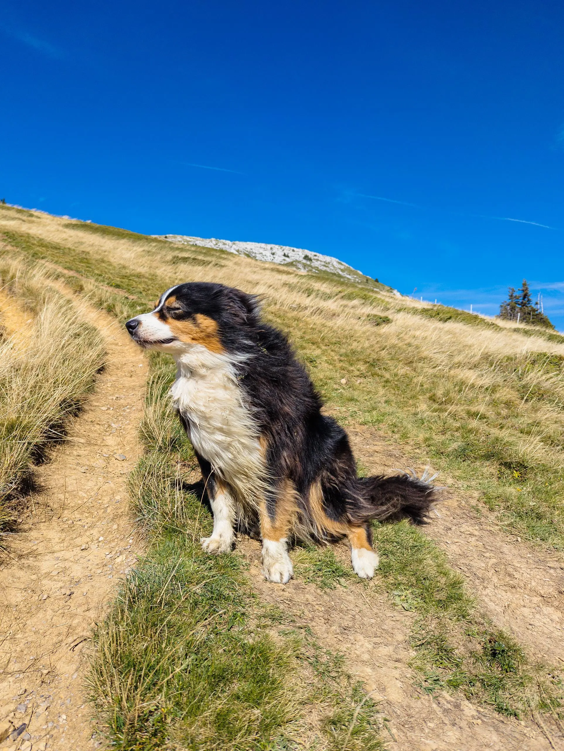
Strong wind on the ascent of Grande Sure
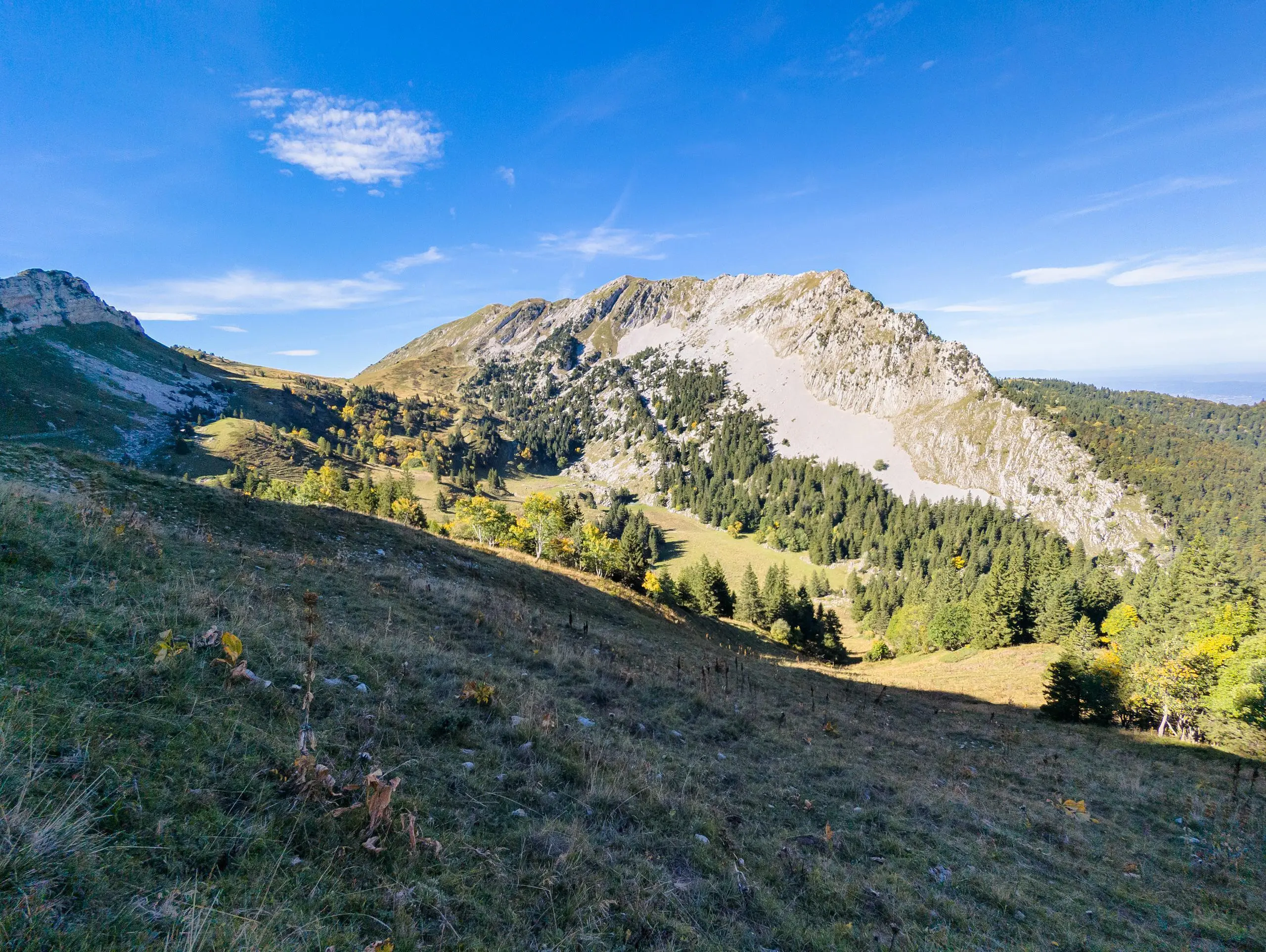
View of Grande Sure from Col de la Petite Vache
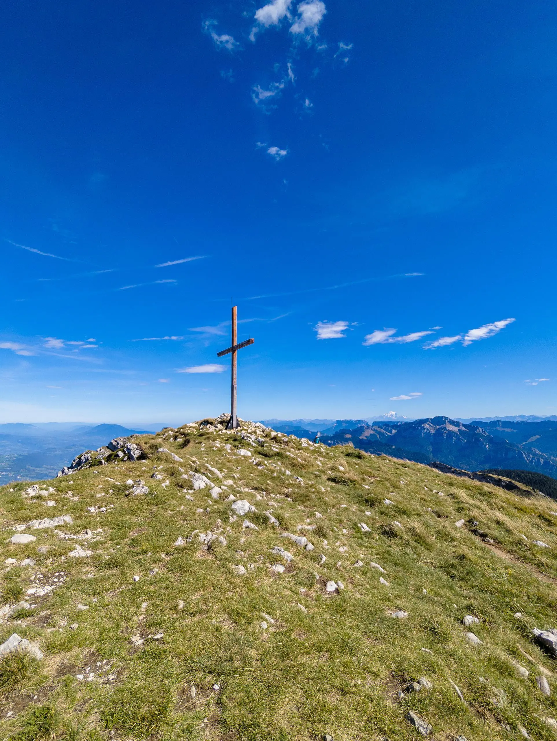
The summit of Grande Sure
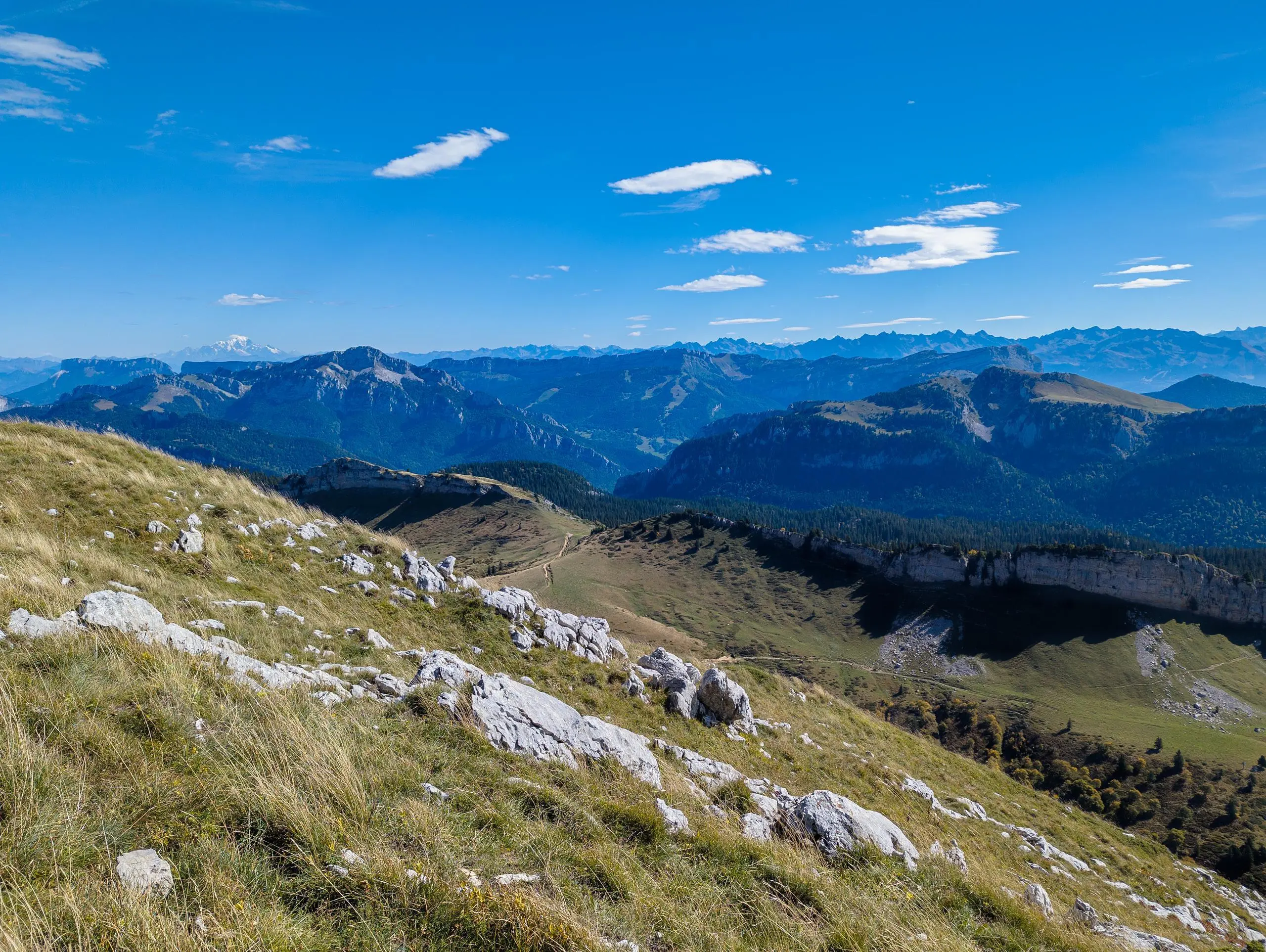
View of Grand Som and Mont-Blanc from the summit
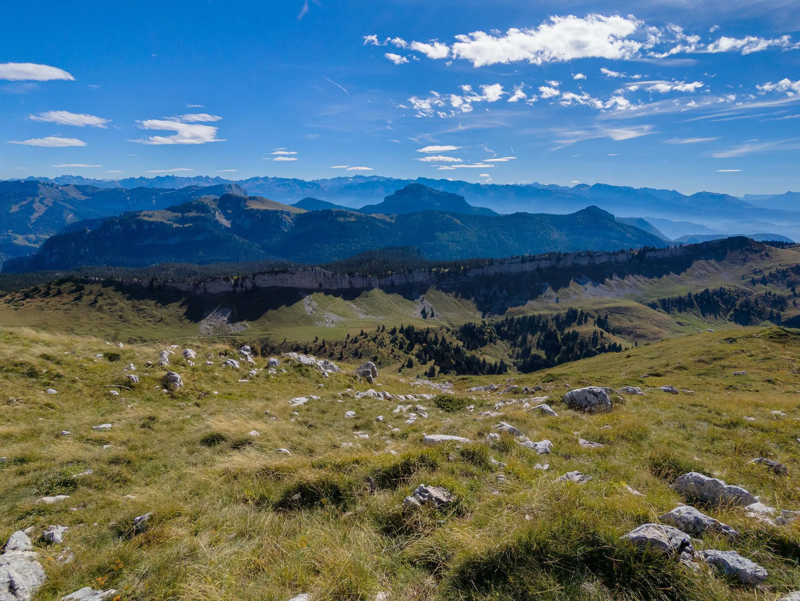
View of Chamechaude and Belledonne from the summit
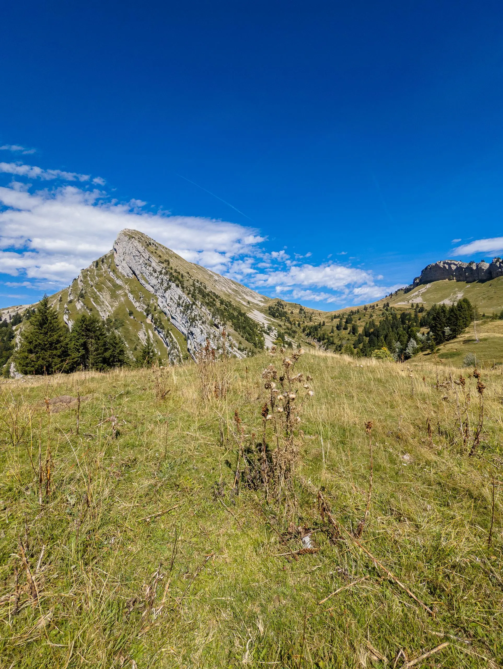
La Grande Sure from below
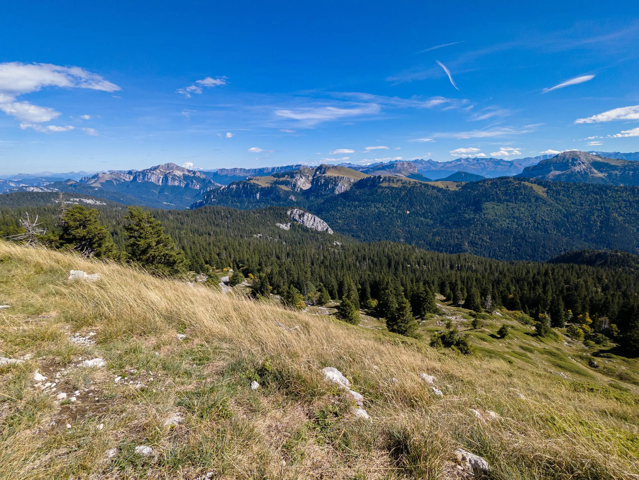
The Chartreuse and Mont-Blanc from the Mollard de la Chaleur
Route details
2.14mph
Speed
3670 kcal
Calories burned
16.5%
Avg grade
Loop trail
Route type
1886ft
Min altitude
6312ft
Max altitude
Steep climb
Route profile
6647ft
Elevation gain
6594ft
Elevation loss
1886ft
Min altitude
6312ft
Max altitude
How to get there
Trailhead: D 520b, 38380 Saint-Laurent-du-Pont, France
GPS coordinates of the trailhead: 45.35541, 5.75656 / 45°21'19'' N, 5°45'23'' E