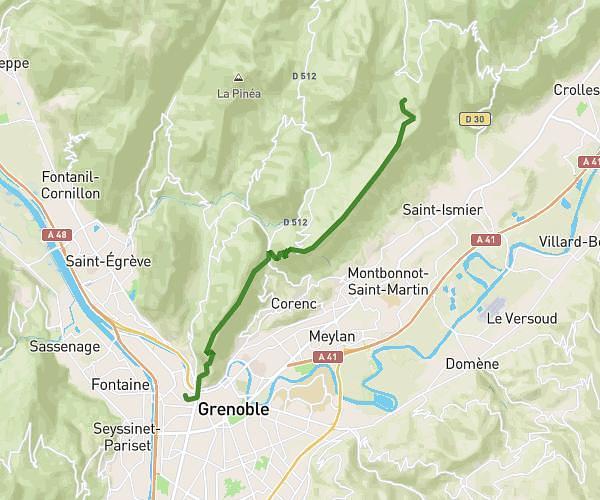
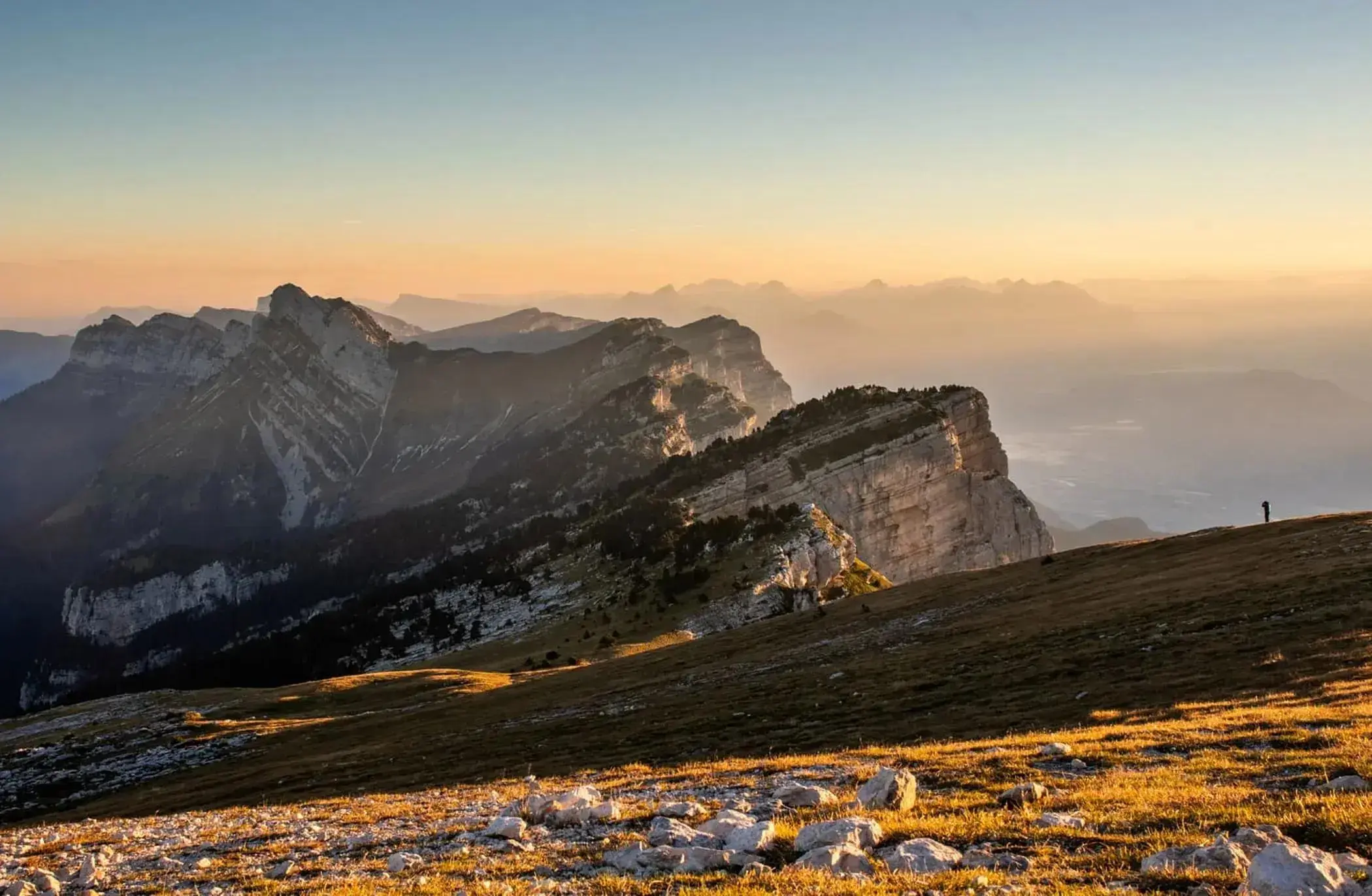
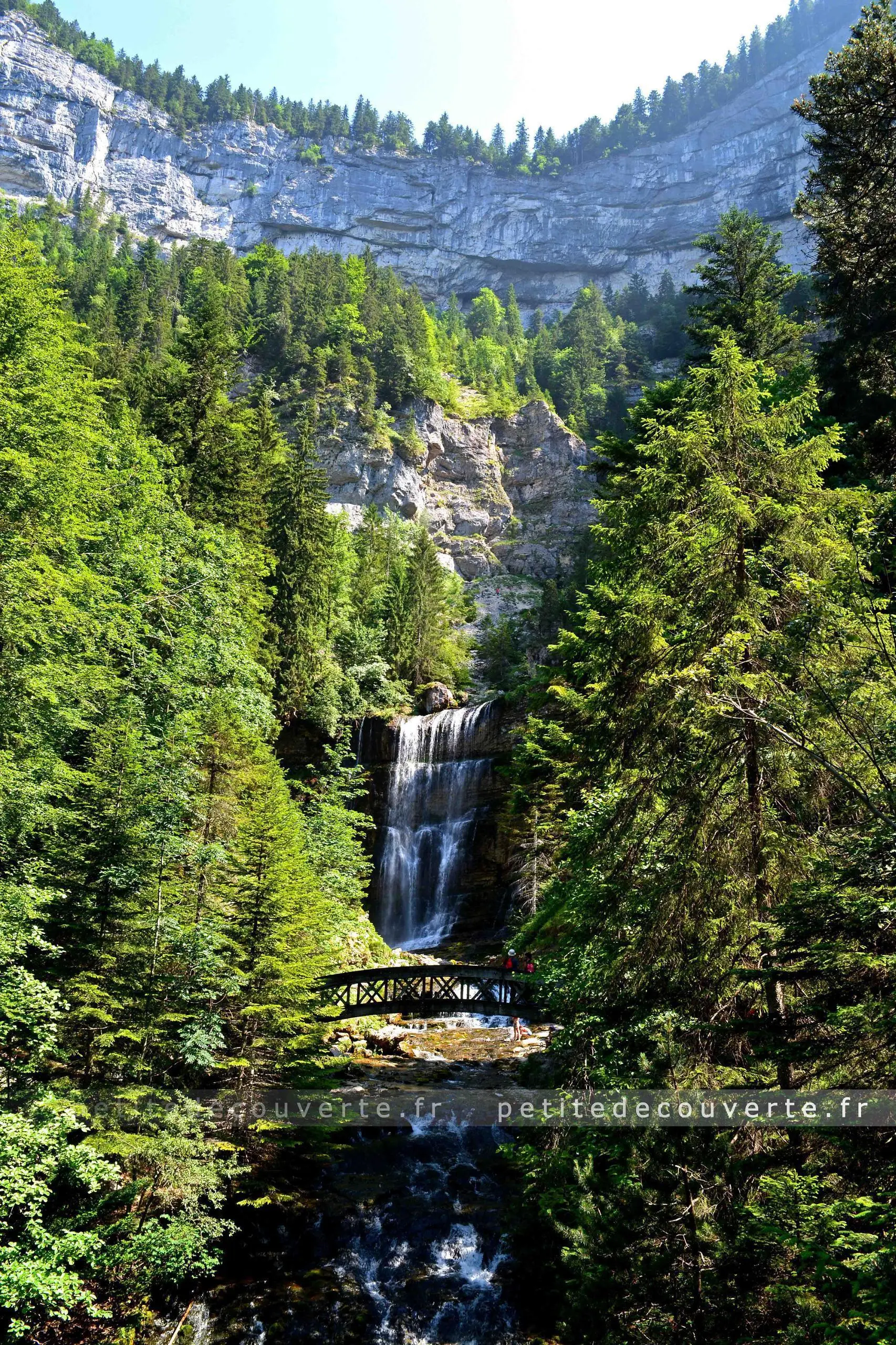
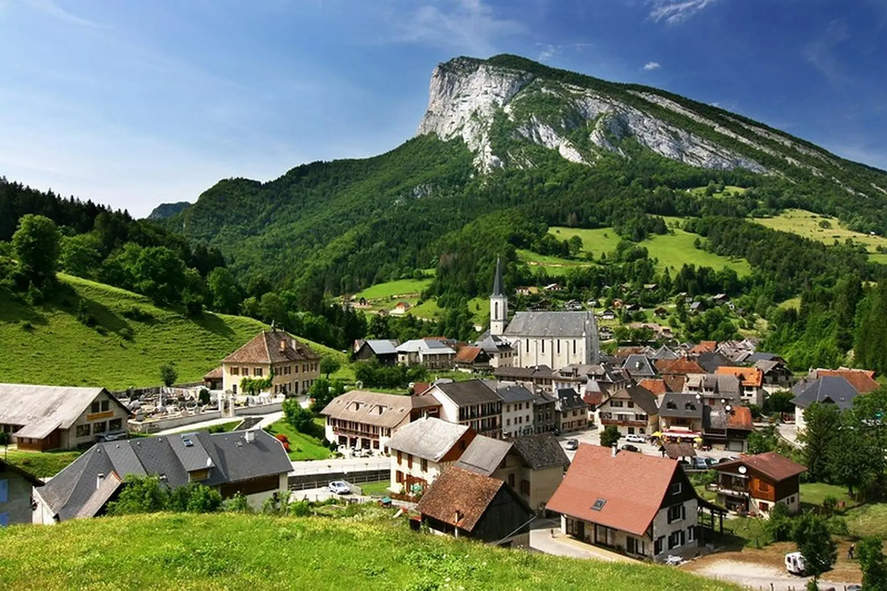
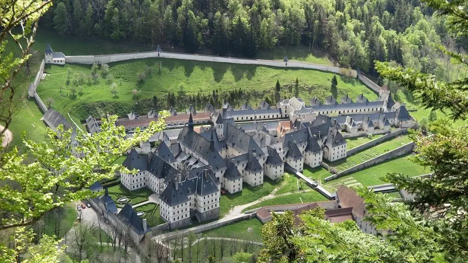
This hiking trail covers 40.514mi starting from Saint-Pierre-de-Chartreuse, Isère. The hike is a loop trail and returns to the trailhead. This hike is rated as strenuous, plan for about 21h44m to complete it. The route has an elevation gain of 12923ft and an elevation loss of 12779ft.
Boucle Chartreuse 2
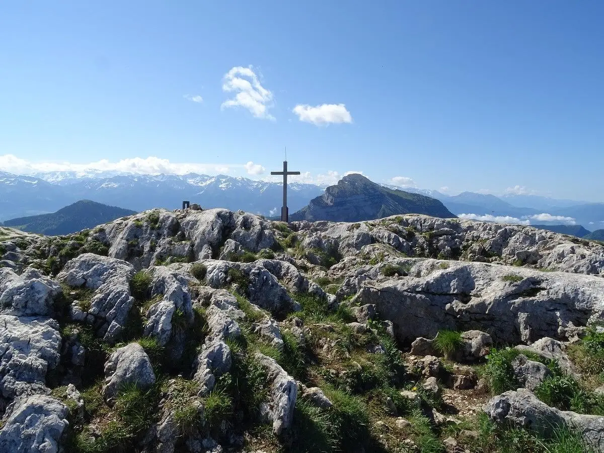
Charmant Som
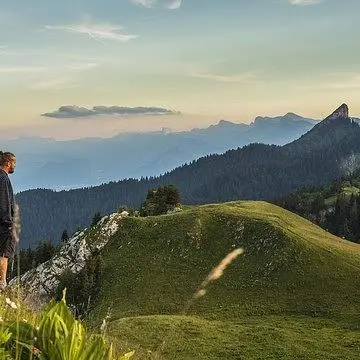
Col de Porte
Route details
1.86mph
Speed
10047 kcal
Calories burned
12.0%
Avg grade
Loop trail
Route type
2182ft
Min altitude
6532ft
Max altitude
Steep climb
Route profile
12923ft
Elevation gain
12779ft
Elevation loss
2182ft
Min altitude
6532ft
Max altitude
How to get there
Trailhead: 189 Chemin De Bernière, 38380 Saint-Pierre-de-Chartreuse, France
GPS coordinates of the trailhead: 45.34111, 5.80945 / 45°20'27'' N, 5°48'34'' E