This hiking trail covers 2.521mi starting from Villard-de-Lans, Isère. The hike is a loop trail and returns to the trailhead. This hike is rated as moderate, plan for about 1h20m to complete it. The route has an elevation gain of 636ft and an elevation loss of 633ft.
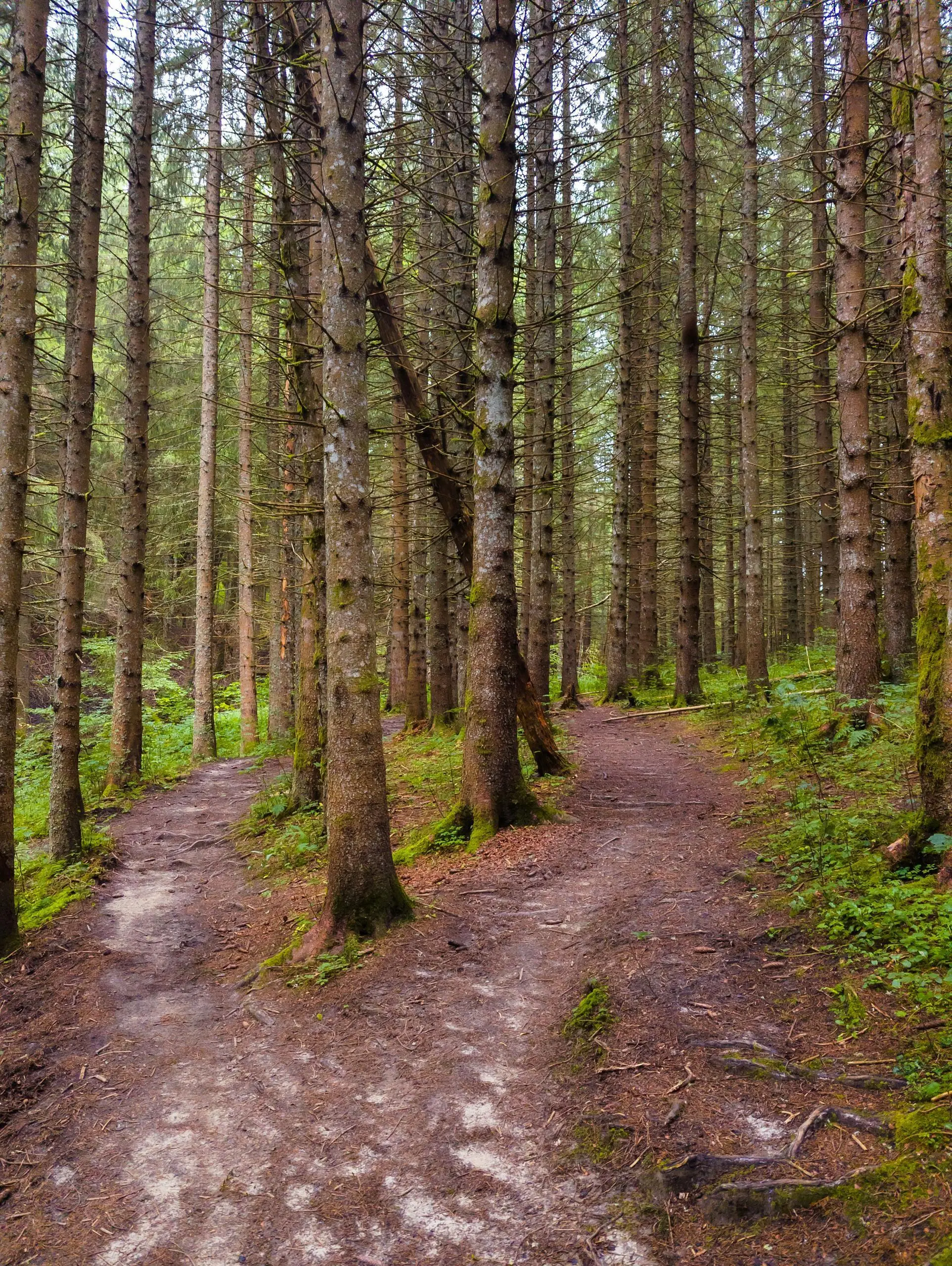
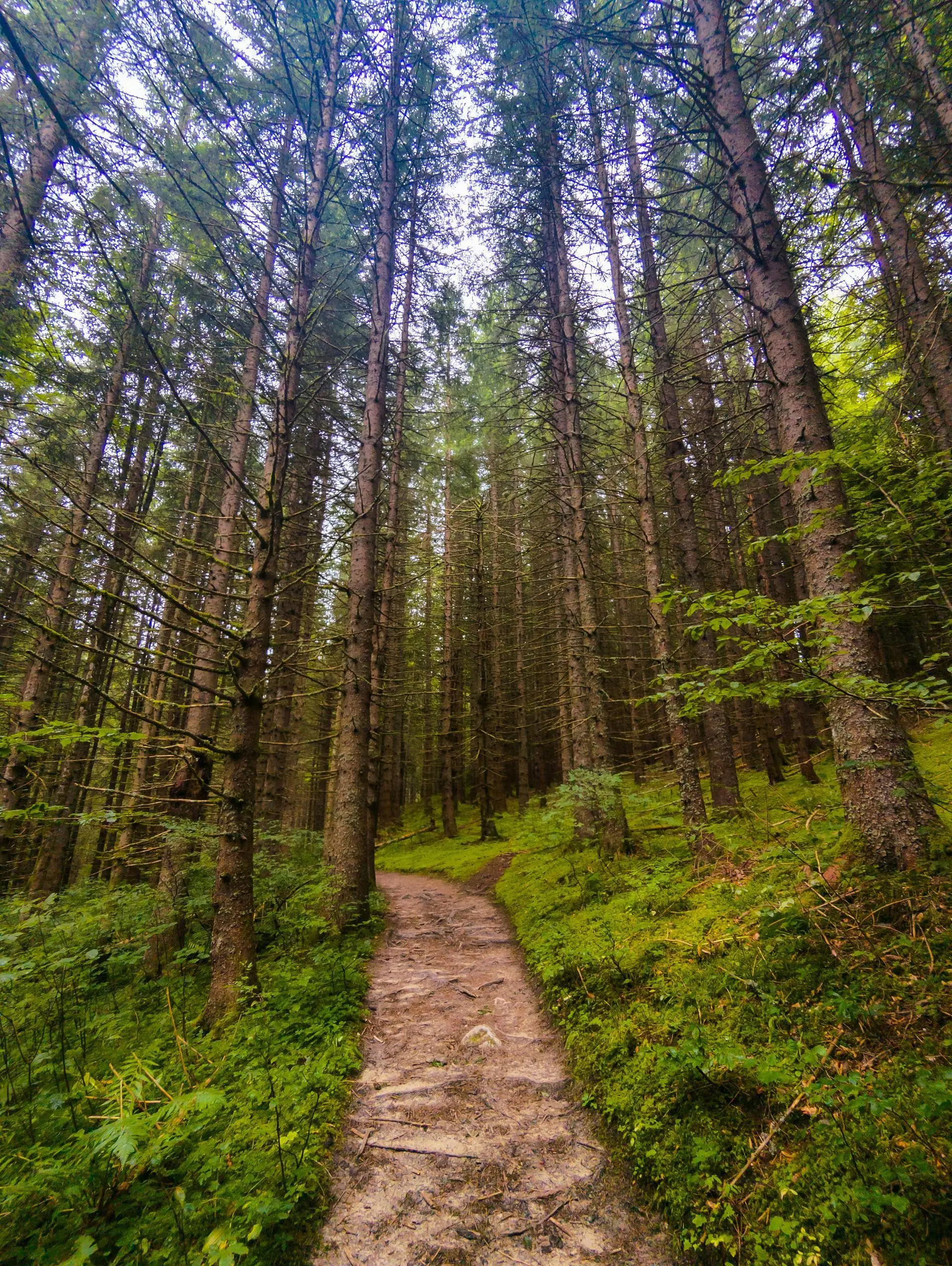
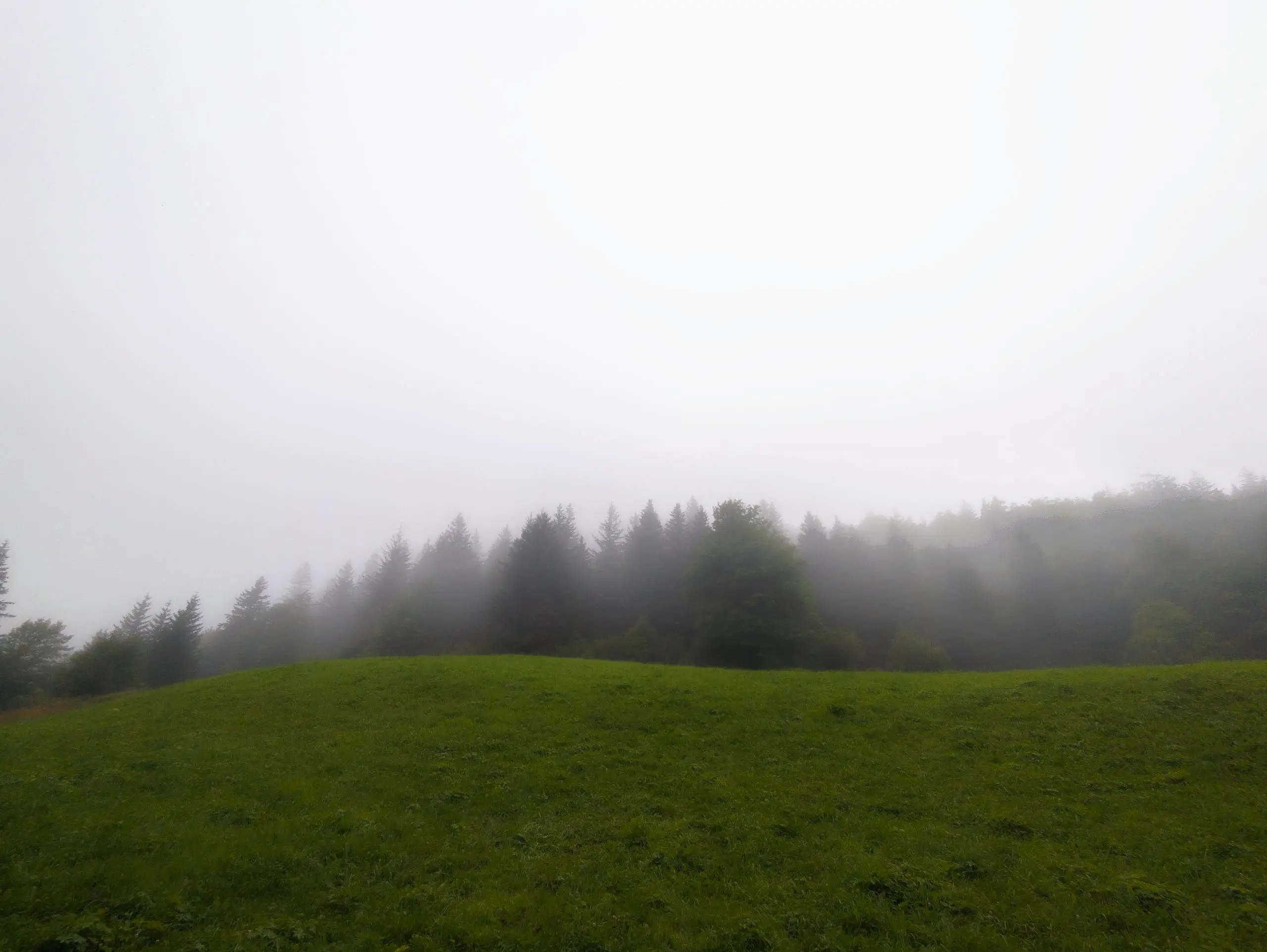
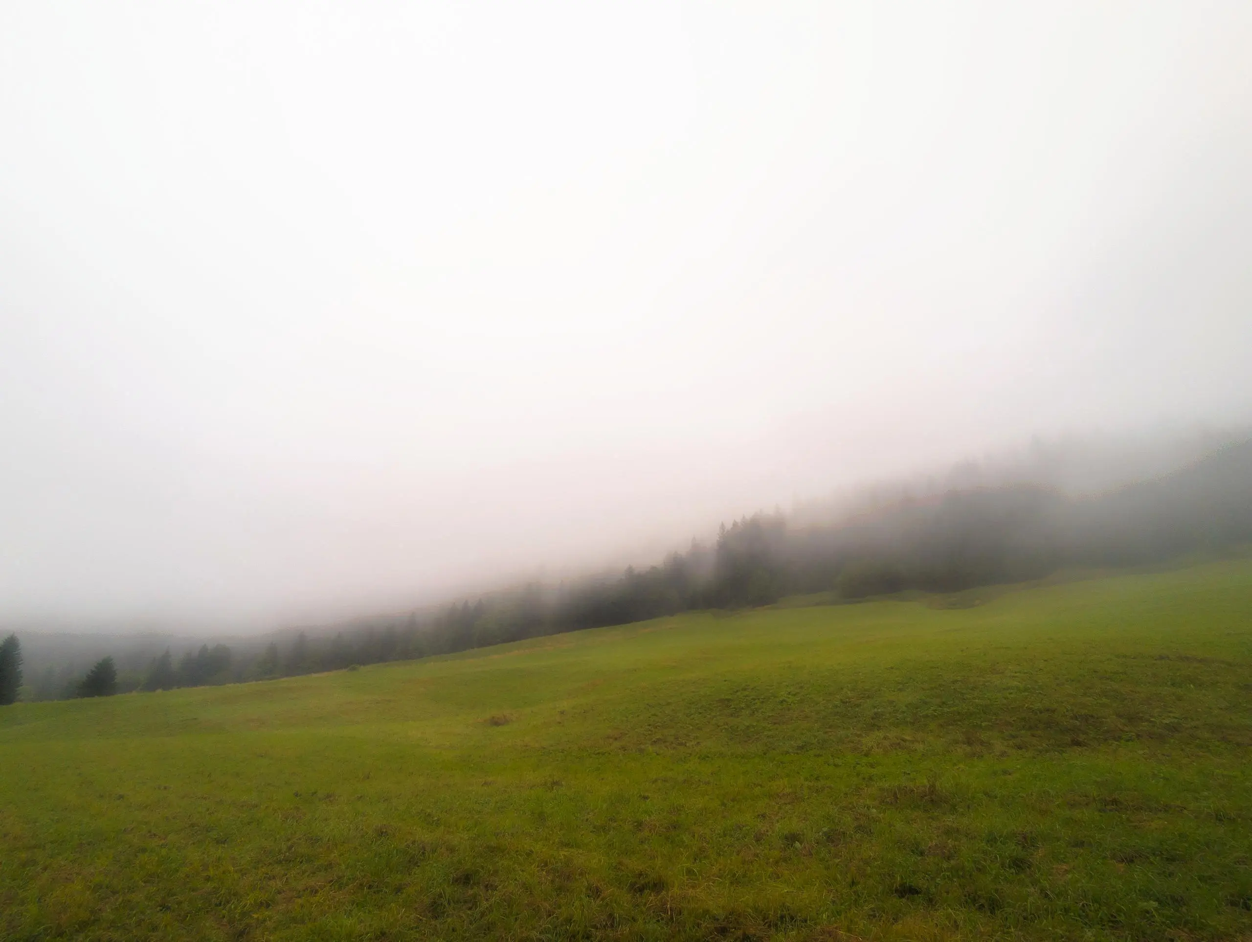
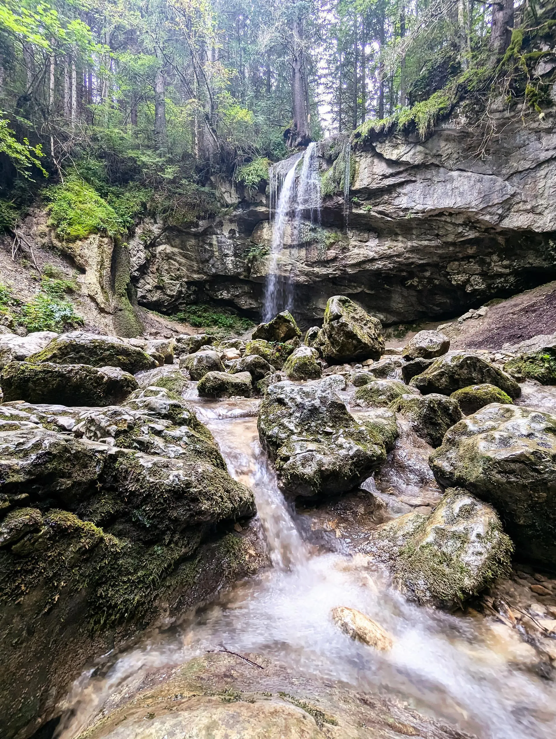
Vercors : Cascade de la Fauge
Route details
1.89mph
Speed
605 kcal
Calories burned
9.5%
Avg grade
Loop trail
Route type
3540ft
Min altitude
4085ft
Max altitude
Steep climb
Route profile
636ft
Elevation gain
633ft
Elevation loss
3540ft
Min altitude
4085ft
Max altitude
How to get there
Trailhead: 286 Chemin De La Fauge, 38250 Villard-de-Lans, France
GPS coordinates of the trailhead: 45.06591, 5.56122 / 45°3'57'' N, 5°33'40'' E