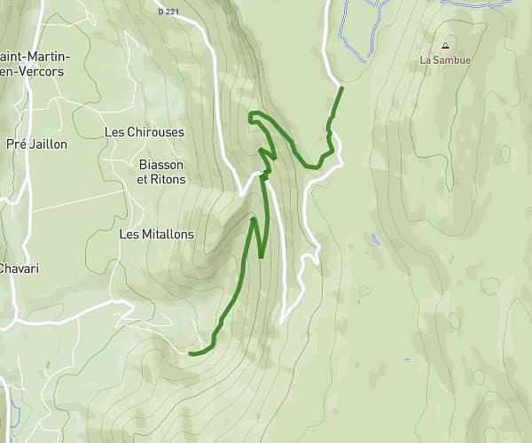
This hiking trail covers 11.94mi starting from Grenoble, Isère. The hike does not return to the trailhead and ends near Chemin De L'émeindras De Dessus, 38700 Le Sappey-en-Chartreuse, France. This hike is rated as strenuous, plan for about 7h6m to complete it. The route has an elevation gain of 8684ft and an elevation loss of 4708ft.
charteuse j1
Route details
1.68mph
Speed
3667 kcal
Calories burned
21.2%
Avg grade
Point to point
Route type
692ft
Min altitude
4688ft
Max altitude
Steep climb
Route profile
8684ft
Elevation gain
4708ft
Elevation loss
692ft
Min altitude
4688ft
Max altitude
How to get there
Trailhead: 8 Rue Émile Gueymard, 38000 Grenoble, France
GPS coordinates of the trailhead: 45.191696, 5.715104 / 45°11'30'' N, 5°42'54'' E