This hiking trail covers 14.296mi starting from Le Haut-Bréda, Isère. The hike is a loop trail and returns to the trailhead. This hike is rated as strenuous, plan for about 9h42m to complete it. The route has an elevation gain of 6578ft and an elevation loss of 6519ft.
Description of the route by the creator
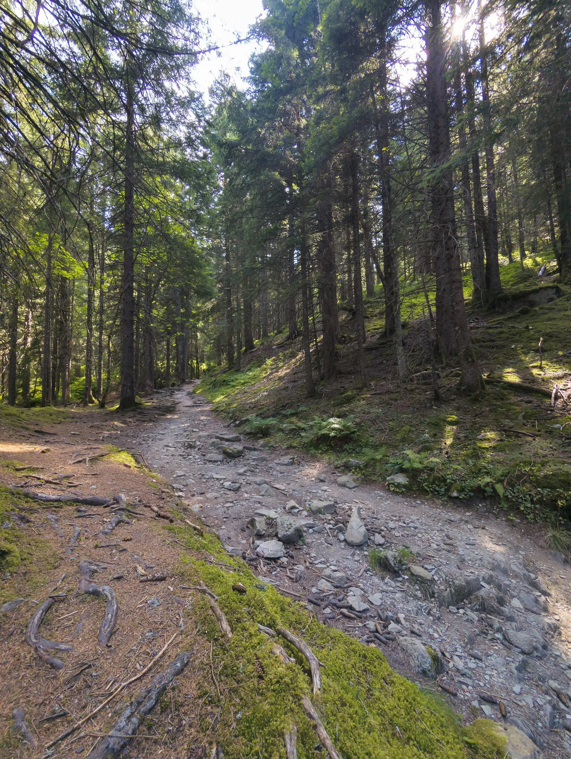
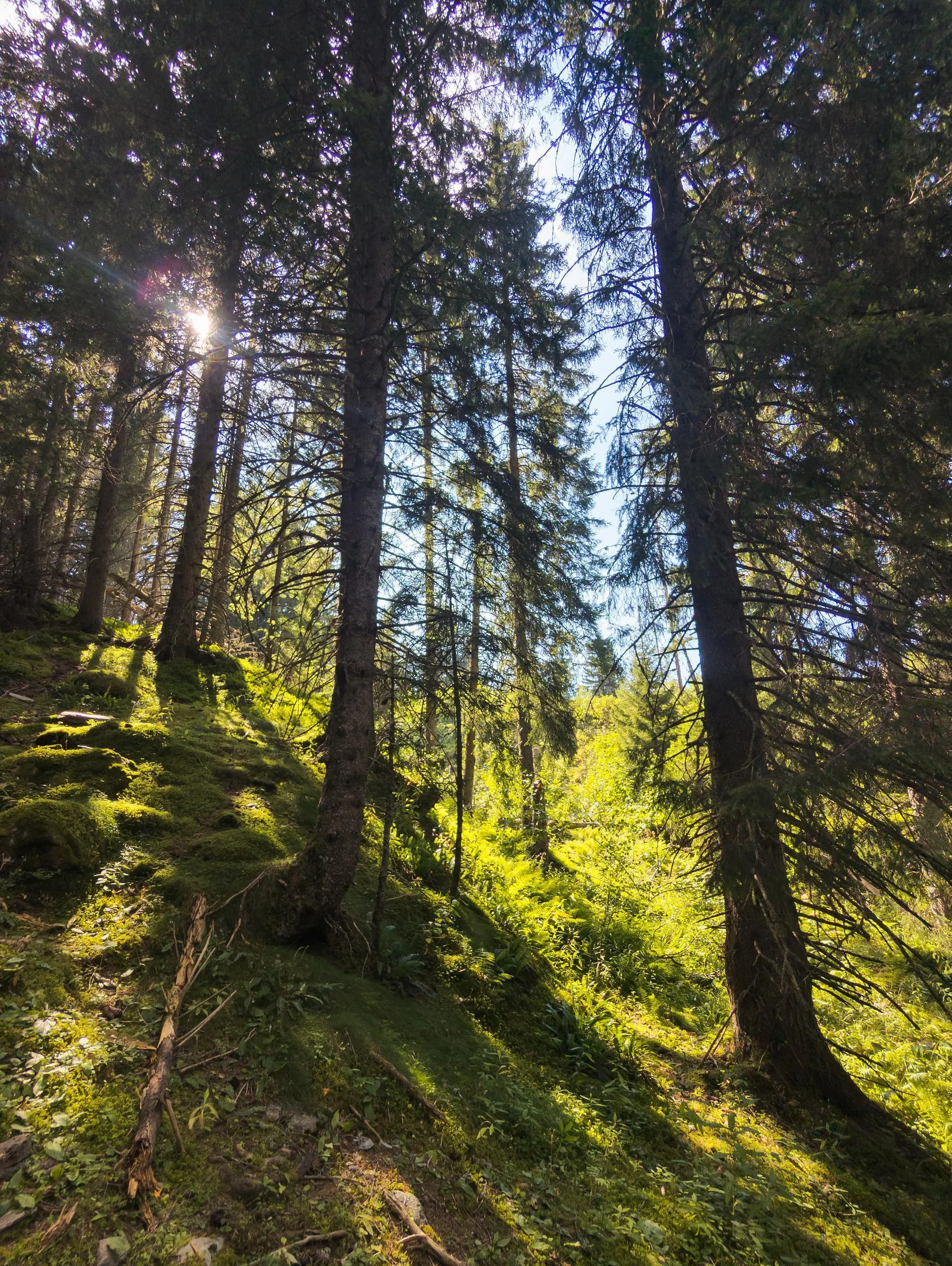
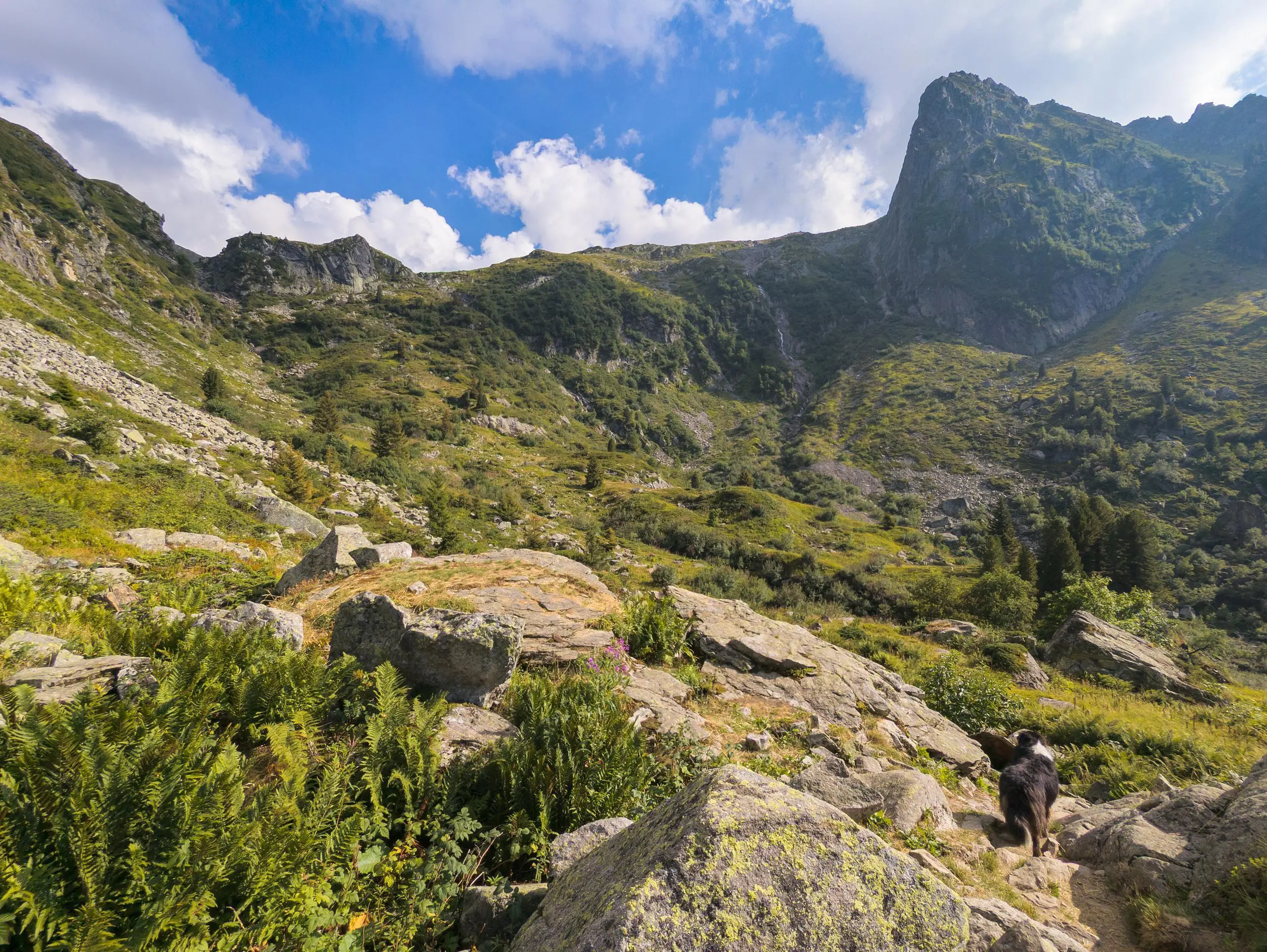
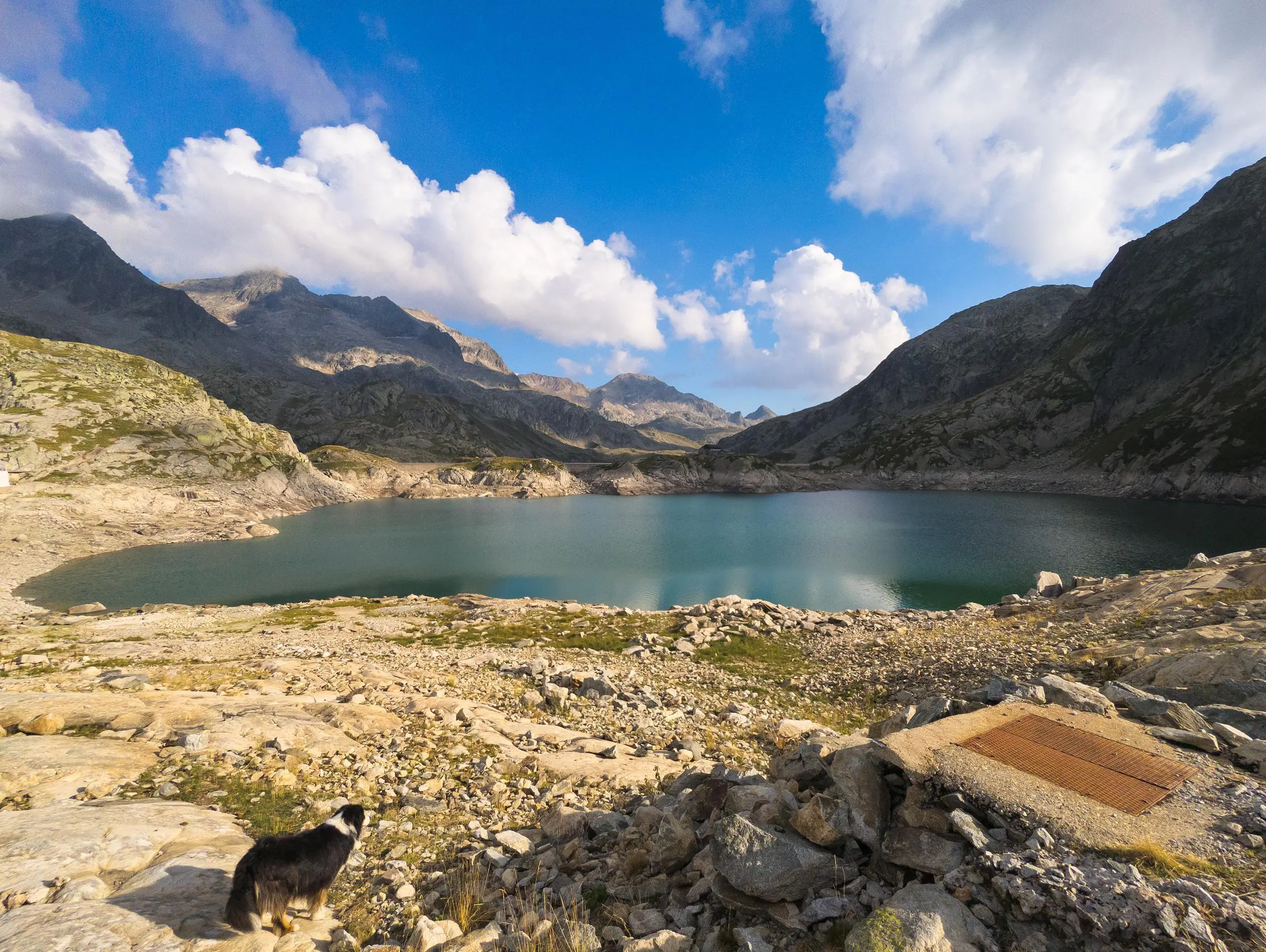
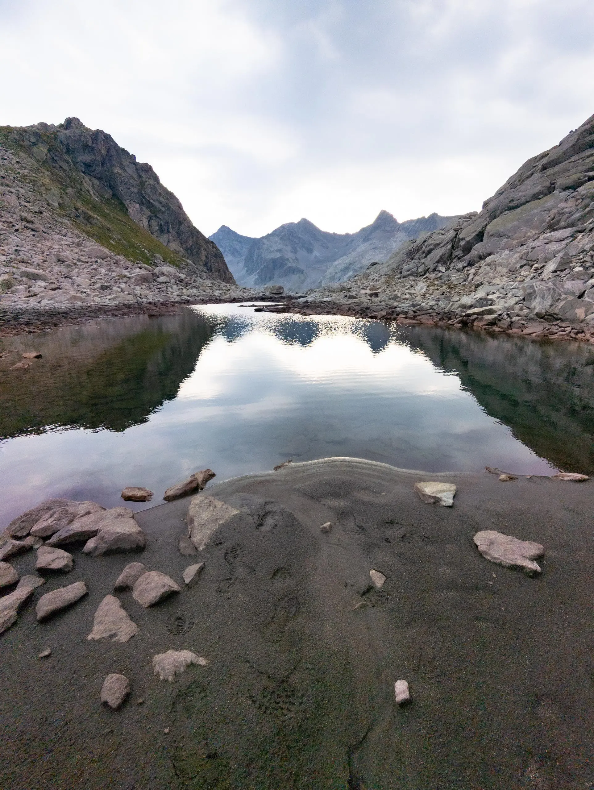
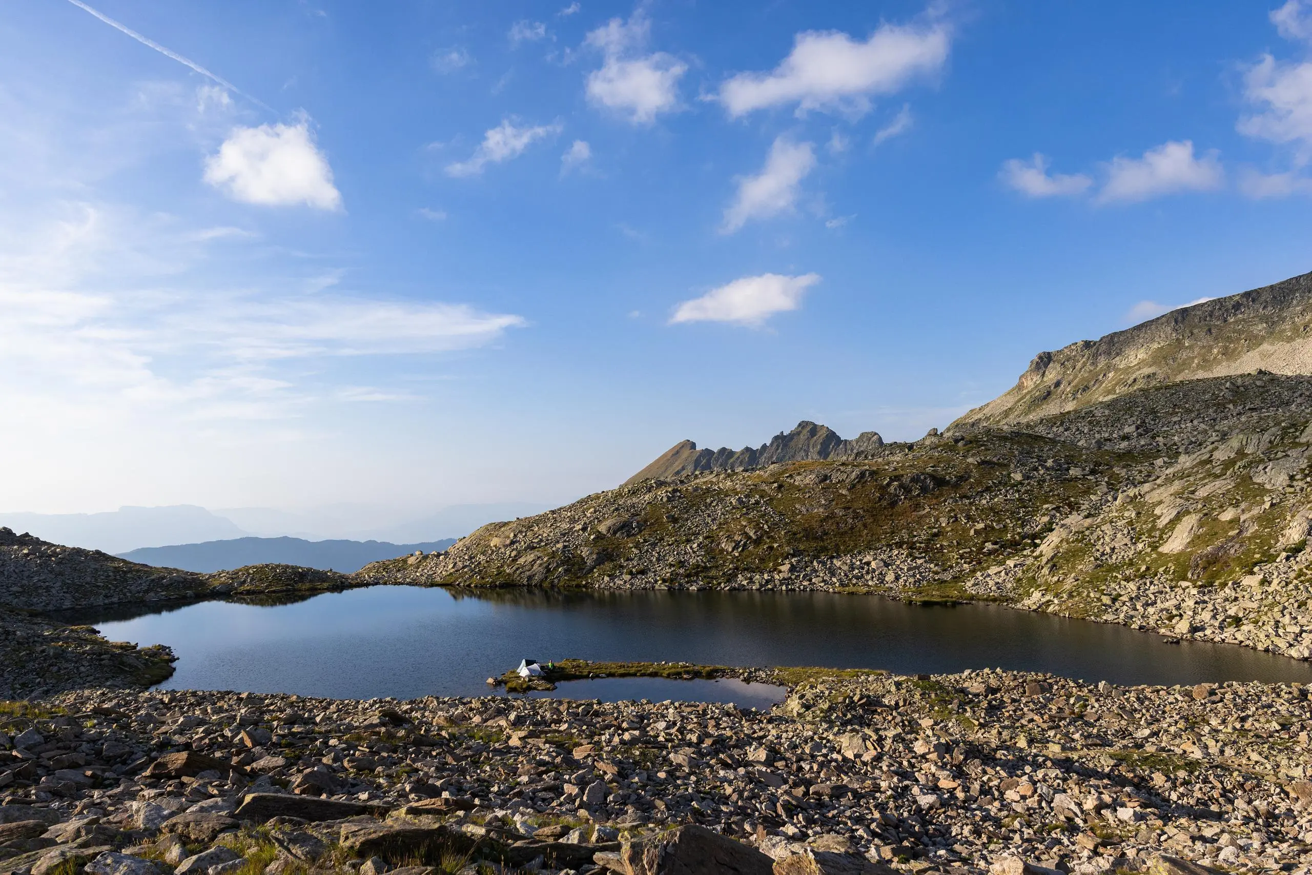
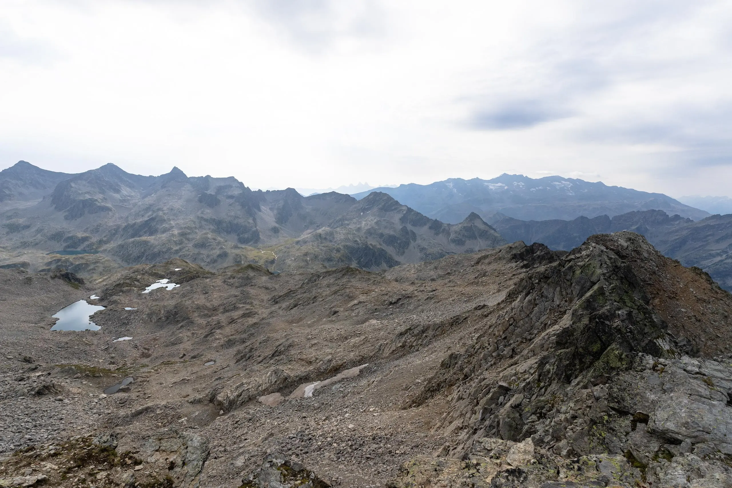
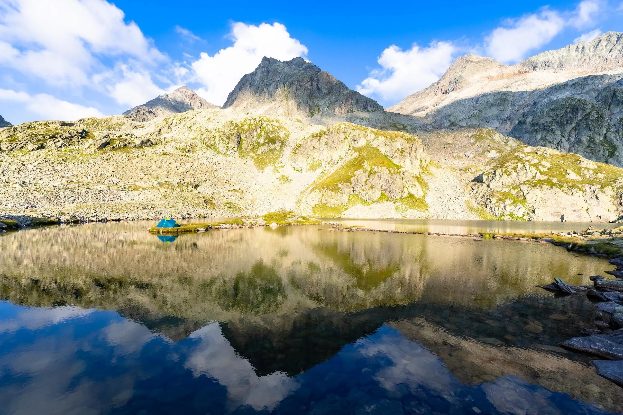
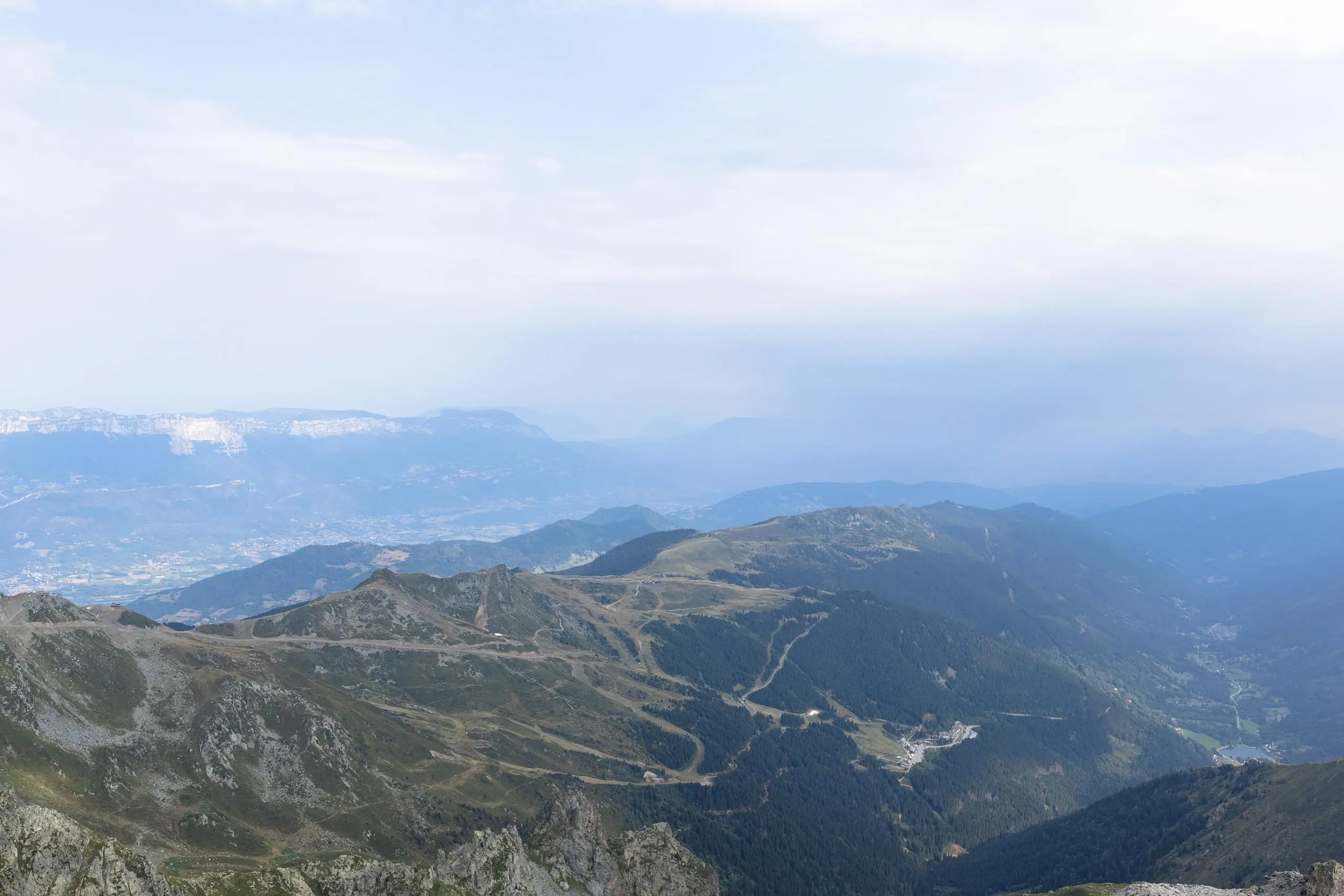
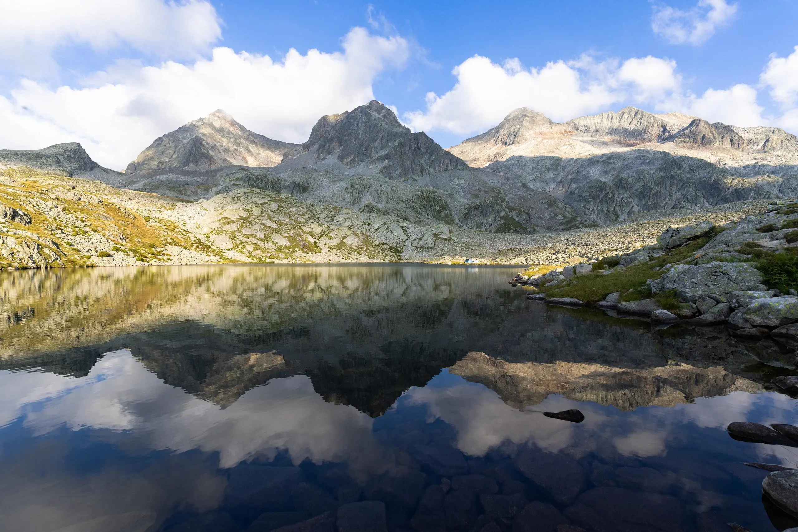
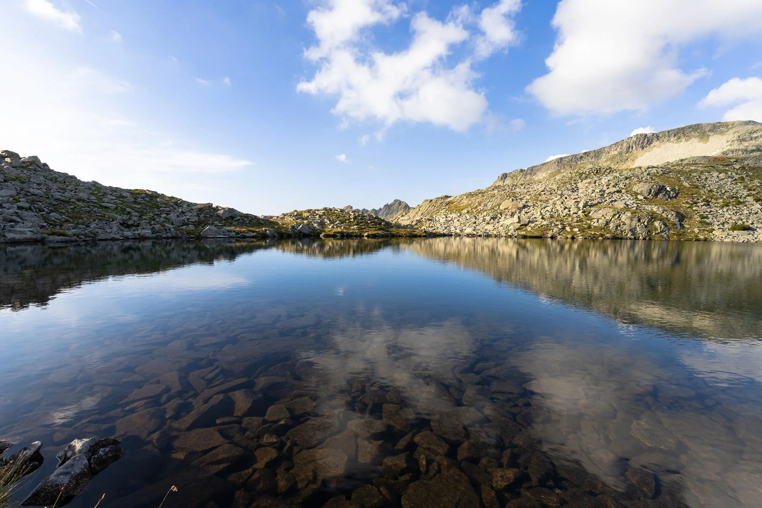
Park in the hikers' parking lot. Follow the signs up to the 7 Laux refuge. The path is well signposted. If you wish, you can walk around the various lakes. However, the gradient is too steep to see all the lakes. In particular, to reach Lac Belle Étoile and then the peak, you'll have to go through a lot of scree. Once you've reached the Belle Étoile peak, take the path down to the village of Le Pleynet and then the parking lot.