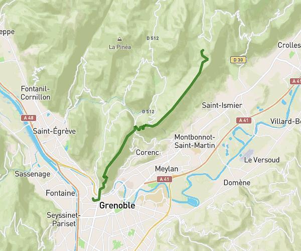
This hiking trail covers 31.16mi starting from Saint-Pierre-de-Chartreuse, Isère. The hike does not return to the trailhead and ends near 84 Route De La Diat, 38380 Saint-Pierre-de-Chartreuse, France. This hike is rated as strenuous, plan for about 16h42m to complete it. The route has an elevation gain of 9993ft and an elevation loss of 9928ft.
Boucle Chartreuse
Route details
1.86mph
Speed
7731 kcal
Calories burned
12.1%
Avg grade
Point to point
Route type
2470ft
Min altitude
6611ft
Max altitude
Steep climb
Route profile
9993ft
Elevation gain
9928ft
Elevation loss
2470ft
Min altitude
6611ft
Max altitude
How to get there
Trailhead: 670 Route Du Désert, 38380 Saint-Pierre-de-Chartreuse, France
GPS coordinates of the trailhead: 45.35102, 5.7897 / 45°21'3'' N, 5°47'22'' E