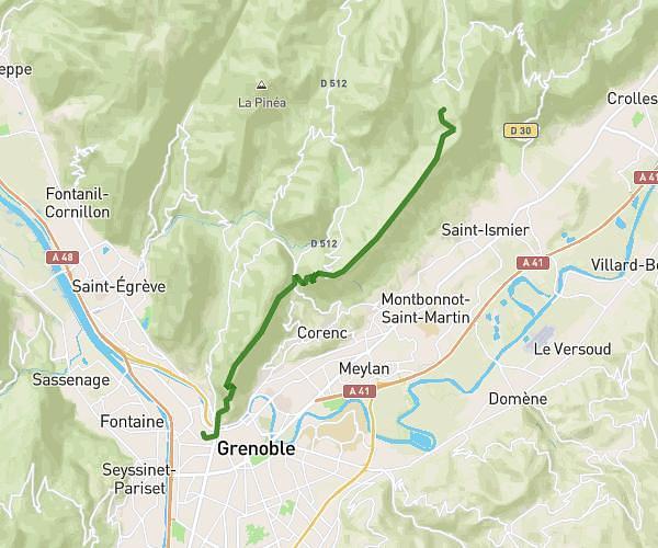
This hiking trail covers 9.424mi starting from Merlas, Isère. The hike does not return to the trailhead and ends near 1 Avenue Léon Et Joanny Tardy, 38500 Voiron, France. This hike is rated as hard, plan for about 3h22m to complete it. The route has an elevation gain of 712ft and an elevation loss of 2060ft.
St sixte- Grand vivier -Gare voiron
Route details
2.8mph
Speed
1448 kcal
Calories burned
5.6%
Avg grade
Point to point
Route type
938ft
Min altitude
2776ft
Max altitude
Route profile
712ft
Elevation gain
2060ft
Elevation loss
938ft
Min altitude
2776ft
Max altitude
How to get there
Trailhead: 49 Passage De Saint-Sixte, 38620 Merlas, France
GPS coordinates of the trailhead: 45.428459, 5.629782 / 45°25'42'' N, 5°37'47'' E