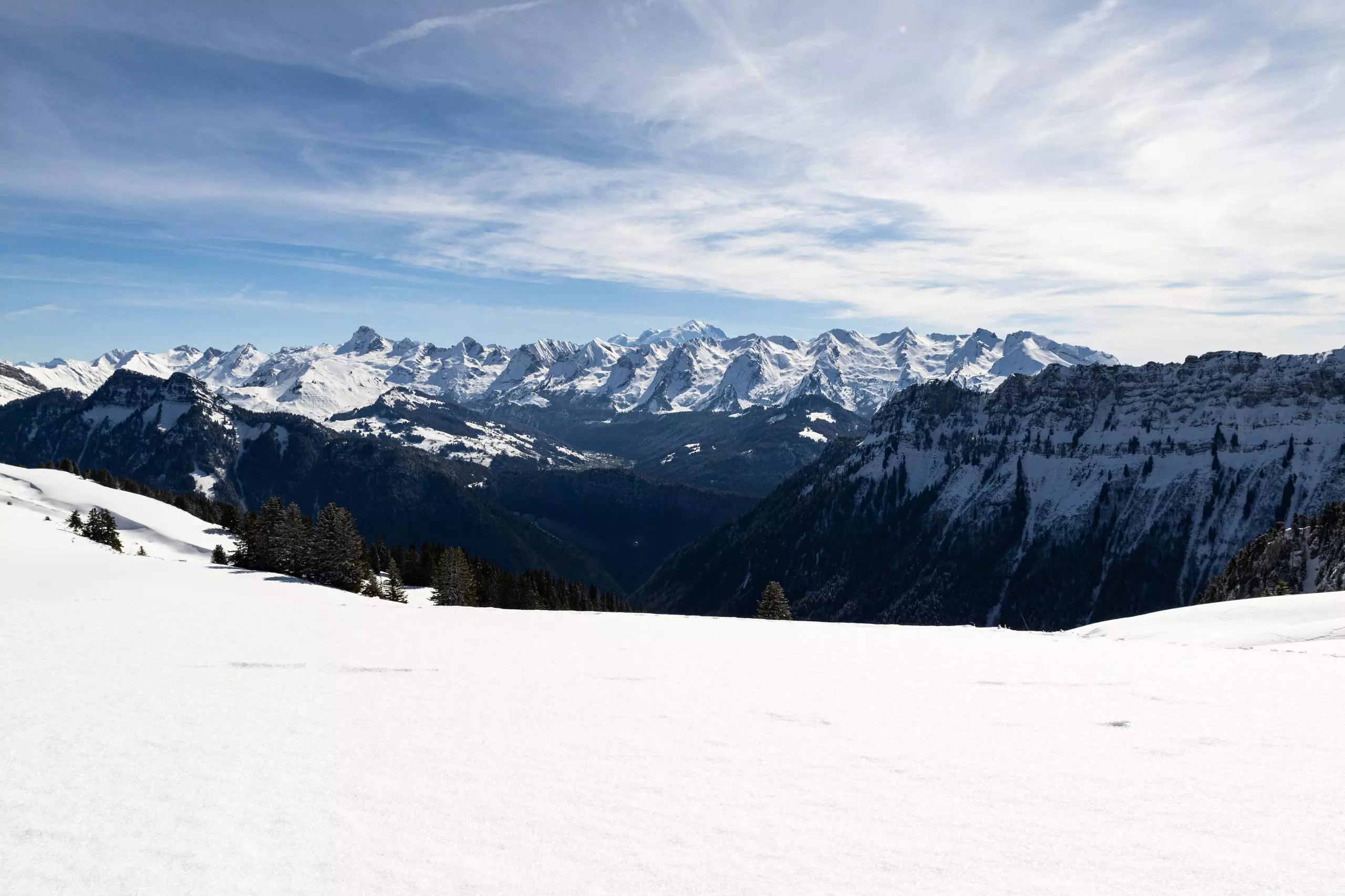
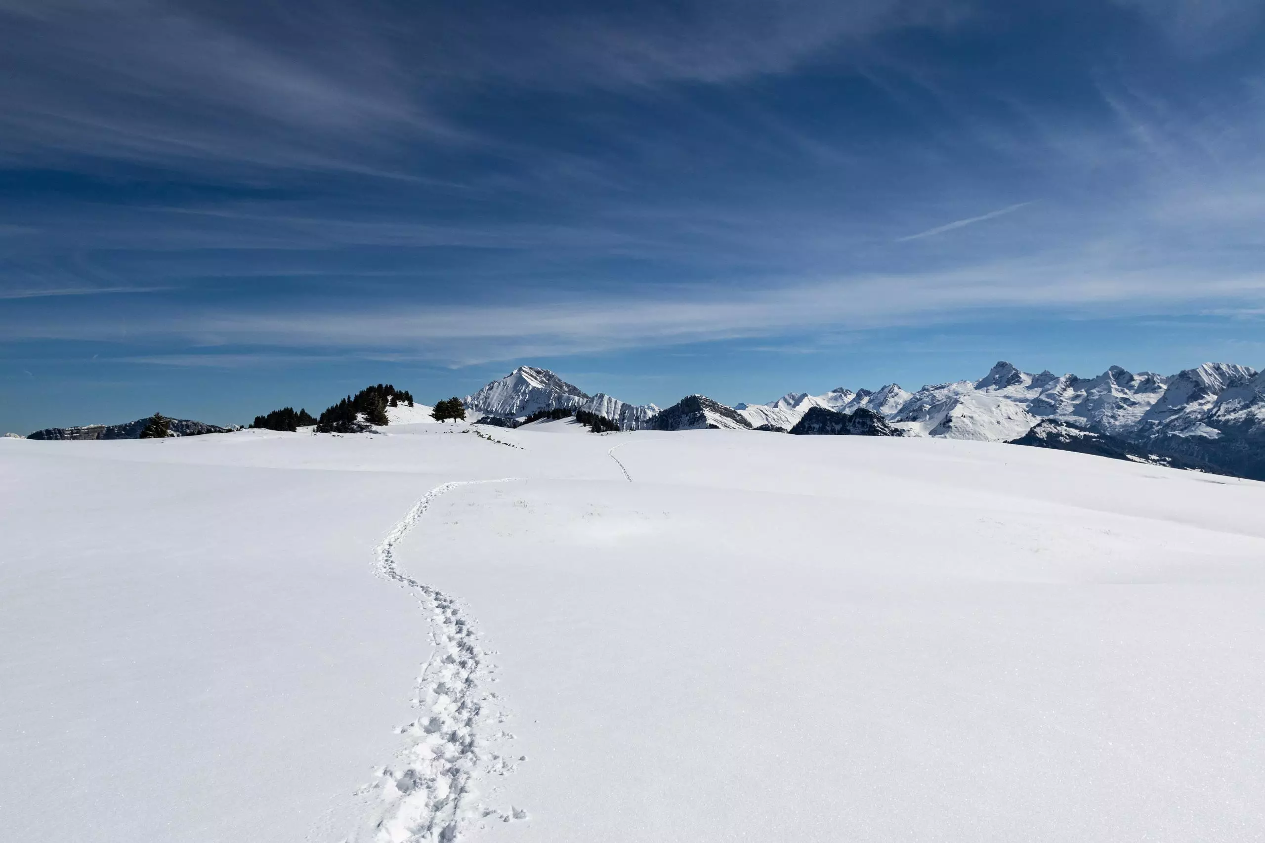
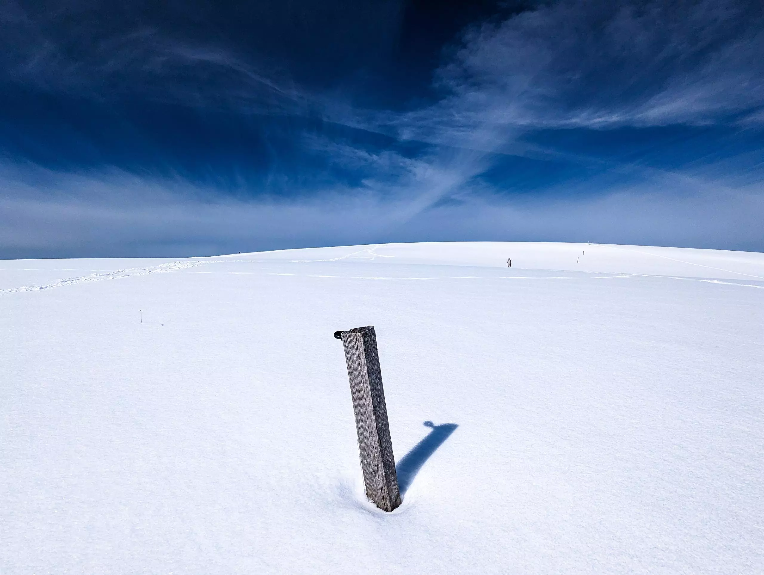
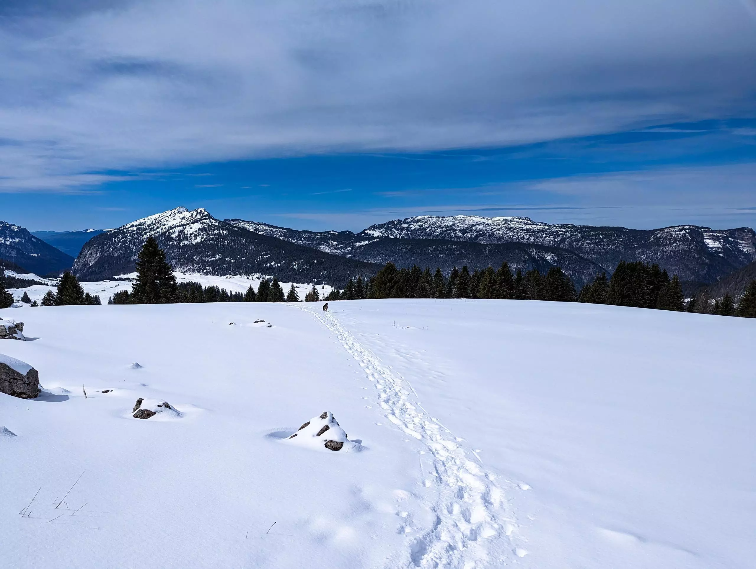
MapPlanner
5.563mi
Distance
3h7m
Duration
1.78mph
Speed
1480ft
Elevation +
1483ft
Elevation -
4639ft
Min altitude
5866ft
Max altitude
Medium
Level

Plateau des Glières vers Chalet des Auges

View on the Aravis massif
Path to the Chalet des Auges
Les chalets des Auges
Minimalist landscape
Back to Plan du Loup

Route details

Explore this hiking route of 5.563mi starting from Fillière, Haute-Savoie. The hike is a loop and returns to the starting point. This hike is rated as intermediate, plan for about 3h7m to complete it. The route has a positive elevation gain of 1480ft and a negative elevation loss of 1483ft.

Description of the route by the creator

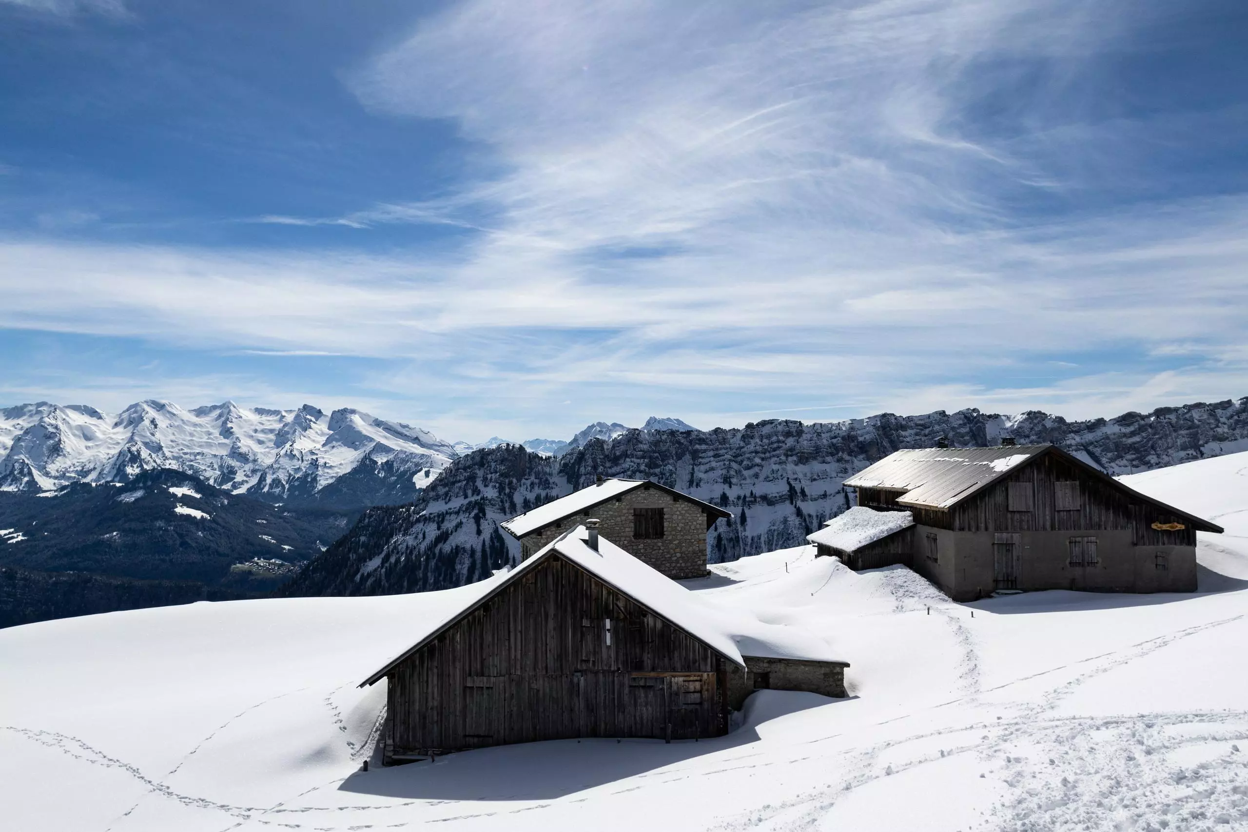
Departure from the parking lot of the route des Glières. Follow the signs that indicate Chalet des Auges. For the return, take the other path to join the parking lot at Plan des Loups.

(Description automatically translated)
Aravis

Route profile

1480ft
Elevation +
1483ft
Elevation -
4639ft
Min altitude
5866ft
Max altitude

How to get there

Route starting point: Route Des Glières, 74570 Fillière

GPS coordinates of the starting point: 45.96323, 6.32652 / 45°57'47'' N, 6°19'35'' E