Bauges: runs, hikes and bike rides
Discover all routes tagged « Bauges », located in the regions: Savoie, Haute-Savoie.
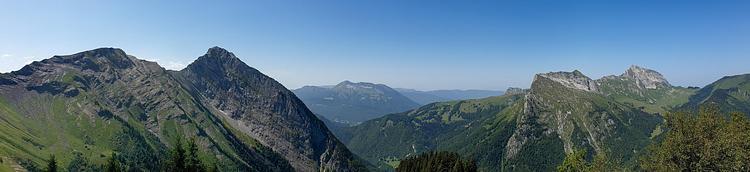
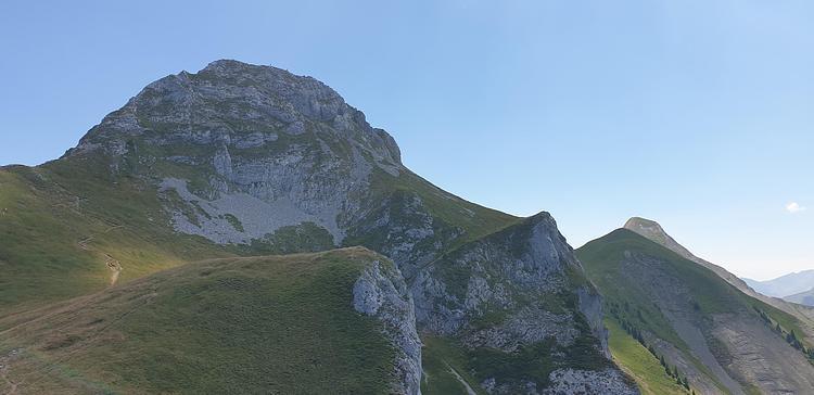
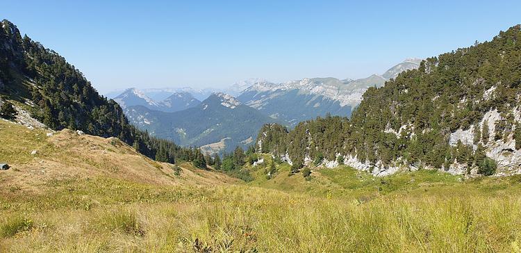
View on the Chaurionde and the Arcalod while climbing
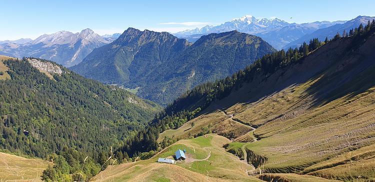
Chalet du Drison and the Mont-Blanc in the background
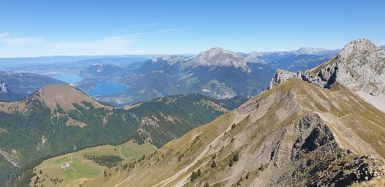
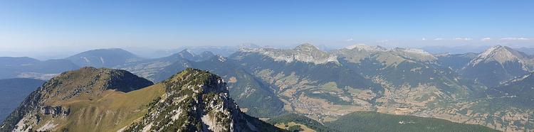
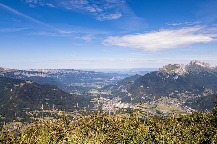
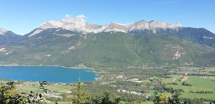
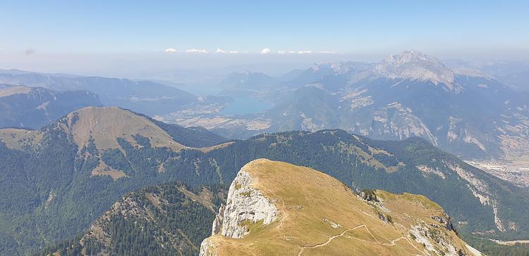
Lake Annecy and Tournette from the Chaurionde
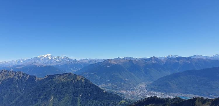
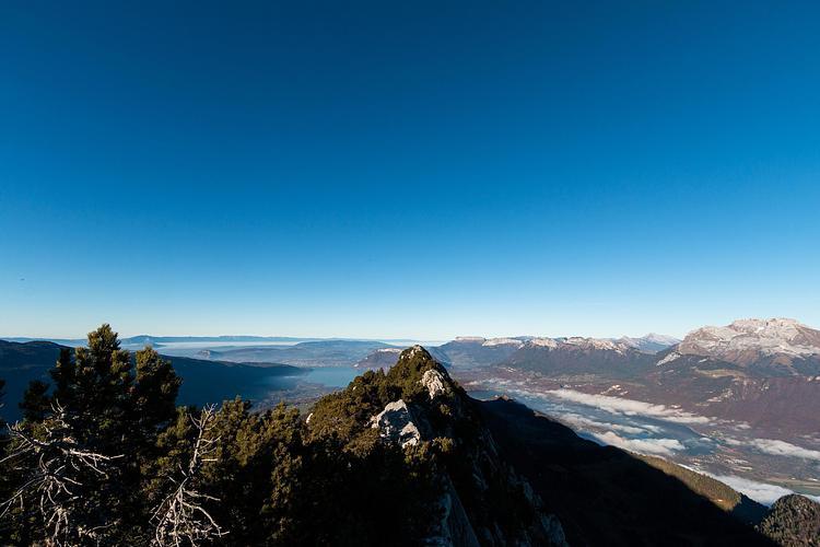
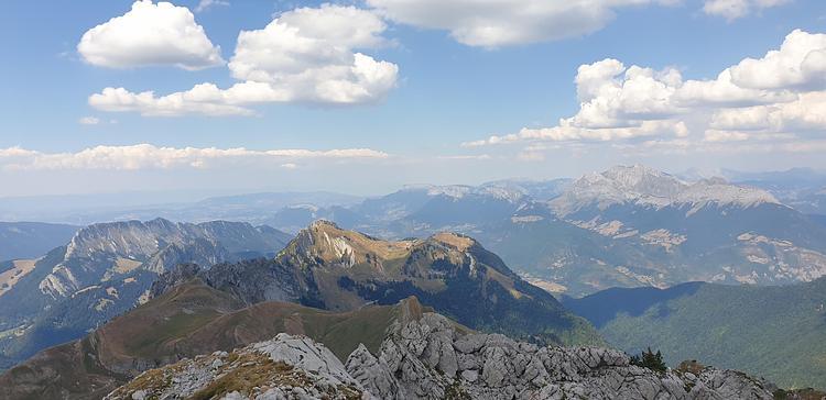
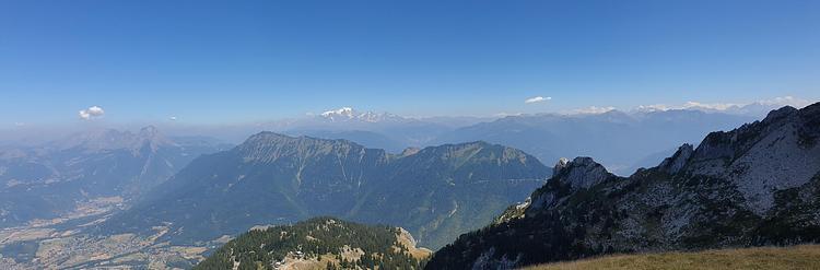
The Mont-Blanc and the Alps from the Chaurionde
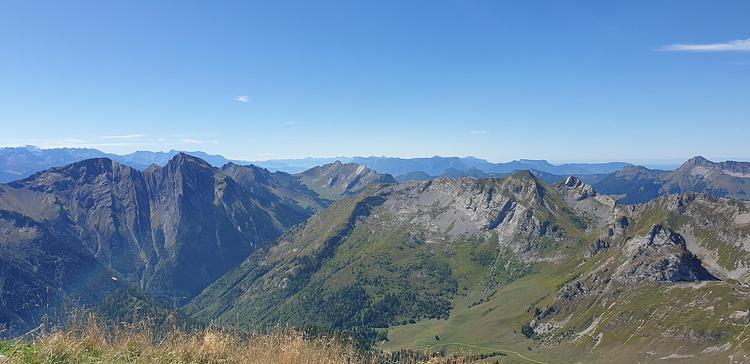
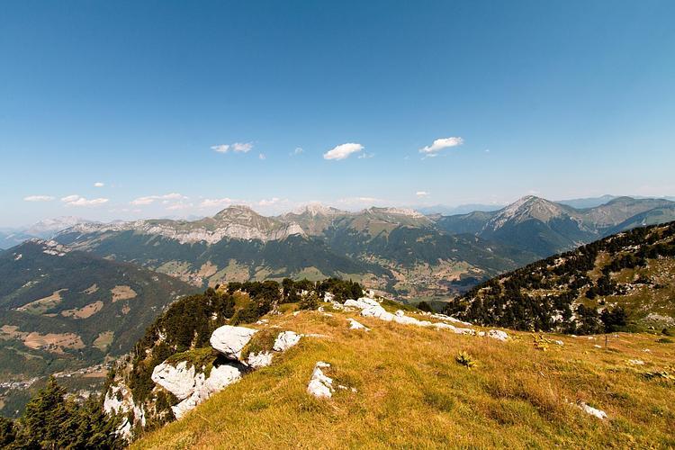
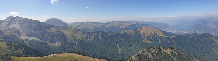
The Vercors from the Chaurionde
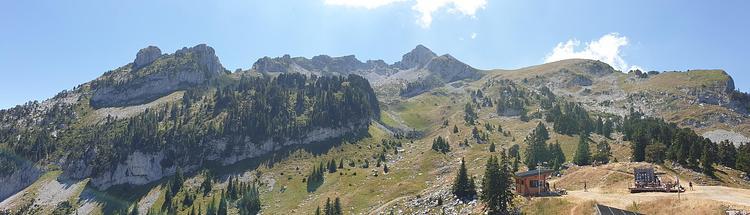
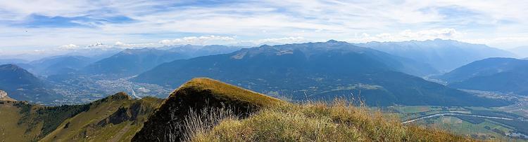
View of the Pointe de la Sambuy from the top of the resort
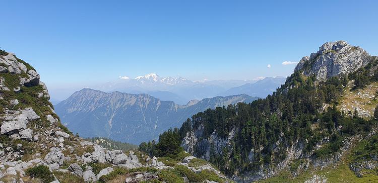
Nice view on the Mont-Blanc during the climb
The tip of the Sambuy from the small Sambuy
View from the point: the Arcalod on the left and Le Trélod just beside it
View on the north-east and the Mont-Blanc from the point
The small Sambuy from the top and the lake of Annecy
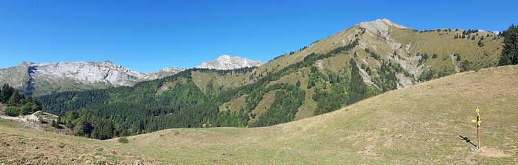
View of the Tournette on the way up