This hiking trail covers 10.556mi starting from Faverges-Seythenex, Haute-Savoie. The hike is a loop trail and returns to the trailhead. This hike is rated as strenuous, plan for about 5h38m to complete it. The route has an elevation gain of 4698ft and an elevation loss of 4777ft.
Description of the route by the creator
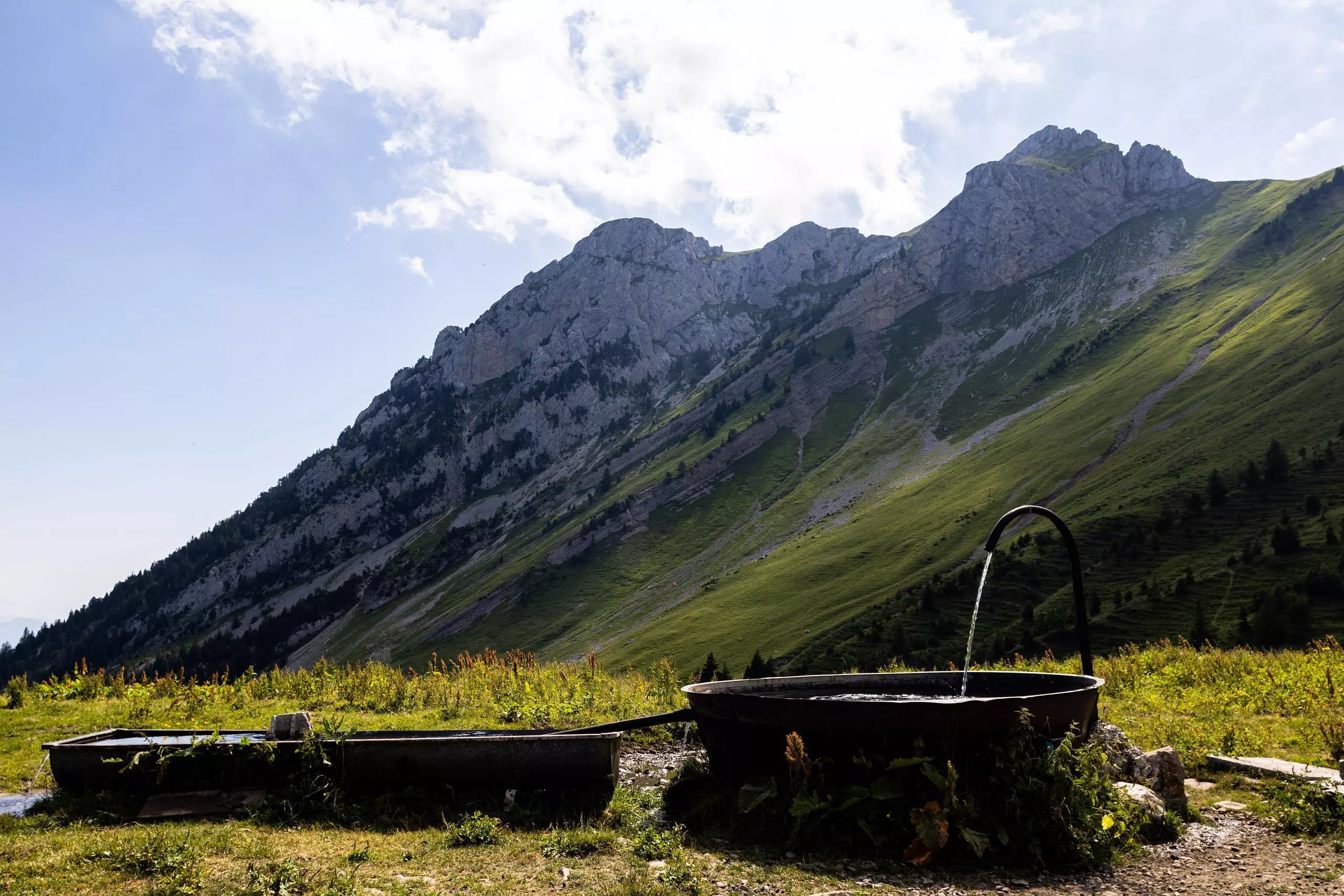
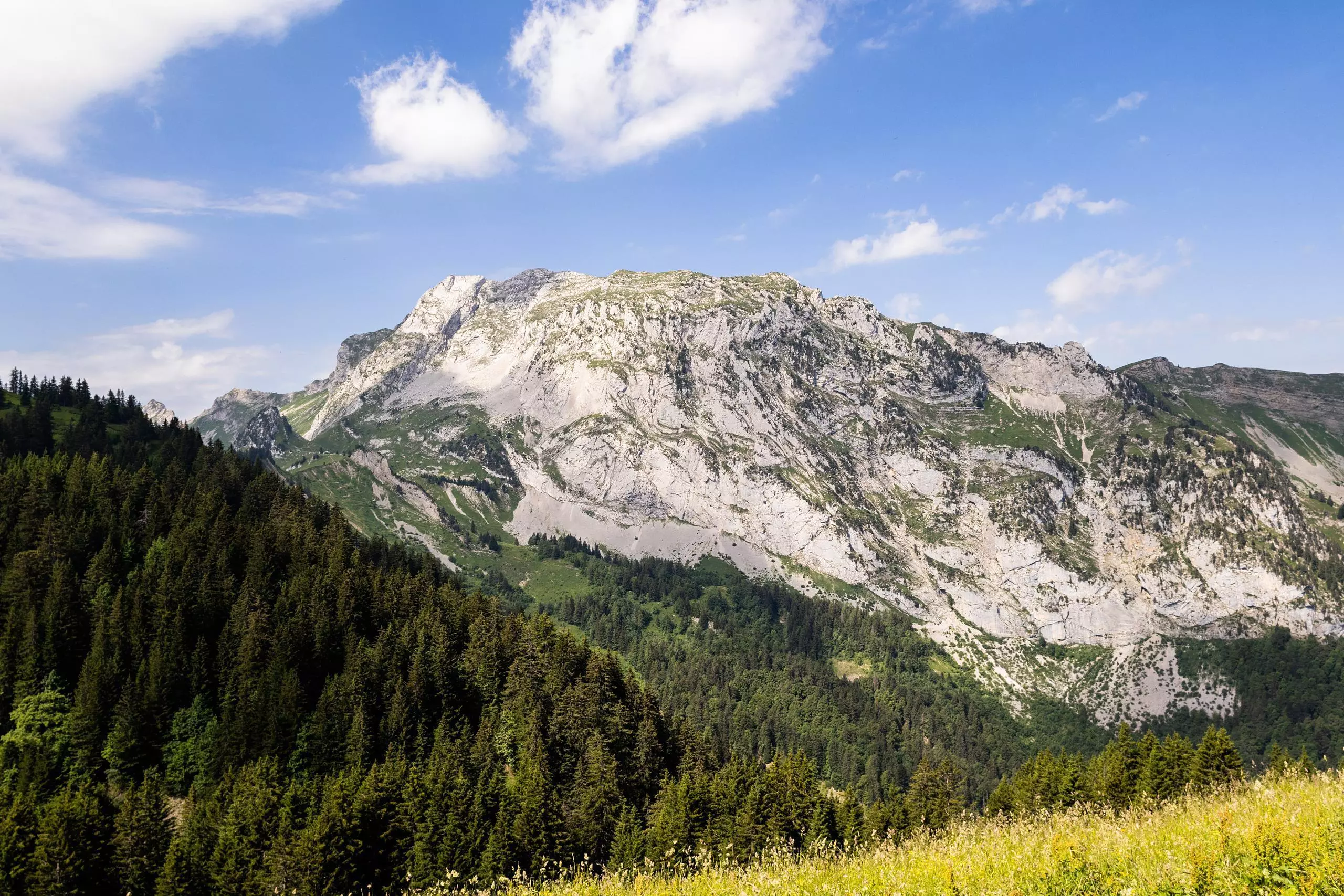
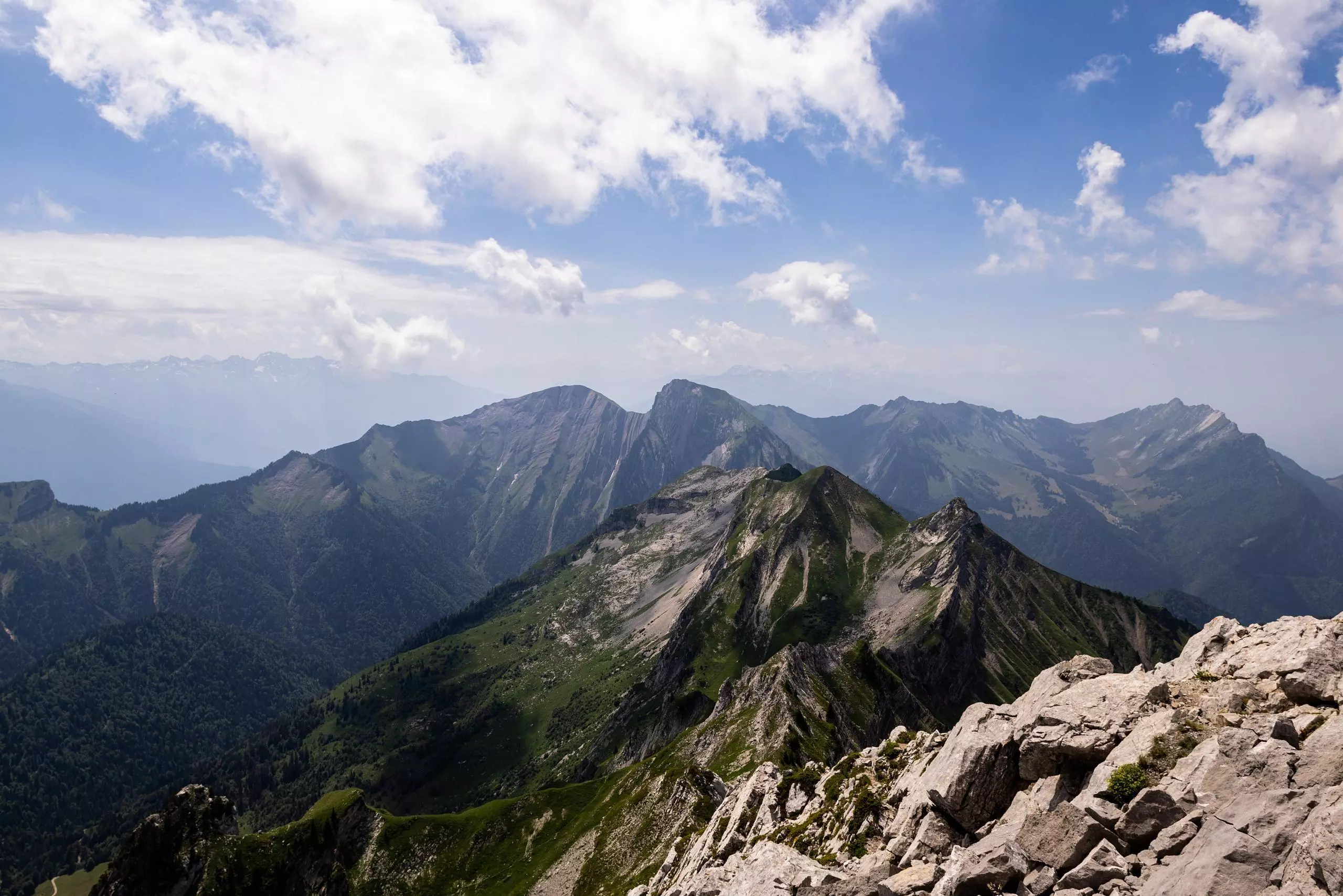
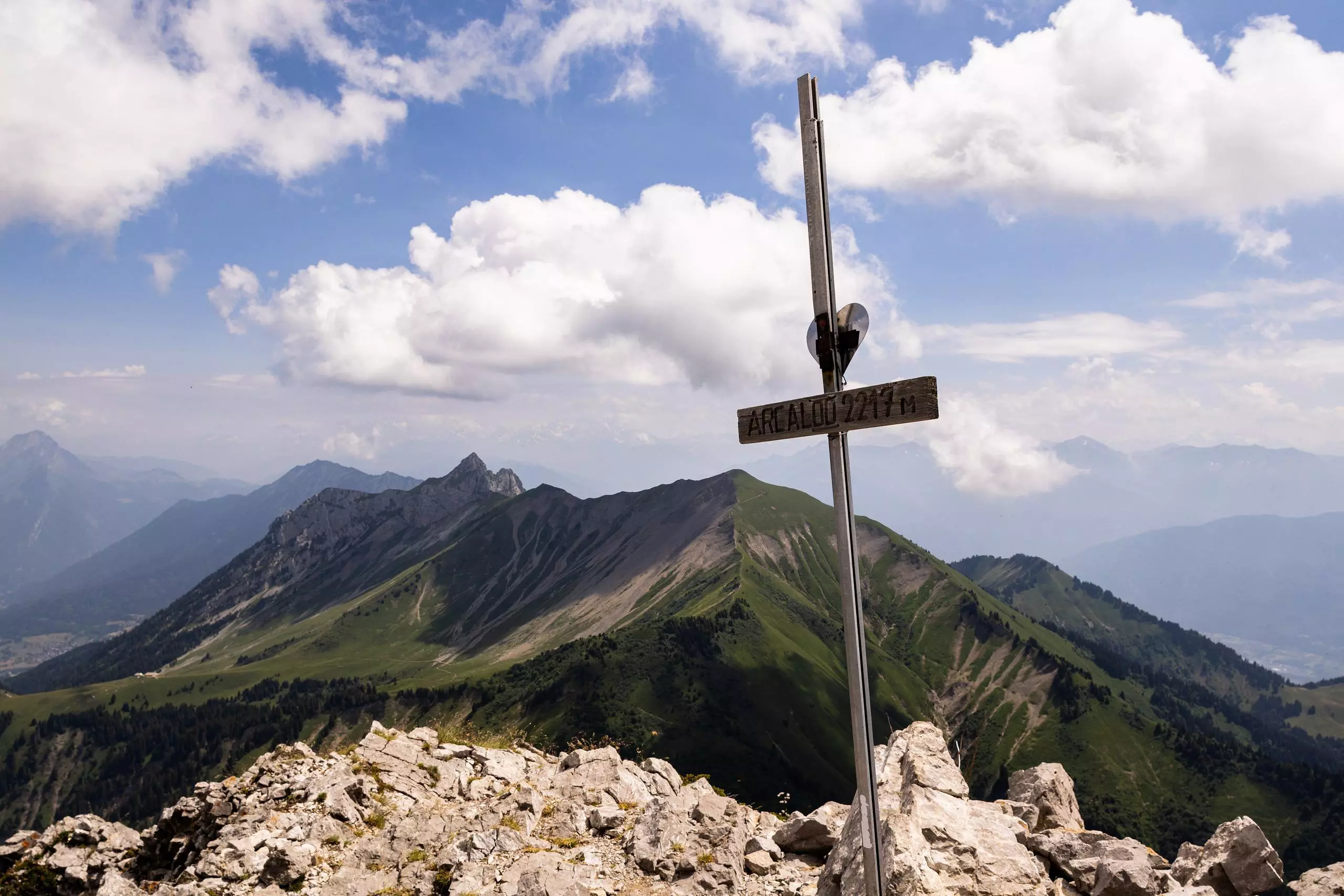
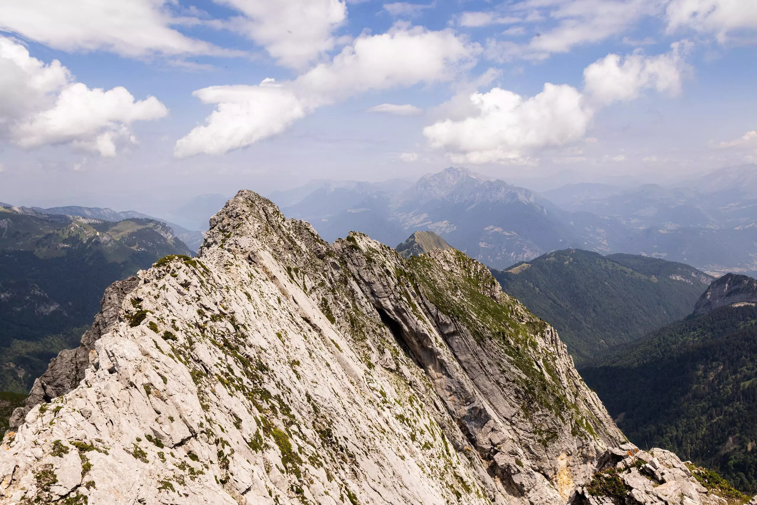
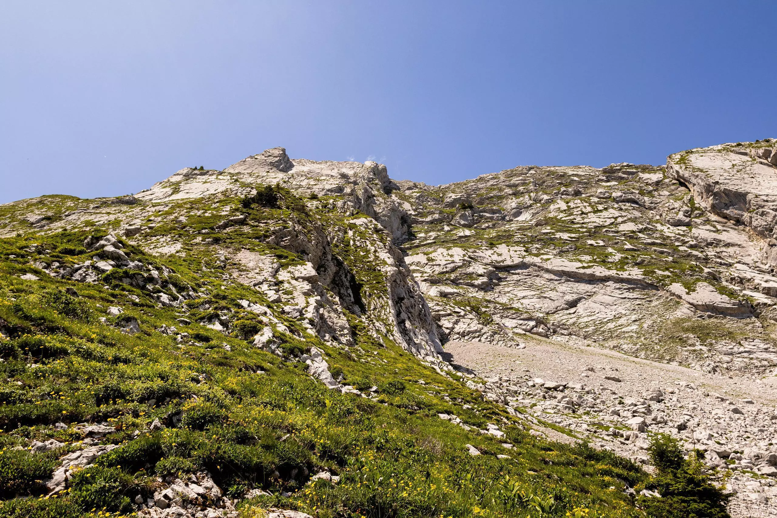
The hike starts from the Sambuy resort parking lot. Take the path up to the left at the bottom of the parking lot. Follow the signs to the Col d'Orgeval. Once you've reached the pass, turn left onto the path leading up to the summit. The path is no longer clearly marked. There are only yellow markings to indicate the walls to be climbed. No equipment is required for the ascent, but it is advisable to avoid it if the ground is wet or slippery. The level required is around 3a to reach the summit. This route is reserved for people with previous mountaineering experience. Return along the same path to the Col d'Orgeval, then turn left onto the path leading downhill. Once you've reached the Saint Ruph bridge, make the final 200m ascent to reach the parking lot.