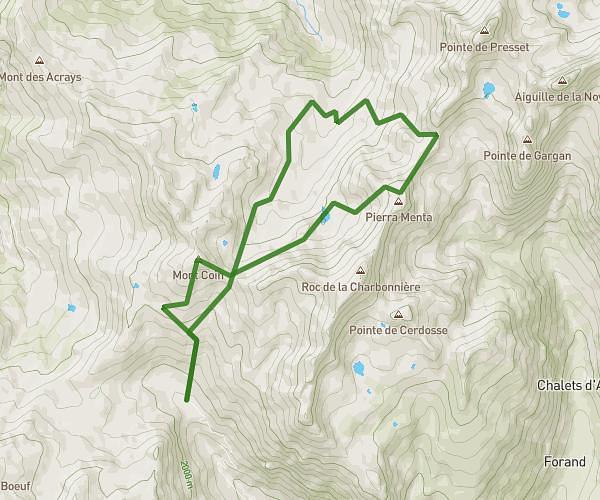
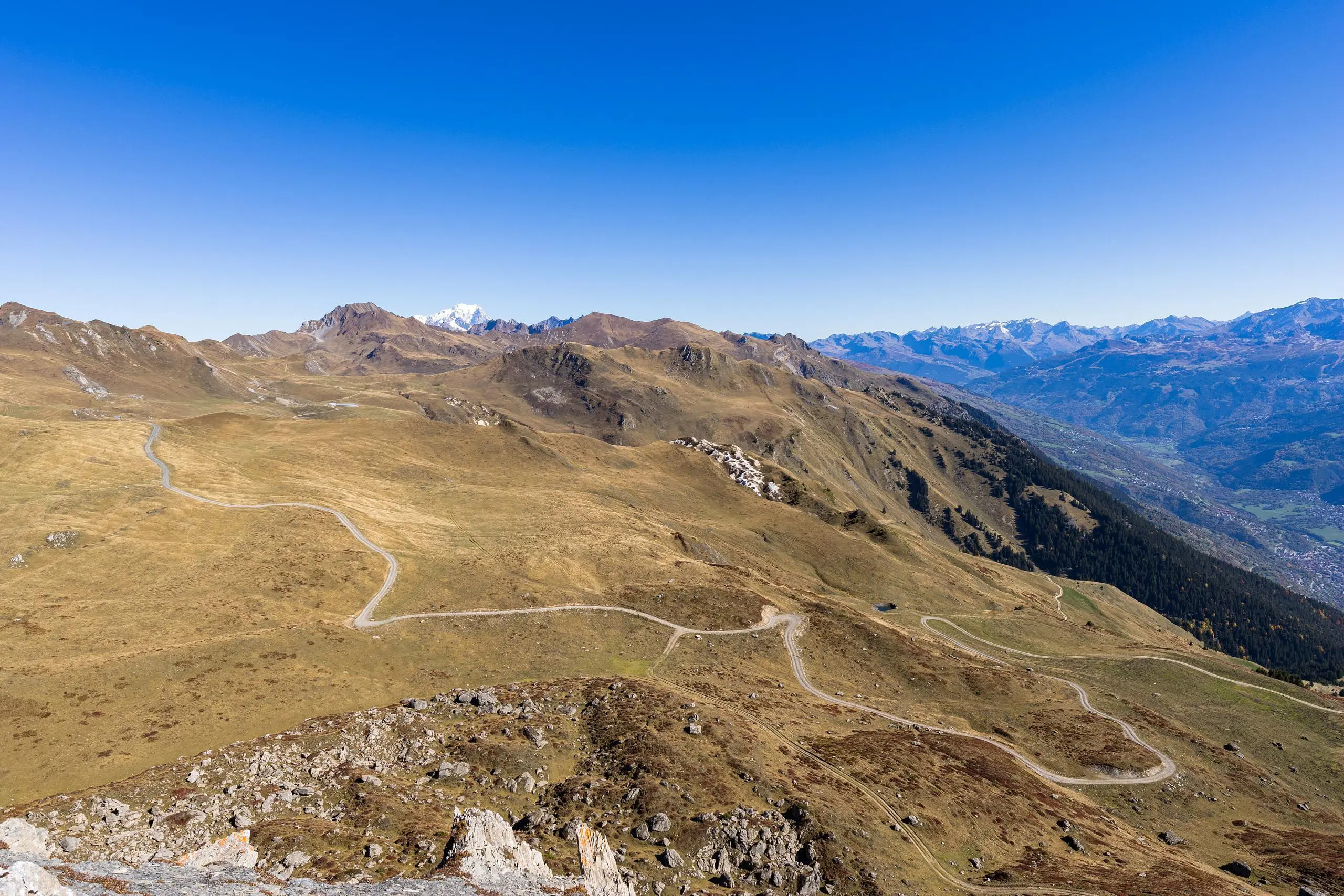
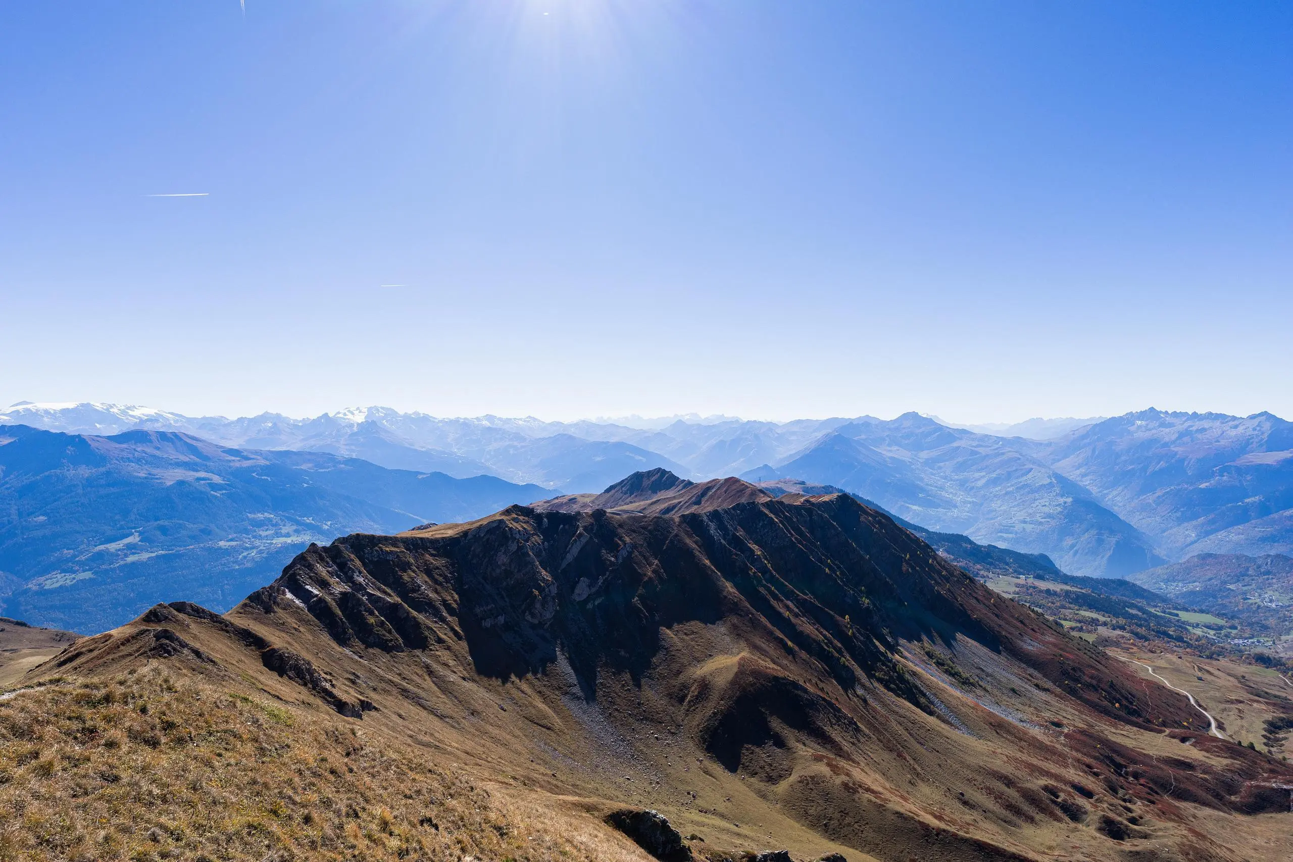
MapPlanner
9,795mi
Distance
4h35m
Duration
2,13mph
Speed
3524ft
Elevation +
3507ft
Elevation -
5686ft
Min altitude
8077ft
Max altitude
Difficult
Level

Le Quermoz - Pointe du Dzonfié

Autumn color along the path
View south (Écrins) from Quermoz
View to the east (Tigne, Les Arcs and La Plagne) from Le Quermoz
View north (Mont-Blanc) from Quermoz
View to the west (Grand-Arc) from Le Quermoz
At the summit of Quermoz
View to the northwest from Le Quermoz
Le Quermoz from Pointe du Dzonfié
La Pointe du Dzonfié

Route details

Explore this hiking route of 9,795mi starting from Hautecour, Les Belleville, Savoie. The hike is a loop and returns to the starting point. This hike is rated as difficult, plan for about 4h35m to complete it. The route has a positive elevation gain of 3524ft and a negative elevation loss of 3507ft.

Description of the route by the creator

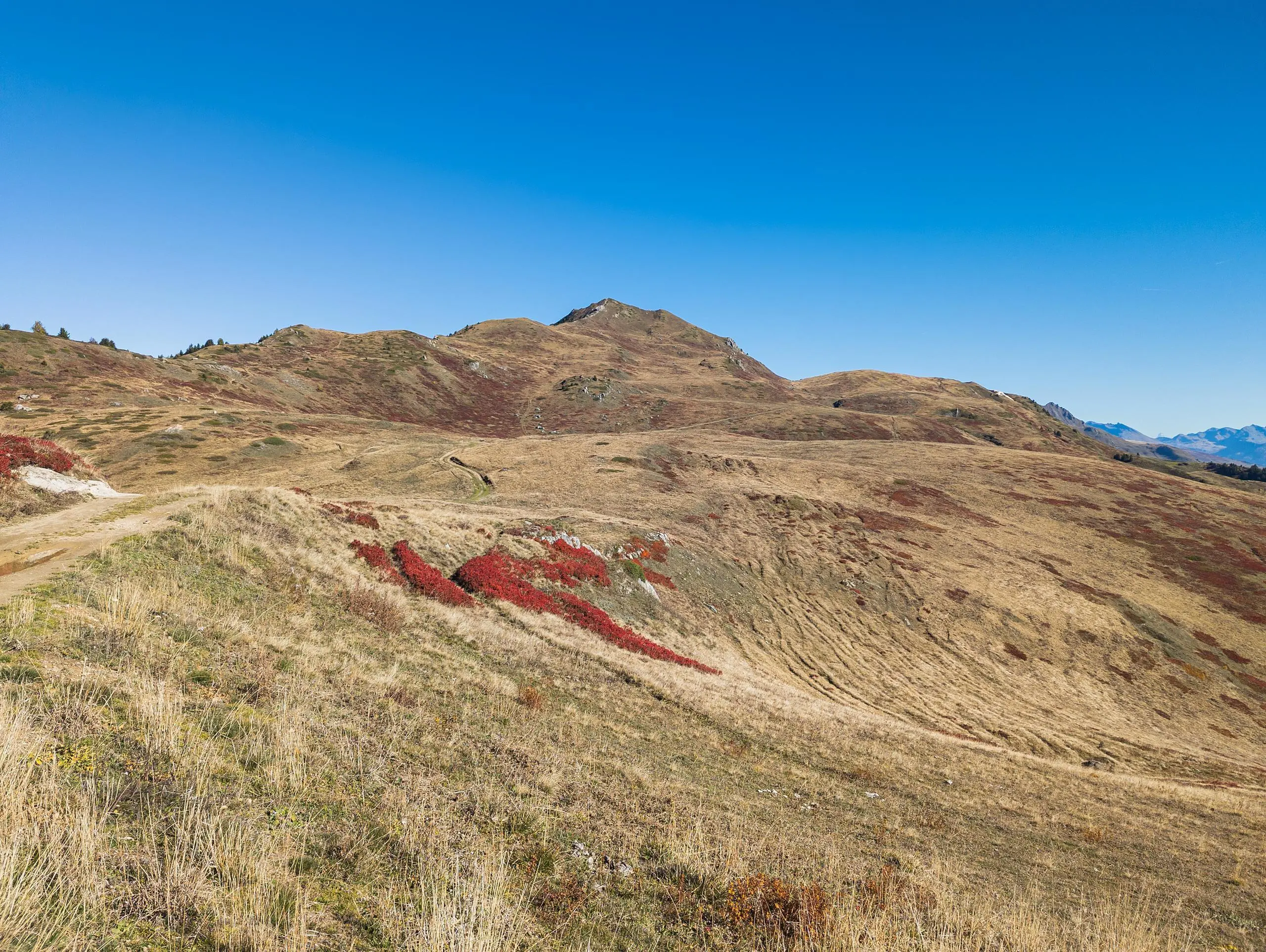
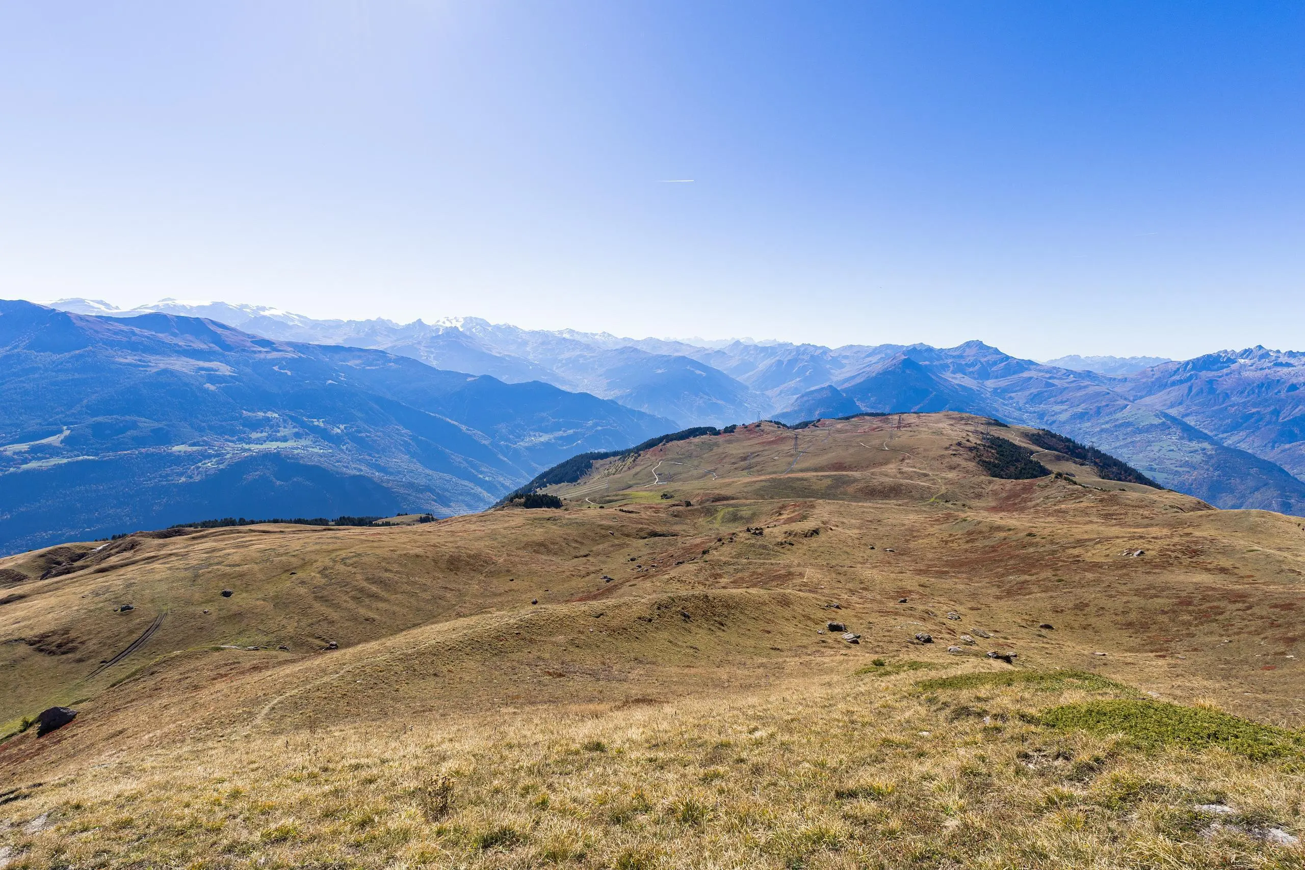
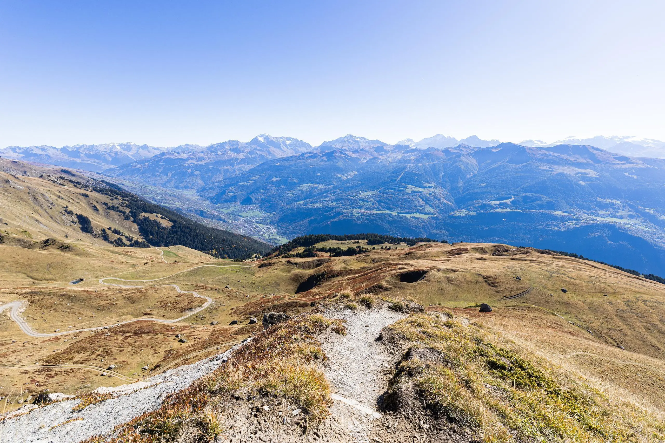
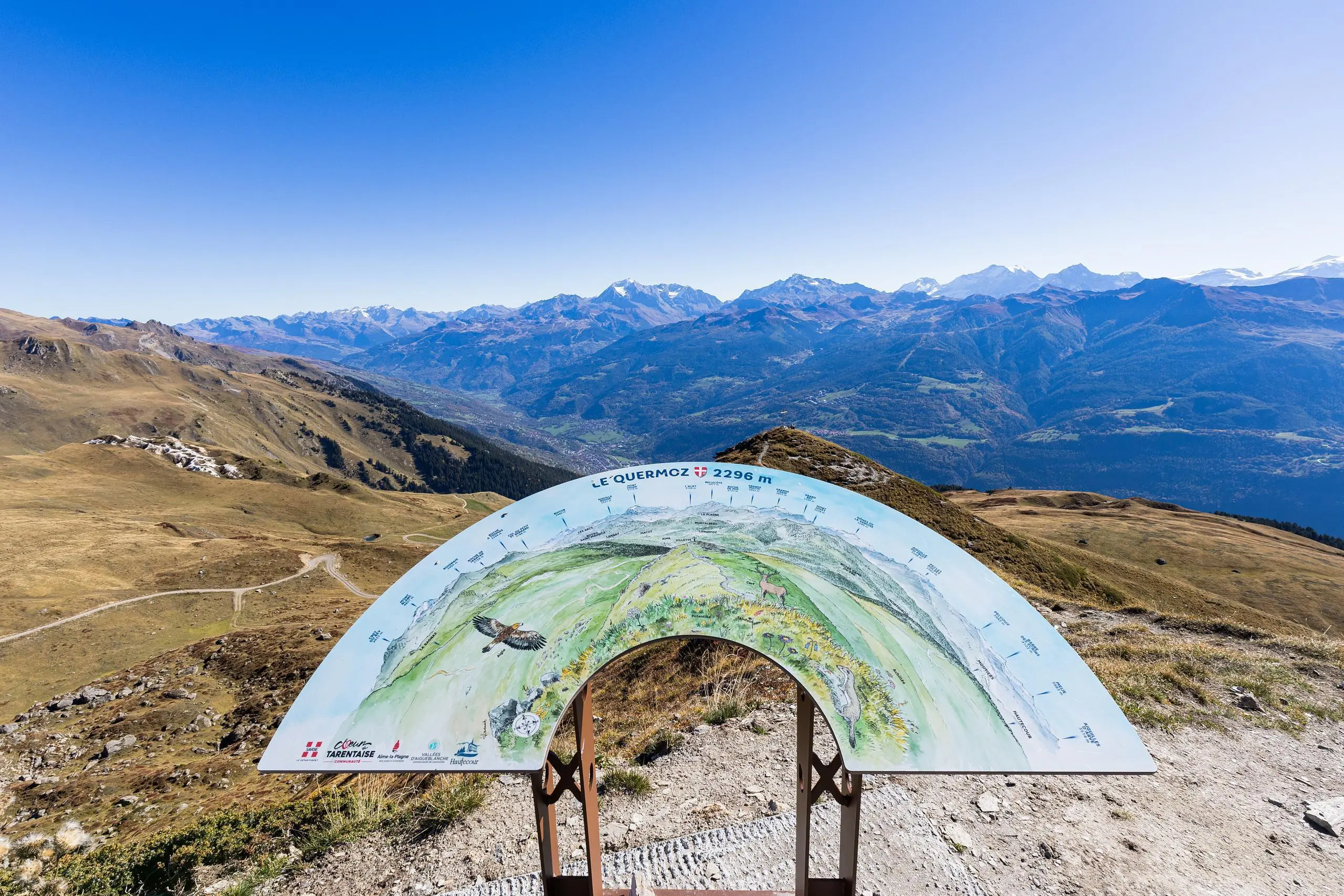
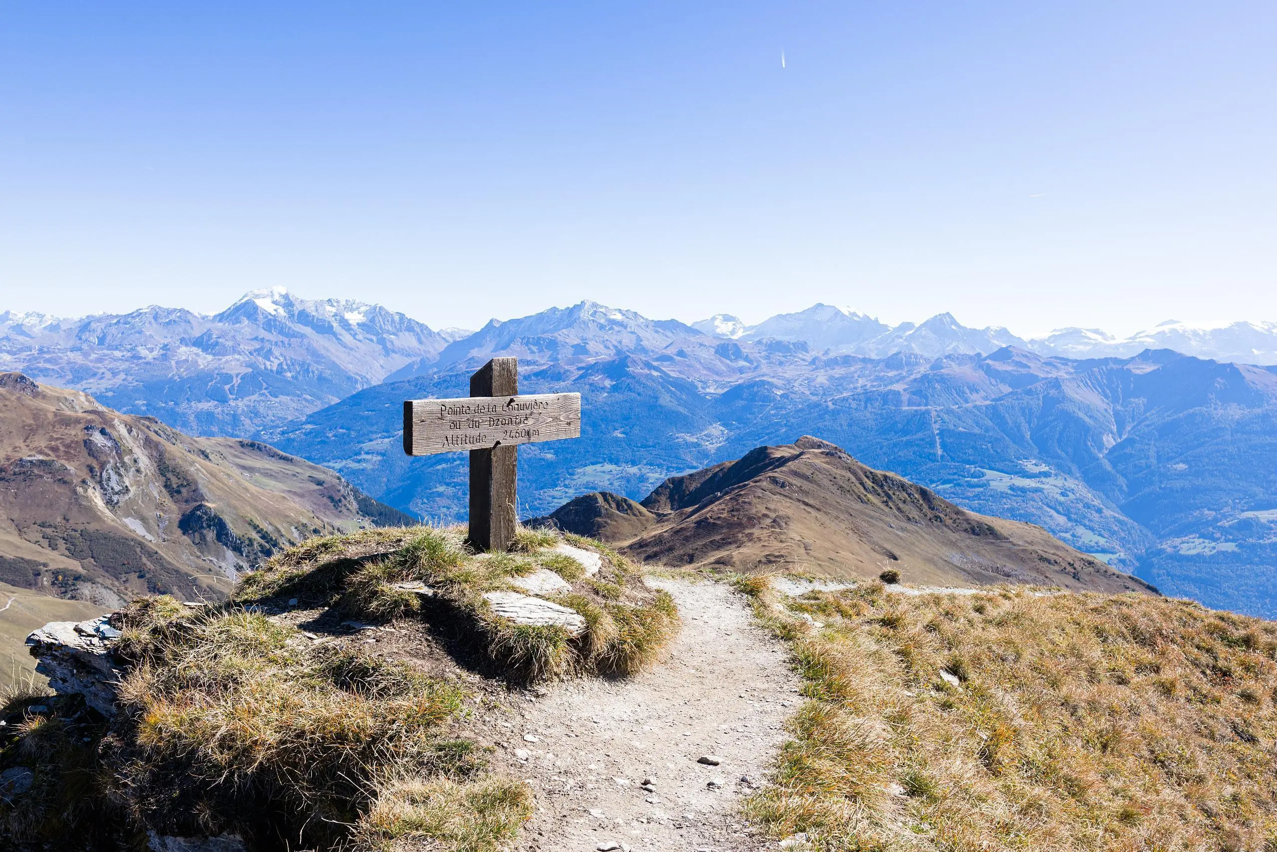
Park at the end of the Route des Alpages, just before the field. Follow the road to the first house. Then follow the signs to the summit of Quermoz. Continue towards the Pointe du Dzonfié, following the path along the ridge to the summit. Either return along the same path along the ridge, or cut off to join the path below.

(Description automatically translated)

Route profile

3524ft
Elevation +
3507ft
Elevation -
5686ft
Min altitude
8077ft
Max altitude

How to get there

Route starting point: 6371 Route Des Alpages, 73600 Hautecour, France

GPS coordinates of the starting point: 45.5292, 6.5501 / 45°31'45'' N, 6°33'0'' E