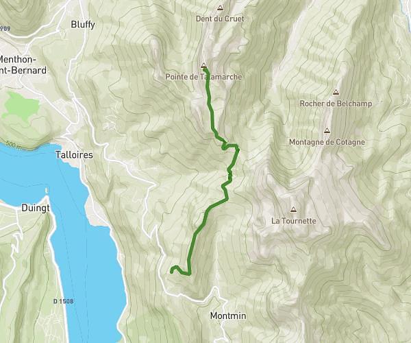
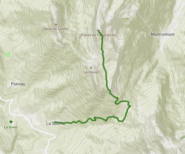
MapPlanner
4,269mi
Distance
2h45m
Duration
1,55mph
Speed
3031ft
Elevation +
3031ft
Elevation -
3068ft
Min altitude
6089ft
Max altitude
Difficult
Level

Dent de Rossanaz

View from the dent de Rossanaz on the Bauges
View on the Mont Colombier from the tooth
View from the Rossanaz tooth

Route details

Explore this hiking route of 4,269mi starting from Aillon-le-Vieux, Savoie. The hike is a loop and returns to the starting point. This hike is rated as difficult, plan for about 2h45m to complete it. The route has a positive elevation gain of 3031ft and a negative elevation loss of 3031ft.

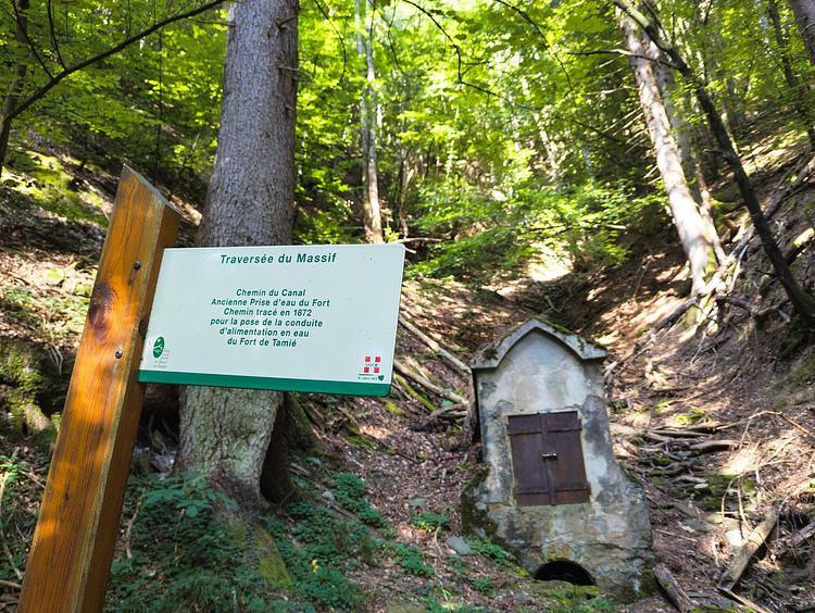
Description of the route by the creator

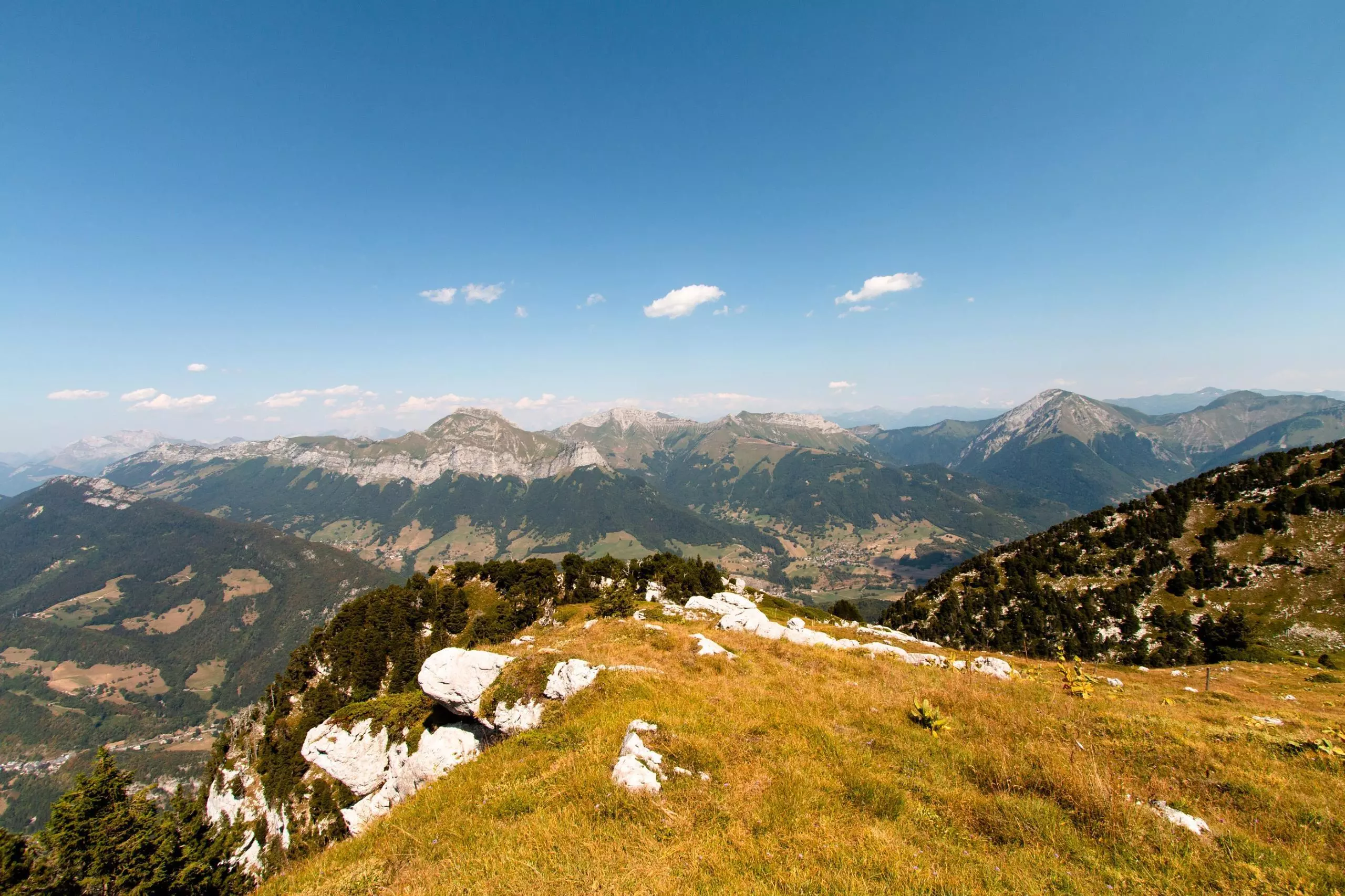
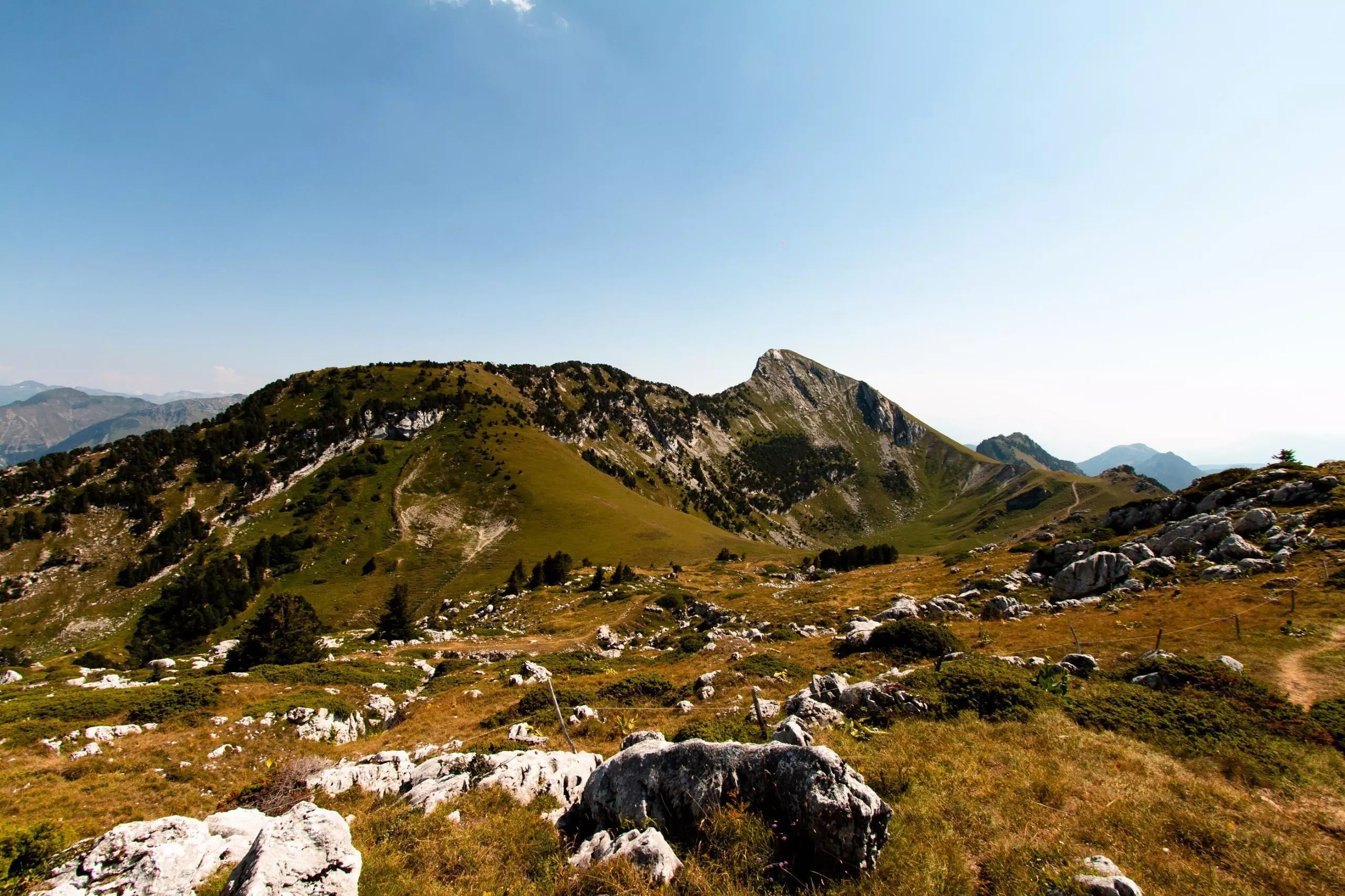
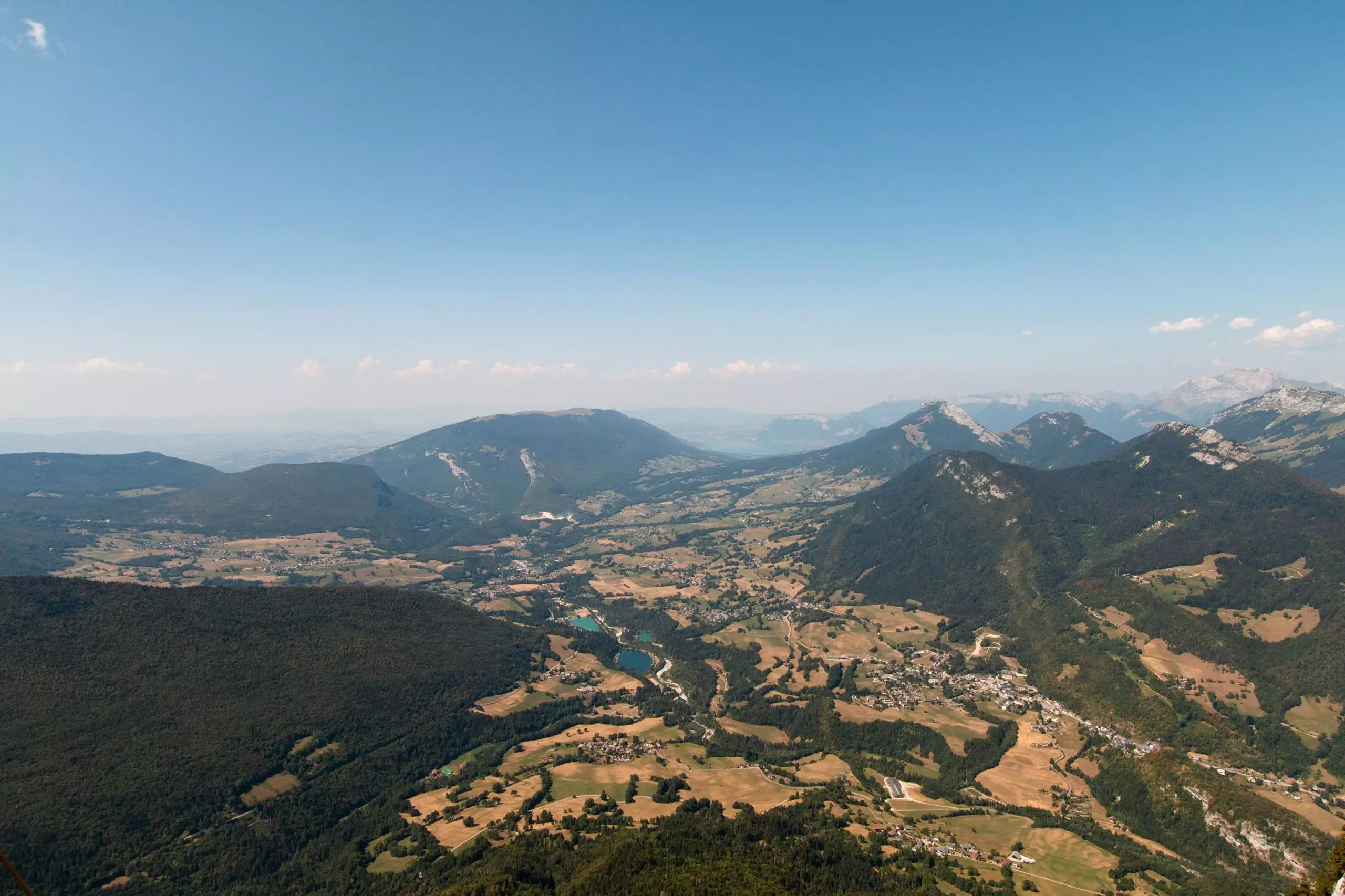
Dent de Rossanaz from Aillon-le-Vieux

(Description automatically translated)
Savoie
Bauges

Route profile

3031ft
Elevation +
3031ft
Elevation -
3068ft
Min altitude
6089ft
Max altitude

How to get there

Route starting point: Montée Du Mollaret, 73340 Aillon-le-Vieux

GPS coordinates of the starting point: 45.65138, 6.0954 / 45°39'4'' N, 6°5'43'' E