MapPlanner
5.377mi
Distance
4h50m
Duration
1.11mph
Speed
1988ft
Elevation +
1969ft
Elevation -
3281ft
Min altitude
5246ft
Max altitude
Medium
Level

Roc du Four Magnin depuis Mont Derrière

Bornette Pass Farm
Bornette Pass Farm
Bornette Pass Farm
Bornette Pass Farm
View on the lake and the Tournette from the farm
View on the Bauges, including the Colombier from the top of the rock.
View on Mont Derrière from the rock
Intersection before the Col de la Frasse with a view of the Roc des Boeufs on the right
View on the lake and the Mont-Blanc from the Roc de Four Magnin
Path along the cliff to reach the Col de la Frasse

Route details

Explore this hiking route of 5.377mi starting from Bellecombe-en-Bauges, Savoie. The hike is a loop and returns to the starting point. This hike is rated as intermediate, plan for about 4h50m to complete it. The route has a positive elevation gain of 1988ft and a negative elevation loss of 1969ft.

Description of the route by the creator

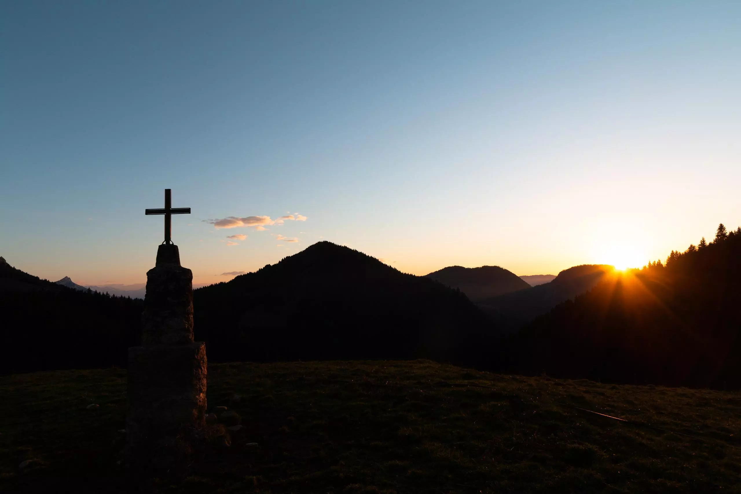
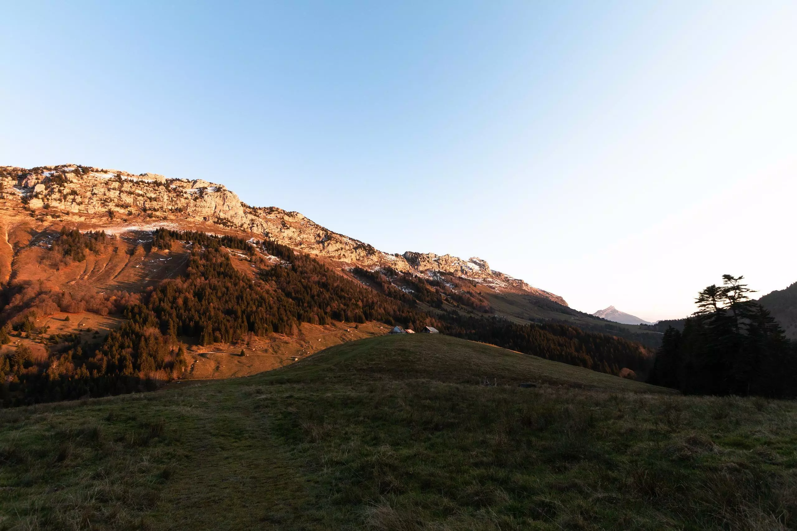
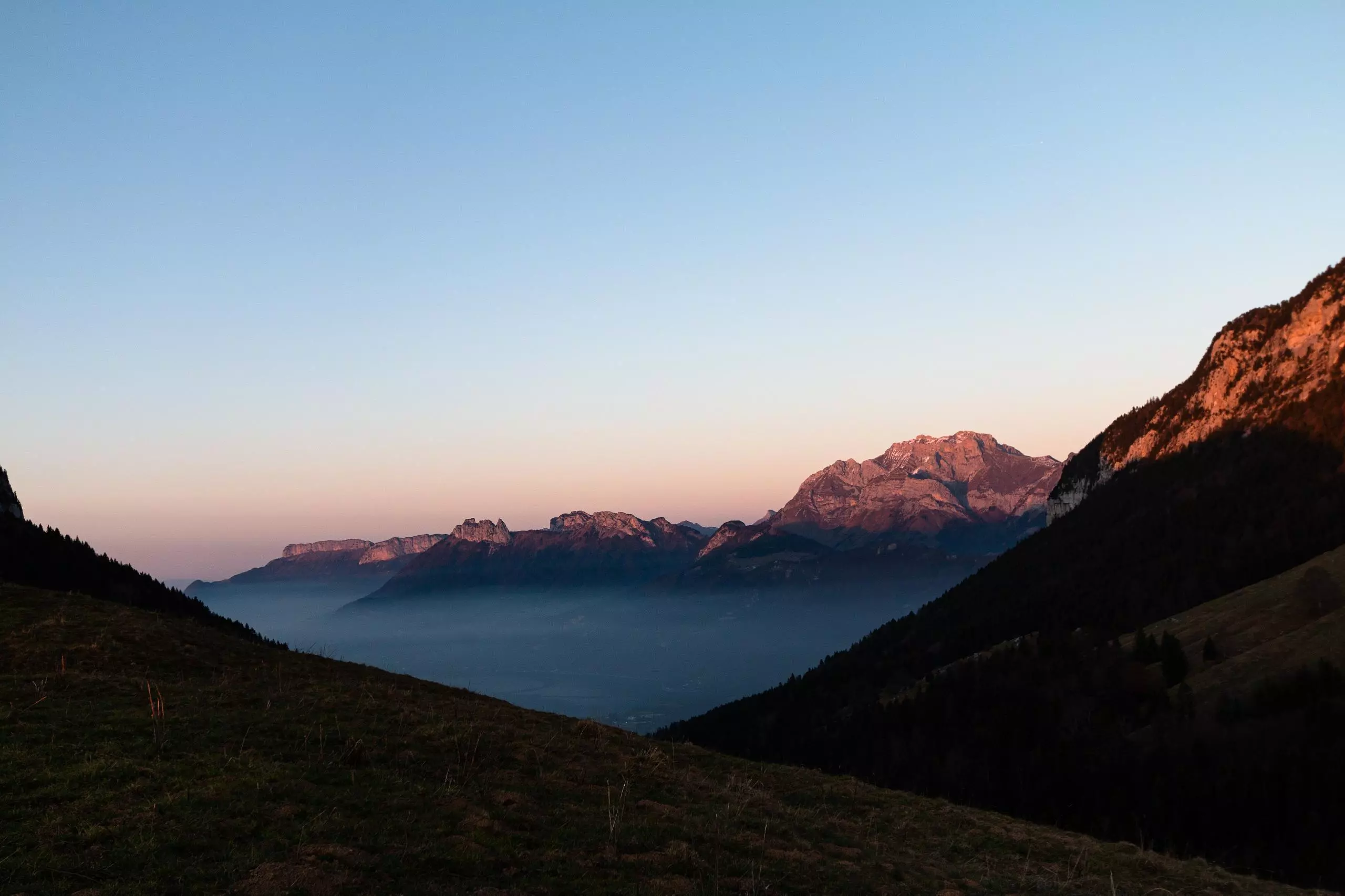
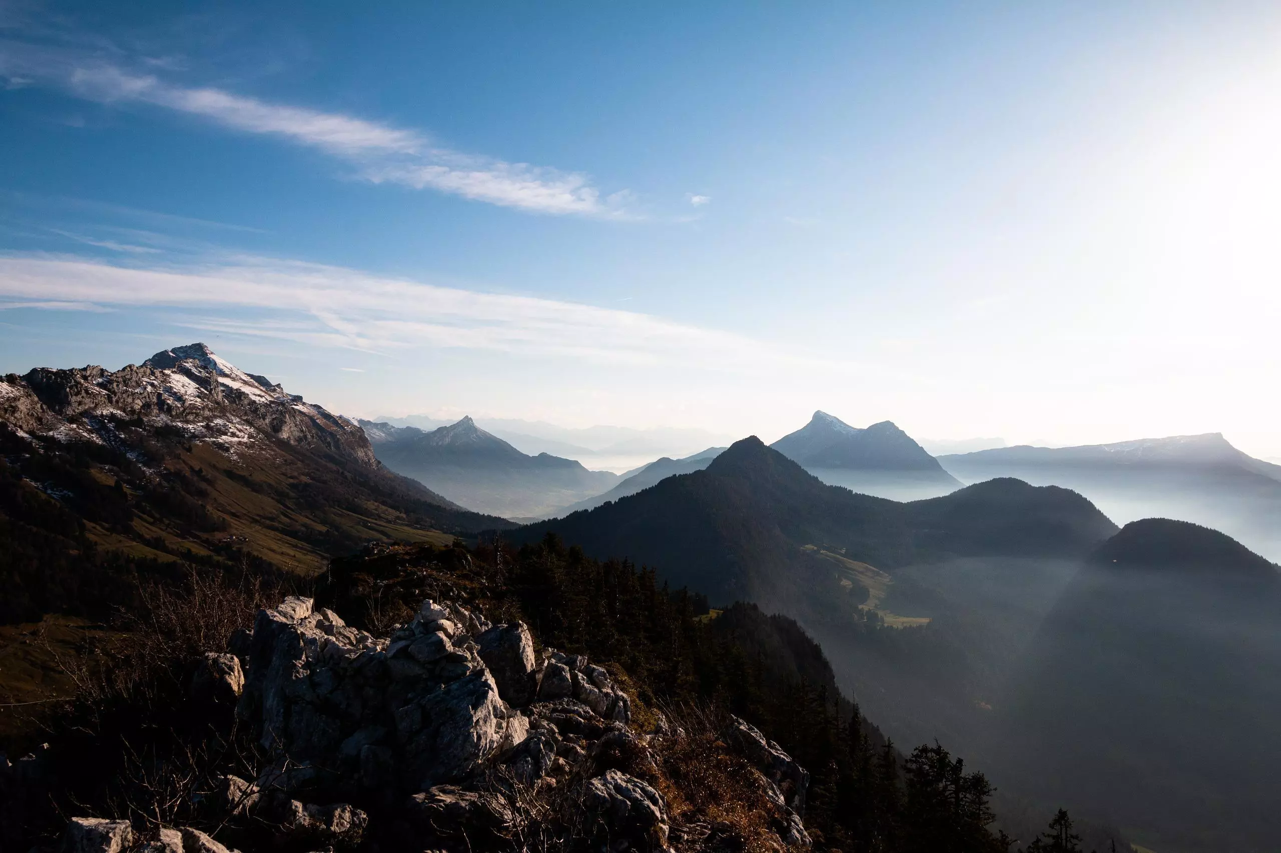
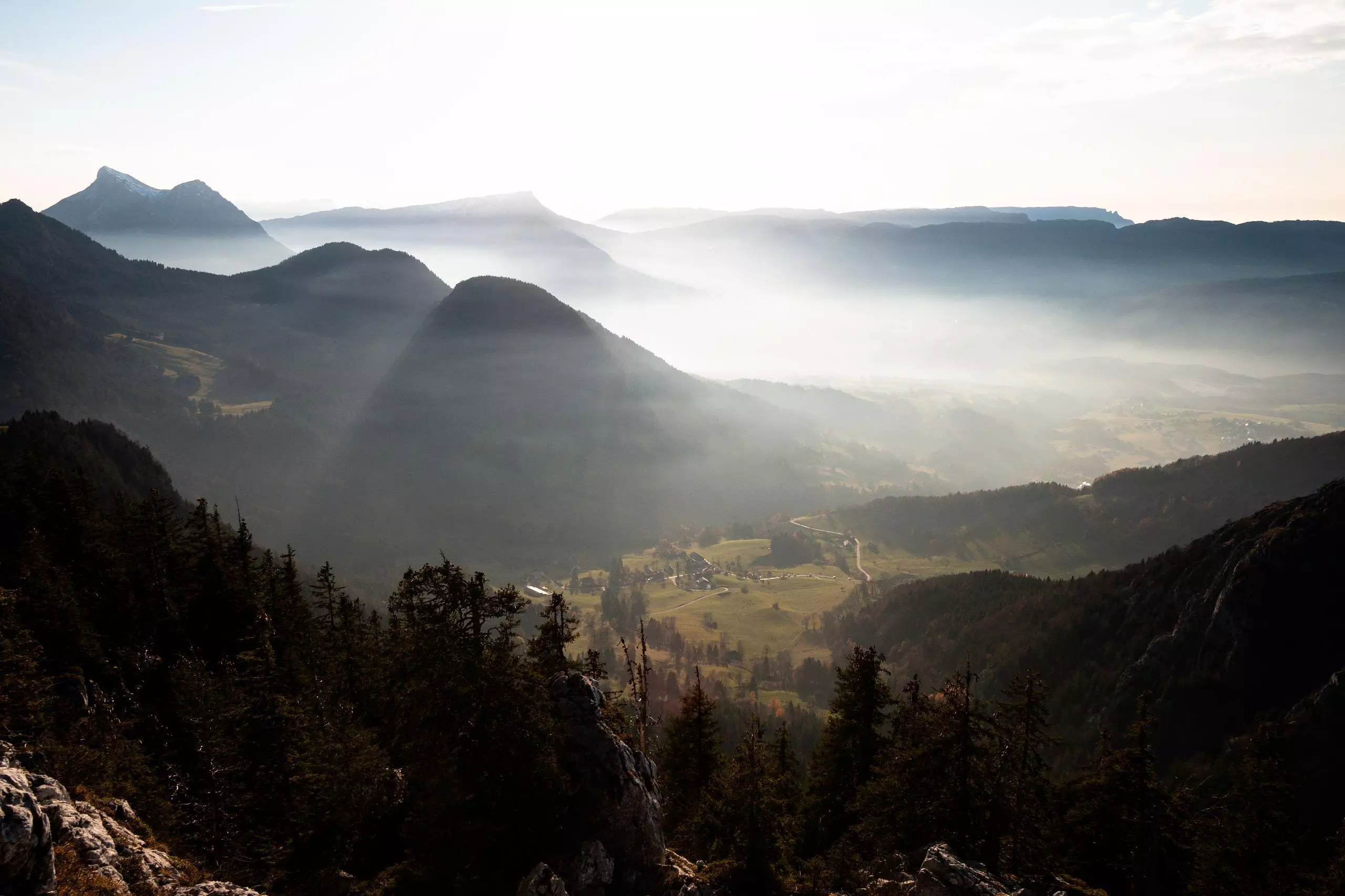
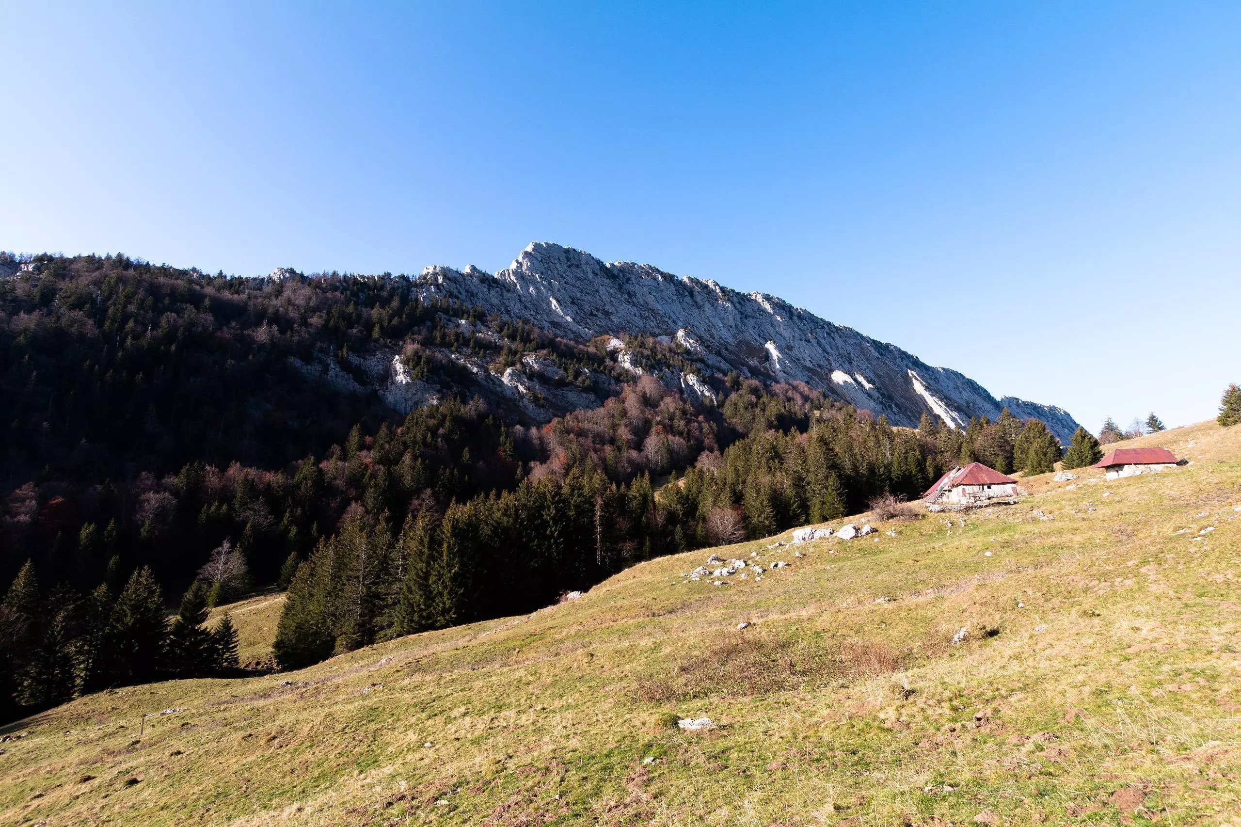
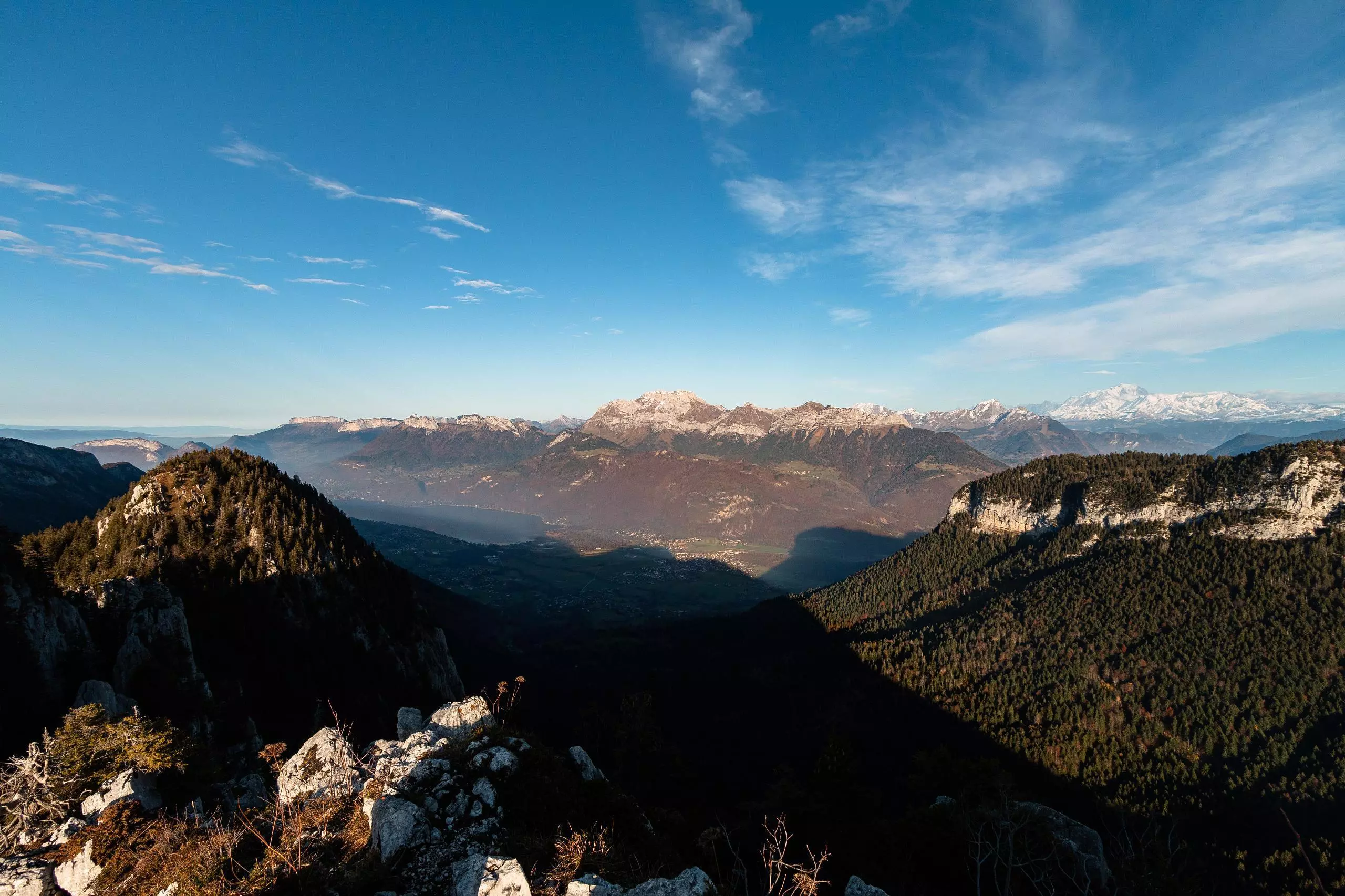
From the parking along the road at Mont Derrière, go to the heart of the hamlet and follow the sign for the Col de la Frasse. Just before reaching the Col de la Frasse, follow the sign for the Col de Bornette. In the middle of this path, it is possible to go to the Roc de Four Magnin. Be careful, because the path is steep and the summit is in the void. Then go back and take the path on the left to reach a farm. Finally, continue on the track following the signs to the Monts Devant.

(Description automatically translated)
Bauges

Route profile

1988ft
Elevation +
1969ft
Elevation -
3281ft
Min altitude
5246ft
Max altitude

How to get there

Route starting point: Chemin Du Solliet, 73340 Bellecombe-en-Bauges

GPS coordinates of the starting point: 45.73638, 6.16008 / 45°44'10'' N, 6°9'36'' E