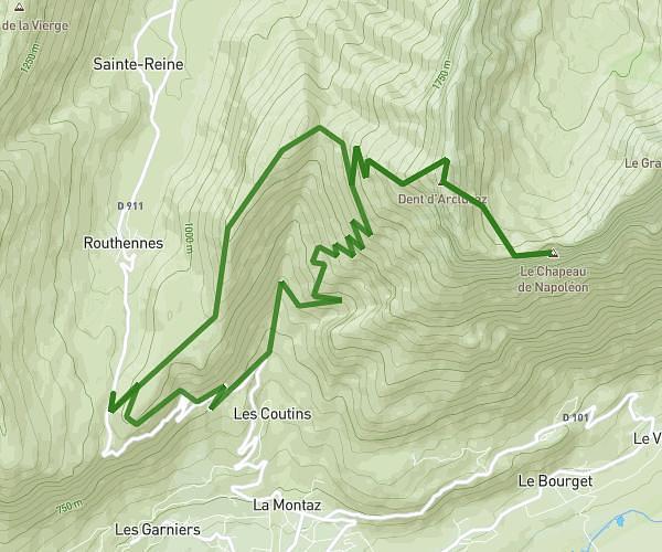
This hiking trail covers 7.213mi starting from La Chapelle-Saint-Maurice, Haute-Savoie. The hike is a loop trail and returns to the trailhead. This hike is rated as hard, plan for about 3h40m to complete it. The route has an elevation gain of 2694ft and an elevation loss of 2690ft.
Description of the route by the creator
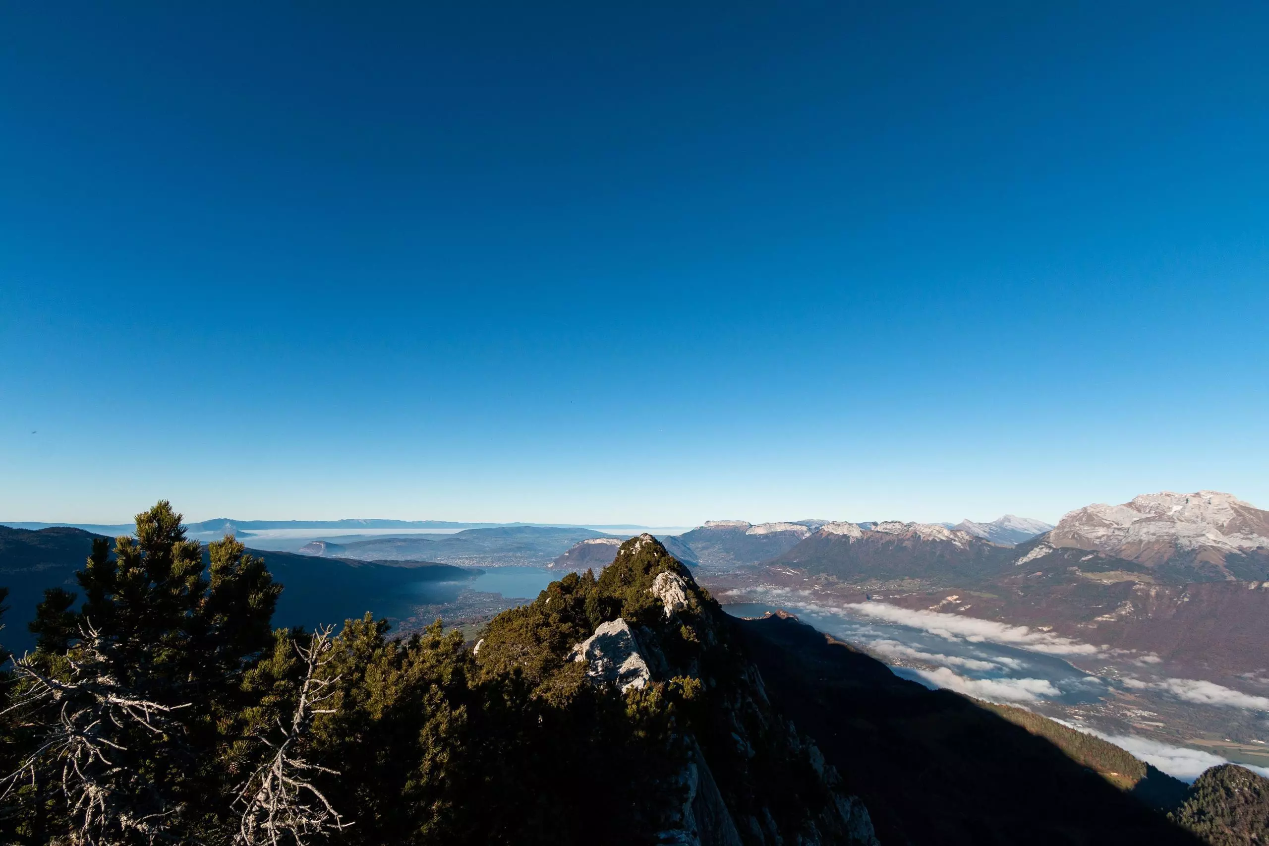
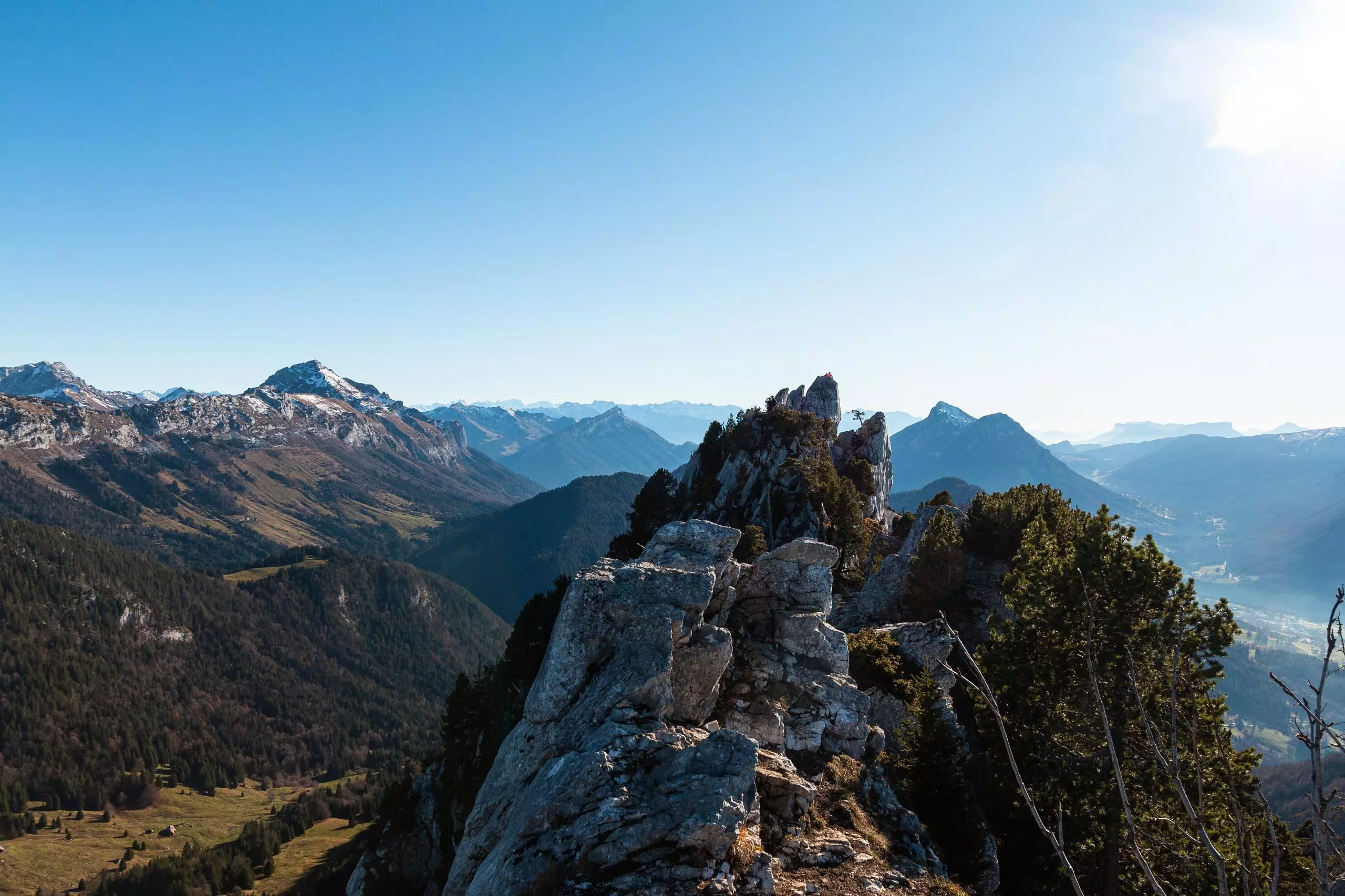
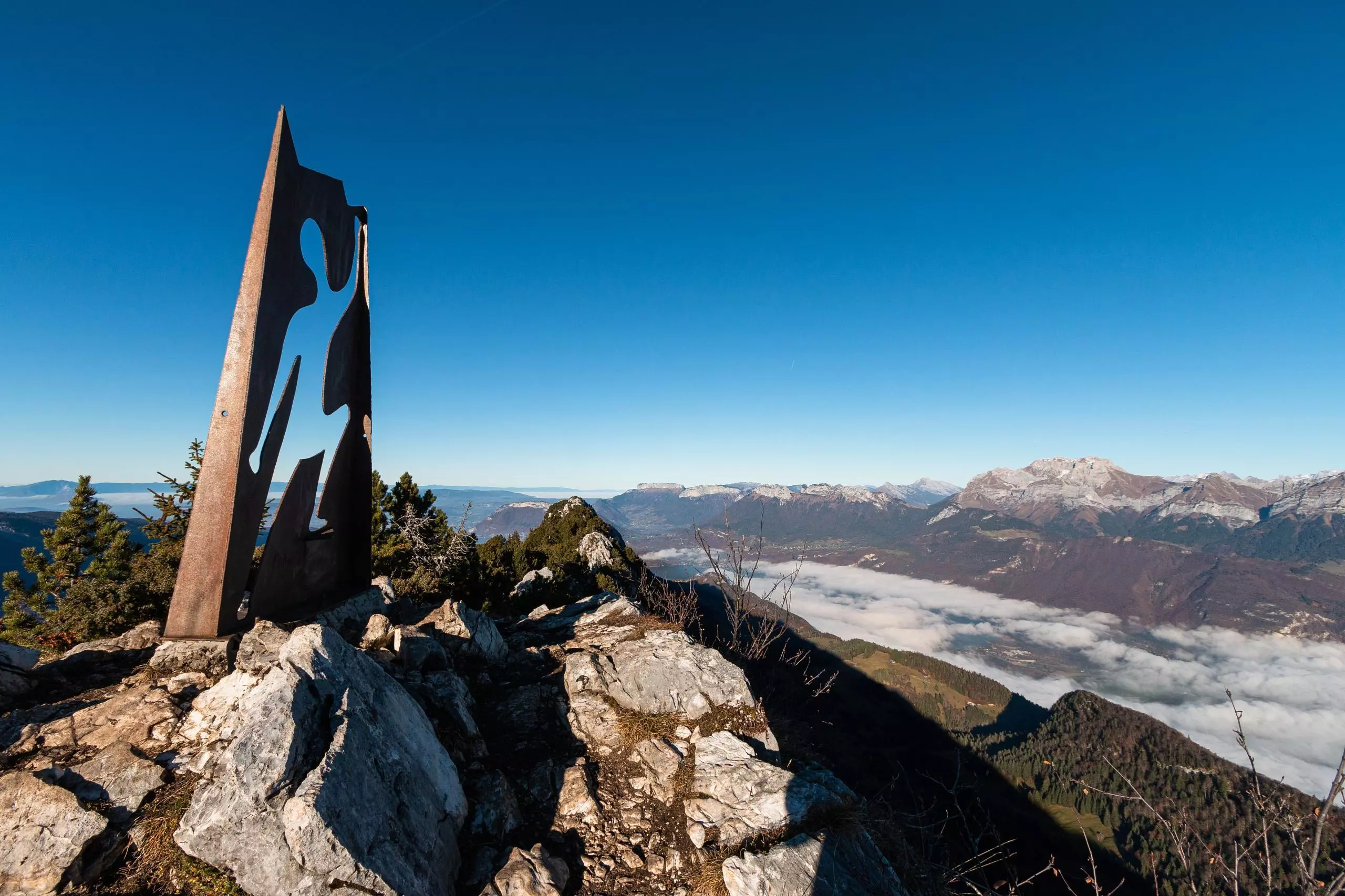
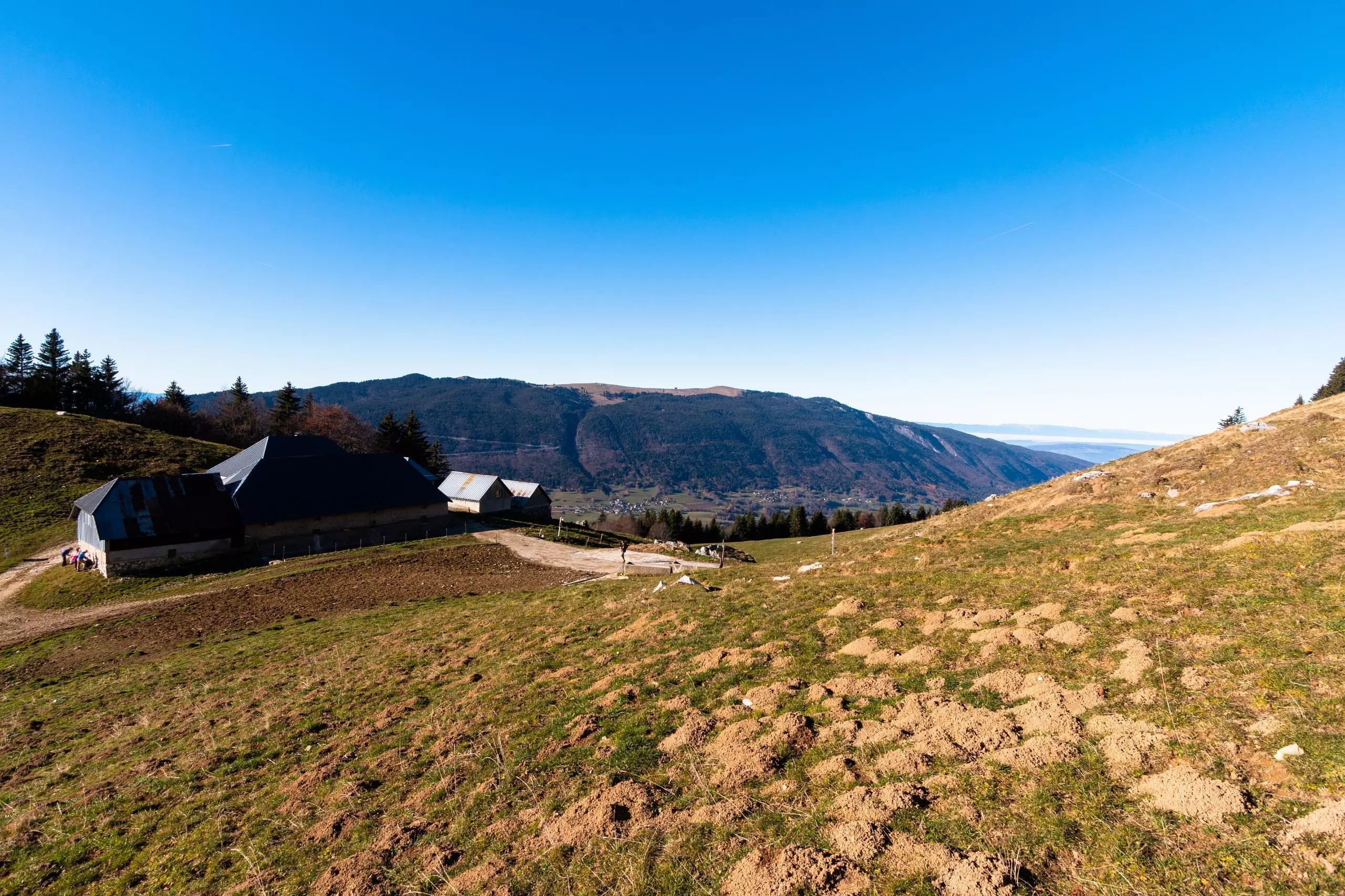
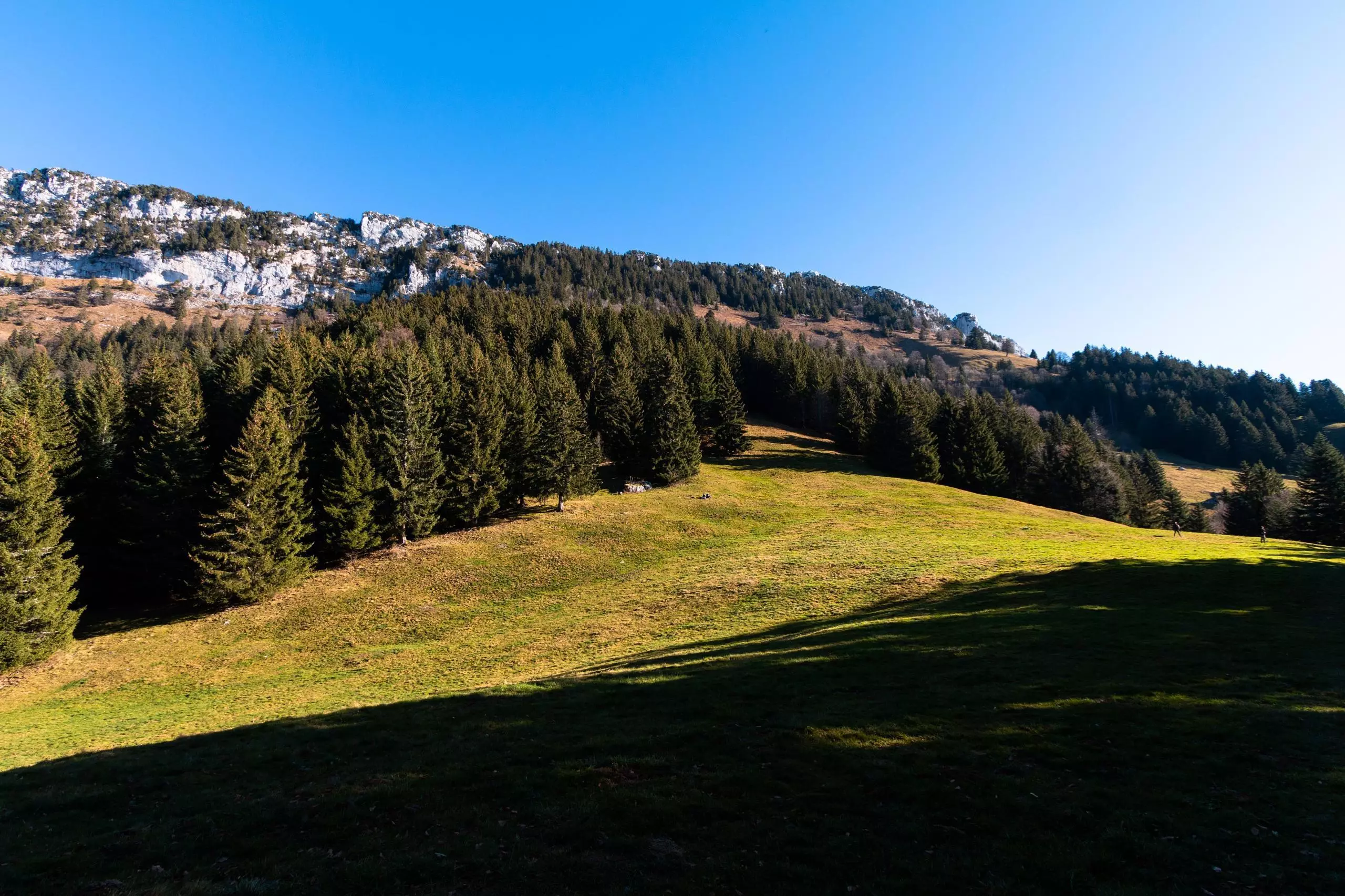
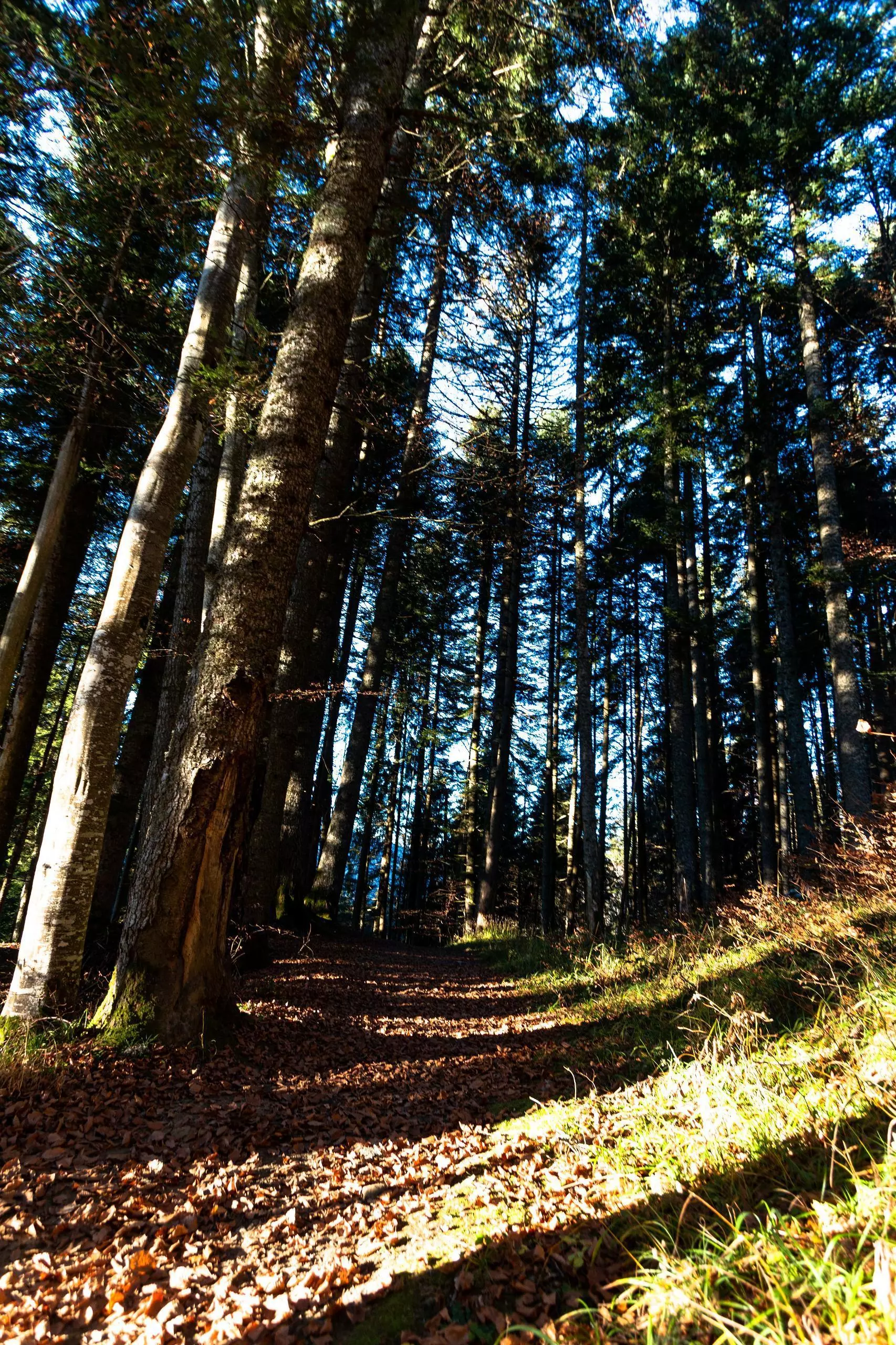
Park on the parking lot of the church of La Chapelle-Saint-Maurice. Take the road in front of the church which goes up to the left. Then follow all the time this road which passes by a cross and goes up in the mountain. The road becomes a track and then a path. There are only a few signs along this path (Col de la Frasse or Roc de Boeufs). The path crosses the marked path, continue straight on following the marks. The path arrives at the chalets of Solliet. Turn right towards Roc de Boeufs. The path goes rather to the left, be careful not to go to the right. Then follow the green dots to the top. The summit is very aerial, be careful once you arrive at the top. The sculpture is on the left at the top. Then go down by the same path to the farm then follow the marked path to the village.