MapPlanner
7.66mi
Distance
4h59m
Duration
+4508ft
Elevation gain
-4885ft
Elevation loss
Hard
Level

Le Pécloz par le Mont d'Armenaz

View on Albertville and Beaufort from the top of Armenaz
View on the Pécloz from the Armenaz
Impressive rock formations between Pécloz and Armenaz
View on the Mont-Blanc from the Pécloz
View on the Arcalod and on the right the Pointe de Chaurionde
Some chamois during the descent of the Pécloz

Route details

1.9mph
Speed
2483 kcal
Calories burned
23.2%
Avg grade
Loop trail
Route type
2920ft
Min altitude
7208ft
Max altitude
Steep climb

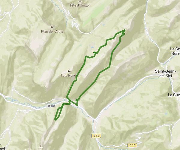
This hiking trail covers 7.66mi starting from École, Savoie. The hike is a loop trail and returns to the trailhead. This hike is rated as hard, plan for about 4h59m to complete it. The route has an elevation gain of 4508ft and an elevation loss of 4885ft.

Description of the route by the creator

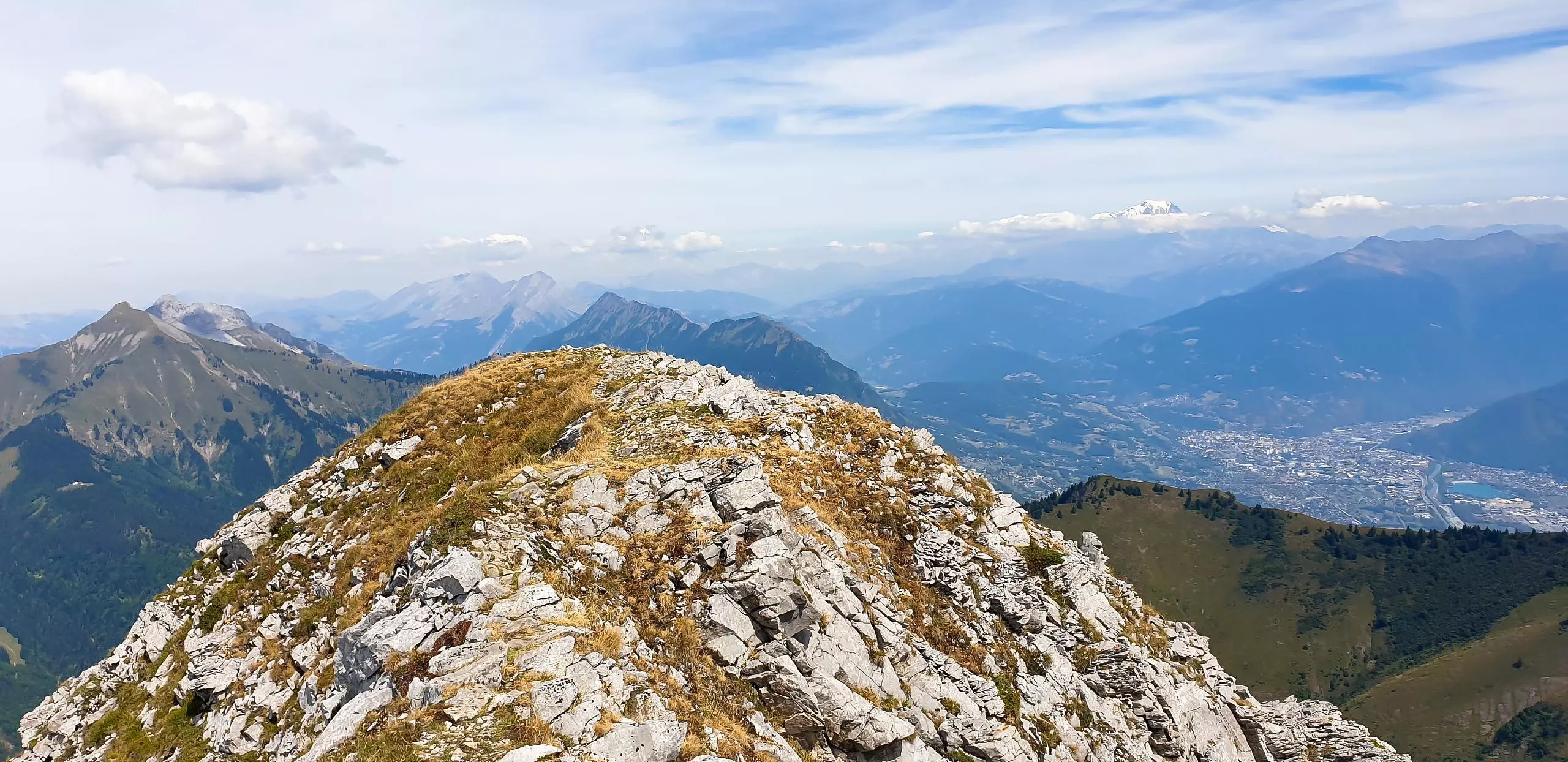
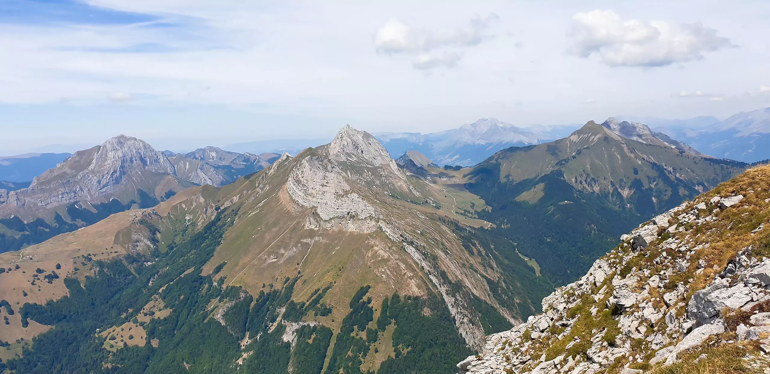
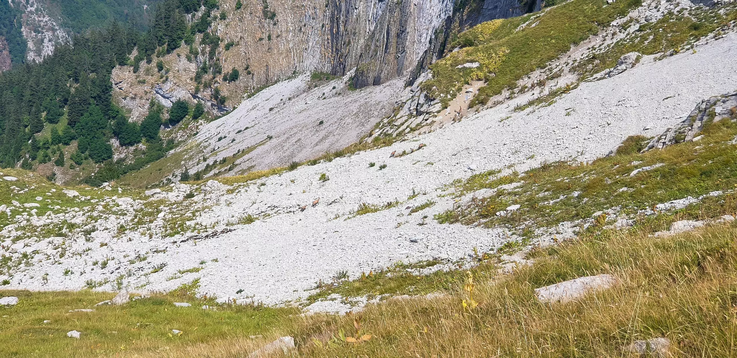
Park at the first large parking lot after the signs for the beginning of the nature park. The path begins by following the road to the old Bellevaux Abbey. Continue along the same path, following the river on the left. Then follow the signs to the Chalets des Gardes. Turn right to go up to the Mont d'Armenaz. Once at the top of the Mont d'Armenaz, go down towards the Pécloz and then up to the top of the Pécloz. Once at the top of Pécloz, you can either go down the previous path and join the chalets de Gardes or go straight down to join the parking. This last path is quite steep but without technical difficulties.

(Description automatically translated)

Route profile

4508ft
Elevation gain
4885ft
Elevation loss
2920ft
Min altitude
7208ft
Max altitude

How to get there

Trailhead: 73630, École, Savoie, France

GPS coordinates of the trailhead: 45.63847, 6.20393 / 45°38'18'' N, 6°12'14'' E

Caution: May Cross Private Property

This route may pass through or near private property. Always respect posted signs, obtain permission where required, and follow local trespassing laws. MapPlanner does not guarantee public access along any route.

Safety Notice

Trail and road conditions may change without notice due to weather, construction, or other factors. Always verify current conditions before heading out. You are responsible for your own safety — follow local signage, obey traffic laws, and use your best judgment on the trail.