MapPlanner
10.936mi
Distance
5h49m
Duration
+5010ft
Elevation gain
-4987ft
Elevation loss
Hard
Level

La Belle-Étoile depuis le Fort de Tamié

The former water catchment for Tamié Abbey
The start of the path through the forest
A welcome river!
A welcome river!
View of Lake Annecy and La Tournette to the right
The cross at the summit of Belle-Étoile
The southern Bauges massif
Looking north: La dent de Cons
An enfilade view of Lake Annecy on the descent

Route details

2.11mph
Speed
2797 kcal
Calories burned
17.3%
Avg grade
Loop trail
Route type
2874ft
Min altitude
6024ft
Max altitude
Steep climb

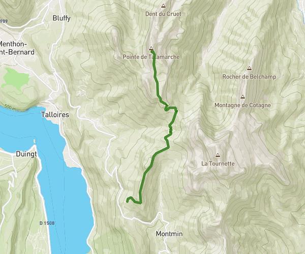
This hiking trail covers 10.936mi starting from Mercury, Savoie. The hike is a loop trail and returns to the trailhead. This hike is rated as hard, plan for about 5h49m to complete it. The route has an elevation gain of 5010ft and an elevation loss of 4987ft.

Description of the route by the creator

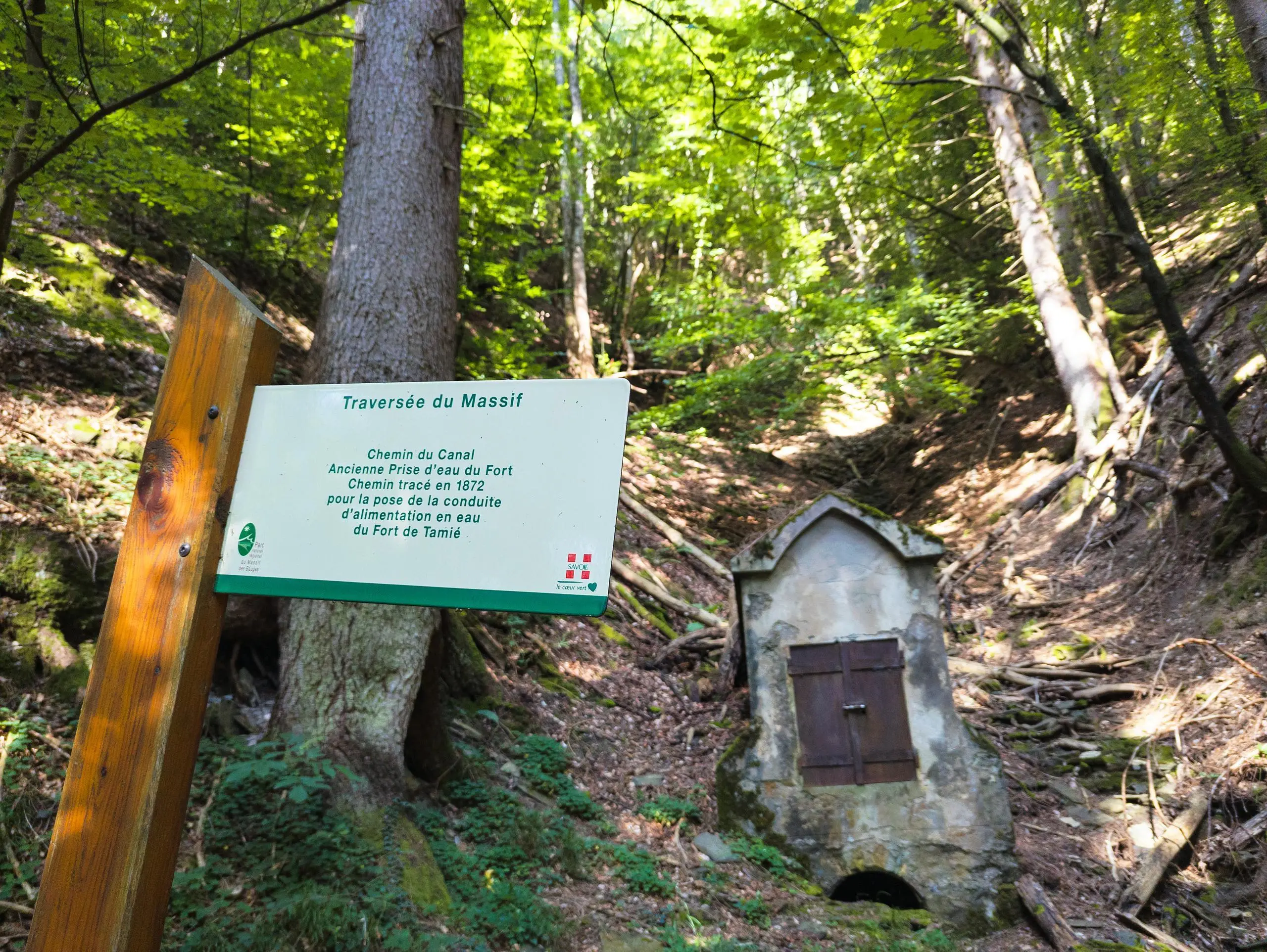
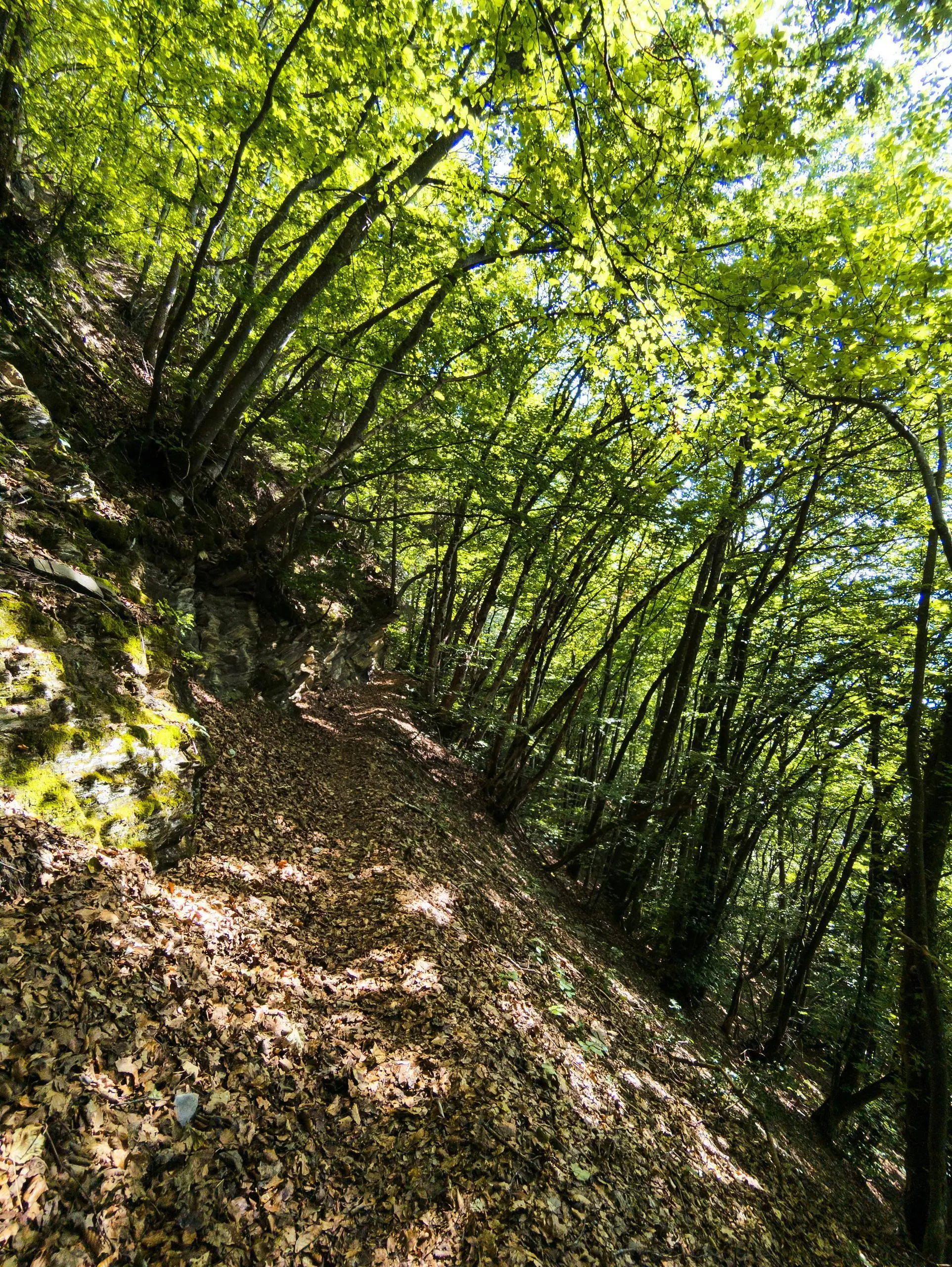
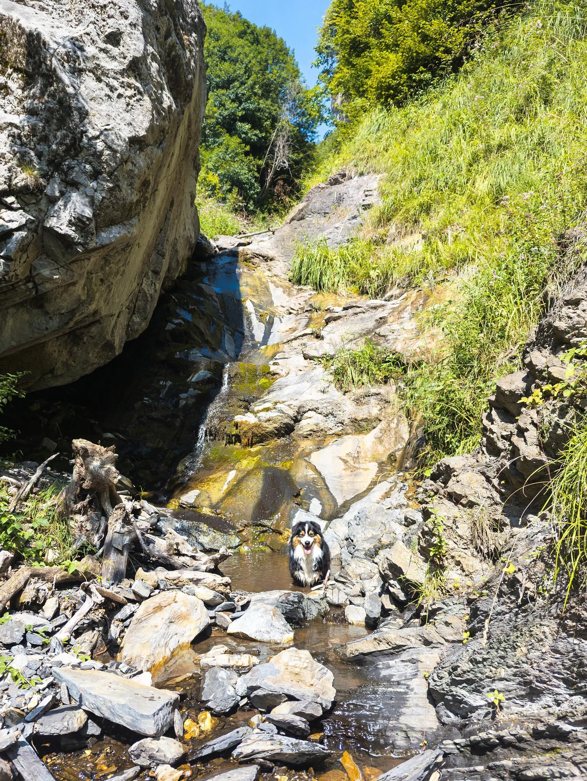
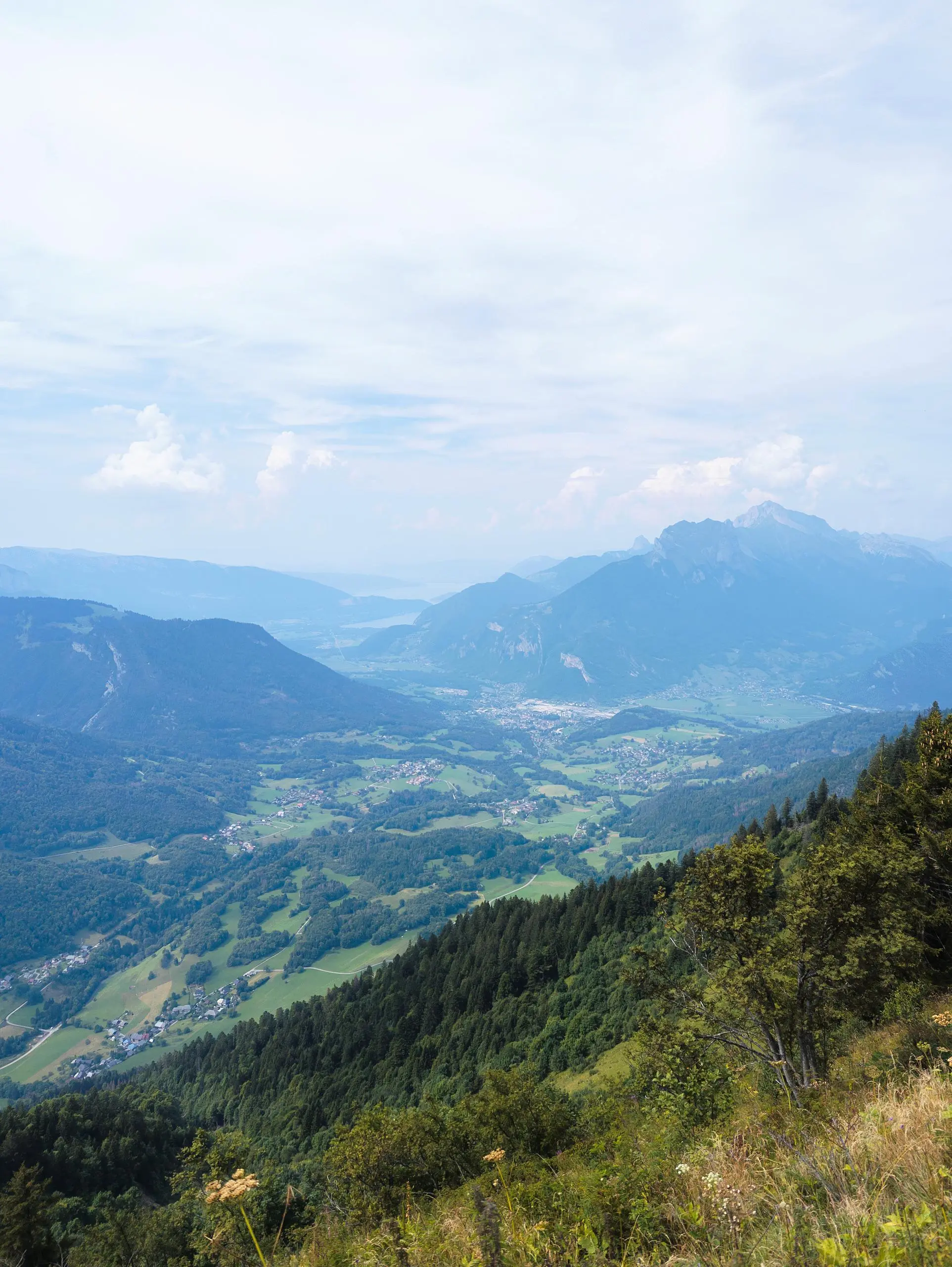
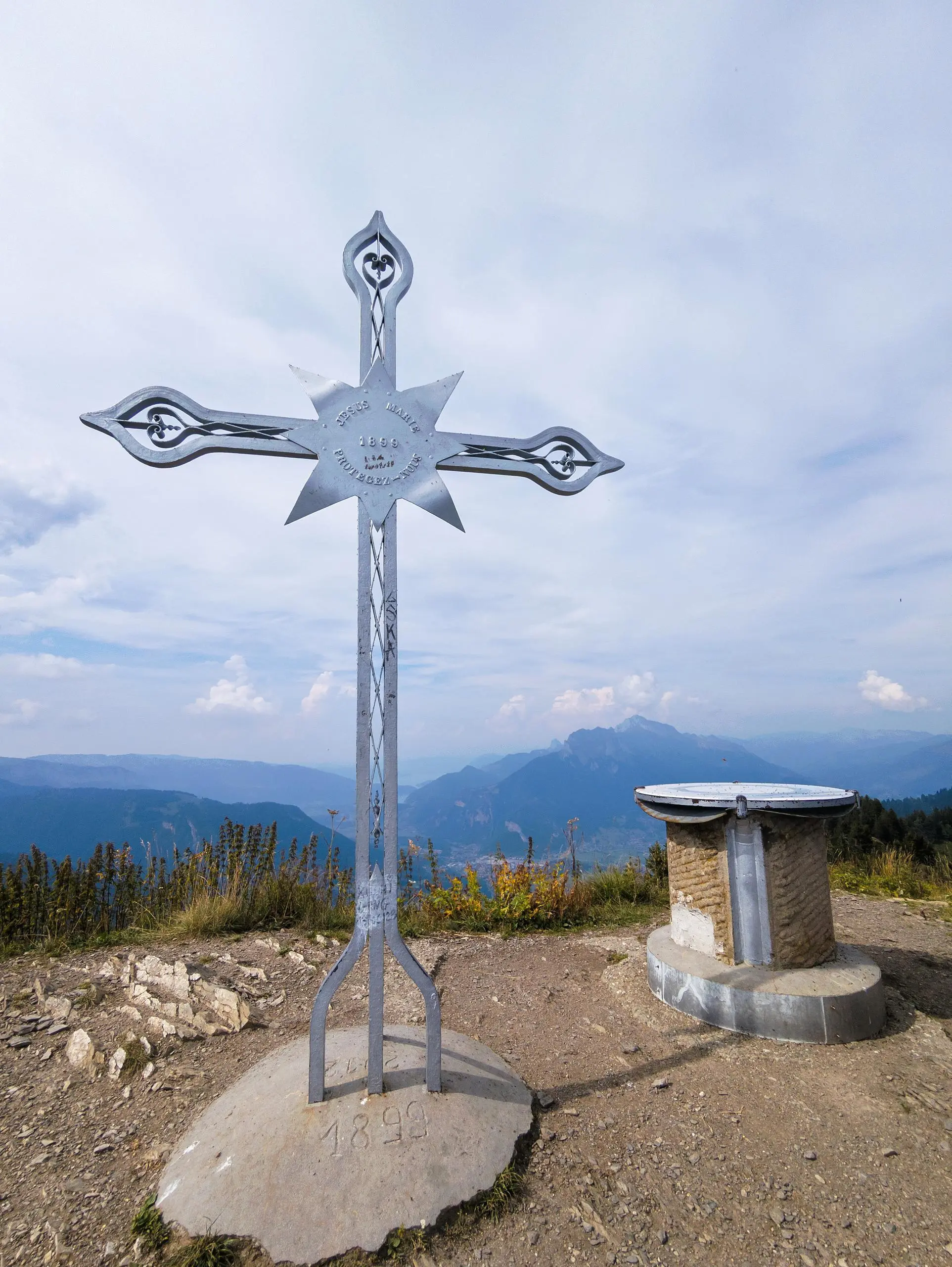
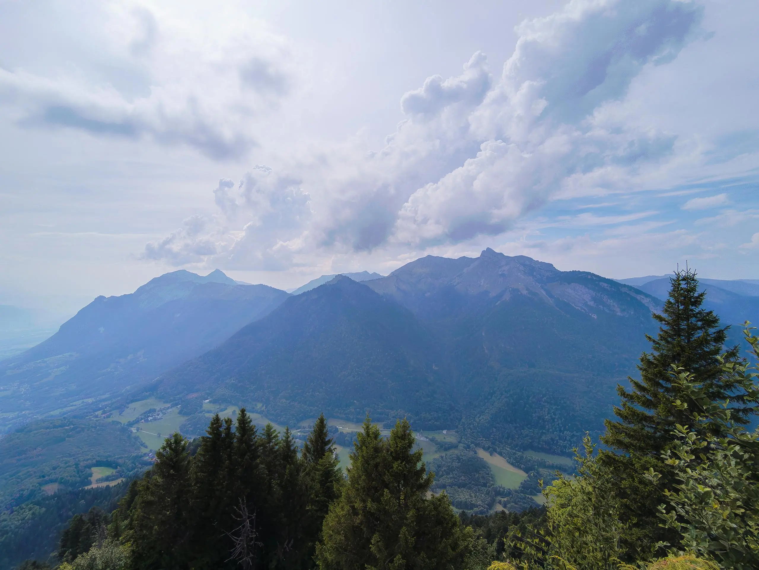
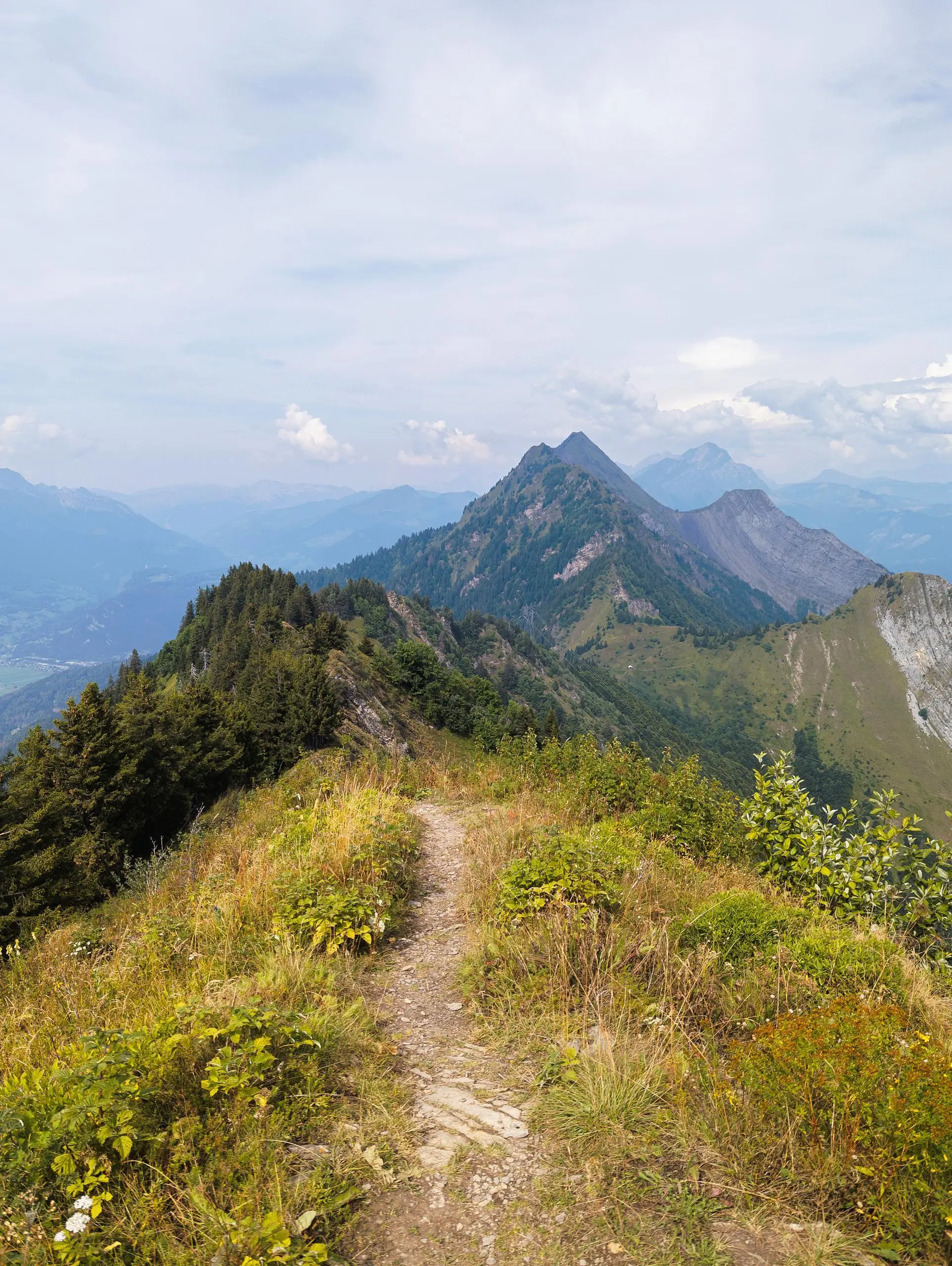
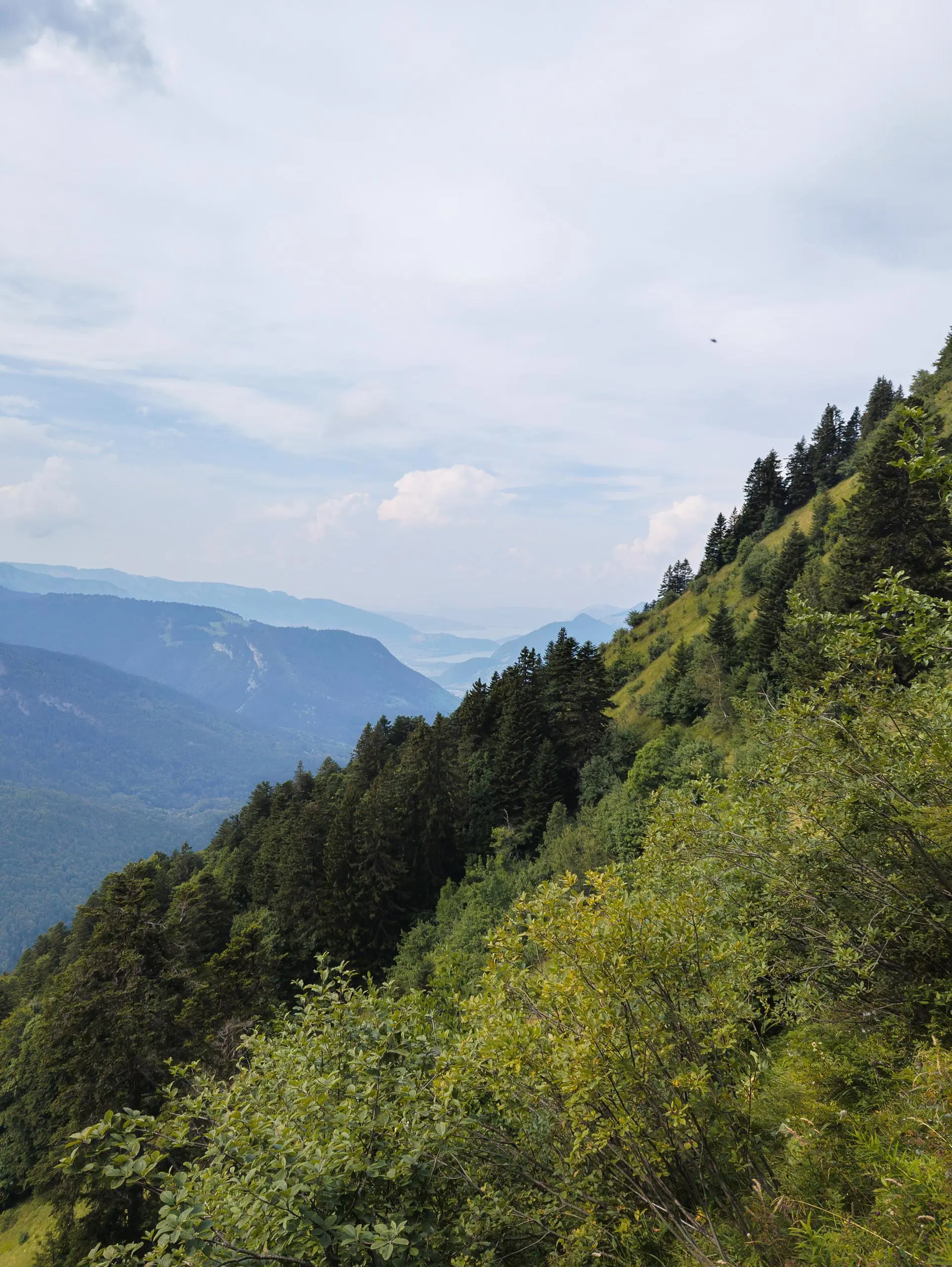
Park at the Fort de Tamié parking lot. Turn left around the fort to reach the viewpoint over Albertville. Turn left to cross the road and continue along the path to the right. Follow the signs to La Frasse. You will pass the former watering place of the Abbey of Tamié. Just before you reach the La Frasse parking lot, turn left to reach the Col de l'Alpette. You can then make a return trip to the Roc Rouge or continue uphill towards Belle-Étoile. The path then follows the mountain ridge, and there are a few rungs to help you climb the small walls. Finally, descend towards Fort de Tamié. Join the road that leads directly back to the fort.

(Description automatically translated)

Route profile

5010ft
Elevation gain
4987ft
Elevation loss
2874ft
Min altitude
6024ft
Max altitude

How to get there

Trailhead: 162 Route Du Collet De Tamié, 73200 Mercury, France

GPS coordinates of the trailhead: 45.67266, 6.31098 / 45°40'21'' N, 6°18'39'' E

Caution: May Cross Private Property

This route may pass through or near private property. Always respect posted signs, obtain permission where required, and follow local trespassing laws. MapPlanner does not guarantee public access along any route.

Safety Notice

Trail and road conditions may change without notice due to weather, construction, or other factors. Always verify current conditions before heading out. You are responsible for your own safety — follow local signage, obey traffic laws, and use your best judgment on the trail.