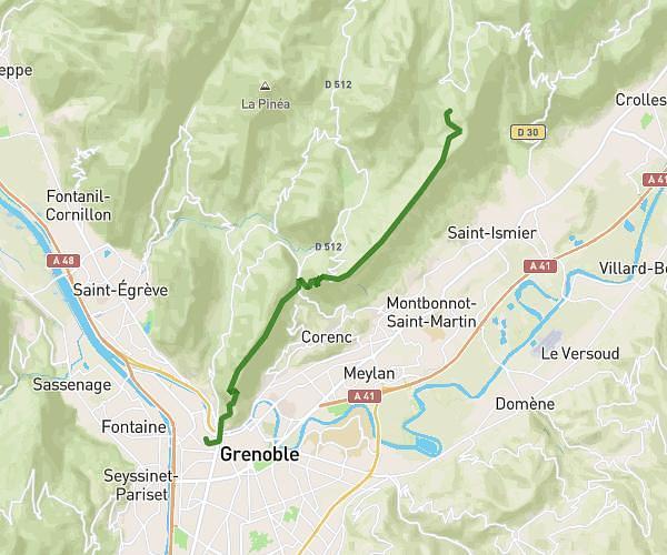
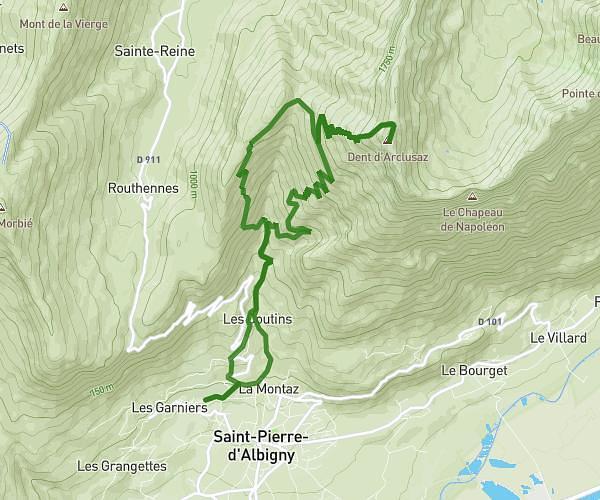
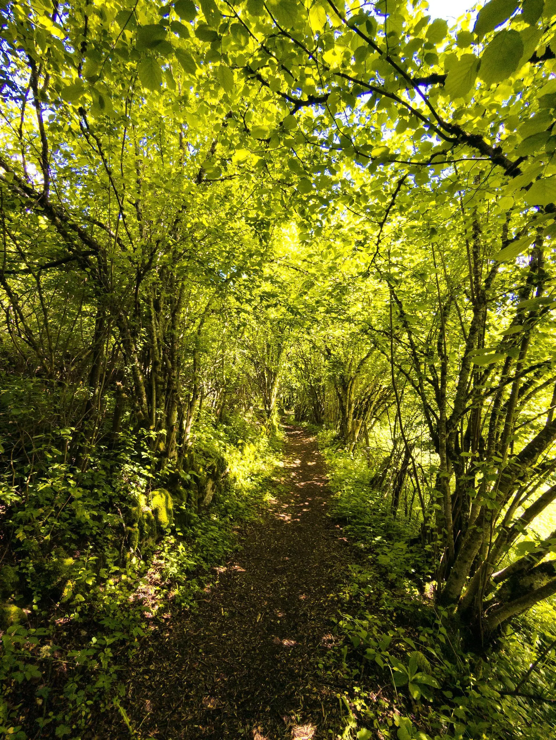
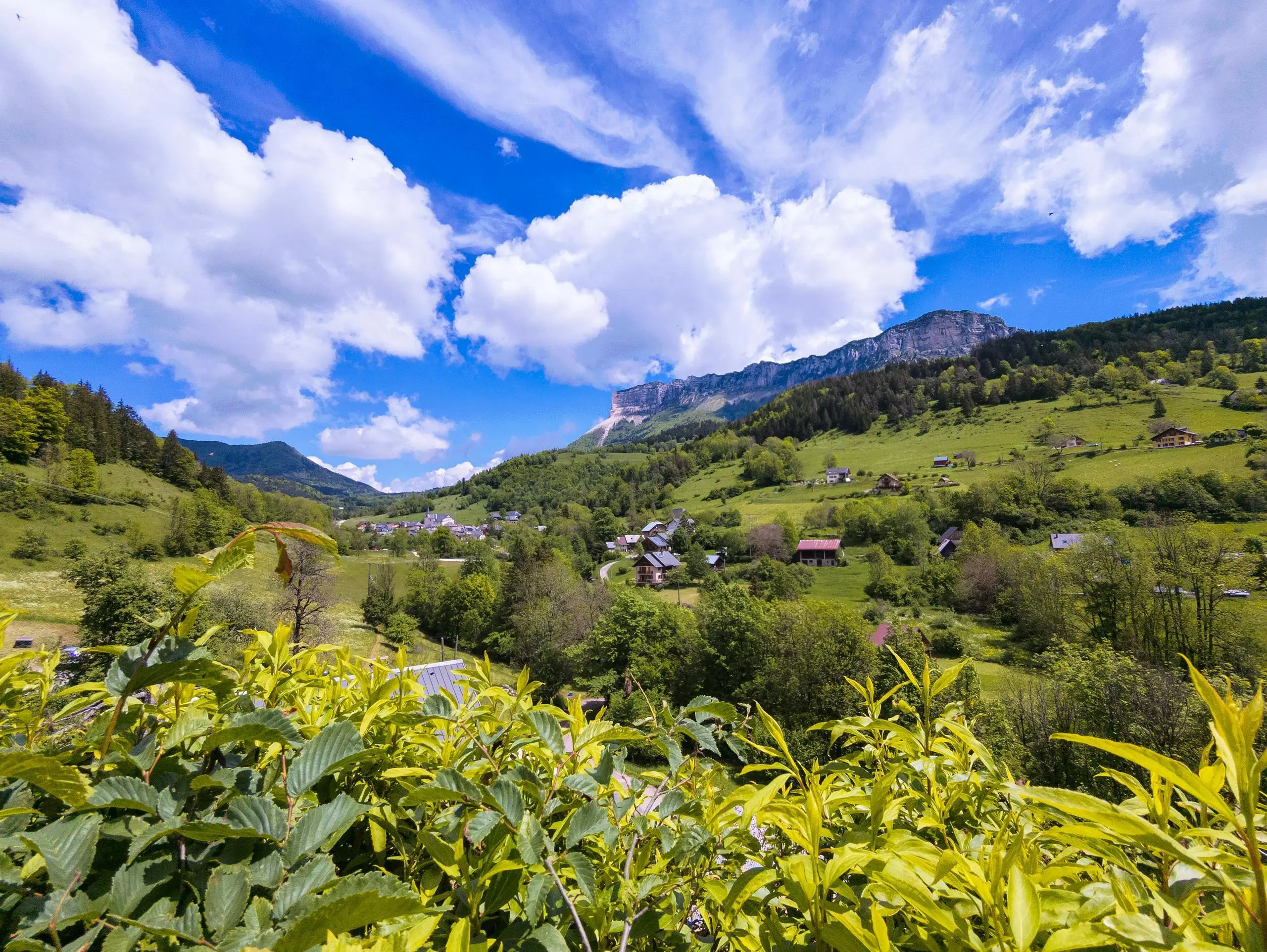
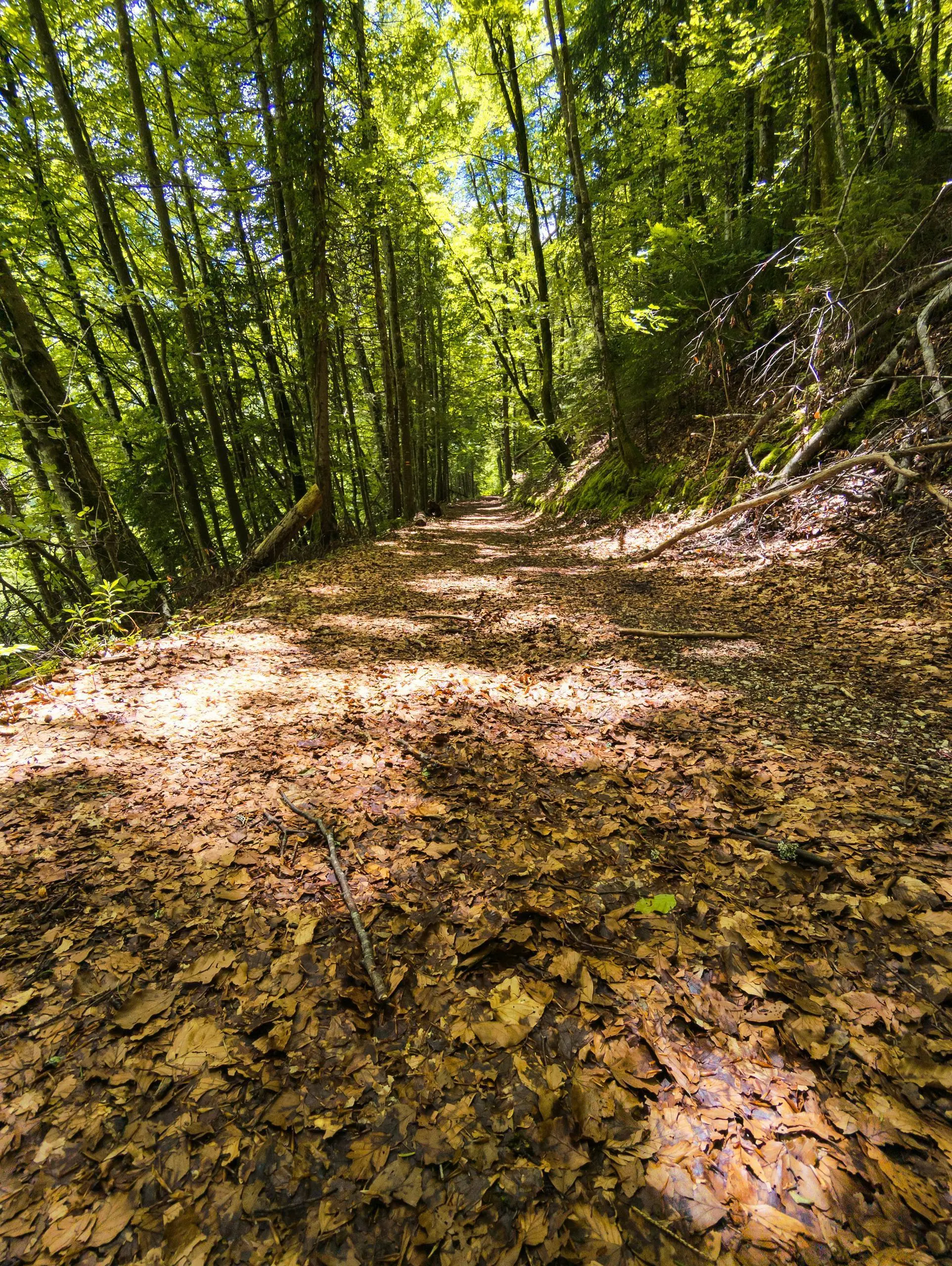
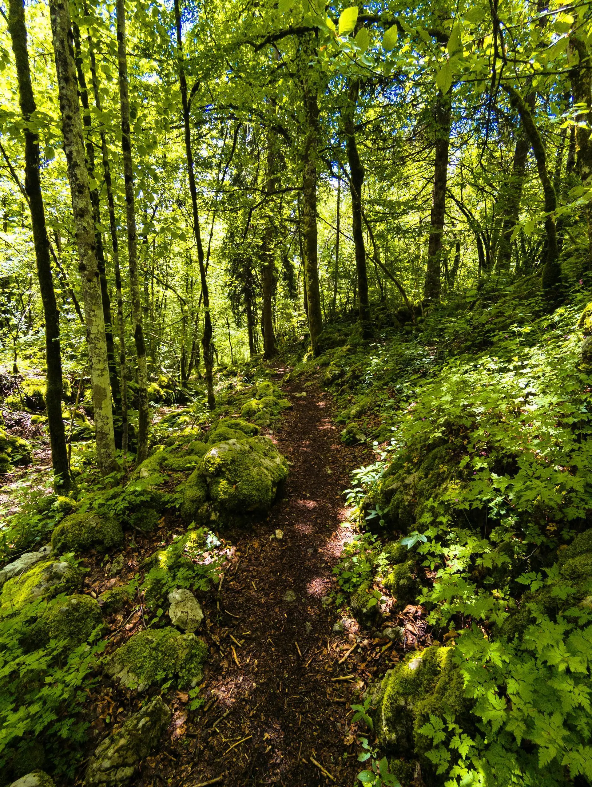
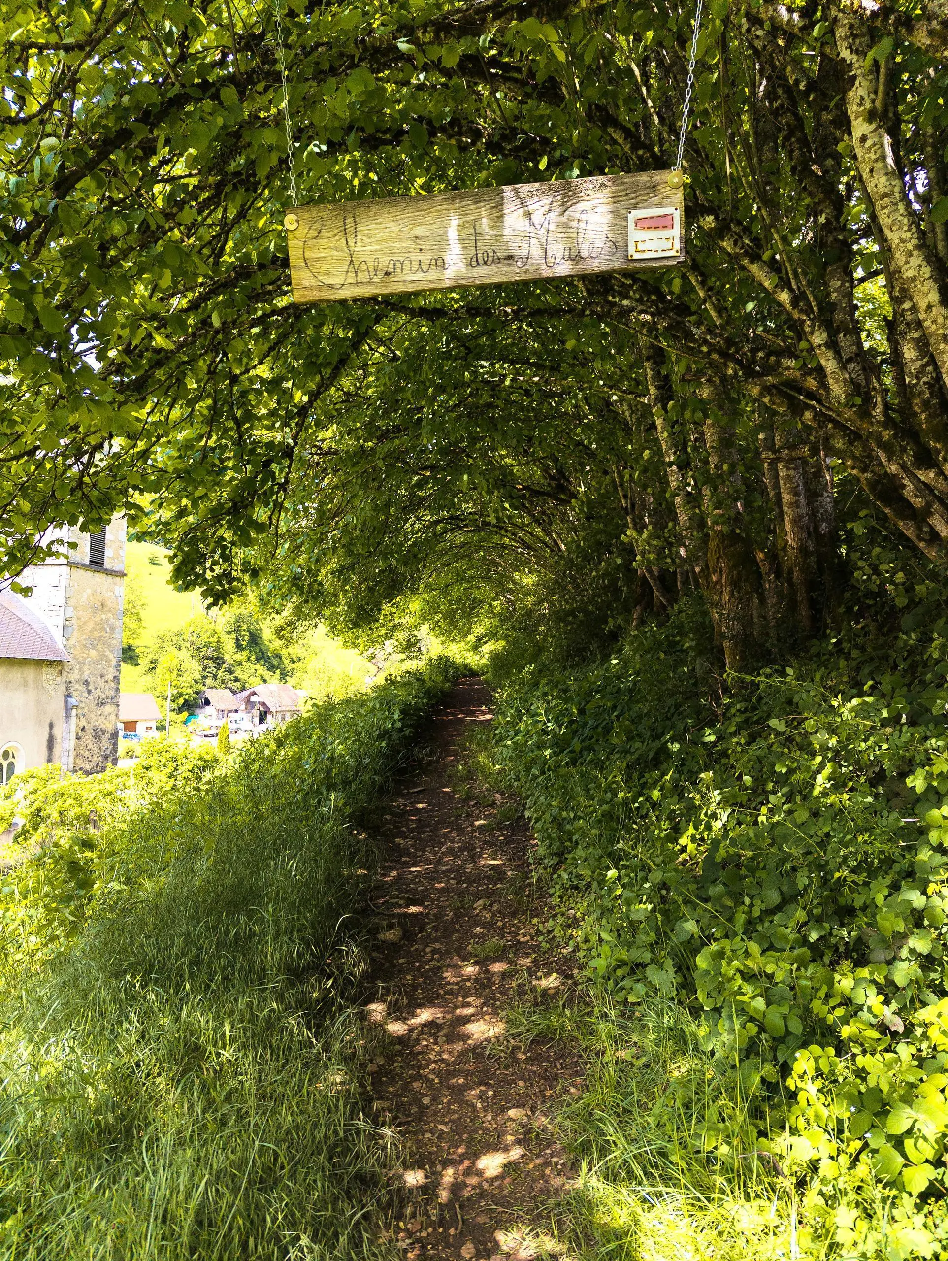
MapPlanner
6,383mi
Distance
3h52m
Duration
1,65mph
Speed
1916ft
Elevation +
1916ft
Elevation -
2113ft
Min altitude
3031ft
Max altitude

Chartreuse : Le sentier du Cozon

Route details

Explore this hiking route of 6,383mi starting from Saint-Pierre-d'Entremont, Savoie. The hike is a loop and returns to the starting point. This hike has no defined difficulty level, plan for about 3h52m to complete it. The route has a positive elevation gain of 1916ft and a negative elevation loss of 1916ft.

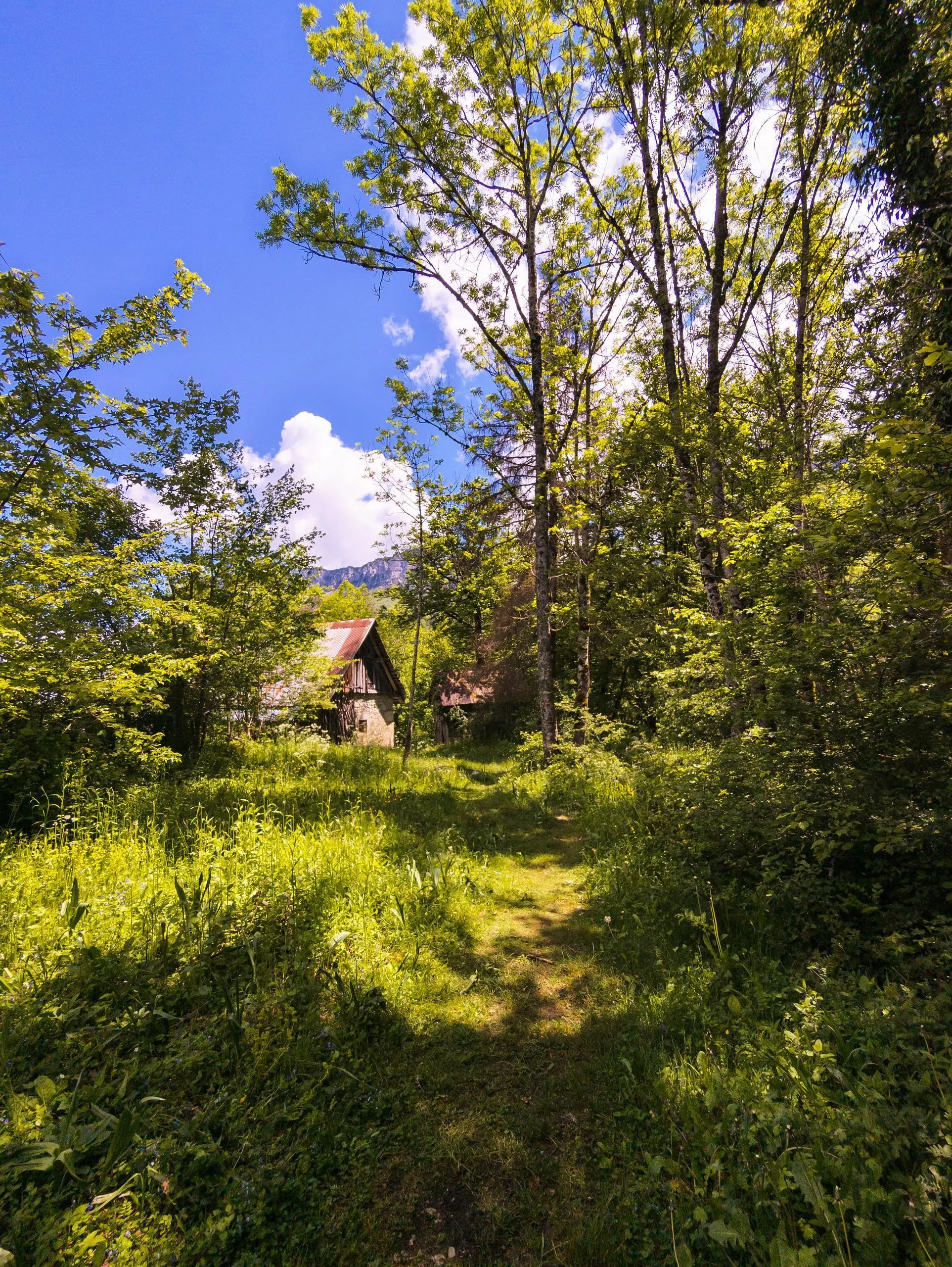
Description of the route by the creator

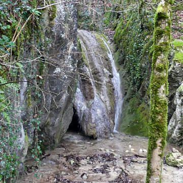
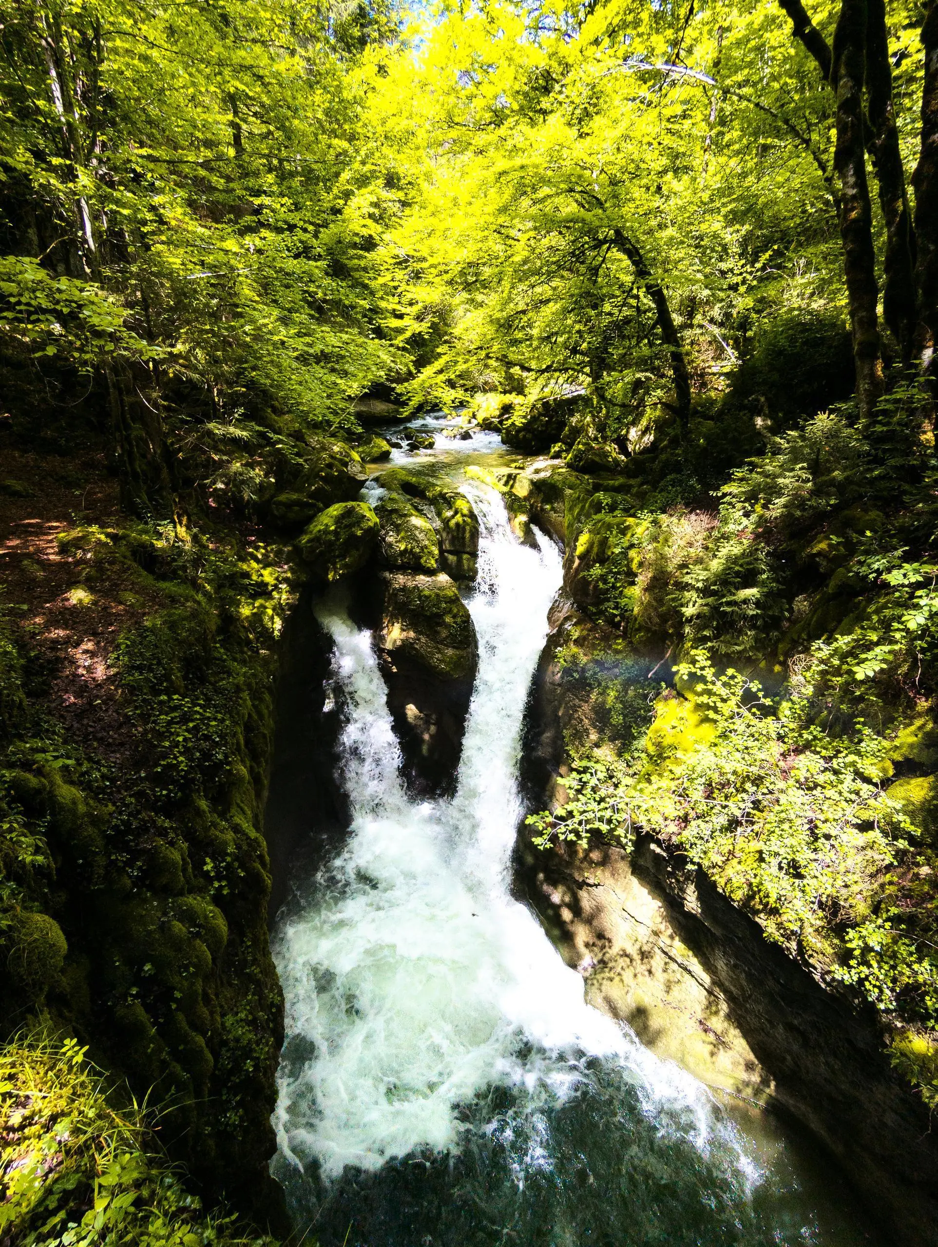
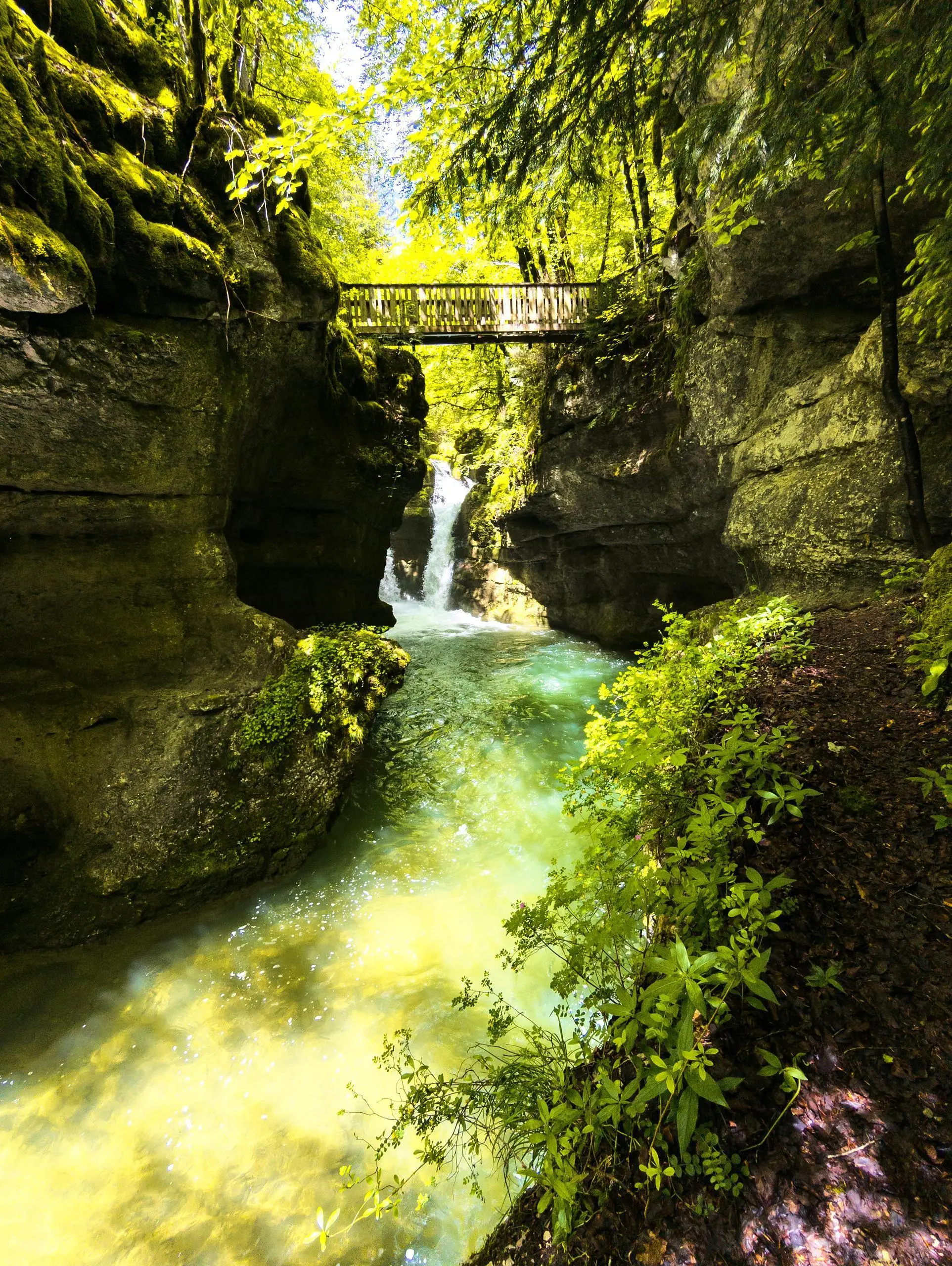
A lovely, easy route along part of the Le Cozon river, taking in several waterfalls.

(Description automatically translated)

Route profile

1916ft
Elevation +
1916ft
Elevation -
2113ft
Min altitude
3031ft
Max altitude

How to get there

Route starting point: Route Des Entremonts, 73670 Saint-Pierre-d'Entremont

GPS coordinates of the starting point: 45.41718, 5.85454 / 45°25'1'' N, 5°51'16'' E