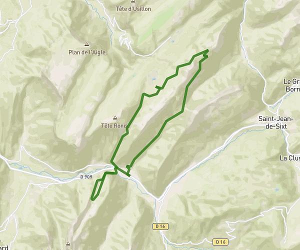
This hiking trail covers 5.065mi starting from Le Châtelard, Savoie. The hike does not return to the trailhead and ends near 73630, École, Savoie, France. This hike is rated as hard, plan for about 4h38m to complete it. The route has an elevation gain of 4514ft and an elevation loss of 1660ft.
Description of the route by the creator
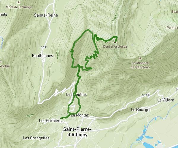
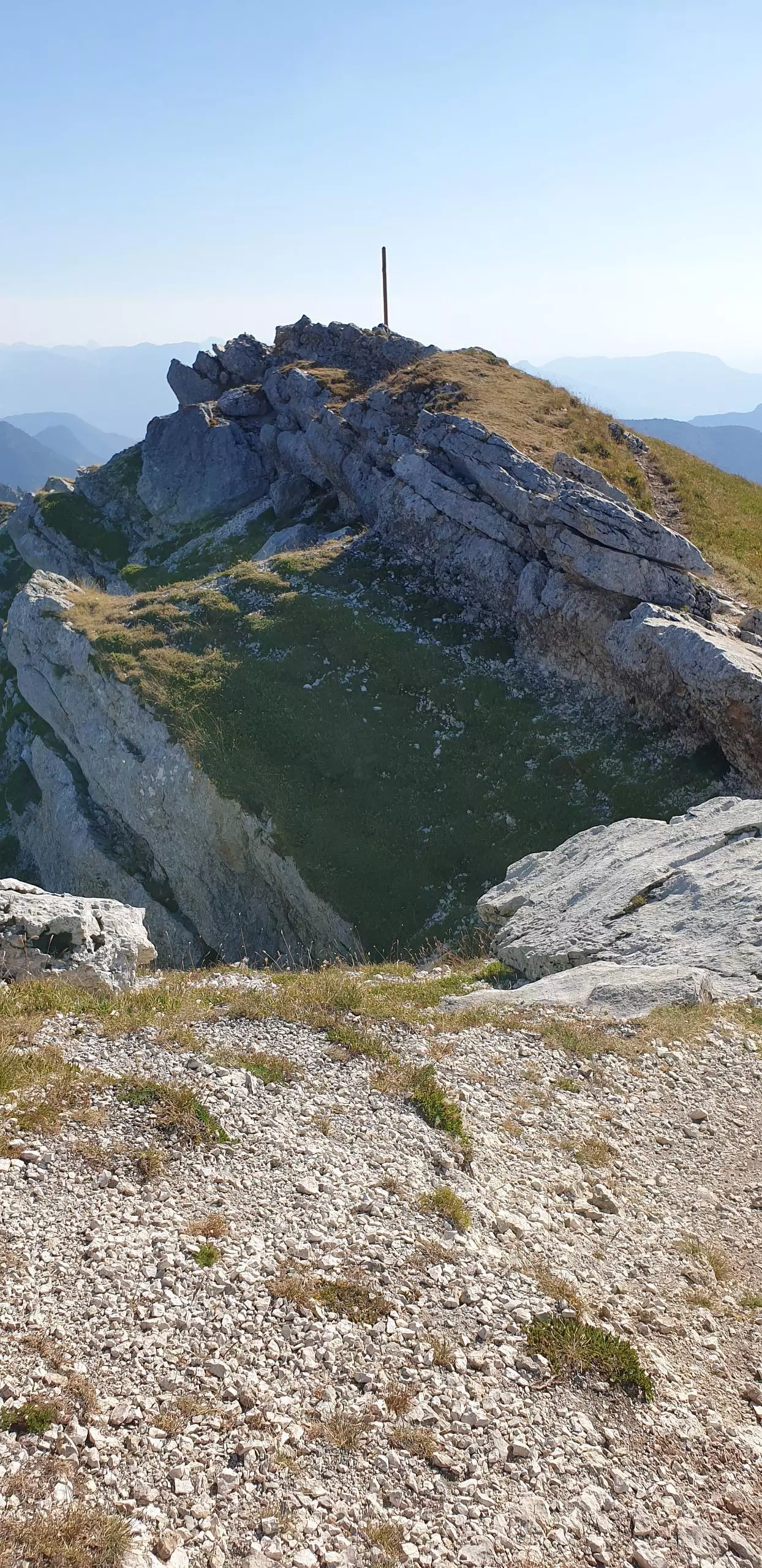
Park on the small parking lot at Montlardier near the watering hole. The path is well indicated by the signs to the top of the Colombier. Then descend from the south side to the chalet de la Fullie.