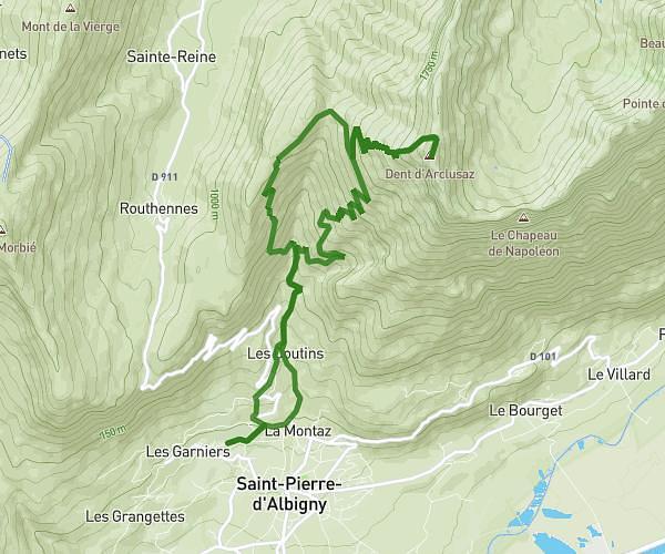
MapPlanner
10,194mi
Distance
5h44m
Duration
2,07mph
Speed
4987ft
Elevation +
4934ft
Elevation -
3304ft
Min altitude
7106ft
Max altitude

Pointe de Chaurionde depuis le Nant Fourchu

View on the Chaurionde and the Arcalod while climbing
Chalet du Drison and the Mont-Blanc in the background
Lake Annecy and Tournette from the Chaurionde
The Mont-Blanc and the Alps from the Chaurionde
The Vercors from the Chaurionde

Route details

Explore this hiking route of 10,194mi starting from Jarsy, Savoie. The hike is a loop and returns to the starting point. This hike has no defined difficulty level, plan for about 5h44m to complete it. The route has a positive elevation gain of 4987ft and a negative elevation loss of 4934ft.

Description of the route by the creator

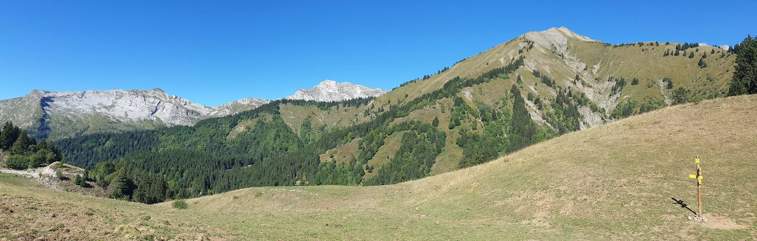
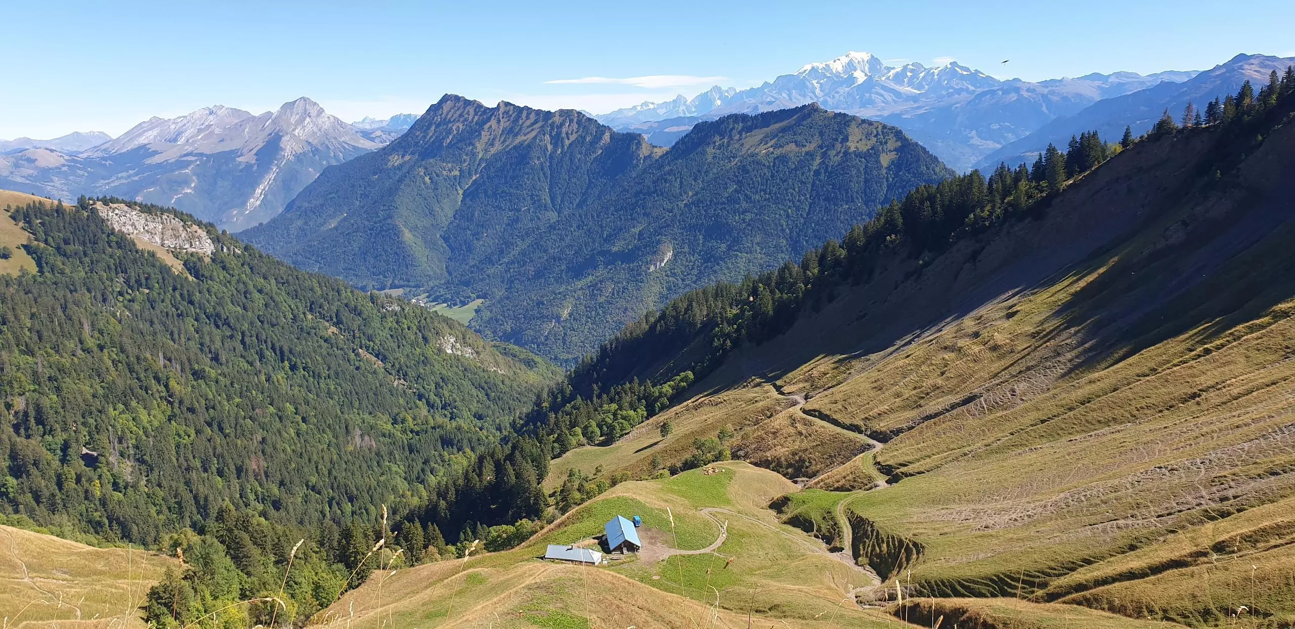
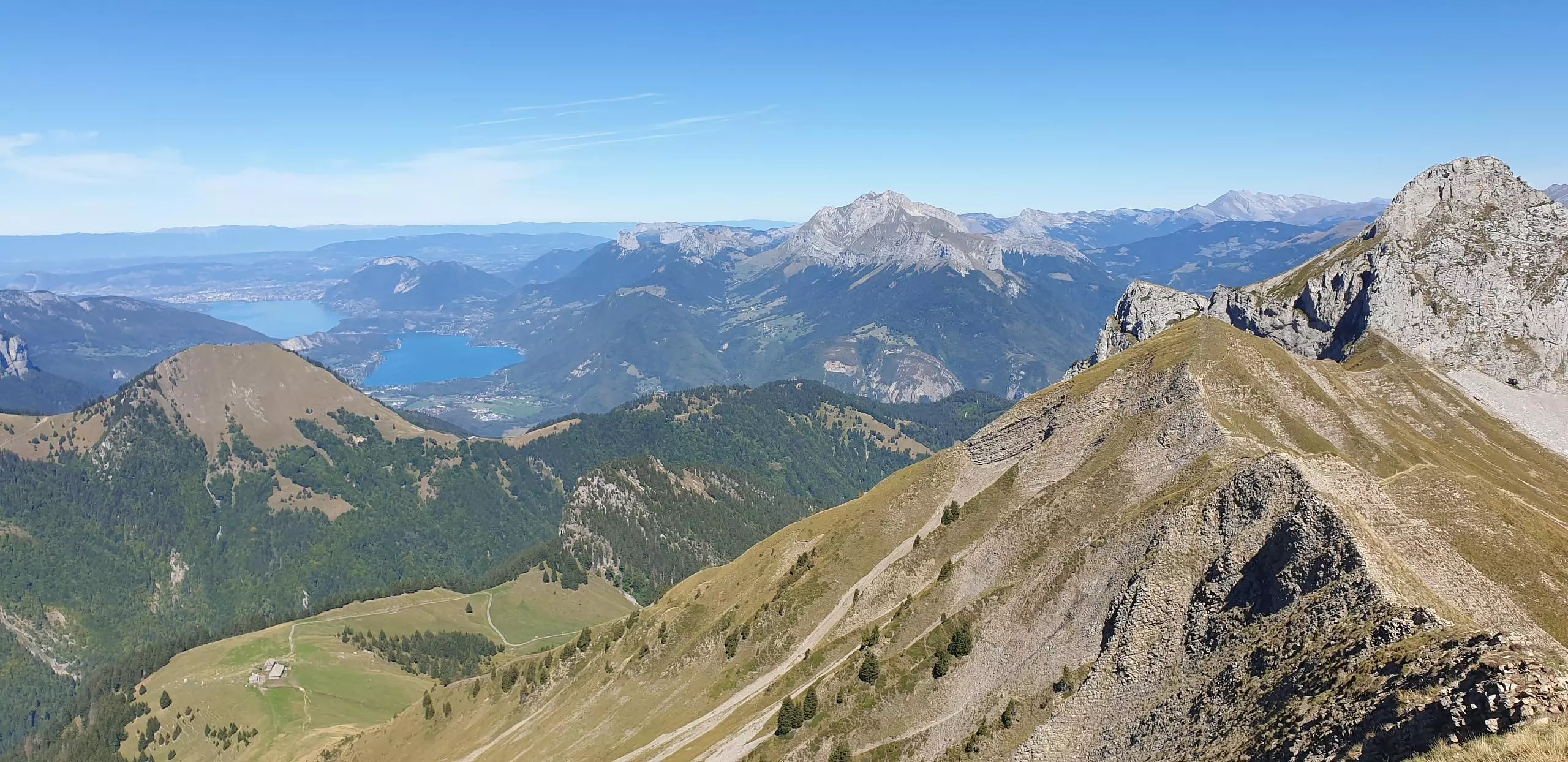
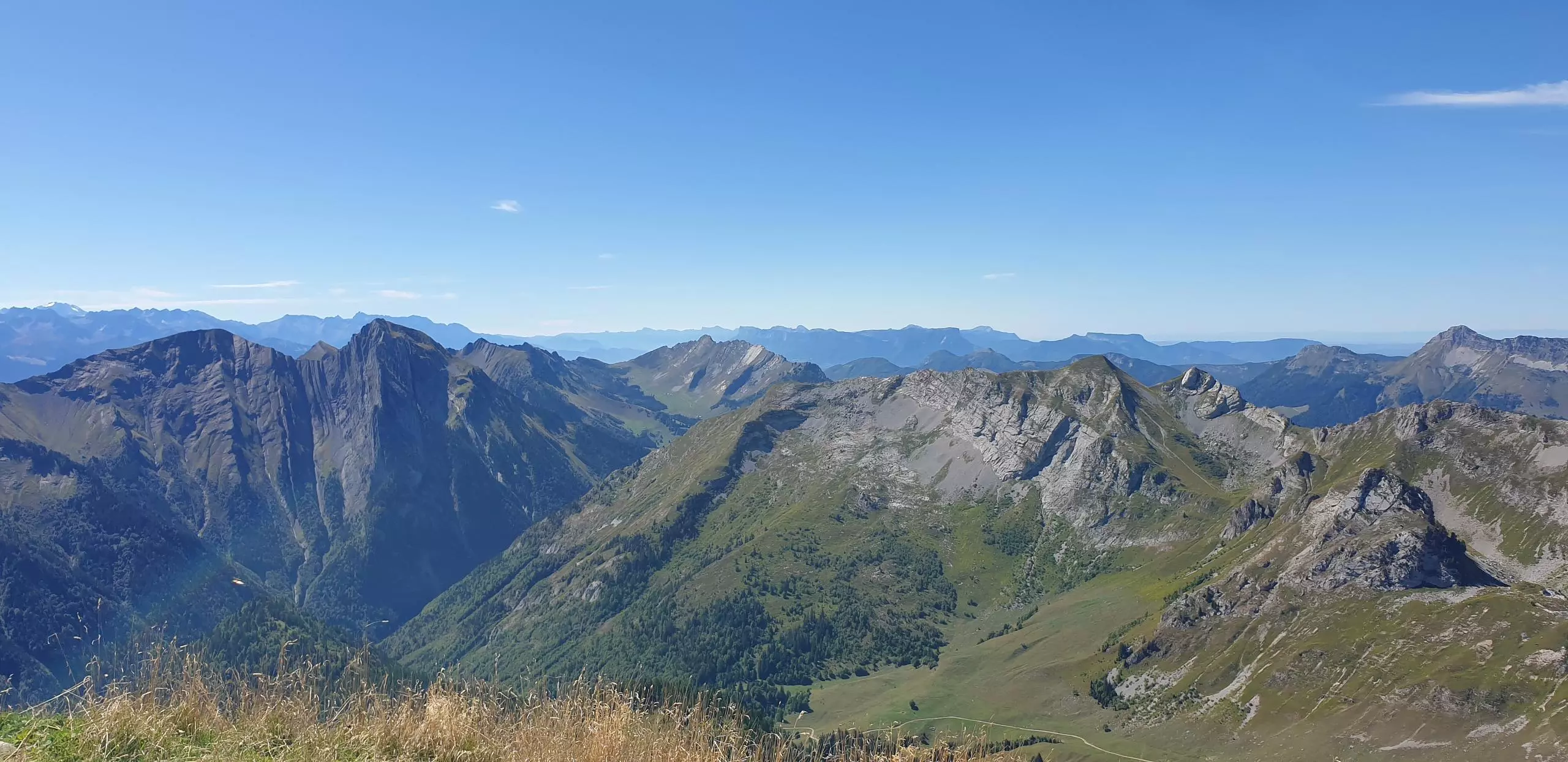
Park on the last parking lot at Nant Fourchu. Follow the road on foot then take the path on the right indicated by the sign Chalet du Haut Four. Then follow the signs that indicate the direction to the Pointe de Chaurionde. Go down towards the Arcalod. The ascent of the Arcalod requires the use of hands and some climbing. The climb is long and only for experienced climbers. Go back down to the parking lot passing by the chalets of Orgeval, follow the main path.

(Description automatically translated)
Bauges

Route profile

4987ft
Elevation +
4934ft
Elevation -
3304ft
Min altitude
7106ft
Max altitude

How to get there

Route starting point: 73630 Jarsy

GPS coordinates of the starting point: 45.64596, 6.2363 / 45°38'45'' N, 6°14'10'' E