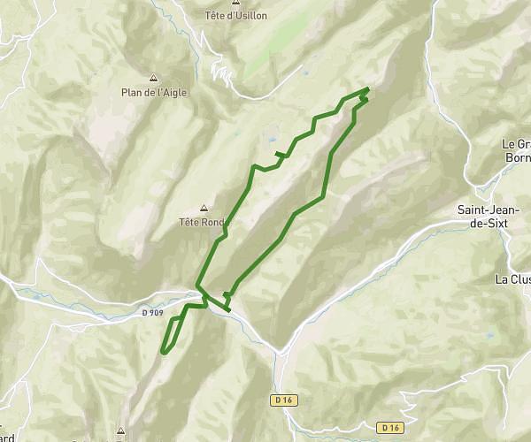
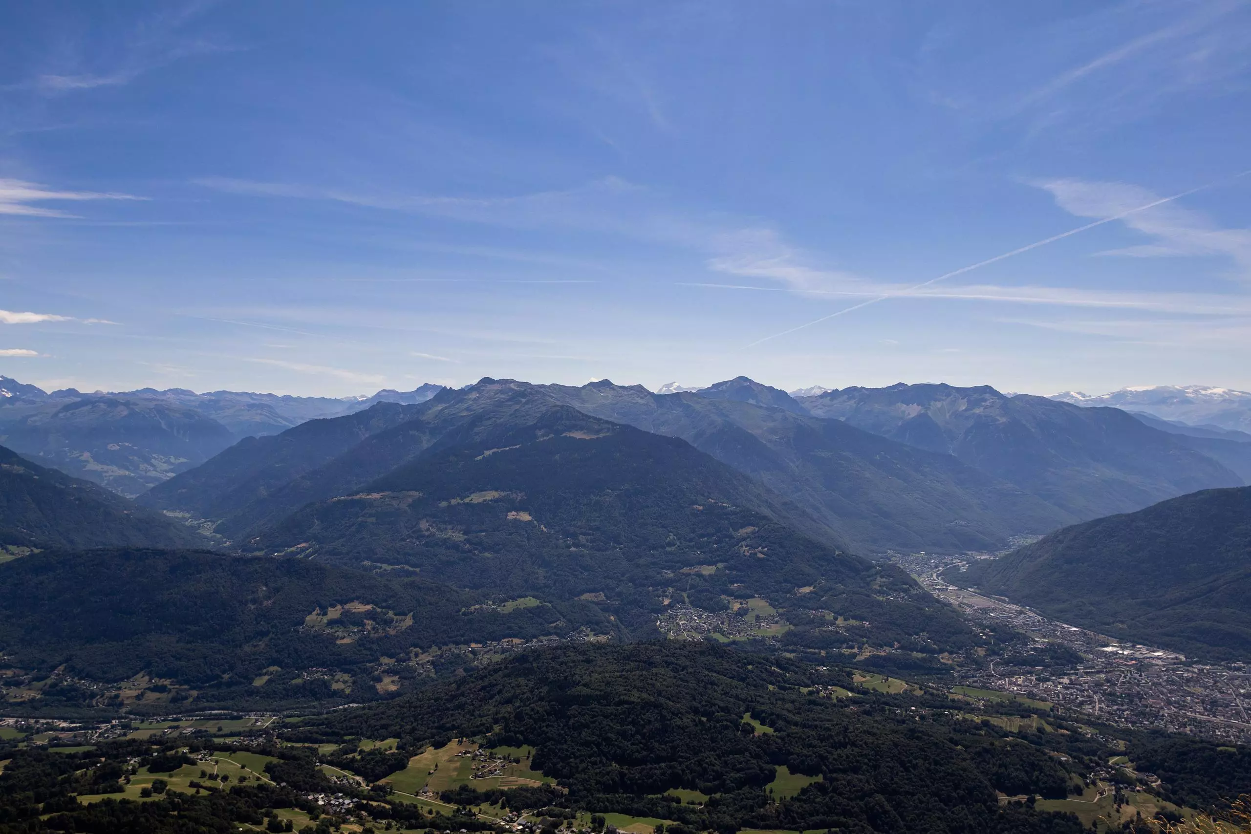
This hiking trail covers 12.353mi starting from Faverges-Seythenex, Haute-Savoie. The hike is a loop trail and returns to the trailhead. This hike is rated as strenuous, plan for about 10h51m to complete it. The route has an elevation gain of 5594ft and an elevation loss of 5620ft.
Description of the route by the creator
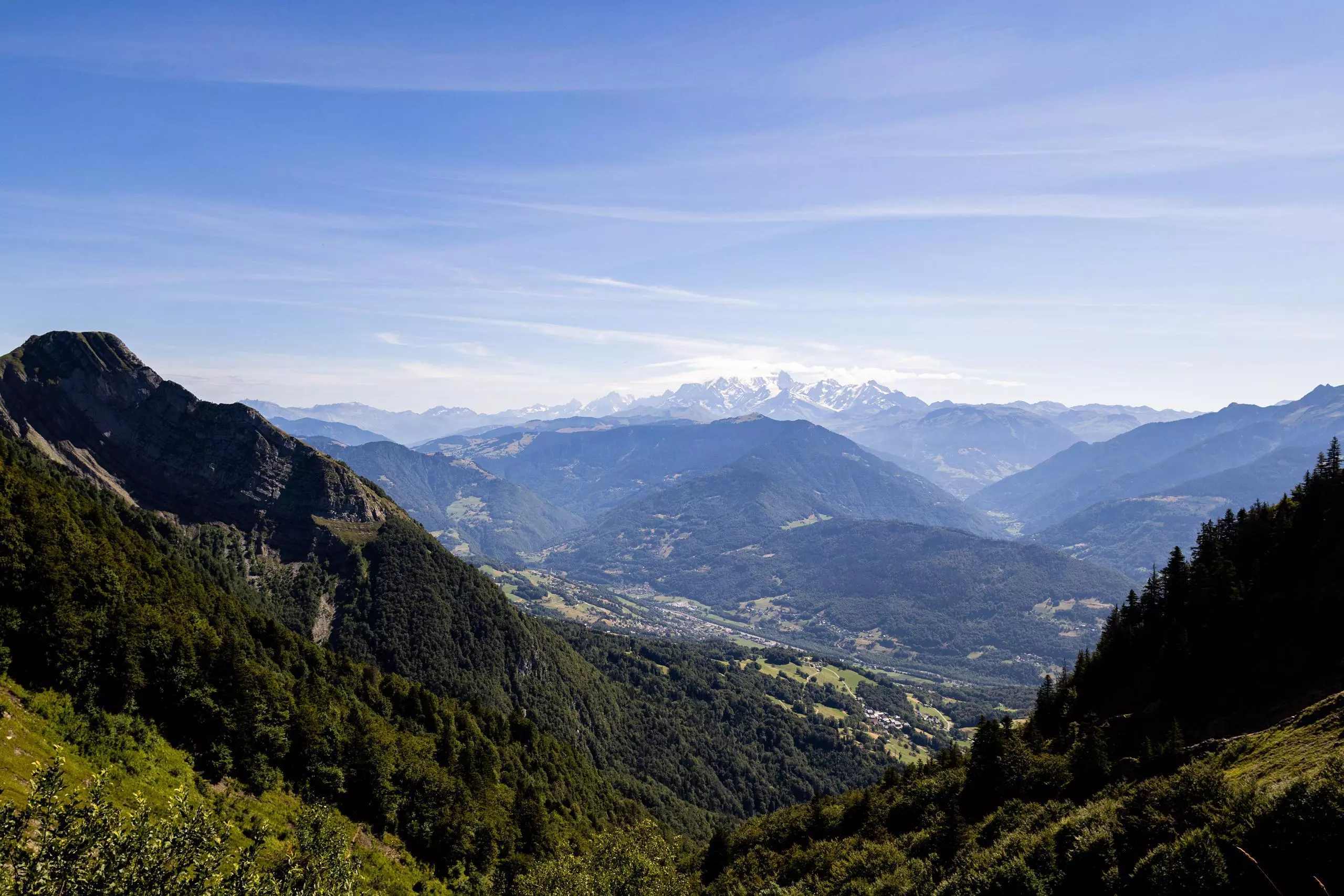
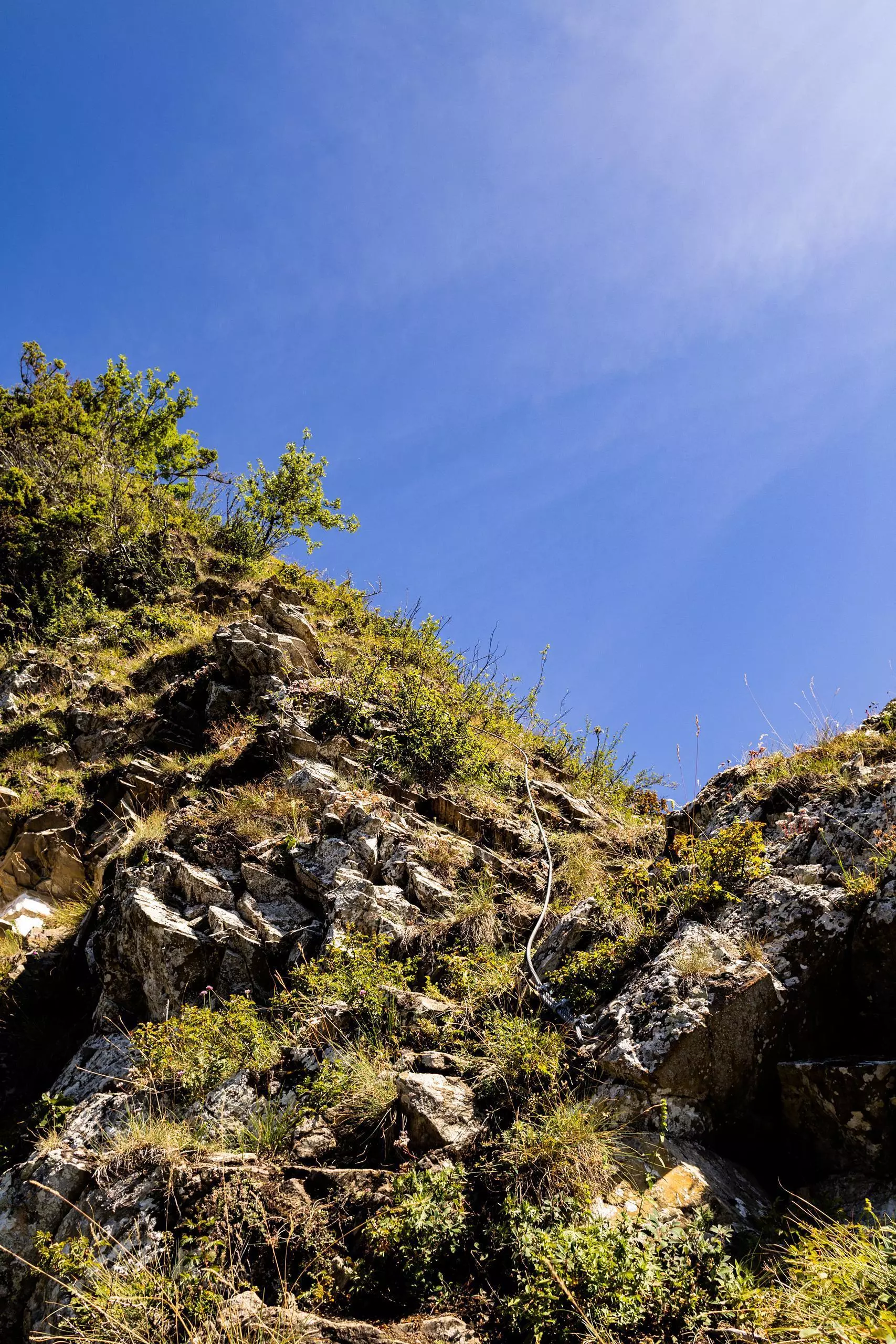
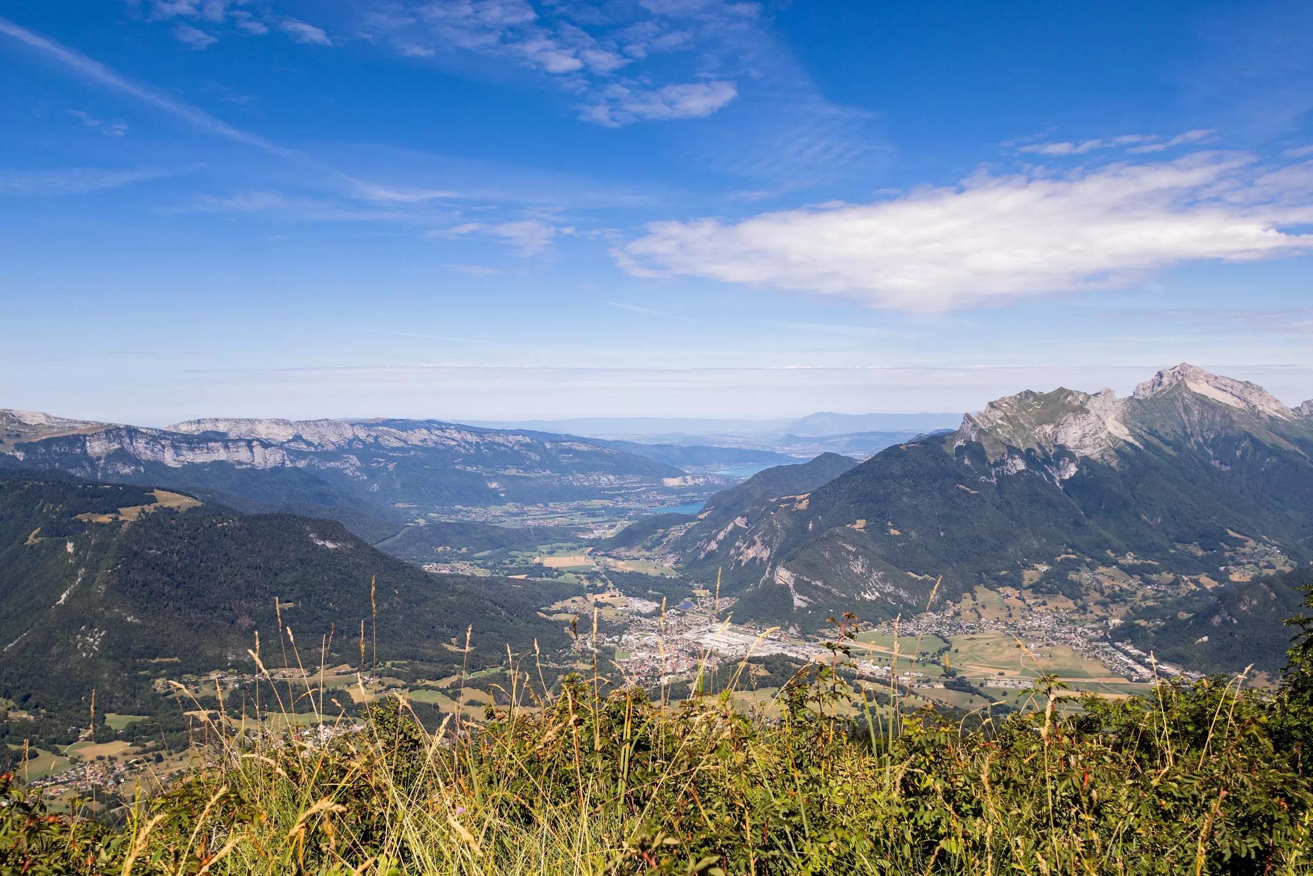
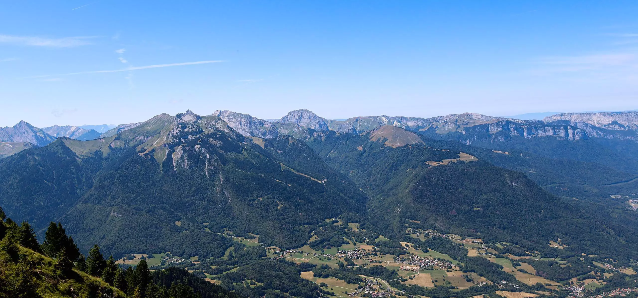
Please note: to set off from Frontenex, you have to walk off-trail in a few places, so the route is not signposted. What's more, the ridge line is quite aerial, and you'll need to hold on to the lifelines with your hands. This hike should not be attempted on wet ground. The hike takes many small paths on the way up, so be sure to refer to the map or your current position to be sure you're taking the right path. Once you've reached the Col de l'Alpette, turn left to follow the ridge to the Dent de Cons. Then continue straight on to reach the Chalet de l'Alpettaz. As with the ascent, the descent is on small paths that are not always well maintained. Watch out for tall grass.