MapPlanner
8,618mi
Distance
5h12m
Duration
2,03mph
Speed
4459ft
Elevation +
4413ft
Elevation -
3196ft
Min altitude
7142ft
Max altitude
Difficult
Level

Le Mont Trélod par les dents des Portes et Pleuven

The Mount Trélod from the Cul-du-Bois
View on the Mont Colombier while climbing to the Trélod
View on the Tournette and Annecy from the top of Trélod
View to the south from Mont Trélod

Route details

Explore this hiking route of 8,618mi starting from Doucy-en-Bauges, Savoie. The hike is a loop and returns to the starting point. This hike is rated as difficult, plan for about 5h12m to complete it. The route has a positive elevation gain of 4459ft and a negative elevation loss of 4413ft.

Description of the route by the creator

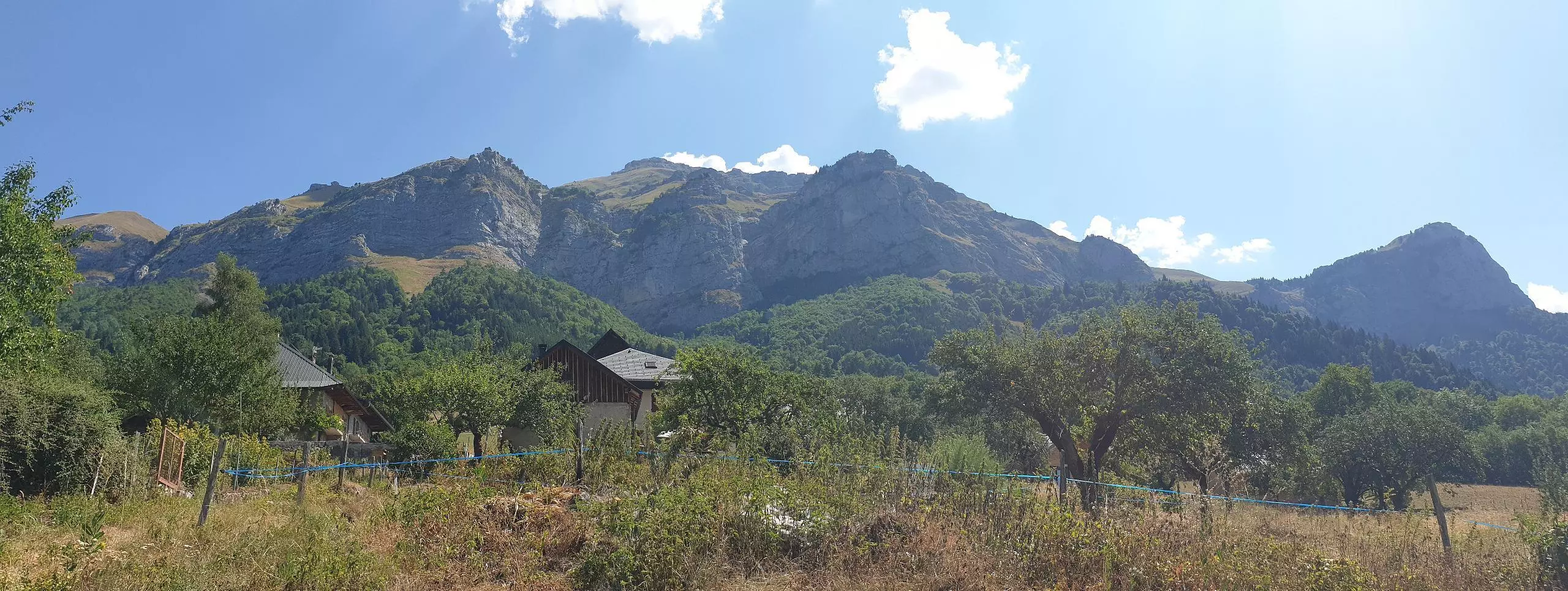
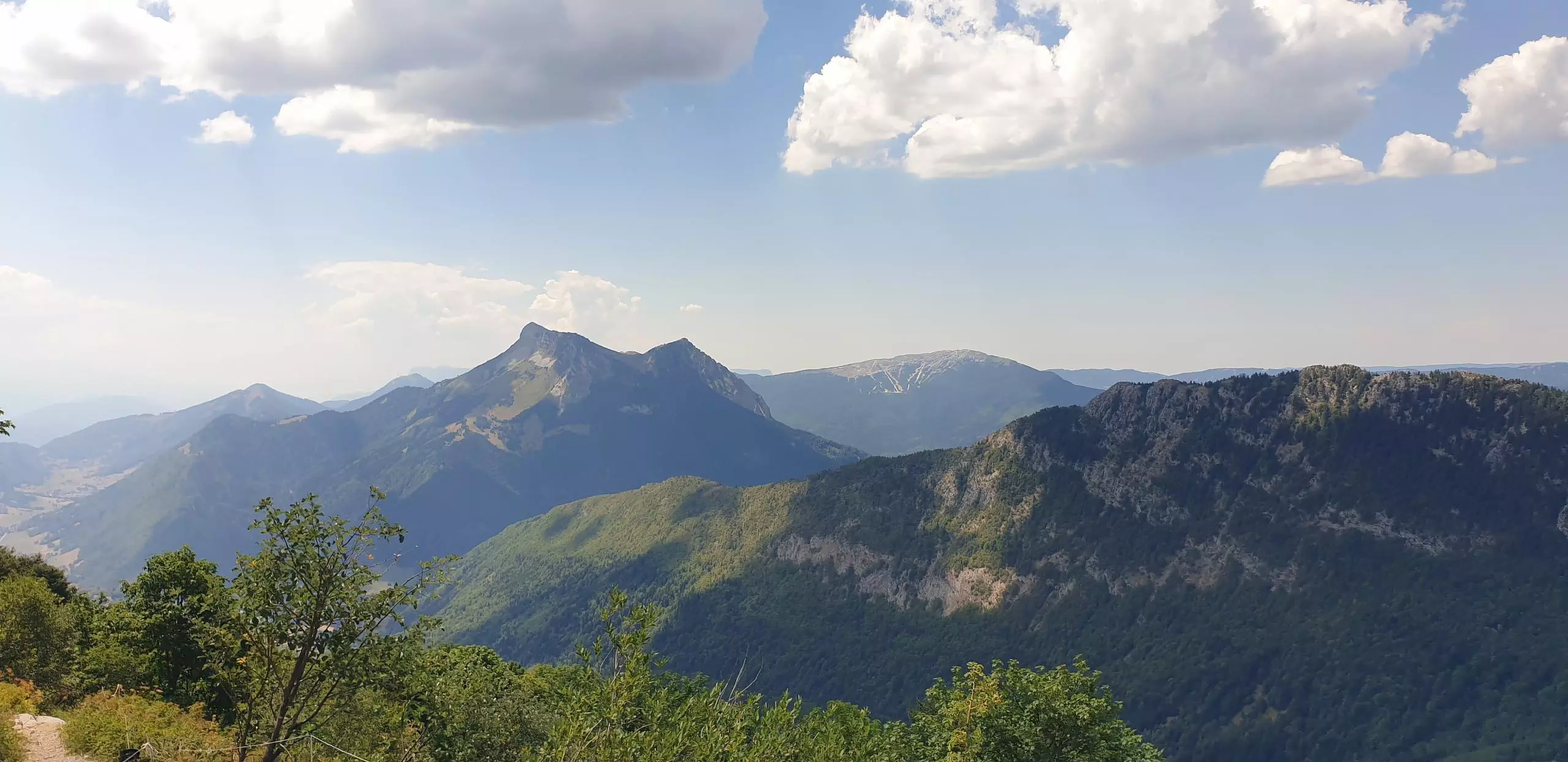
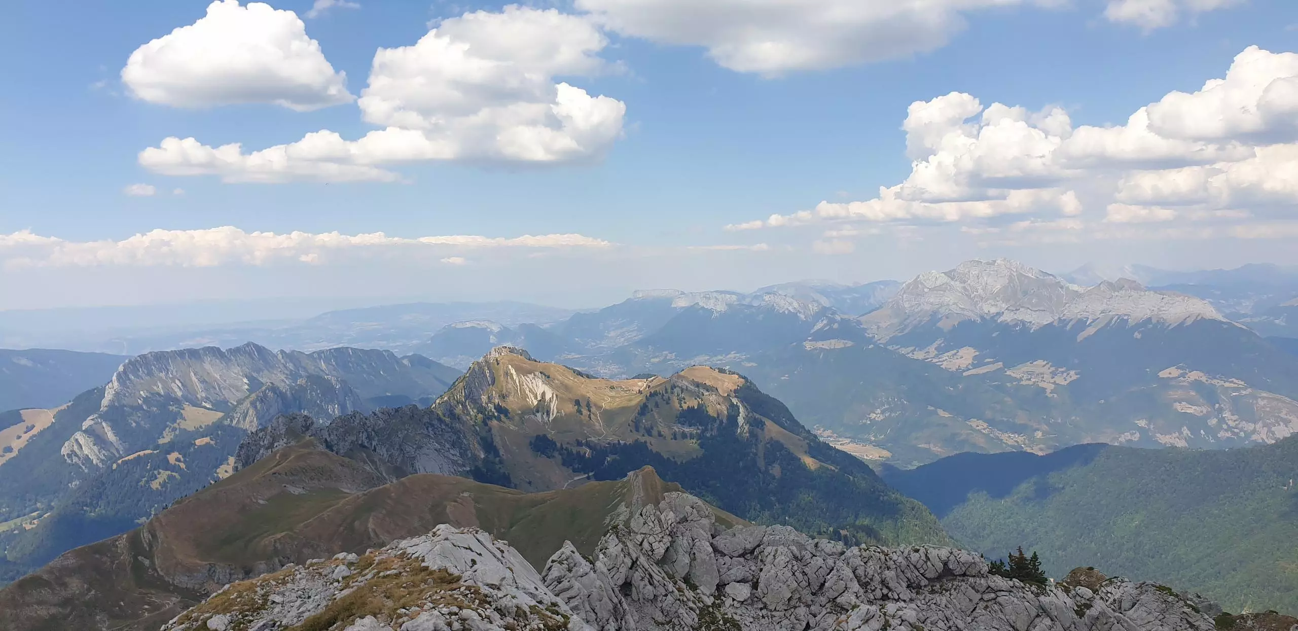
Park in the parking lot next to the church. Follow the road to the Cul-du-Bois. The road ends in a parking lot, then follow the path on the right that goes up. The signs indicate the Trélod. The first step is the arrival at the base of the dent des Portes. Continue on the right to go to the Mont Trélod. Be sure to stay on the paths, as the trail is located in a protected park. Although the path is a bit steep, there are no specific difficulties to reach the top of the Trélod. Continue on the path to cross Mont Trélod and then descend to the village and join the church parking lot.

(Description automatically translated)
Bauges

Route profile

4459ft
Elevation +
4413ft
Elevation -
3196ft
Min altitude
7142ft
Max altitude

How to get there

Route starting point: Chemin Pré Bocon, 73630 Doucy-en-Bauges

GPS coordinates of the starting point: 45.68625, 6.16802 / 45°41'10'' N, 6°10'4'' E