MapPlanner
14.349mi
Distance
7h45m
Duration
+4324ft
Elevation gain
-4321ft
Elevation loss
Hard
Level

Tour du Parmelan

Chemin du Petit Montoir
View of the Aravis mountains from Plan de l'Aigle
View of Lake Geneva from the Plan de l'Aigle
View of the Aravis mountains and Mont Blanc just before the refuge
Lake Annecy from the summit of Parmelan
View of the Parmelan refuge and Mont Blanc

Route details

1.85mph
Speed
3565 kcal
Calories burned
11.4%
Avg grade
Loop trail
Route type
3816ft
Min altitude
5984ft
Max altitude
Steep climb

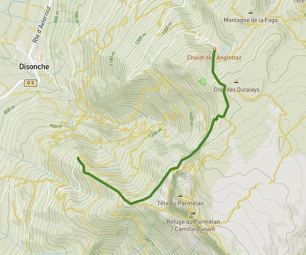
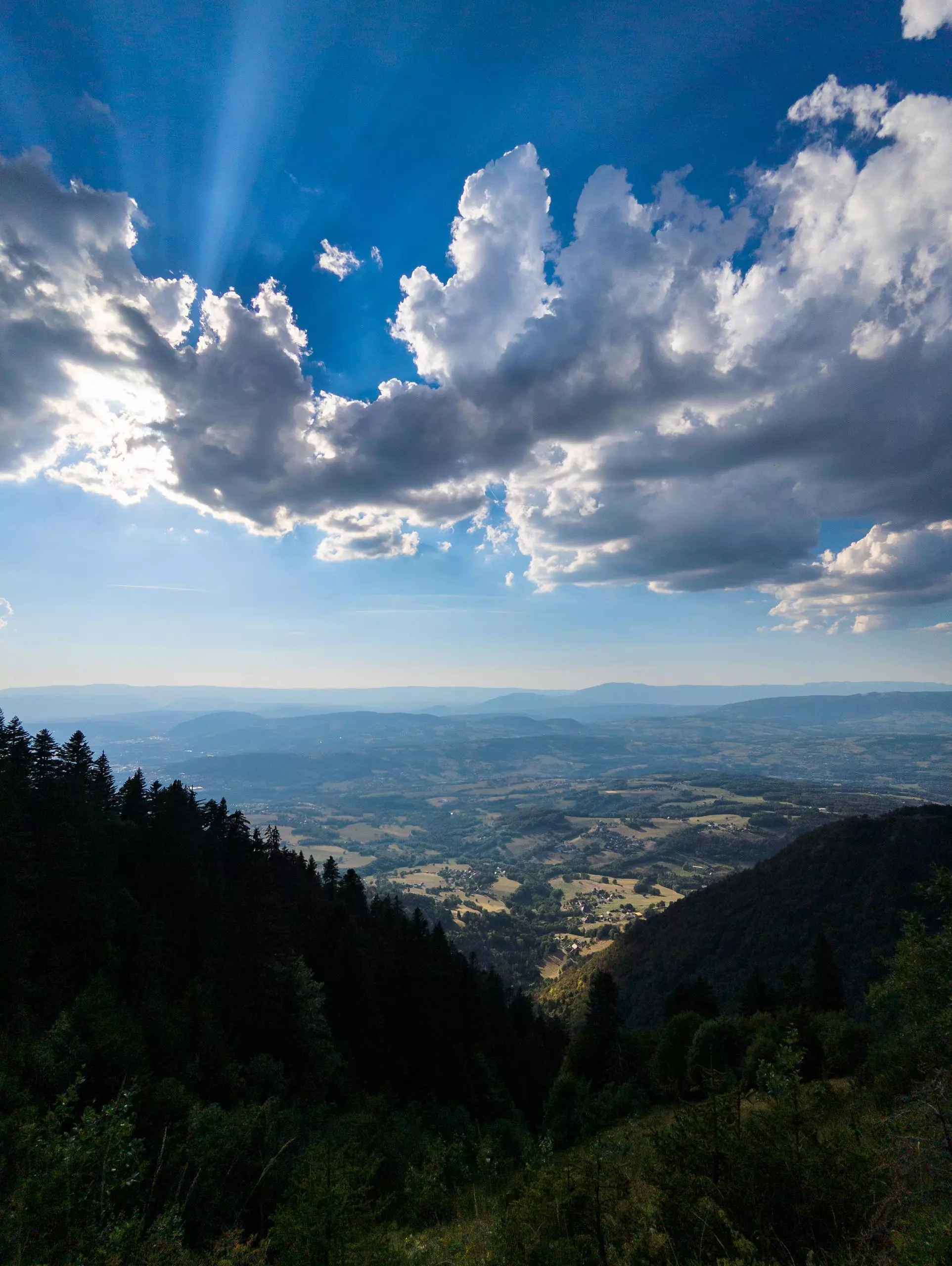
This hiking trail covers 14.349mi starting from Villaz, Haute-Savoie. The hike is a loop trail and returns to the trailhead. This hike is rated as hard, plan for about 7h45m to complete it. The route has an elevation gain of 4324ft and an elevation loss of 4321ft.

Description of the route by the creator

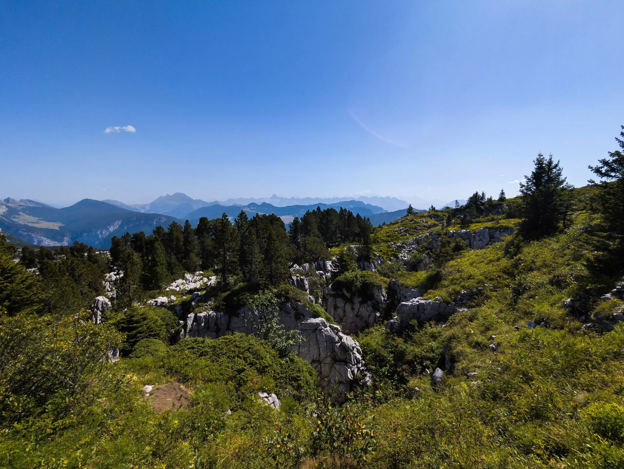
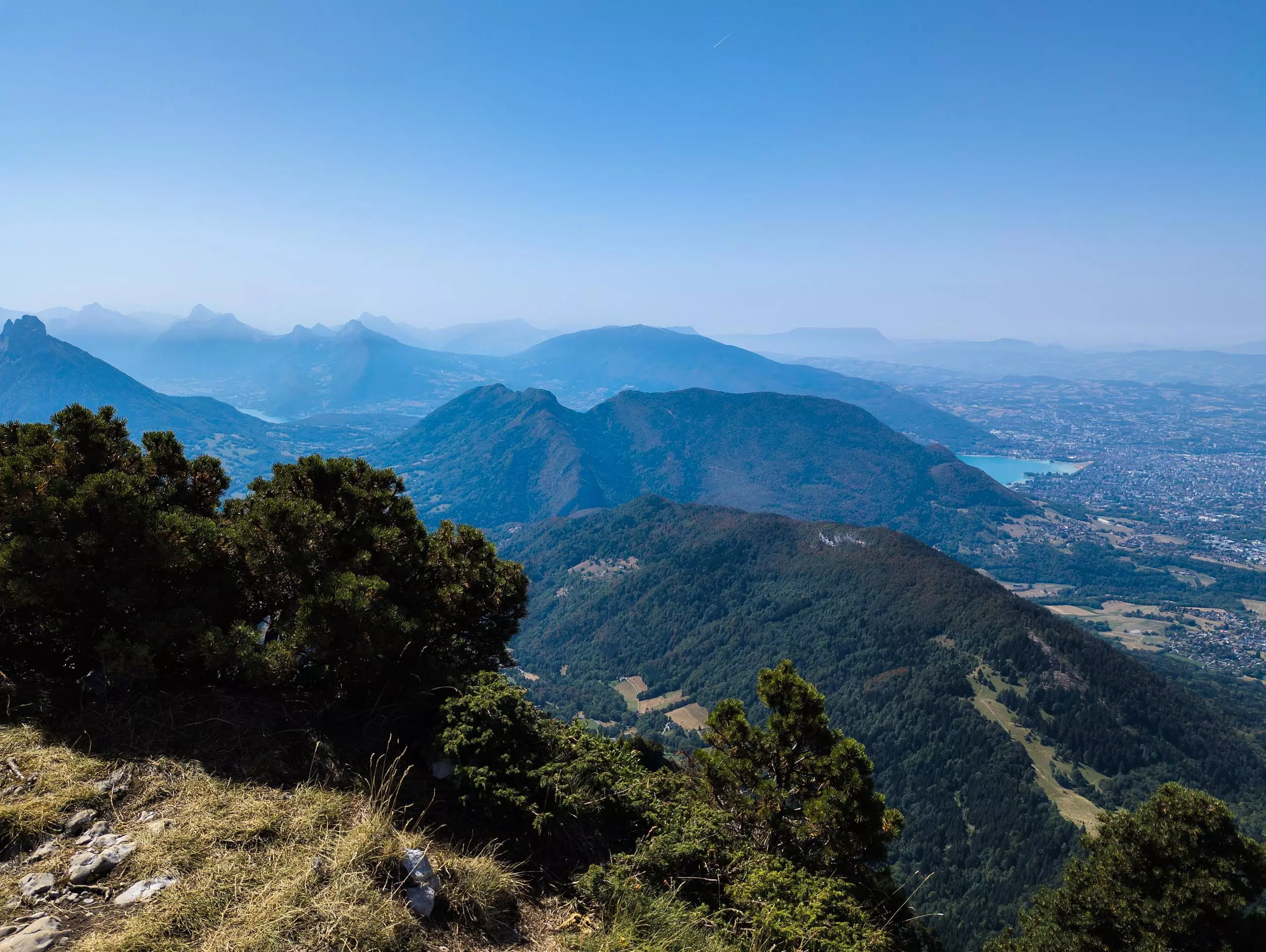
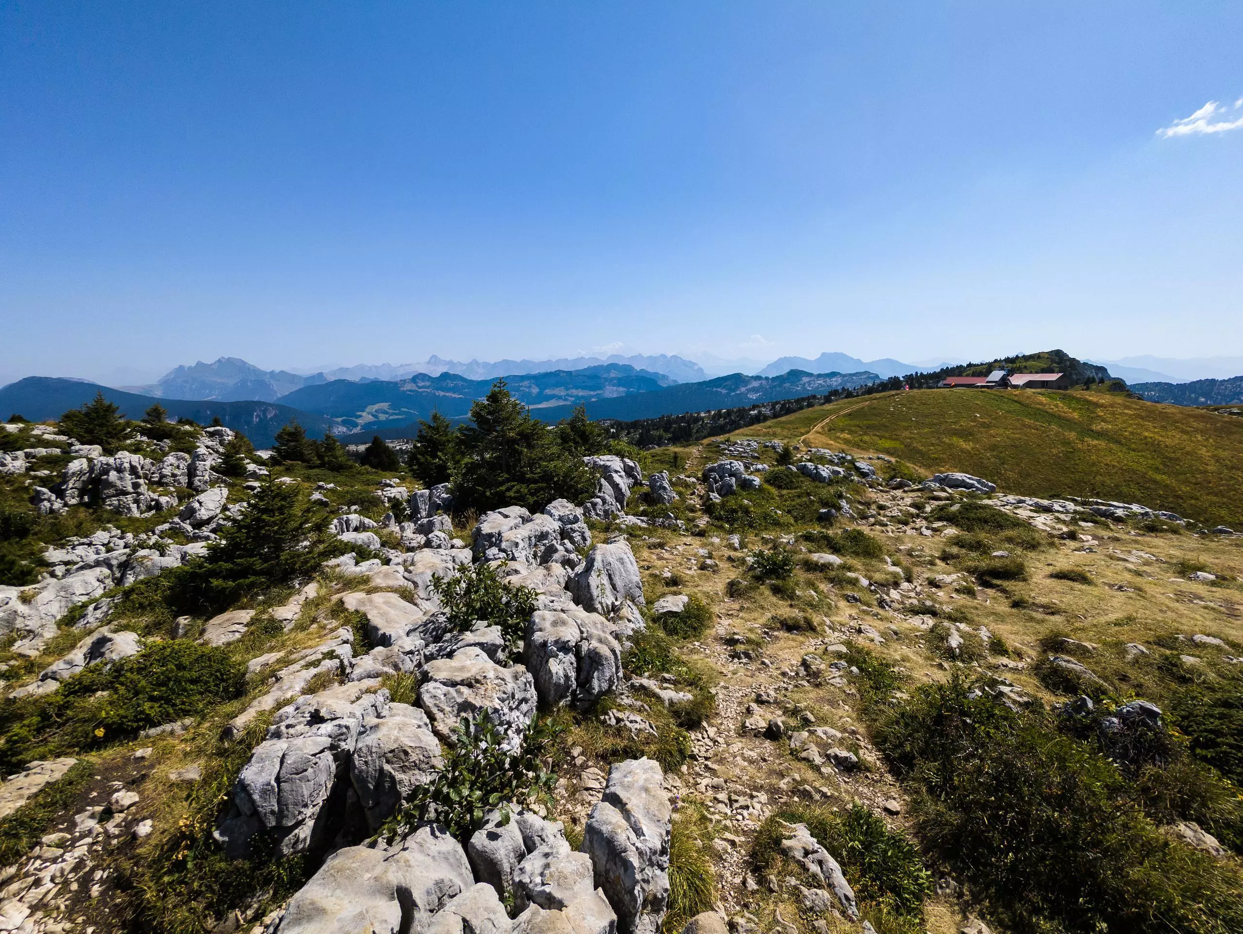
The route winds around the Parmelan from the Bois brûlé parking lot. Follow the signs to Petit Montoir, then on to Grotte de l'Enfer. The trail continues to the northernmost point, the Plan de l'Aigle. Go back down into the valley to reach the Pertuis mountain pasture. Then climb back up to the Parmelan refuge. Finally, descend via the Grand or Petit Montoir to reach the parking lot.

(Description automatically translated)

Route profile

4324ft
Elevation gain
4321ft
Elevation loss
3816ft
Min altitude
5984ft
Max altitude

How to get there

Trailhead: Route Du Parmelan, 74370 Villaz, France

GPS coordinates of the trailhead: 45.95201, 6.2221 / 45°57'7'' N, 6°13'19'' E

Caution: May Cross Private Property

This route may pass through or near private property. Always respect posted signs, obtain permission where required, and follow local trespassing laws. MapPlanner does not guarantee public access along any route.

Safety Notice

Trail and road conditions may change without notice due to weather, construction, or other factors. Always verify current conditions before heading out. You are responsible for your own safety — follow local signage, obey traffic laws, and use your best judgment on the trail.