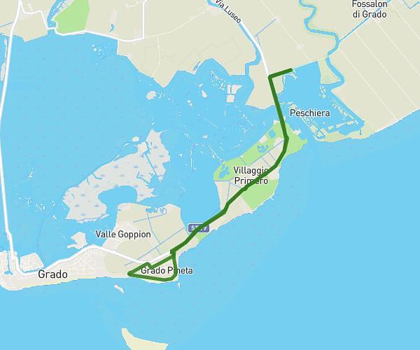
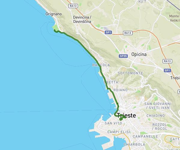
This running route covers 10.151mi starting from Trieste, Trieste. The run does not return to the trailhead and ends near Sp33 88, 34011 Duino Aurisina Trieste, Italy. This run is rated as hard, expect about 6h to complete it. The route has an elevation gain of 26ft and an elevation loss of 538ft.
Tappa lunga route
Route details
1.69mph
Speed
4116 kcal
Calories burned
Point to point
Route type
49ft
Min altitude
561ft
Max altitude
Route profile
26ft
Elevation gain
538ft
Elevation loss
49ft
Min altitude
561ft
Max altitude
How to get there
Trailhead: Localita' Prosecco 559, 34151 Trieste Trieste, Italy
GPS coordinates of the trailhead: 45.70958, 13.72711 / 45°42'34'' N, 13°43'37'' E