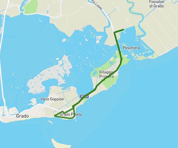
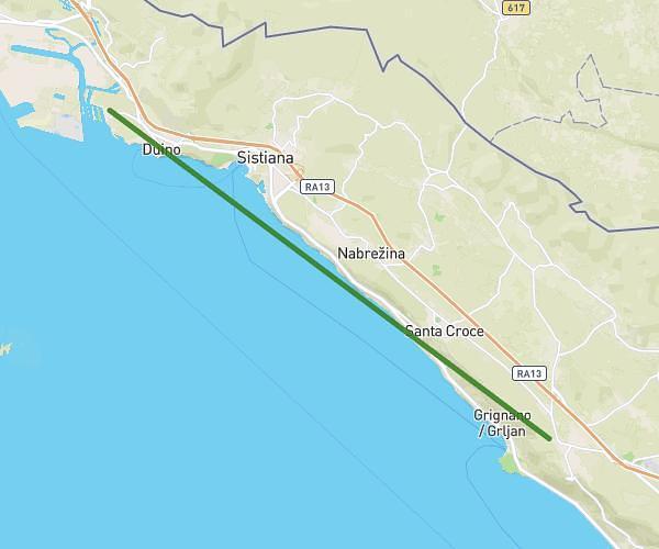
This running route covers 6.424mi starting from Trieste, Trieste. The run does not return to the trailhead and ends near Viale Della Rimembranza 4, 34131 Trieste Trieste, Italy. This run is rated as moderate, expect about 1h26m to complete it. The route has an elevation gain of 217ft and an elevation loss of 23ft.
Corsa dei castelli
Route details
4.47mph
Speed
985 kcal
Calories burned
Point to point
Route type
10ft
Min altitude
226ft
Max altitude
Route profile
217ft
Elevation gain
23ft
Elevation loss
10ft
Min altitude
226ft
Max altitude
How to get there
Trailhead: Viale Dei Lecci, 34136 Trieste Trieste, Italy
GPS coordinates of the trailhead: 45.70296, 13.7133 / 45°42'10'' N, 13°42'47'' E