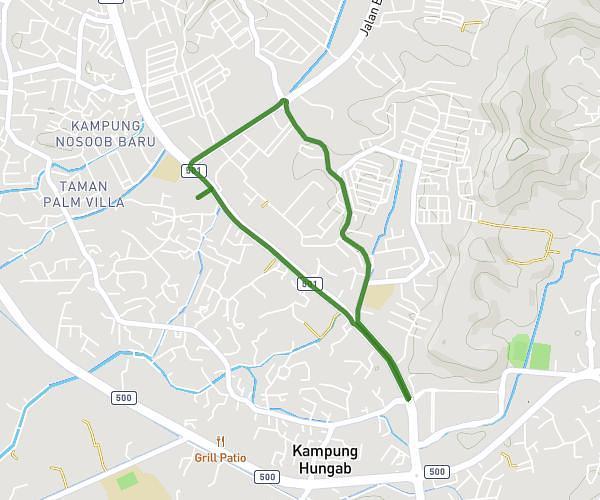
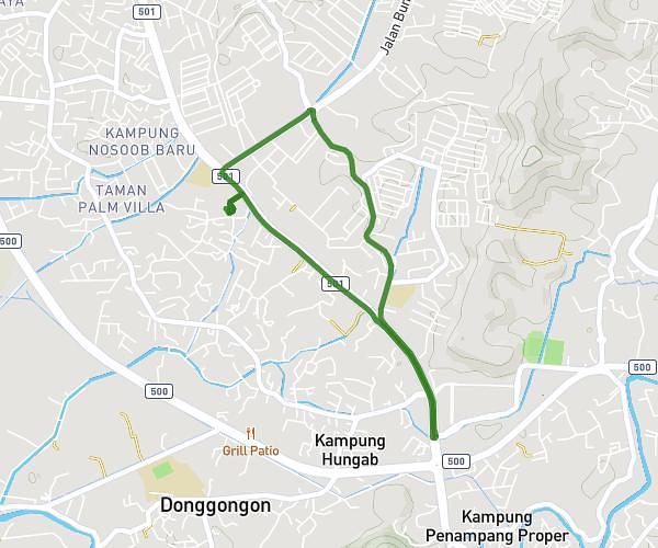
This running route covers 3.115mi starting from Kota Kinabalu, Sabah. The run is a loop trail and returns to the trailhead. This run is rated as easy, expect about 33m25s to complete it. The route has an elevation gain of 213ft and an elevation loss of 220ft.
Maryland Run 2026
Route details
5.59mph
Speed
382 kcal
Calories burned
Loop trail
Route type
20ft
Min altitude
92ft
Max altitude
Route profile
213ft
Elevation gain
220ft
Elevation loss
20ft
Min altitude
92ft
Max altitude
How to get there
Trailhead: 88300, Kota Kinabalu, Sabah, Malaysia
GPS coordinates of the trailhead: 5.922568, 116.089654 / 5°55'21'' N, 116°5'22'' E