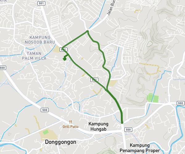
This running route covers 2.904mi starting from Kota Kinabalu, Sabah. The run is a loop trail and returns to the trailhead. This run is rated as easy, expect about 31m to complete it. The route has an elevation gain of 171ft and an elevation loss of 194ft.
Run
Route details
5.62mph
Speed
354 kcal
Calories burned
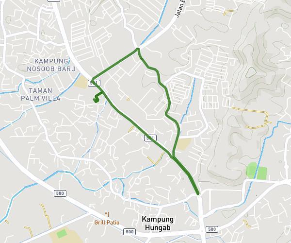
Loop trail
Route type
20ft
Min altitude
92ft
Max altitude
Route profile
171ft
Elevation gain
194ft
Elevation loss
20ft
Min altitude
92ft
Max altitude
How to get there
Trailhead: 88300, Kota Kinabalu, Sabah, Malaysia
GPS coordinates of the trailhead: 5.922935, 116.089856 / 5°55'22'' N, 116°5'23'' E