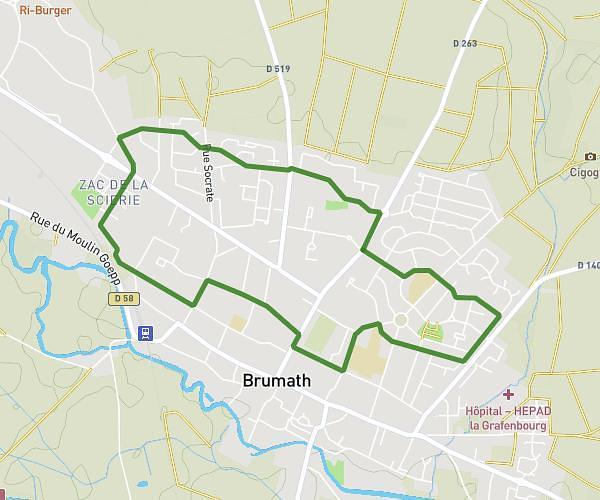
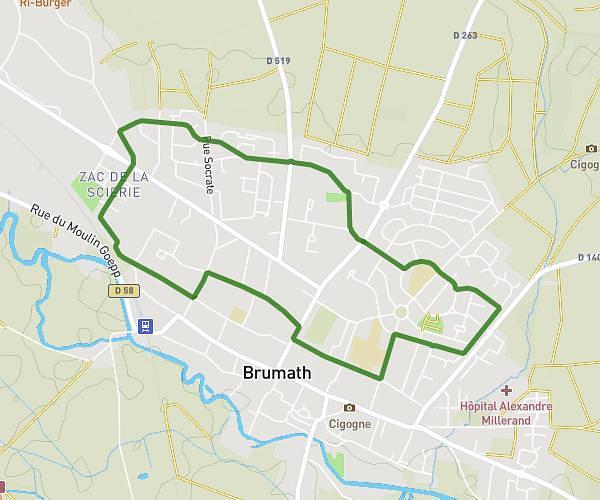
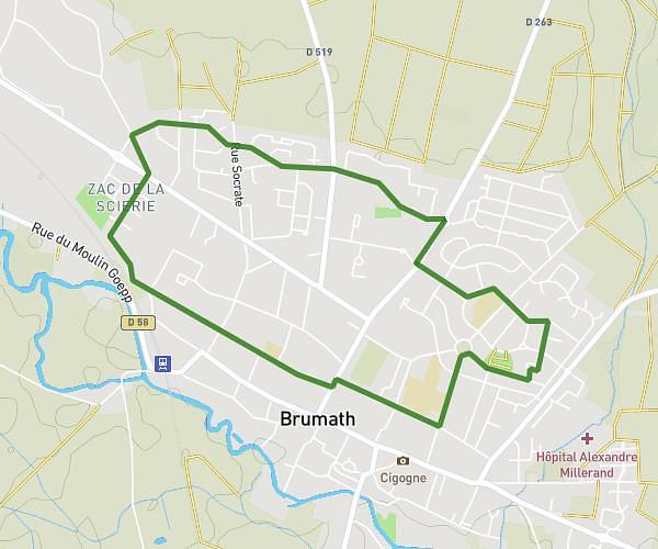
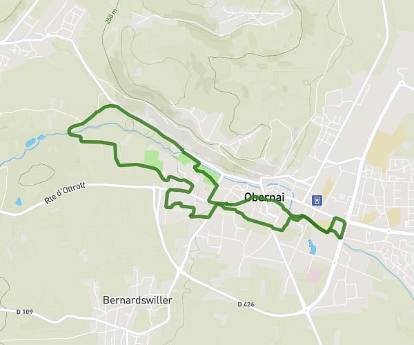
This running route covers 13.345mi starting from Scharrachbergheim-Irmstett, Bas-Rhin. The run does not return to the trailhead and ends near 1 Rue Des Tanneurs, 67120 Molsheim, France. This run is rated as strenuous, expect about 2h12m to complete it. The route has an elevation gain of 886ft and an elevation loss of 1033ft.
Semi-Marathon
Route details
6.05mph
Speed
1514 kcal
Calories burned
Point to point
Route type
548ft
Min altitude
758ft
Max altitude
Route profile
886ft
Elevation gain
1033ft
Elevation loss
548ft
Min altitude
758ft
Max altitude
How to get there
Trailhead: 104 Rue Principale, 67310 Scharrachbergheim-Irmstett, France
GPS coordinates of the trailhead: 48.59252, 7.498749 / 48°35'33'' N, 7°29'55'' E