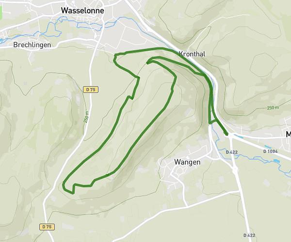
This running route covers 8.18mi starting from Gertwiller, Bas-Rhin. The run is a loop trail and returns to the trailhead. This run is rated as hard, expect about 1h28m to complete it. The route has an elevation gain of 56ft and an elevation loss of 207ft.
Aureeteno
Route details
5.58mph
Speed
1006 kcal
Calories burned
Loop trail
Route type
571ft
Min altitude
778ft
Max altitude
Route profile
56ft
Elevation gain
207ft
Elevation loss
571ft
Min altitude
778ft
Max altitude
How to get there
Trailhead: Hoeffelweg, 67140 Gertwiller, France
GPS coordinates of the trailhead: 48.41561, 7.46574 / 48°24'56'' N, 7°27'56'' E