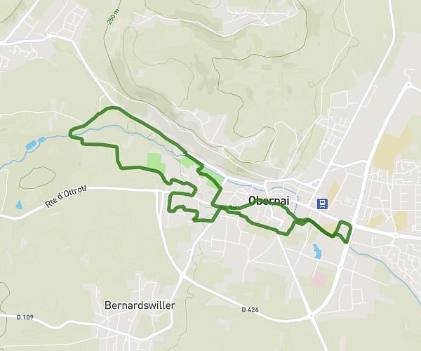
This running route covers 1.21mi starting from Meistratzheim, Bas-Rhin. The run is a loop trail and returns to the trailhead. This run is rated as easy, expect about 13m to complete it. The route has an elevation gain of 39ft and an elevation loss of 39ft.
1..
Route details
5.59mph
Speed
149 kcal
Calories burned
Loop trail
Route type
509ft
Min altitude
522ft
Max altitude
Route profile
39ft
Elevation gain
39ft
Elevation loss
509ft
Min altitude
522ft
Max altitude
How to get there
Trailhead: 327 Rue Principale, 67210 Meistratzheim, France
GPS coordinates of the trailhead: 48.448332, 7.536992 / 48°26'53'' N, 7°32'13'' E