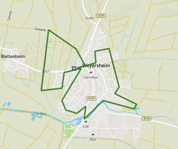
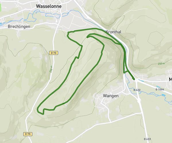
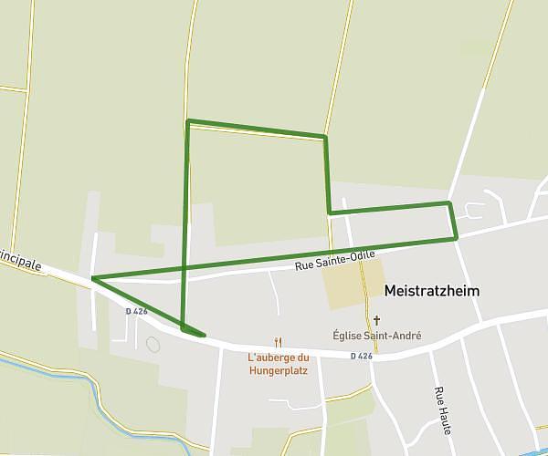
This running route covers 3.679mi starting from Griesheim-sur-Souffel, Bas-Rhin. The run is a loop trail and returns to the trailhead. This run is rated as easy, expect about 59m12s to complete it. The route has an elevation gain of 335ft and an elevation loss of 331ft.
test course
Route details
3.73mph
Speed
677 kcal
Calories burned
Loop trail
Route type
463ft
Min altitude
607ft
Max altitude
Route profile
335ft
Elevation gain
331ft
Elevation loss
463ft
Min altitude
607ft
Max altitude
How to get there
Trailhead: 10 Rue Des Prés, 67370 Griesheim-sur-Souffel, France
GPS coordinates of the trailhead: 48.633089, 7.666507 / 48°37'59'' N, 7°39'59'' E