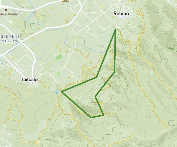
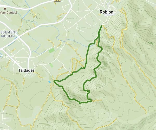
This hiking trail covers 3.08mi starting from Robion, Vaucluse. The hike is a loop trail and returns to the trailhead. This hike is rated as hard, plan for about 1h11m to complete it. The route has an elevation gain of 1070ft and an elevation loss of 1066ft.
Col de la gnole - badarel
Route details
2.6mph
Speed
551 kcal
Calories burned
13.1%
Avg grade
Loop trail
Route type
427ft
Min altitude
1155ft
Max altitude
Steep climb
Route profile
1070ft
Elevation gain
1066ft
Elevation loss
427ft
Min altitude
1155ft
Max altitude
How to get there
Trailhead: 346 Chemin De Boulon Haut, 84440 Robion, France
GPS coordinates of the trailhead: 43.841663, 5.111113 / 43°50'29'' N, 5°6'40'' E