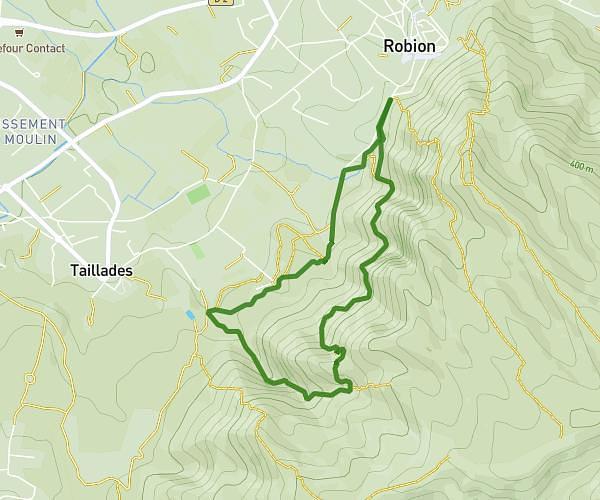
This hiking trail covers 9.979mi starting from Fontaine-de-Vaucluse, Vaucluse. The hike is a loop trail and returns to the trailhead. This hike is rated as strenuous, plan for about 4h54m to complete it. The route has an elevation gain of 2743ft and an elevation loss of 2753ft.
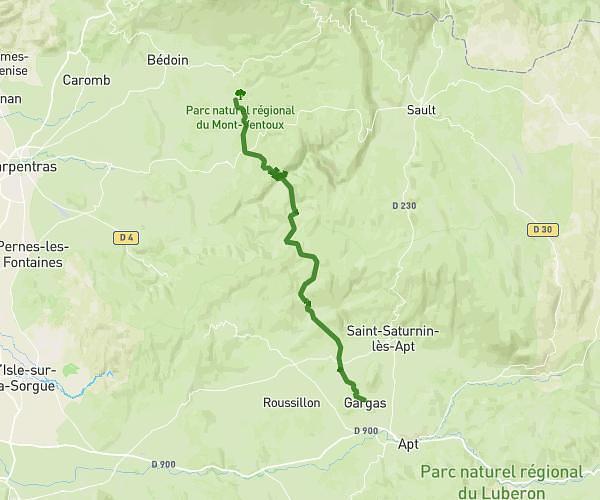
Fontaine de Vaucluse
Route details
2.04mph
Speed
2237 kcal
Calories burned
10.4%
Avg grade
Loop trail
Route type
335ft
Min altitude
2192ft
Max altitude
Steep climb
Route profile
2743ft
Elevation gain
2753ft
Elevation loss
335ft
Min altitude
2192ft
Max altitude
How to get there
Trailhead: D 100a, 84800 Fontaine-de-Vaucluse, France
GPS coordinates of the trailhead: 43.91343, 5.12793 / 43°54'48'' N, 5°7'40'' E