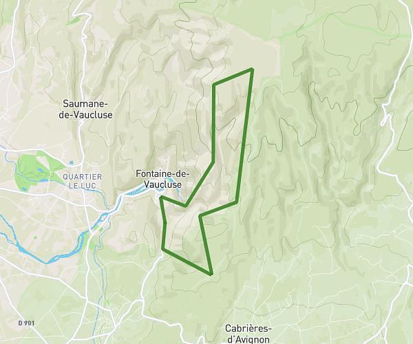
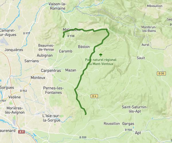
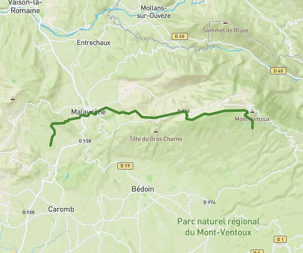
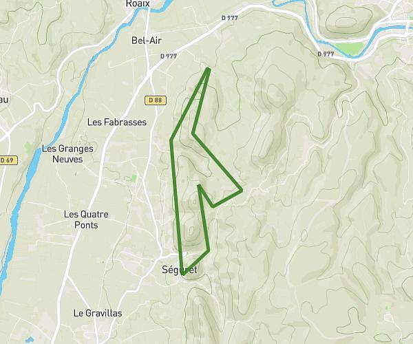
This hiking trail covers 24.106mi starting from Flassan, Vaucluse. The hike does not return to the trailhead and ends near 34 Route Des Serres, 84400 Gargas, France. This hike is rated as strenuous, plan for about 9h44m to complete it. The route has an elevation gain of 3780ft and an elevation loss of 4318ft.
etape 2 FLASSAN GARGAS
Route details
2.48mph
Speed
4290 kcal
Calories burned
6.4%
Avg grade
Point to point
Route type
843ft
Min altitude
2484ft
Max altitude
Route profile
3780ft
Elevation gain
4318ft
Elevation loss
843ft
Min altitude
2484ft
Max altitude
How to get there
Trailhead: 11 Le Cours Du Clos, 84410 Flassan, France
GPS coordinates of the trailhead: 44.098213, 5.241942 / 44°5'53'' N, 5°14'30'' E