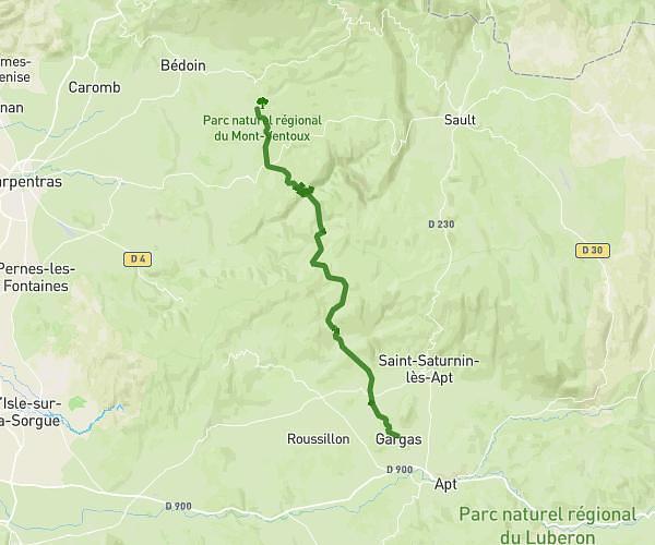
This hiking trail covers 36.774mi starting from Le Barroux, Vaucluse. The hike does not return to the trailhead and ends near 1 Chemin De L'abbaye De Sénanque, 84220 Gordes, France. This hike is rated as strenuous, plan for about 15h13m to complete it. The route has an elevation gain of 7441ft and an elevation loss of 7454ft.
Raid Cimes
Route details
2.42mph
Speed
6799 kcal
Calories burned
7.7%
Avg grade
Point to point
Route type
604ft
Min altitude
5971ft
Max altitude
Route profile
7441ft
Elevation gain
7454ft
Elevation loss
604ft
Min altitude
5971ft
Max altitude
How to get there
Trailhead: 1201 Chemin Des Rabassières, 84330 Le Barroux, France
GPS coordinates of the trailhead: 44.15194, 5.09825 / 44°9'6'' N, 5°5'53'' E