MapPlanner
6.785mi
Distance
2h11m
Duration
19:19/mi
Pace
Hard
Level

Giro di costa

Route details

19:19/mi
Pace
535 kcal
Calories burned
Loop trail
Route type
581ft
Min altitude
997ft
Max altitude

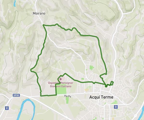
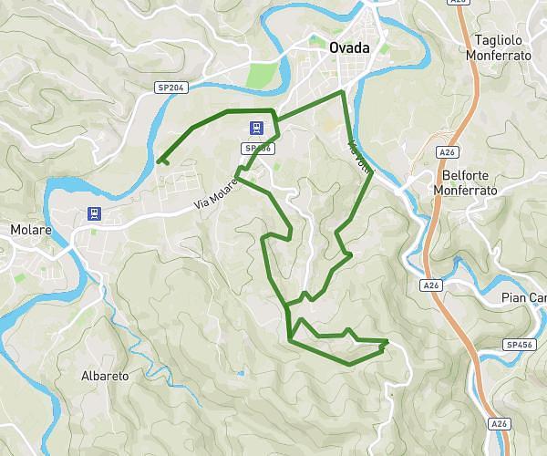
This walking route covers 6.785mi starting from Ovada, Alessandria. The walk is a loop trail and returns to the trailhead. This walk is rated as hard, plan for about 2h11m to complete it. The route has an elevation gain of 666ft and an elevation loss of 666ft.

Route profile

666ft
Elevation gain
666ft
Elevation loss
581ft
Min altitude
997ft
Max altitude

How to get there

Trailhead: Strada Rebba, 15076 Ovada

GPS coordinates of the trailhead: 44.62686, 8.61992 / 44°37'36'' N, 8°37'11'' E

Caution: May Cross Private Property

This route may pass through or near private property. Always respect posted signs, obtain permission where required, and follow local trespassing laws. MapPlanner does not guarantee public access along any route.

Safety Notice

Trail and road conditions may change without notice due to weather, construction, or other factors. Always verify current conditions before heading out. You are responsible for your own safety — follow local signage, obey traffic laws, and use your best judgment on the trail.