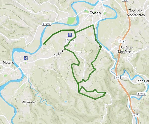
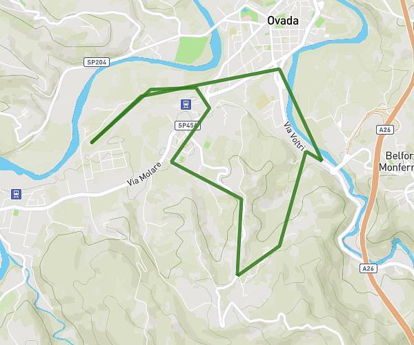
This walking route covers 6.562mi starting from Acqui Terme, Alessandria. The walk is a loop trail and returns to the trailhead. This walk is rated as hard, plan for about 1h49m to complete it. The route has an elevation gain of 817ft and an elevation loss of 820ft.
Camminata routine
Route details
16:37/mi
Pace
445 kcal
Calories burned
Loop trail
Route type
512ft
Min altitude
1220ft
Max altitude
Route profile
817ft
Elevation gain
820ft
Elevation loss
512ft
Min altitude
1220ft
Max altitude
How to get there
Trailhead: Via Nizza 11, 15011 Acqui Terme Alessandria, Italy
GPS coordinates of the trailhead: 44.67946, 8.47238 / 44°40'46'' N, 8°28'20'' E