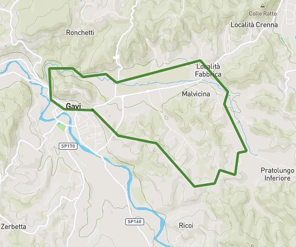
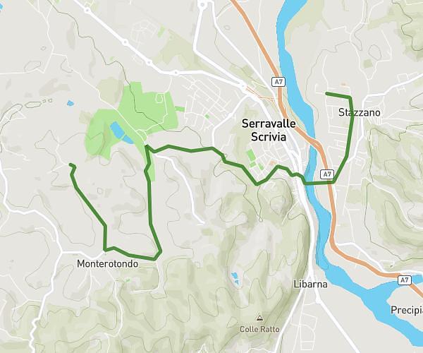
This hiking trail covers 11.955mi starting from Ovada, Alessandria. The hike is a loop trail and returns to the trailhead. This hike is rated as hard, plan for about 3h11m to complete it. The route has an elevation gain of 1493ft and an elevation loss of 1496ft.
Giro di costa
Route details
3.75mph
Speed
1390 kcal
Calories burned
4.7%
Avg grade
Loop trail
Route type
581ft
Min altitude
1775ft
Max altitude
Route profile
1493ft
Elevation gain
1496ft
Elevation loss
581ft
Min altitude
1775ft
Max altitude
How to get there
Trailhead: Strada Rebba 36a, 15076 Ovada Alessandria, Italy
GPS coordinates of the trailhead: 44.62692, 8.62003 / 44°37'36'' N, 8°37'12'' E