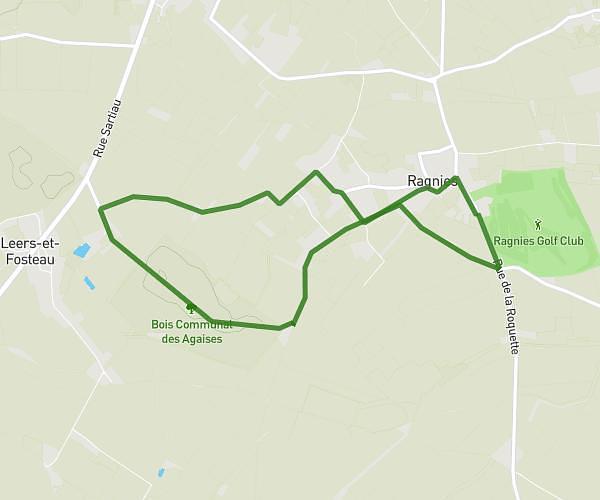
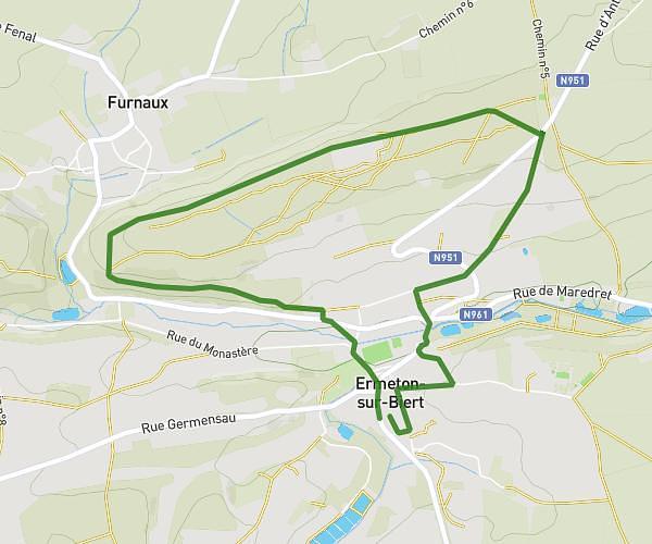
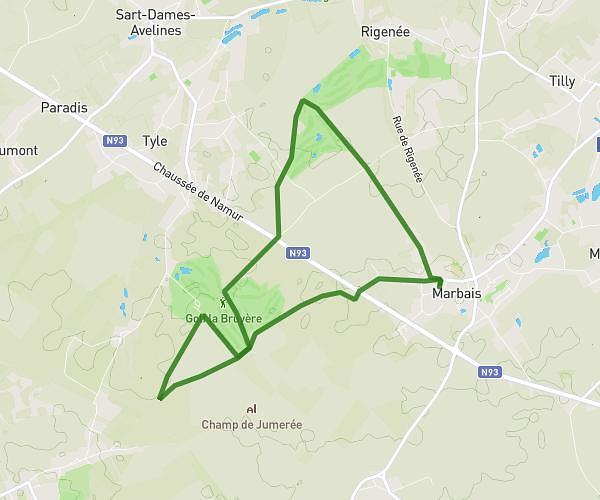
This hiking trail covers 4.852mi starting from Gerpinnes, Hainaut. The hike is a loop trail and returns to the trailhead. This hike is rated as easy, plan for about 1h38m to complete it. The route has an elevation gain of 417ft and an elevation loss of 413ft.
gourmet walk
Route details
2.97mph
Speed
705 kcal
Calories burned
3.2%
Avg grade
Loop trail
Route type
518ft
Min altitude
732ft
Max altitude
Route profile
417ft
Elevation gain
413ft
Elevation loss
518ft
Min altitude
732ft
Max altitude
How to get there
Trailhead: Rue Du Chateau D'en Bas 11, 6280 Gerpinnes, Hainaut, Belgium
GPS coordinates of the trailhead: 50.341386, 4.527927 / 50°20'28'' N, 4°31'40'' E