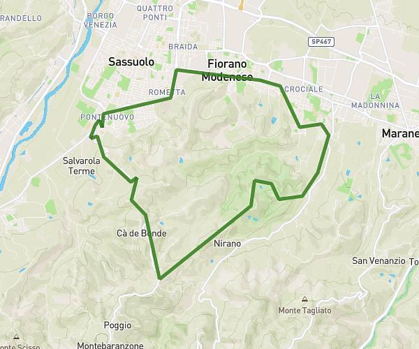
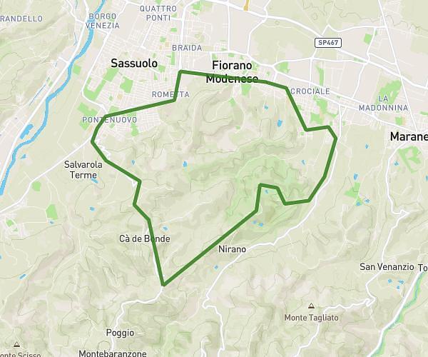
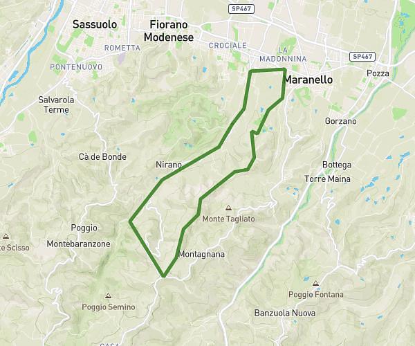
This running route covers 9.701mi starting from Fiorano Modenese, Modena. The run is a loop trail and returns to the trailhead. This run is rated as hard, expect about 1h18m to complete it. The route has an elevation gain of 125ft and an elevation loss of 98ft.
formigine
Route details
7.46mph
Speed
892 kcal
Calories burned
Loop trail
Route type
289ft
Min altitude
413ft
Max altitude
Route profile
125ft
Elevation gain
98ft
Elevation loss
289ft
Min altitude
413ft
Max altitude
How to get there
Trailhead: Via Vittorio Veneto 34, 41042 Fiorano Modenese Modena, Italy
GPS coordinates of the trailhead: 44.53901, 10.811224 / 44°32'20'' N, 10°48'40'' E