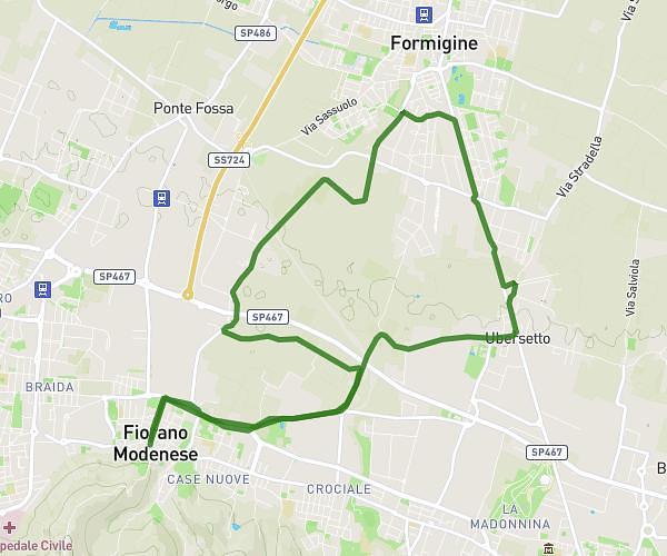
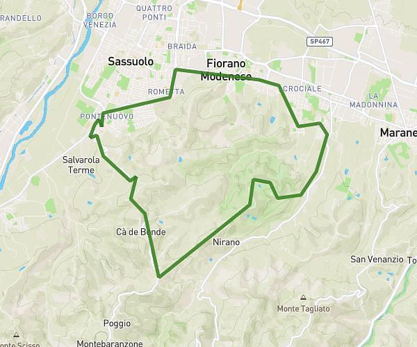
This running route covers 11.981mi starting from Maranello, Modena. The run is a loop trail and returns to the trailhead. This run is rated as strenuous, expect about 2h to complete it. The route has an elevation gain of 1467ft and an elevation loss of 1467ft.
Nirano-Rocca-Fogliano
Route details
5.99mph
Speed
1372 kcal
Calories burned
Loop trail
Route type
440ft
Min altitude
1670ft
Max altitude
Route profile
1467ft
Elevation gain
1467ft
Elevation loss
440ft
Min altitude
1670ft
Max altitude
How to get there
Trailhead: Via Rio Salse I Traversa, 41053 Maranello Modena, Italy
GPS coordinates of the trailhead: 44.51299, 10.836759 / 44°30'46'' N, 10°50'12'' E