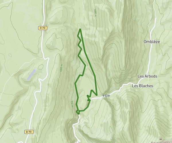
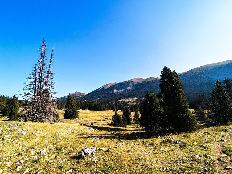
This hiking trail covers 15.311mi starting from Omblèze, Drôme. The hike is a loop trail and returns to the trailhead. This hike is rated as strenuous, plan for about 6h44m to complete it. The route has an elevation gain of 3645ft and an elevation loss of 3537ft.
Canyon des geulards et gorges d'Omblèze
Route details
2.27mph
Speed
3041 kcal
Calories burned
8.9%
Avg grade
Loop trail
Route type
1644ft
Min altitude
3881ft
Max altitude
Steep climb
Route profile
3645ft
Elevation gain
3537ft
Elevation loss
1644ft
Min altitude
3881ft
Max altitude
How to get there
Trailhead: 235 Chemin De La Druise, 26400 Omblèze, France
GPS coordinates of the trailhead: 44.82886, 5.194959 / 44°49'43'' N, 5°11'41'' E